Fishes Batten Kill
River · Southwestern Vermont · Vermont
Batten Kill Fishing Guides
Vermont's most famous trout river, and one of the few with no gauge: twenty miles of clear, cold, catch-and-release water between Manchester and the New York line, fished with artificial lures and flies only.
Map of the Batten Kill
27 numbered points: 3 access points, 2 campsites, 5 bait & fly shops, 11 bridges, 2 parks and conservation areas, 3 regulation section limits, 1 USGS gauge. Tap a marker for details. Reviewed Sep 26, 2026.
- Access / boat ramp (3)
- Campsite (2)
- Bait, tackle & fly shop (5)
- Bridge crossing (11)
- Park / conservation area (2)
- Regulation section limit (3)
- USGS gauge (1)
Map data © OpenStreetMap contributors. Points are curated from OpenStreetMap and state agency sources; confirm access and hours before you go.
Print it. Bag it. Bring it.Phones die, screens crack, and most of this water has no signal. Print this map, fold it into a zip-top bag or dry bag with your license, and you have a backup your electronics can’t give you. Every marker is numbered so you can say exactly where you are.
Open the printable mapAll 27 points on this map
| # | Point | Type | Lat, Lon | Notes |
|---|---|---|---|---|
| 1 | US 7 bridge south of East Dorset Special-regulation reach limit | Regulation section limit | 43.22989, -73.01043 | Upstream limit of the Batten Kill special-regulation reach that runs down to the Depot Street bridge in Manchester. US 7 is divided here and the marker sits on the upstream carriageway. |
| 2 | Vermont Route 7A | Bridge crossing | 43.22685, -73.01138 | |
| 3 | Benedict Road | Bridge crossing | 43.22546, -73.01253 | |
| 4 | Barnumville Road | Bridge crossing | 43.18975, -73.01707 | |
| 5 | Depot Street bridge, Manchester VT 11 / VT 30 crossing | Regulation section limit | 43.17357, -73.03754 | Boundary between the two Batten Kill special-regulation reaches: downstream limit of the upper reach and upstream limit of the reach running to the New York line. |
| 6 | Adams Park Manchester Center | Park / conservation area | 43.17756, -73.05298 | |
| 7 | The Reel Angler Fly shop, Manchester Center | Bait, tackle & fly shop | 43.17438, -73.05210 | |
| 8 | The Mountain Goat Outdoor shop, Manchester Center | Bait, tackle & fly shop | 43.17674, -73.05662 | Tagged as a general outdoor shop rather than a fly shop, so check before relying on it for tackle. |
| 9 | Orvis Flagship Store Manchester | Bait, tackle & fly shop | 43.16903, -73.06579 | |
| 10 | Orvis Fishing School Manchester | Bait, tackle & fly shop | 43.16927, -73.06668 | |
| 11 | Orvis Fly Rod Shop and Factory Manchester | Bait, tackle & fly shop | 43.16828, -73.06482 | |
| 12 | Union Street | Bridge crossing | 43.16204, -73.05585 | |
| 13 | Richville Road | Bridge crossing | 43.13230, -73.08009 | |
| 14 | Sunderland Hill Road | Bridge crossing | 43.11511, -73.09578 | |
| 15 | Hill Farm Road | Bridge crossing | 43.11516, -73.12048 | |
| 16 | Wagon Wheel Vermont F and W leased access, Arlington | Access / boat ramp | 43.09760, -73.14140 | Boating and fishing access. |
| 17 | Camping on the Battenkill Arlington | Campsite | 43.08403, -73.14828 | |
| 18 | Arlington Recreation Park Arlington | Park / conservation area | 43.07901, -73.15329 | |
| 19 | Waterworks Bridge Vermont F and W leased access, Arlington | Access / boat ramp | 43.07660, -73.15680 | Boating and fishing access. |
| 20 | Vermont Route 313 West Arlington | Bridge crossing | 43.07646, -73.15711 | |
| 21 | USGS gauge - Batten Kill at Arlington Live flow and stage | USGS gauge | 43.07619, -73.15677 | |
| 22 | Howells Camping Area Arlington | Campsite | 43.06844, -73.16491 | Customer access only. |
| 23 | Benedict Crossing Road | Bridge crossing | 43.08990, -73.19891 | |
| 24 | Arlington Green Covered Bridge Covered bridge | Bridge crossing | 43.10435, -73.22034 | |
| 25 | River Road | Bridge crossing | 43.10295, -73.25463 | |
| 26 | Red Mill Vermont F and W access | Access / boat ramp | 43.10600, -73.25840 | Slipway and parking at the Red Mill; the last Vermont access before the state line. |
| 27 | New York state line Special-regulation reach limit | Regulation section limit | 43.10635, -73.26495 | Downstream limit of the Batten Kill special-regulation reach that begins at the Depot Street bridge in Manchester, and the end of the Vermont water. |
Guides on the Batten Kill
Claimed profiles take booking requests. Unclaimed profiles are built from public records so the river is never empty; the guide can claim or remove one any time.
Order on this page: premium and outfitter plans first (labelled Premium placement), then claimed free profiles, then unclaimed — one published price, no bidding for position. How placement works
About the Batten Kill
The Batten Kill rises under Mount Equinox and runs southwest through Manchester, Sunderland and Arlington before crossing into New York at West Arlington. It is the river most people picture when they picture Vermont trout fishing, and it earned that reputation honestly: spring-fed, gin clear, cold well into July, and full of wild brown and brook trout that have never been stocked over. Nothing about it is easy. The water is thin enough that a heavy first cast puts down a pool, the browns hold tight to undercut banks and downed timber, and the same clarity that makes the river beautiful is what makes its fish so hard to approach.
Vermont manages the main stem as a catch-and-release trout fishery. From the New York line upstream roughly twenty and a half miles to the downstream side of the Depot Street bridge in Manchester, every trout must be released immediately and only artificial lures and flies are permitted. The season runs from the second Saturday in April through 31 October and the river is closed to all fishing from 1 November until the following spring, which protects the fall spawn. The East Branch above Depot Street, upstream to the Route 7 bridge south of East Dorset, is a separate special-regulation stream: artificials only, an eight-trout limit with no minimum length through 30 September, then catch-and-release through October.
This page carries no live conditions, and that is deliberate rather than an oversight. The Arlington gauge stopped recording in 1984 and no instantaneous replacement was ever installed, so there is no honest number to publish. Read the river instead. It clears fast after rain because the valley drains quickly, it runs low and warm by late July in a dry year, and the best fishing of the season is usually the two weeks either side of the Hendrickson hatch in late April and the long, cool evenings of September. Anglers who want a flow number to anchor on generally watch the Battenville, New York gauge downstream and adjust for the tributaries that come in between.
This water needs a real photo
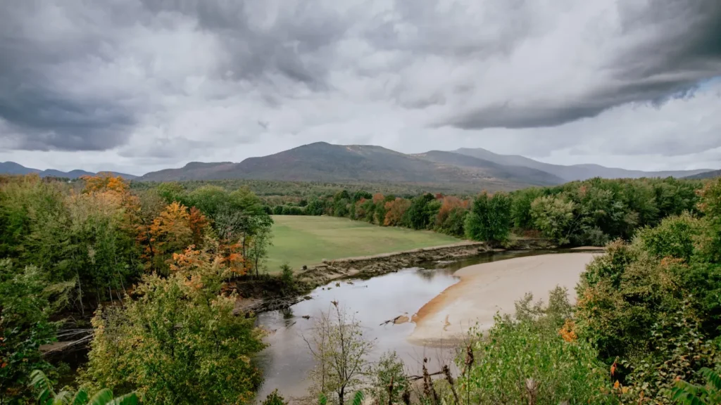
The photo at the top of this page is not Batten Kill.
It is a regional stand-in, honestly captioned but generic — we will not put a name to a river we cannot prove. Send us a photograph you took here and it replaces the stand-in, with your credit on it.
Pioneer badgeUnclaimed
Add a photo of this water
Landscape, not fish — the water itself. Reviewed by hand before it appears. The first one published here earns the Pioneer badge.
Fished this water? Add a photo
Reviewed by hand before it appears. Pick the water, not the spot — we never publish exact locations.
Access
Arlington - Route 313 west of the village follows the river for several miles with pull-offs and marked angler parking.
West Arlington covered bridge - parking at the green, wadeable water up and down from the bridge.
Route 7A between Arlington and Sunderland - repeated highway pull-offs, all within a short walk of the water.
Manchester, Depot Street bridge - the upstream boundary of the catch-and-release main stem, easy access from town.
East Branch along Route 7A north of Manchester - the special-regulation branch, small water, roadside access.
Battenkill Valley Rail Trail between Manchester and Arlington - foot access to reaches you cannot reach by car.
No live gauge on this reach. USGS 01329490 at Battenville, New York, twenty river miles downstream and below the Green River, is the nearest indicator and reads higher than the Vermont water.
Seasons
Spring: the season opens the second Saturday in April. Hendricksons come off in the last two weeks of April and are the best dry-fly fishing of the year; the river is high and coloured after snowmelt but drops quickly.
Summer: early morning and the last hour of light. Terrestrials along the banks in July and August, and by late summer in a dry year the river runs low and warm enough that fishing it in the afternoon is hard on the fish.
Fall: September is the quiet best of it - cool nights, low clear water, browns feeding hard before the spawn. The season closes 31 October.
Winter: closed. The main stem and East Branch are shut to all fishing from 1 November until the second Saturday in April.
From the water
No logged trips yet. Be the first to put this water on your map.
Log this water
Fished it or cleaned it? Log in or create a free account to log a trip with photos and earn the waterway badge.
Questions
What species can you catch on the Batten Kill?
Anglers target Brook Trout, Brown Trout, Rainbow Trout on the Batten Kill in Vermont.
Are there fishing guides on the Batten Kill?
GuidedFloats lists 3 guides and outfitters on the Batten Kill. Claimed profiles accept booking requests; unclaimed profiles are built from public records and link to the business.
Where can you access the Batten Kill?
Arlington - Route 313 west of the village follows the river for several miles with pull-offs and marked angler parking. West Arlington covered bridge - parking at the green, wadeable water up and down from the bridge. Route 7A between Arlington and Sunderland - repeated highway pull-offs, all within a short walk of the water. Manchester, Depot Street bridge - the upstream boundary of the catch-and-release main stem, easy access from town. East Branch along Route 7A north of Manchester - the special-regulation branch, small water, roadside access. Battenkill Valley Rail Trail between Manchester...
When is the best time to fish the Batten Kill?
Spring: the season opens the second Saturday in April. Hendricksons come off in the last two weeks of April and are the best dry-fly fishing of the year; the river is high and coloured after snowmelt but drops quickly. Summer: early morning and the last hour of light. Terrestrials along the banks in July and August, and by late summer in a dry year the river runs low and warm enough that fishing it in the afternoon is hard on the fish. Fall: September is the quiet best of it - cool nights, low clear water, browns feeding hard before the spawn. The season closes 31 October. Winter: closed. The...
Where are the fishing regulations for the Batten Kill?
Regulations change by season and section. Read the current rules on the Vermont agency site: https://www.vtfishandwildlife.com/fish/fishing-regulations