Fishes John Day River
River · North-central Oregon high desert between the Blue Mountains and the Columbia · Oregon
John Day River Fishing Guides
The longest undammed river in Oregon, a high-desert canyon float famous for wild summer steelhead and a smallmouth bass fishery measured in hundreds of fish per day.
Map of the John Day River
23 numbered points: 5 access points, 5 campsites, 1 outfitter, 4 parks and conservation areas, 1 agency office, 5 hazards, 1 USGS gauge, 1 point of interest. Tap a marker for details. Reviewed Sep 15, 2026.
- Access / boat ramp (5)
- Campsite (5)
- Outfitter / canoe rental (1)
- Park / conservation area (4)
- Agency / conservation office (1)
- Dam / hazard (5)
- USGS gauge (1)
- Point of interest (1)
Map data © OpenStreetMap contributors. Points are curated from OpenStreetMap and state agency sources; confirm access and hours before you go.
Print it. Bag it. Bring it.Phones die, screens crack, and most of this water has no signal. Print this map, fold it into a zip-top bag or dry bag with your license, and you have a backup your electronics can’t give you. Every marker is numbered so you can say exactly where you are.
Open the printable mapAll 23 points on this map
| # | Point | Type | Lat, Lon | Notes |
|---|---|---|---|---|
| 1 | Blue Mountain Ranger Station Malheur National Forest · John Day | Agency / conservation office | 44.41600, -118.94311 | |
| 2 | Grant County Fairgrounds RV Park RV park on the river in John Day | Campsite | 44.42094, -118.95200 | |
| 3 | Clyde Holliday State Recreation Site Oregon State Parks · Hwy 26 at Mount Vernon | Park / conservation area | 44.41592, -119.09049 | Day use and campground on the upper main stem; the campground node sits 60 m away and is merged here. |
| 4 | Fish House Inn and RV Park Lodging and RV sites · Hwy 26 at Dayville | Campsite | 44.46748, -119.53569 | |
| 5 | Spray Riverfront Park Town park and river frontage at Spray | Park / conservation area | 44.82514, -119.79500 | |
| 6 | Muleshoe Recreation Site BLM recreation site above Service Creek | Campsite | 44.80763, -119.96655 | |
| 7 | Service Creek Recreation Site BLM launch and campground · Hwy 19 / Hwy 207 | Access / boat ramp | 44.79369, -120.00094 | The standard put-in for the Service Creek to Clarno float. |
| 8 | Service Creek Resort Store, lodging and shuttles at the put-in | Outfitter / canoe rental | 44.79731, -120.00824 | |
| 9 | Shoofly Rapids Named rapid below Service Creek | Dam / hazard | 44.76327, -120.09114 | |
| 10 | Twickenham Boat Launch River launch at the Twickenham bridge | Access / boat ramp | 44.73681, -120.16551 | |
| 11 | Priest Hole Boat Launch BLM launch · primitive camping at the same site | Access / boat ramp | 44.74001, -120.27129 | The BLM Priest Hole recreation-site node 90 m away is merged here. |
| 12 | Lower Burnt Ranch Campground BLM campground at Burnt Ranch | Campsite | 44.74620, -120.36454 | |
| 13 | Pine Creek Conservation Area Conservation property above Clarno | Park / conservation area | 44.91031, -120.43941 | |
| 14 | Clarno Locality at the Hwy 218 river crossing | Point of interest | 44.91474, -120.47338 | The BLM Clarno launch is not separately mapped in OpenStreetMap; this is the crossing it sits at. |
| 15 | Clarno Rapids Named rapid below the Hwy 218 crossing | Dam / hazard | 44.96543, -120.47942 | The rapid the Clarno reach is named for; the upper and lower nodes 12 m apart are merged here. |
| 16 | Lower Clarno Rapids Second drop below Clarno | Dam / hazard | 44.97235, -120.47937 | |
| 17 | Basalt Rapid Named rapid in the lower canyon | Dam / hazard | 45.10285, -120.50341 | |
| 18 | Thirtymile Boat Launch River launch in the lower canyon | Access / boat ramp | 45.16020, -120.47063 | |
| 19 | J.S. Burres Boat Ramp State wayside ramp at the Hwy 206 bridge | Access / boat ramp | 45.47704, -120.46882 | The J.S. Burres wayside and trailhead nodes within 50 m are merged here. |
| 20 | Lone Tree Campground Campground at the Hwy 206 crossing | Campsite | 45.48388, -120.45855 | Cottonwood Canyon State Park itself is not named in OpenStreetMap; this is its campground. |
| 21 | Rock Creek Recreation Site BLM site on the lower river | Park / conservation area | 45.56862, -120.40218 | |
| 22 | USGS 14048000 — John Day River at McDonald Ferry USGS streamgage | USGS gauge | 45.58763, -120.40949 | The flow reference for the whole lower river. |
| 23 | Tumwater Falls Falls near the mouth | Dam / hazard | 45.65720, -120.50075 | The last drop above the Columbia backwater; two nodes 130 m apart merged here. |
Guides on the John Day River
Claimed profiles take booking requests. Unclaimed profiles are built from public records so the river is never empty; the guide can claim or remove one any time.
Order on this page: premium and outfitter plans first (labelled Premium placement), then claimed free profiles, then unclaimed — one published price, no bidding for position. How placement works
About the John Day River
The John Day is the longest undammed river in Oregon and one of the longest free-flowing rivers in the country, running roughly two hundred and eighty miles from the Blue Mountains northwest to the Columbia. The gauge at McDonald Ferry sits near the bottom and watches about seventy-five hundred square miles. It carries discharge, stage and a live water temperature series, and on this river the temperature reading is not a nicety: summer water here routinely climbs into the range where fishing becomes a conservation question rather than a comfort one.
Because nothing regulates it, the John Day is a boom-and-bust river. It runs big and brown with snowmelt in March and April, drops through May into the best rafting flows of the year, and then falls away to a warm, low, clear late-summer trickle in the lower canyon. Multi-day float trips through the roadless canyon between Service Creek and Cottonwood Bridge are the classic way to see it, and permits and shuttle logistics are part of the planning.
The fishery has two halves. Smallmouth bass in the lower and middle canyon are extraordinarily abundant, and a good May or June day genuinely produces fish in the high double or low triple digits, which makes this one of the best introductory fly-fishing rivers in the West. Wild summer steelhead enter from the Columbia in autumn and are fished from October into winter, entirely wild with no hatchery supplementation.
The John Day is also a place where the season matters more than the spot. Guides here work a spring bass window and a fall steelhead window and largely stay off the river in between, when heat and low water make it a poor and unkind place to fish.
This water needs a real photo
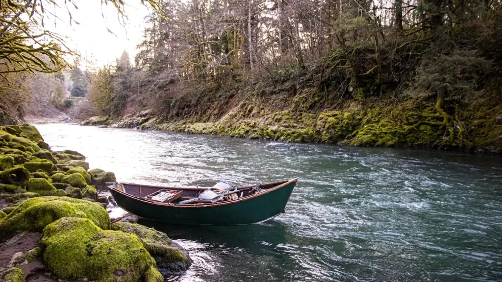
The photo at the top of this page is not John Day River.
It is a regional stand-in, honestly captioned but generic — we will not put a name to a river we cannot prove. Send us a photograph you took here and it replaces the stand-in, with your credit on it.
Pioneer badgeUnclaimed
Add a photo of this water
Landscape, not fish — the water itself. Reviewed by hand before it appears. The first one published here earns the Pioneer badge.
Fished this water? Add a photo
Reviewed by hand before it appears. Pick the water, not the spot — we never publish exact locations.
Access
Service Creek - the standard put-in for multi-day canyon floats.
Twickenham - upper access and an alternate launch.
Clarno - a major access point and the head of the lower canyon run.
Cottonwood Canyon State Park at the Highway 206 bridge - the main lower takeout with camping and trails.
McDonald Ferry near the gauge - the flow and temperature reference for the lower river.
Kimberly and the North Fork confluence - upper river access and cooler tributary water.
The mouth at the Columbia near Rufus - the very bottom of the system.
Seasons
Spring: snowmelt runoff early, then the best rafting flows and the beginning of superb smallmouth fishing.
Summer: hot, low and warm-watered; the river is largely left alone through July and August.
Fall: wild summer steelhead arrive and become the focus from October onward.
Winter: cold and quiet, with steelhead still present and very few people on the water.
From the water
No logged trips yet. Be the first to put this water on your map.
Log this water
Fished it or cleaned it? Log in or create a free account to log a trip with photos and earn the waterway badge.
Questions
What is the current flow on the John Day River?
As of Oct 24, 8:45 am, the USGS gauge JOHN DAY RIVER AT MCDONALD FERRY, OR reads 210 cfs, with water temperature 48.4 F. Conditions update every 15 minutes.
What species can you catch on the John Day River?
Anglers target Channel Catfish, Chinook Salmon, Mountain Whitefish, Rainbow Trout, Smallmouth Bass, Steelhead on the John Day River in Oregon.
Are there fishing guides on the John Day River?
GuidedFloats lists 2 guides and outfitters on the John Day River. Claimed profiles accept booking requests; unclaimed profiles are built from public records and link to the business.
Where can you access the John Day River?
Service Creek - the standard put-in for multi-day canyon floats. Twickenham - upper access and an alternate launch. Clarno - a major access point and the head of the lower canyon run. Cottonwood Canyon State Park at the Highway 206 bridge - the main lower takeout with camping and trails. McDonald Ferry near the gauge - the flow and temperature reference for the lower river. Kimberly and the North Fork confluence - upper river access and cooler tributary water. The mouth at the Columbia near Rufus - the very bottom of the system.
When is the best time to fish the John Day River?
Spring: snowmelt runoff early, then the best rafting flows and the beginning of superb smallmouth fishing. Summer: hot, low and warm-watered; the river is largely left alone through July and August. Fall: wild summer steelhead arrive and become the focus from October onward. Winter: cold and quiet, with steelhead still present and very few people on the water.
Where are the fishing regulations for the John Day River?
Regulations change by season and section. Read the current rules on the Oregon agency site: https://myodfw.com/fishing/regulations