Fishes South Santiam River
River · Western Oregon in Linn County, running west from the Cascades below Foster Lake past Sweet Home and Waterloo to its junction with the North Santiam near Jefferson · Oregon
South Santiam River Fishing Guides
The quieter Santiam fork, with a summer steelhead run concentrated below Foster Dam, easy bank access around Sweet Home and good low-water wading through the fall.
Gauge location. Map data © OpenStreetMap contributors.
Guides on the South Santiam River
Claimed profiles take booking requests. Unclaimed profiles are built from public records so the river is never empty; the guide can claim or remove one any time.
Order on this page: premium and outfitter plans first (labelled Premium placement), then claimed free profiles, then unclaimed — one published price, no bidding for position. How placement works
About the South Santiam River
The South Santiam runs a close second to its northern twin and gets a fraction of the attention, which is most of its appeal. The river drops out of the Cascades through Cascadia, passes through Foster Lake, and runs west past Sweet Home and Waterloo before joining the North Santiam above Jefferson. Foster Dam concentrates the fishery: hatchery summer steelhead stack below the dam and in the runs immediately downstream, and that short reach carries most of the river’s angling effort.
Summer steelhead arrive from late spring and hold into the fall, and the fishing below Foster is genuinely accessible – a wading angler on foot can reach good water here without a boat, which is not true on much of western Oregon. Spring chinook run the same water. Below Sweet Home the river opens out into gravel bars, long glides and easy floats, and it fishes well for resident rainbows and cutthroat through the summer. The lower river near Waterloo and Lebanon warms enough to hold smallmouth, and that fishery is nearly unfished.
Above Foster Lake the character changes entirely. The upper river through the Cascadia area is a freestone mountain stream with pocket water, small wild trout and no hatchery influence, fished on foot with short casts. It is a different trip from the tailwater below the dam and worth knowing about. This gauge sits at Waterloo on the lower river and reports discharge, stage and water temperature. Because Foster Dam regulates flow, the river fishes on a schedule that is only loosely connected to rainfall, and a wet week upstream does not necessarily mean an unfishable weekend. Check the gauge rather than the forecast, and remember that the numbers at Waterloo describe the lower river rather than the tailwater immediately under the dam.
This water needs a real photo
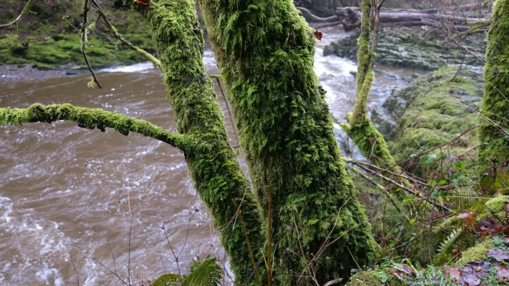
The photo at the top of this page is not South Santiam River.
It is a regional stand-in, honestly captioned but generic — we will not put a name to a river we cannot prove. Send us a photograph you took here and it replaces the stand-in, with your credit on it.
Pioneer badgeUnclaimed
Add a photo of this water
Landscape, not fish — the water itself. Reviewed by hand before it appears. The first one published here earns the Pioneer badge.
Fished this water? Add a photo
Reviewed by hand before it appears. Pick the water, not the spot — we never publish exact locations.
Access
Foster Dam and the Wiley Creek reach - the concentration point for summer steelhead.
Sweet Home bank access along Highway 20 - walk-in water below the dam.
Pleasant Valley Bridge - a common launch on the middle river.
Waterloo County Park - the reach this gauge reads, with a ramp and bank access.
McDowell Creek and the Lebanon accesses - lower-river float water.
Cascadia State Park - the freestone upper river above Foster Lake.
Sanderson Bridge near the North Santiam junction - the lowest public access.
Seasons
Spring: spring chinook below Foster Dam and the first summer steelhead entering the system.
Summer: peak steelhead months, with reliable cold releases and good wading below the dam.
Fall: low clear water, strong trout fishing and very little angling pressure.
Winter: high flows, hatchery and wild winter steelhead and a river that colors up after heavy rain.
From the water
No logged trips yet. Be the first to put this water on your map.
Log this water
Fished it or cleaned it? Log in or create a free account to log a trip with photos and earn the waterway badge.
Questions
What is the current flow on the South Santiam River?
As of Oct 24, 8:30 am, the USGS gauge SOUTH SANTIAM RIVER AT WATERLOO, OR reads 1,180 cfs, with water temperature 56.1 F. Conditions update every 15 minutes.
What species can you catch on the South Santiam River?
Anglers target Chinook Salmon, Cutthroat Trout, Largemouth Bass, Mountain Whitefish, Rainbow Trout, Smallmouth Bass, Steelhead on the South Santiam River in Oregon.
Are there fishing guides on the South Santiam River?
GuidedFloats lists 1 guide and outfitters on the South Santiam River. Claimed profiles accept booking requests; unclaimed profiles are built from public records and link to the business.
Where can you access the South Santiam River?
Foster Dam and the Wiley Creek reach - the concentration point for summer steelhead. Sweet Home bank access along Highway 20 - walk-in water below the dam. Pleasant Valley Bridge - a common launch on the middle river. Waterloo County Park - the reach this gauge reads, with a ramp and bank access. McDowell Creek and the Lebanon accesses - lower-river float water. Cascadia State Park - the freestone upper river above Foster Lake. Sanderson Bridge near the North Santiam junction - the lowest public access.
When is the best time to fish the South Santiam River?
Spring: spring chinook below Foster Dam and the first summer steelhead entering the system. Summer: peak steelhead months, with reliable cold releases and good wading below the dam. Fall: low clear water, strong trout fishing and very little angling pressure. Winter: high flows, hatchery and wild winter steelhead and a river that colors up after heavy rain.
Where are the fishing regulations for the South Santiam River?
Regulations change by season and section. Read the current rules on the Oregon agency site: https://myodfw.com/fishing/regulations