Fishes Sandy River
River · The western flank of Mount Hood, east of Portland, Oregon · Oregon
Sandy River Fishing Guides
A glacial Mount Hood river half an hour from Portland, restored to free-flowing condition in 2007 and now one of Oregon's best examples of a recovering wild salmon and steelhead system.
Map of the Sandy River
14 numbered points: 1 access point, 1 campsite, 1 bridge, 7 parks and conservation areas, 3 agency offices, 1 USGS gauge. Tap a marker for details. Reviewed Sep 15, 2026.
- Access / boat ramp (1)
- Campsite (1)
- Bridge crossing (1)
- Park / conservation area (7)
- Agency / conservation office (3)
- USGS gauge (1)
Map data © OpenStreetMap contributors. Points are curated from OpenStreetMap and state agency sources; confirm access and hours before you go.
Print it. Bag it. Bring it.Phones die, screens crack, and most of this water has no signal. Print this map, fold it into a zip-top bag or dry bag with your license, and you have a backup your electronics can’t give you. Every marker is numbered so you can say exactly where you are.
Open the printable mapAll 14 points on this map
| # | Point | Type | Lat, Lon | Notes |
|---|---|---|---|---|
| 1 | Zigzag Ranger Station Mt. Hood National Forest | Agency / conservation office | 45.34292, -121.94180 | Permits and river information for the upper Sandy and the Salmon River. |
| 2 | Hoodland County Park Clackamas County park | Park / conservation area | 45.34378, -121.94945 | |
| 3 | Wildwood Recreation Site BLM recreation site | Park / conservation area | 45.35543, -121.98676 | Fronts both the Sandy and the lower Salmon River; the fish-viewing boardwalk is on the Salmon side. |
| 4 | Barlow Wayside Park Clackamas County park | Park / conservation area | 45.38270, -122.03995 | Riverside wayside at Brightwood. |
| 5 | Sandy River-Cedar Creek Access Public river access | Access / boat ramp | 45.41227, -122.26273 | Bank access at the Cedar Creek confluence above Dodge Park. |
| 6 | Ed Latourette Park Riverside park | Park / conservation area | 45.43890, -122.25384 | |
| 7 | Dodge Park Portland Water Bureau park | Park / conservation area | 45.44446, -122.25068 | The upper put-in for the Dodge-to-Oxbow drift, at the Bull Run confluence. |
| 8 | USGS 14142500 - Sandy River below Bull Run USGS streamgage | USGS gauge | 45.44901, -122.24509 | The gauge floaters read before the Dodge Park run; it spikes hard in winter rain. |
| 9 | Oxbow Regional Park Campground Metro regional park | Campsite | 45.49585, -122.28874 | |
| 10 | Oxbow Regional Park Metro regional park | Park / conservation area | 45.49529, -122.29340 | The big park on the middle river; day use, camping and the standard take-out. |
| 11 | Oxbow Regional Park Welcome Center Metro regional park | Agency / conservation office | 45.50089, -122.30613 | Entry station and information for Oxbow. |
| 12 | Glenn Otto Park City of Troutdale | Park / conservation area | 45.53641, -122.37759 | The lower take-out and the busiest swimming beach on the river. |
| 13 | Historic Columbia River Highway Bridge Troutdale | Bridge crossing | 45.53840, -122.37672 | The old highway bridge at Troutdale, right above the last mile of river. |
| 14 | Gateway to the Gorge Visitor Center Troutdale visitor centre | Agency / conservation office | 45.54103, -122.38428 |
Guides on the Sandy River
Claimed profiles take booking requests. Unclaimed profiles are built from public records so the river is never empty; the guide can claim or remove one any time.
Order on this page: premium and outfitter plans first (labelled Premium placement), then claimed free profiles, then unclaimed — one published price, no bidding for position. How placement works
About the Sandy River
The Sandy comes off the Reid and Sandy glaciers on the west side of Mount Hood and runs about fifty-six miles to the Columbia at Troutdale, close enough to Portland that it functions as the city’s home river. The gauge below the Bull Run confluence watches four hundred and thirty-six square miles and reports discharge, stage and a live water temperature series. Both readings matter, because this is a glacial river and its clarity through the warm months tracks how hard the mountain is melting.
The defining event in the river’s modern history was the removal of Marmot Dam in 2007, which reopened the upper Sandy to anadromous fish for the first time in a century. The river has been a closely watched recovery story since, and wild winter steelhead and coho now use the upper basin again. Management has shifted steadily toward wild-fish protection, and regulations here change more often than on most Oregon rivers.
Fishing is primarily a winter steelhead affair, running from December into April, with coho in autumn and a spring chinook run lower down. The upper river above the old dam site holds resident trout and is fished on foot. The lower river is drift-boat water, launched from the Oxbow and Dabney park accesses, and a single day float from Oxbow to Dabney is probably the most-run guided trip on the system.
The Sandy is also heavily used for swimming and rafting in summer, when the gorge below Dodge Park draws a large local crowd. Its proximity to a metropolitan area is both the reason it is easy to fish and the reason it is rarely quiet. Winter is the season that resolves the tension, when the recreational crowds vanish entirely and the river belongs to a small number of steelhead anglers working the same handful of runs in the rain.
This water needs a real photo
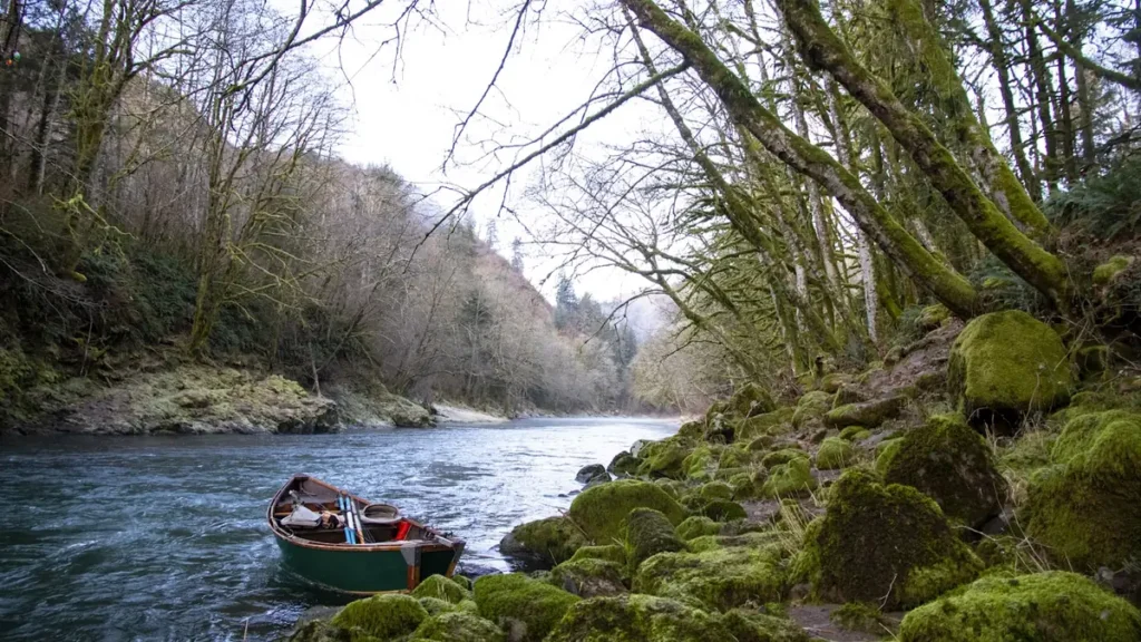
The photo at the top of this page is not Sandy River.
It is a regional stand-in, honestly captioned but generic — we will not put a name to a river we cannot prove. Send us a photograph you took here and it replaces the stand-in, with your credit on it.
Pioneer badgeUnclaimed
Add a photo of this water
Landscape, not fish — the water itself. Reviewed by hand before it appears. The first one published here earns the Pioneer badge.
Fished this water? Add a photo
Reviewed by hand before it appears. Pick the water, not the spot — we never publish exact locations.
Access
Oxbow Regional Park - the primary drift launch and the best-known access on the river.
Dabney State Recreation Area - the standard takeout for the classic lower float.
Dodge Park at the Bull Run confluence - upper drift access near the gauge.
Lewis and Clark State Recreation Site - lowest access, near the Columbia confluence.
Sandy River Delta - the mouth of the river and a large day-use area.
Marmot Dam site - the reach reopened by the 2007 removal, now walk-in water.
Zigzag and Brightwood along Highway 26 - upper river trout water on the mountain.
Seasons
Spring: the tail of the winter steelhead run through April, with flows still high and cold.
Summer: glacial melt clouds the river; heavy swimming and rafting use, and limited fishing.
Fall: coho enter the system and the first rains clear the glacial tint out.
Winter: the core steelhead season, fished hardest from December through March.
From the water
No logged trips yet. Be the first to put this water on your map.
Log this water
Fished it or cleaned it? Log in or create a free account to log a trip with photos and earn the waterway badge.
Questions
What is the current flow on the Sandy River?
As of Oct 24, 6:45 am, the USGS gauge SANDY RIVER BLW BULL RUN RIVER, NR BULL RUN, OR reads 266 cfs, with water temperature 47.3 F. Conditions update every 15 minutes.
What species can you catch on the Sandy River?
Anglers target Chinook Salmon, Coho Salmon, Cutthroat Trout, Mountain Whitefish, Rainbow Trout, Steelhead on the Sandy River in Oregon.
Are there fishing guides on the Sandy River?
GuidedFloats lists 1 guide and outfitters on the Sandy River. Claimed profiles accept booking requests; unclaimed profiles are built from public records and link to the business.
Where can you access the Sandy River?
Oxbow Regional Park - the primary drift launch and the best-known access on the river. Dabney State Recreation Area - the standard takeout for the classic lower float. Dodge Park at the Bull Run confluence - upper drift access near the gauge. Lewis and Clark State Recreation Site - lowest access, near the Columbia confluence. Sandy River Delta - the mouth of the river and a large day-use area. Marmot Dam site - the reach reopened by the 2007 removal, now walk-in water. Zigzag and Brightwood along Highway 26 - upper river trout water on the mountain.
When is the best time to fish the Sandy River?
Spring: the tail of the winter steelhead run through April, with flows still high and cold. Summer: glacial melt clouds the river; heavy swimming and rafting use, and limited fishing. Fall: coho enter the system and the first rains clear the glacial tint out. Winter: the core steelhead season, fished hardest from December through March.
Where are the fishing regulations for the Sandy River?
Regulations change by season and section. Read the current rules on the Oregon agency site: https://myodfw.com/fishing/regulations