Dungeness River Fishing Guides
A short, steep rain-shadow river on the northeast Olympic Peninsula, famous for its odd-year pink salmon run and closely managed for wild chinook recovery.
Guides on the Dungeness River
Claimed profiles take booking requests. Unclaimed profiles are built from public records so the river is never empty; the guide can claim or remove one any time.
No guides listed yet
Guide or outfit this water? Create your profile. Listing is free, the commission is 10% or 7% with a premium profile, and premium profiles list first on this water.
About the Dungeness River
The Dungeness is one of the steepest rivers of its length in the United States, dropping from the Buckhorn Wilderness to the Strait of Juan de Fuca in roughly thirty miles. It sits in the Olympic rain shadow, so the valley around Sequim is dry farmland while the headwaters are deep snow country, and the river runs on snowmelt far later into the summer than the coastal rivers on the other side of the range. That combination gives it genuinely cold water in August and a very short, very quick response to autumn rain.
The famous fishery is pink salmon. In odd-numbered years the Dungeness receives one of the largest pink runs on the strait, and August and early September bring crowds to the lower river and the beaches around Dungeness Spit. Coho follow in October. Chinook are present, but the wild run is listed under the Endangered Species Act and the fishery is tightly managed, so anglers should read the current rules rather than assume anything is open. Steelhead, bull trout and coastal cutthroat are all present, and bull trout in particular require careful handling and immediate release.
Access is the limiting factor here more than fish are. Much of the lower valley is private, the river has been actively restored with levee setbacks and side-channel construction over the past two decades, and several reaches are closed outright to protect spawning. Most guided effort works the estuary, the beaches and the lowest mile rather than the river itself. This gauge near Sequim reports discharge, stage and water temperature, which makes it unusually useful: the temperature series is a real help in judging when the late-summer pink fishery turns on and when the river is too warm to handle fish.
This water needs a real photo
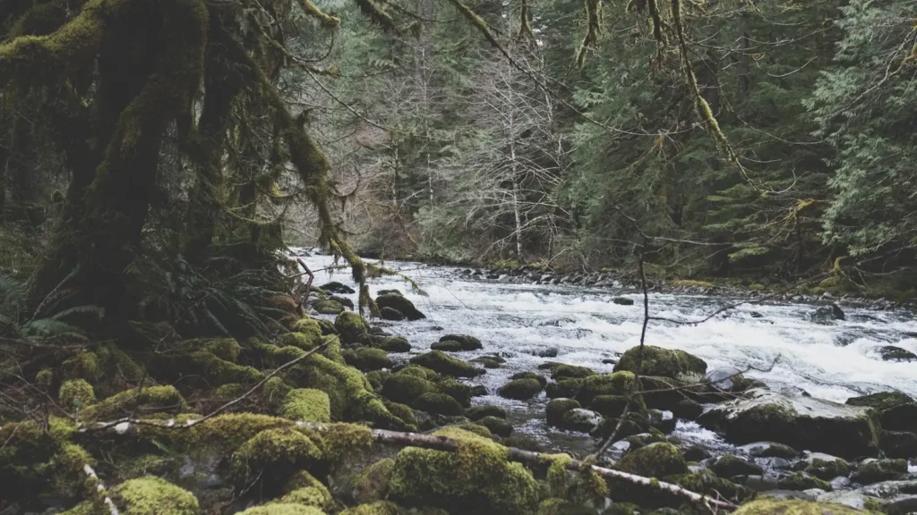
The photo at the top of this page is not Dungeness River.
It is a regional stand-in, honestly captioned but generic — we will not put a name to a river we cannot prove. Send us a photograph you took here and it replaces the stand-in, with your credit on it.
Add a photo of this water
Landscape, not fish — the water itself. Reviewed by hand before it appears. The first one published here earns the Pioneer badge.
Fished this water? Add a photo
Reviewed by hand before it appears. Pick the water, not the spot — we never publish exact locations.
Access
Dungeness River Nature Center in Sequim - parking, trail and the closest bank access to the gauge.
Railroad Bridge Park - developed river access with an interpretive trail.
Dungeness Recreation Area and Dungeness Spit - beach and estuary access for the salmon fishery.
Cline Spit County Park - small-boat launching into Dungeness Bay.
Highway 101 bridge pull-offs south of Sequim - limited shoulder access to the middle river.
Dungeness Forks Campground - Forest Service access at the Gray Wolf confluence.
Olympic National Forest Road 2870 - upper-river walk-in access above the forks.
Seasons
Spring: high snowmelt flows and largely closed water while wild chinook and steelhead spawn.
Summer: cold, clear snowmelt water and, in odd years, the pink salmon run building from August.
Fall: coho in October and the last of the pinks, with quick rain-driven rises and drops.
Winter: low guided effort, tightly restricted seasons, and steelhead present but largely protected.
From the water
No logged trips yet. Be the first to put this water on your map.
Log this water
Fished it or cleaned it? Log in or create a free account to log a trip with photos and earn the waterway badge.
Questions
What is the current flow on the Dungeness River?
As of Sep 17, 6:15 am, the USGS gauge DUNGENESS RIVER NEAR SEQUIM, WA reads 69 cfs, with water temperature 50.4 F. Conditions update every 15 minutes.
What species can you catch on the Dungeness River?
Anglers target Bull Trout, Chinook Salmon, Coastal Cutthroat Trout, Coho Salmon, Pink Salmon, Steelhead on the Dungeness River in Washington.
Where can you access the Dungeness River?
Dungeness River Nature Center in Sequim - parking, trail and the closest bank access to the gauge. Railroad Bridge Park - developed river access with an interpretive trail. Dungeness Recreation Area and Dungeness Spit - beach and estuary access for the salmon fishery. Cline Spit County Park - small-boat launching into Dungeness Bay. Highway 101 bridge pull-offs south of Sequim - limited shoulder access to the middle river. Dungeness Forks Campground - Forest Service access at the Gray Wolf confluence. Olympic National Forest Road 2870 - upper-river walk-in access above the forks.
When is the best time to fish the Dungeness River?
Spring: high snowmelt flows and largely closed water while wild chinook and steelhead spawn. Summer: cold, clear snowmelt water and, in odd years, the pink salmon run building from August. Fall: coho in October and the last of the pinks, with quick rain-driven rises and drops. Winter: low guided effort, tightly restricted seasons, and steelhead present but largely protected.
Where are the fishing regulations for the Dungeness River?
Regulations change by season and section. Read the current rules on the Washington agency site: https://wdfw.wa.gov/fishing/regulations