Brodhead Creek Fishing Guides
The Pocono stream where American fly fishing took root, still a strong wild and stocked brown trout fishery, gauged near Analomink above Stroudsburg.
Map of the Brodhead Creek
28 numbered points: 1 campsite, 2 bait & fly shops, 1 outfitter, 15 bridges, 8 parks and conservation areas, 1 USGS gauge. Tap a marker for details. Reviewed Sep 16, 2026.
- Campsite (1)
- Bait, tackle & fly shop (2)
- Outfitter / canoe rental (1)
- Bridge crossing (15)
- Park / conservation area (8)
- USGS gauge (1)
Print it. Bag it. Bring it.Phones die, screens crack, and most of this water has no signal. Print this map, fold it into a zip-top bag or dry bag with your license, and you have a backup your electronics can’t give you. Every marker is numbered so you can say exactly where you are.
Open the printable mapAll 28 points on this map
| # | Point | Type | Lat, Lon | Notes |
|---|---|---|---|---|
| 1 | Bridge Road bridge, Canadensis Township crossing at the head of the mapped creek | Bridge crossing | 41.18862, -75.25181 | First road crossing on Brodhead Creek proper, just below where the Middle Branch comes in at Canadensis. |
| 2 | Pasold Farm Nature Preserve Barrett Township | Park / conservation area | 41.18217, -75.25415 | Township preserve on the upper creek - walk-in bank access, no facilities. |
| 3 | Spruce Cabin Road bridge Upper creek above Mountainhome | Bridge crossing | 41.17854, -75.25049 | |
| 4 | Creek Road (PA 447) bridge — upper First of three PA 447 crossings | Bridge crossing | 41.17478, -75.24608 | Creek Road shadows the creek from here down to Analomink and crosses it three times. |
| 5 | Tall Timber Outfitters Outdoor shop, upper Brodhead valley | Bait, tackle & fly shop | 41.16726, -75.27385 | Tagged shop=outdoor in OSM, 2.1 km off the creek - call ahead if you need flies or live bait specifically. |
| 6 | Mill Creek Road bridge — upper Tertiary crossing below Mountainhome | Bridge crossing | 41.16455, -75.24032 | |
| 7 | Creek Road (PA 447) bridge — middle Second PA 447 crossing | Bridge crossing | 41.15488, -75.23284 | |
| 8 | Clarks Road bridge (T-533) Township crossing, Price Township | Bridge crossing | 41.14934, -75.23373 | |
| 9 | Creek Road (PA 447) bridge — lower Third and last PA 447 crossing above Analomink | Bridge crossing | 41.12790, -75.23077 | |
| 10 | Timber Hill Road bridge Residential crossing above the gauge | Bridge crossing | 41.11667, -75.22789 | |
| 11 | USGS 01440400 — Brodhead Creek Live discharge and water temperature | USGS gauge | 41.08481, -75.21463 | The gauge the water page reads for flow, temperature and the percentile against the historical median. Coordinate from the site roster; it falls 0.05 km off the chained centreline. |
| 12 | Paradise Trail (PA 191) bridge — upper State-route crossing at Analomink | Bridge crossing | 41.06798, -75.21962 | |
| 13 | ForEvergreen Nature Preserve Pocono Heritage Land Trust | Park / conservation area | 41.05911, -75.21697 | Conserved ground right on the creek below Analomink - the largest block of open bank on the middle reach. |
| 14 | Paradise Trail (PA 191/447) bridge — lower Where PA 191 and PA 447 run together | Bridge crossing | 41.05777, -75.21410 | |
| 15 | Cherry Lane Road bridge Tertiary crossing, Stroud Township | Bridge crossing | 41.05399, -75.22081 | |
| 16 | Cranberry Run Campground Private campground, 0.75 km off the water | Campsite | 41.03489, -75.21882 | The only campground close enough to the creek to be worth listing; the rest sit 2 km or more back. |
| 17 | North 5th Street (PA 191) bridge Stroudsburg approach | Bridge crossing | 41.03710, -75.20988 | |
| 18 | Pinebrook Park Municipal park on the creek | Park / conservation area | 41.03186, -75.20795 | |
| 19 | Brodhead Creek Park Municipal park, right on the water | Park / conservation area | 41.02384, -75.20546 | Named for the creek and sitting 30 m off it - the easiest bank access in the Stroudsburg stretch. |
| 20 | Mill Creek Road bridge — lower Crossing at the Mill Creek mouth | Bridge crossing | 41.01608, -75.19913 | |
| 21 | Stokes Mill Park Municipal park on the creek | Park / conservation area | 41.01458, -75.19788 | |
| 22 | Dansbury Community Park East Stroudsburg | Park / conservation area | 40.99714, -75.18664 | Creekside park with parking, above the borough crossings. |
| 23 | Main Street bridge (US 209 Business), Stroudsburg The Stroudsburg / East Stroudsburg crossing | Bridge crossing | 40.99121, -75.18694 | Four US 209 Business spans cross within 200 m on the one-way couplet; this is the one worth naming. |
| 24 | Dunkelberger’s Sport Outfitters Sporting goods, Stroudsburg | Bait, tackle & fly shop | 40.98541, -75.19270 | Long-standing Stroudsburg shop 0.8 km off the creek; tagged shop=outdoor in OSM. |
| 25 | Glen Park Municipal park, lower creek | Park / conservation area | 40.98235, -75.18213 | |
| 26 | River Road bridge Last road crossing above the mouth | Bridge crossing | 40.99327, -75.13797 | About 1 km above the Delaware River confluence at Minisink Hills. |
| 27 | Minisink Park Smithfield Township | Park / conservation area | 40.99030, -75.13742 | Last public ground on the creek before it joins the Delaware. |
| 28 | Edge of the Woods Outfitters Canoe and kayak rental, Delaware Water Gap | Outfitter / canoe rental | 40.98495, -75.14536 | Tagged shop=outdoor with amenity=boat_rental in OSM; re-typed here as an outfitter. Shuttles the Delaware as well as the lower Brodhead. |
Guides on the Brodhead Creek
Claimed profiles take booking requests. Unclaimed profiles are built from public records so the river is never empty; the guide can claim or remove one any time.
No guides listed yet
Guide or outfit this water? Create your profile. Listing is free, the commission is 10% or 7% with a premium profile, and premium profiles list first on this water.
About the Brodhead Creek
Brodhead Creek has a stronger claim than almost any water in the country to being where American fly fishing began. The Brodhead Club and the Henryville House drew anglers from New York and Philadelphia through the second half of the nineteenth century, and the pattern names, the tackle and much of the early literature of the sport in the United States came out of this valley. It remains a working trout stream rather than a museum piece, running about thirty miles from the Pocono plateau down through Stroudsburg to the Delaware.
The creek is freestone in character, gathering the Paradise, McMichaels and Pocono Creek tributaries as it drops. The reach near Analomink where this gauge sits is the classic water – pocket water, riffles and long pools under hemlock, wadeable through most of the season. Brown trout are the mainstay and there is a legitimate wild population in the upper reaches and tributaries alongside heavy state stocking. Rainbows are stocked and hold over in the deeper pools, brook trout occupy the coldest headwater feeders, and smallmouth bass take over the lower creek below Stroudsburg.
The stream has taken serious damage and made serious recoveries. Flooding in 1955 and again in 2004 and 2005 rearranged the channel substantially, and habitat work by local clubs and the Fish and Boat Commission has rebuilt much of what was lost. Summer thermal stress is the current concern in the lower reaches, so anglers should fish the upper water in hot weather and release fish quickly. This gauge reports discharge, stage, water temperature and specific conductance, which makes it genuinely useful for deciding whether the lower creek is simply too warm to fish responsibly on a given afternoon.
This water needs a real photo
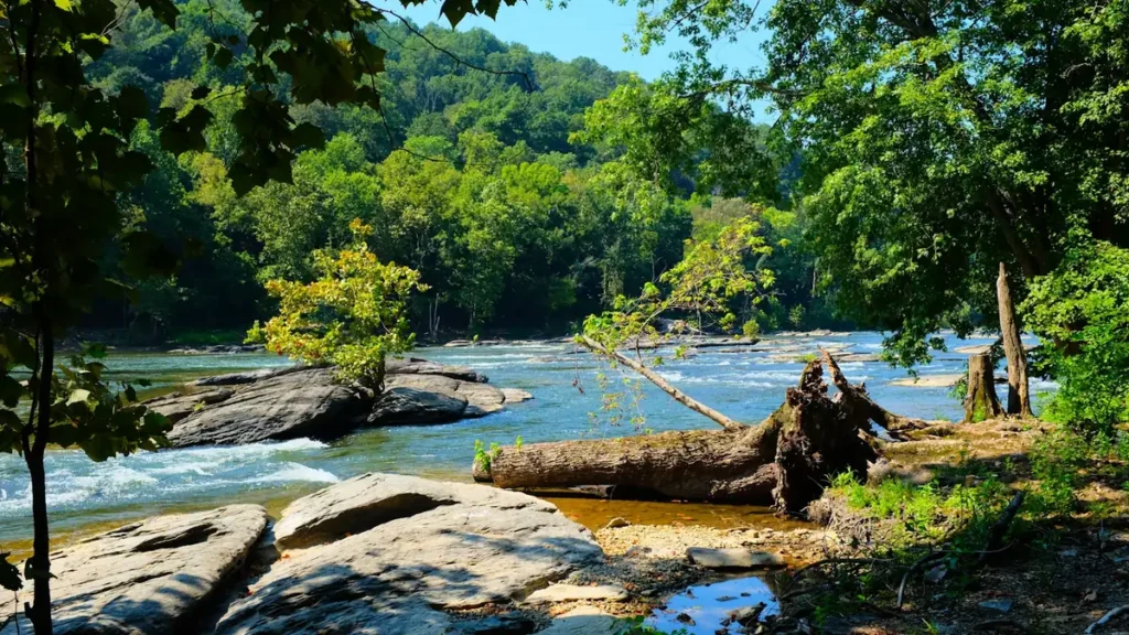
The photo at the top of this page is not Brodhead Creek.
It is a regional stand-in, honestly captioned but generic — we will not put a name to a river we cannot prove. Send us a photograph you took here and it replaces the stand-in, with your credit on it.
Add a photo of this water
Landscape, not fish — the water itself. Reviewed by hand before it appears. The first one published here earns the Pioneer badge.
Fished this water? Add a photo
Reviewed by hand before it appears. Pick the water, not the spot — we never publish exact locations.
Access
Analomink bridge on Route 191 - the access at the gauge itself, with roadside parking.
Stokes Mill Road pull-offs - middle-creek wadeable access above Stroudsburg.
Glen Brook and the Stroudsburg borough reach - in-town bank access and parking.
Paradise Creek confluence near Henryville - tributary and mainstem access on stocked water.
McMichaels Creek confluence in Stroudsburg - lower-creek access with warmer summer water.
Delaware Water Gap National Recreation Area at the mouth - access to the lowest reach and the Delaware.
Route 447 crossings above Canadensis - upper-valley access to the coldest water in the system.
Seasons
Spring: stocking, high flows and the strongest hatches of the year through April and May.
Summer: fish the upper reaches early and late; the lower creek warms and should be left alone in a heat wave.
Fall: cooling water, wild brown trout on the move and very good streamer fishing with light pressure.
Winter: low and clear, with midge fishing in the deeper pools for anglers who dress for it.
From the water
No logged trips yet. Be the first to put this water on your map.
Log this water
Fished it or cleaned it? Log in or create a free account to log a trip with photos and earn the waterway badge.
Questions
What is the current flow on the Brodhead Creek?
As of Sep 17, 6:15 am, the USGS gauge Brodhead Creek near Analomink, PA reads 24 cfs, with water temperature 62.6 F. Conditions update every 15 minutes.
What species can you catch on the Brodhead Creek?
Anglers target Brook Trout, Brown Trout, Rainbow Trout, Smallmouth Bass on the Brodhead Creek in Pennsylvania.
Where can you access the Brodhead Creek?
Analomink bridge on Route 191 - the access at the gauge itself, with roadside parking. Stokes Mill Road pull-offs - middle-creek wadeable access above Stroudsburg. Glen Brook and the Stroudsburg borough reach - in-town bank access and parking. Paradise Creek confluence near Henryville - tributary and mainstem access on stocked water. McMichaels Creek confluence in Stroudsburg - lower-creek access with warmer summer water. Delaware Water Gap National Recreation Area at the mouth - access to the lowest reach and the Delaware. Route 447 crossings above Canadensis - upper-valley access to the cold...
When is the best time to fish the Brodhead Creek?
Spring: stocking, high flows and the strongest hatches of the year through April and May. Summer: fish the upper reaches early and late; the lower creek warms and should be left alone in a heat wave. Fall: cooling water, wild brown trout on the move and very good streamer fishing with light pressure. Winter: low and clear, with midge fishing in the deeper pools for anglers who dress for it.
Where are the fishing regulations for the Brodhead Creek?
Regulations change by season and section. Read the current rules on the Pennsylvania agency site: https://www.pa.gov/agencies/fishandboat/fishing/regulations