Hat Creek Fishing Guides
California's original wild trout water and one of the first catch-and-release spring creeks in the country, with glassy flats, heavy hatches and famously selective rainbows.
Map of the Hat Creek
10 numbered points: 6 campsites, 1 park or conservation area, 1 regulation section limit, 1 hazard, 1 USGS gauge. Tap a marker for details. Reviewed Sep 28, 2026.
- Campsite (6)
- Park / conservation area (1)
- Regulation section limit (1)
- Dam / hazard (1)
- USGS gauge (1)
Print it. Bag it. Bring it.Phones die, screens crack, and most of this water has no signal. Print this map, fold it into a zip-top bag or dry bag with your license, and you have a backup your electronics can’t give you. Every marker is numbered so you can say exactly where you are.
Open the printable mapAll 10 points on this map
| # | Point | Type | Lat, Lon | Notes |
|---|---|---|---|---|
| 1 | Big Pine Campground Public campground | Campsite | 40.63327, -121.46657 | Hat Creek Recreation Area, Lassen National Forest; upper Hat Creek. |
| 2 | Hat Creek Campground Public campground | Campsite | 40.66683, -121.44893 | Hat Creek Recreation Area, Lassen National Forest. |
| 3 | Cave Campground Public campground | Campsite | 40.68430, -121.42376 | Hat Creek Recreation Area, near Subway Cave. |
| 4 | USGS streamgage – Hat Creek USGS streamgage | USGS gauge | 40.68911, -121.42281 | Real-time flow gauge on Hat Creek. |
| 5 | Rocky Campground Public campground | Campsite | 40.72579, -121.42883 | Hat Creek Recreation Area, Lassen National Forest. |
| 6 | Bridge Campground Public campground | Campsite | 40.73011, -121.43808 | Hat Creek Recreation Area, on Hat Creek. |
| 7 | Honn Campground Public campground | Campsite | 40.77925, -121.50300 | Lassen National Forest, lower Hat Creek. |
| 8 | Hat Creek Powerhouse 2 Diversion Dam Diversion dam | Dam / hazard | 40.94988, -121.54609 | PG&E Hat Creek Powerhouse 2 diversion; marks the top of the Wild Trout Area. |
| 9 | Hat Creek Wild Trout Area Special-regulation reach | Regulation section limit | 40.96900, -121.56100 | Wild Trout Area, Powerhouse 2 downstream to Lake Britton (CDFW). |
| 10 | Hat Creek Park Day-use park | Park / conservation area | 40.97703, -121.55785 | Near the Lake Britton confluence. |
Guides on the Hat Creek
Claimed profiles take booking requests. Unclaimed profiles are built from public records so the river is never empty; the guide can claim or remove one any time.
Order on this page: premium and outfitter plans first (labelled Premium placement), then claimed free profiles, then unclaimed — one published price, no bidding for position. How placement works
About the Hat Creek
Hat Creek occupies a particular place in American fly fishing. In 1968 the three and a half miles running from the Powerhouse 2 riffle down to Lake Britton were designated California’s first Wild Trout water, and the management ideas tested here spread across the western states. The creek rises in the volcanic highlands below Mount Lassen, gathers cold spring flow that runs at a nearly constant temperature year-round, and moves north in a broad, weedy, glass-smooth channel toward the Pit River.
The famous water is the Wild Trout section, and it is a true spring creek rather than a freestone. Flow barely varies. Weed beds grow thick through the summer and the current tongues between them are where fish hold. Rainbows here have seen every pattern in the catalogue and they feed with the deliberate, unhurried confidence of trout that are rarely surprised. Long fine leaders, drag-free drifts and a willingness to watch a fish for twenty minutes before casting are what separate good days from blank ones. There are browns in the mix, and they run larger and show themselves less.
Upstream of the Wild Trout water, the reach through the Hat Creek Park and Cassel area is a different and much friendlier fishery, with faster pocket water, planted and holdover rainbows and easier wading. Guides work both. This gauge sits on the upper creek near the town of Hat Creek and reports discharge, stage and water temperature. The temperature reading is the useful one on a spring creek, because it confirms the constant cold that makes the fishery work and flags the rare summer when it slips. Hatches are the calendar here: pale morning duns, the green drake in early summer and the evening caddis.
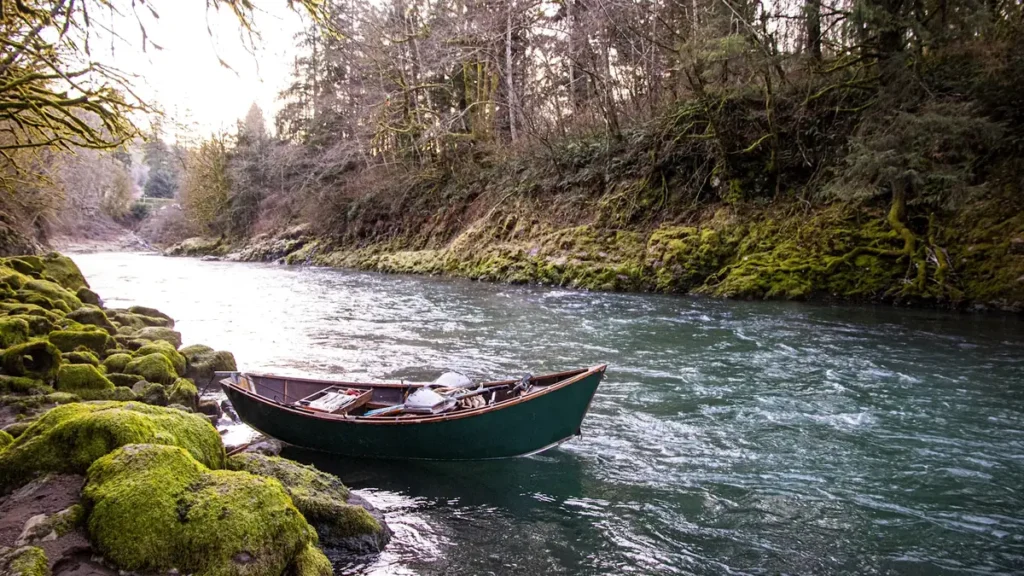
This water needs a real photo
The photo at the top of this page is not Hat Creek.
It is a regional stand-in, honestly captioned but generic — we will not put a name to a river we cannot prove. Send us a photograph you took here and it replaces the stand-in, with your credit on it.
Add a photo of this water
Landscape, not fish — the water itself. Reviewed by hand before it appears. The first one published here earns the Pioneer badge.
Fished this water? Add a photo
Reviewed by hand before it appears. Pick the water, not the spot — we never publish exact locations.
Access
Powerhouse 2 riffle - the top of the Wild Trout section and the traditional starting point.
Hat Creek Park off Highway 299 - easy bank access on the upper creek.
Cassel Bridge and the Cassel campground - the year-round open water above the Wild Trout reach.
Baum Lake and the outlet channel - still water and the short connecting stretch.
Carbon Bridge - mid-section access to the Wild Trout flats.
Highway 299 crossing near Cassel - roadside parking and walk-in water.
Lower Hat Creek near the Pit River confluence - the last public access before private ground.
Seasons
Spring: opening-week fishing on the Wild Trout water, with strong afternoon mayfly activity.
Summer: green drakes into June, then technical flat water, weed beds and an evening caddis game.
Fall: October caddis, cooling water and fewer anglers on the famous flats.
Winter: the Wild Trout section is closed - fish the year-round water above Cassel instead.
From the water
No logged trips yet. Be the first to put this water on your map.
Log this water
Fished it or cleaned it? Log in or create a free account to log a trip with photos and earn the waterway badge.
Questions
What is the current flow on the Hat Creek?
As of Nov 2, 7:00 am, the USGS gauge HAT C NR HAT CREEK CA reads 110 cfs, with water temperature 43.9 F. Conditions update every 15 minutes.
What species can you catch on the Hat Creek?
Anglers target Brook Trout, Brown Trout, Rainbow Trout on the Hat Creek in California.
Are there fishing guides on the Hat Creek?
GuidedFloats lists 5 guides and outfitters on the Hat Creek. Claimed profiles accept booking requests; unclaimed profiles are built from public records and link to the business.
Where can you access the Hat Creek?
Powerhouse 2 riffle - the top of the Wild Trout section and the traditional starting point. Hat Creek Park off Highway 299 - easy bank access on the upper creek. Cassel Bridge and the Cassel campground - the year-round open water above the Wild Trout reach. Baum Lake and the outlet channel - still water and the short connecting stretch. Carbon Bridge - mid-section access to the Wild Trout flats. Highway 299 crossing near Cassel - roadside parking and walk-in water. Lower Hat Creek near the Pit River confluence - the last public access before private ground.
When is the best time to fish the Hat Creek?
Spring: opening-week fishing on the Wild Trout water, with strong afternoon mayfly activity. Summer: green drakes into June, then technical flat water, weed beds and an evening caddis game. Fall: October caddis, cooling water and fewer anglers on the famous flats. Winter: the Wild Trout section is closed - fish the year-round water above Cassel instead.
Where are the fishing regulations for the Hat Creek?
Regulations change by season and section. Read the current rules on the California agency site: https://wildlife.ca.gov/Fishing/Inland/Regulations