Williamson River Fishing Guides
A spring-fed south-central Oregon river famous for the enormous Klamath redband rainbows that run up out of Upper Klamath Lake each summer to find cold water.
Map of the Williamson River
10 numbered points: 2 access points, 3 campsites, 2 parks and conservation areas, 1 agency office, 1 hazard, 1 USGS gauge. Tap a marker for details. Reviewed Sep 15, 2026.
- Access / boat ramp (2)
- Campsite (3)
- Park / conservation area (2)
- Agency / conservation office (1)
- Dam / hazard (1)
- USGS gauge (1)
Print it. Bag it. Bring it.Phones die, screens crack, and most of this water has no signal. Print this map, fold it into a zip-top bag or dry bag with your license, and you have a backup your electronics can’t give you. Every marker is numbered so you can say exactly where you are.
Open the printable mapAll 10 points on this map
| # | Point | Type | Lat, Lon | Notes |
|---|---|---|---|---|
| 1 | USGS gauge 11493500 - Williamson River near Klamath Agency Live stage and discharge | USGS gauge | 42.73993, -121.83452 | The gauge this water page reads from. |
| 2 | Root Beer Falls | Dam / hazard | 42.69993, -121.82025 | Named drop on the canyon reach above Collier. |
| 3 | Williamson River Access Park Fremont-Winema National Forest | Access / boat ramp | 42.65875, -121.85196 | Day-use access on the west bank above Collier. |
| 4 | Williamson River Campground Fremont-Winema National Forest | Campsite | 42.65951, -121.85374 | Forest Service campground at the access. |
| 5 | Collier Memorial Campground Collier Memorial State Park | Campsite | 42.64147, -121.87496 | State park campground at the Spring Creek confluence. |
| 6 | Collier Memorial State Park Oregon State Parks | Park / conservation area | 42.64439, -121.87880 | Day-use park and logging museum where Spring Creek enters the Williamson. |
| 7 | Chiloquin City Park Chiloquin | Park / conservation area | 42.57428, -121.86260 | In-town park on the river bank. |
| 8 | Boat ramp at Chiloquin Unnamed in OpenStreetMap | Access / boat ramp | 42.57054, -121.87903 | Ramp on the town reach below the Sprague confluence; OSM maps it but does not name it. |
| 9 | Chiloquin Ranger Station Fremont-Winema National Forest | Agency / conservation office | 42.57455, -121.88415 | District office in Chiloquin, the reach's information point. |
| 10 | Water Wheel Campground Lower river | Campsite | 42.52467, -121.88718 | Riverside campground on the lowest mapped reach above Klamath Lake. |
Guides on the Williamson River
Claimed profiles take booking requests. Unclaimed profiles are built from public records so the river is never empty; the guide can claim or remove one any time.
Order on this page: premium and outfitter plans first (labelled Premium placement), then claimed free profiles, then unclaimed — one published price, no bidding for position. How placement works
About the Williamson River
The Williamson is a river people fish for one reason, and it is a very good reason. Klamath redband rainbows live in Upper Klamath Lake, grow to extraordinary sizes on the lake’s dense food supply, and then run up the Williamson in summer when the lake warms and its oxygen crashes. Fish of five to ten pounds are the target rather than the exception. They are broad, deep, hard-fighting trout, and they are in a river small enough to cover with a single cast.
The river itself is unusual. It rises in the Klamath Marsh, disappears into porous volcanic ground, and re-emerges downstream from a series of large cold springs, so the lower river below Kirk runs cold and stable even in a hot August. Below Chiloquin it winds through meadow and pine in deep slow bends with undercut banks and heavy weed. Fish hold tight to structure and to the spring inflows. Presentation is slow and deliberate: big nymphs, leeches and streamers worked close to cover, and a dry-fly game during the hatch. Much of the good water is fished from a drift boat or a small pram.
Access is the real constraint and it needs planning. Long stretches of the lower Williamson run through Klamath Tribes land and private ranch ground, and a great deal of the best water is legally reachable only by boat or through an outfitter with permission. This gauge sits near Klamath Agency and reports discharge and stage but no water temperature, which is a genuine limitation on a fishery driven entirely by the temperature difference between the river and the lake. Judge the run by the calendar and by local reports rather than by the gauge alone.
This water needs a real photo
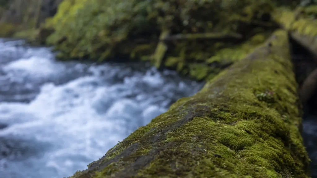
The photo at the top of this page is not Williamson River.
It is a regional stand-in, honestly captioned but generic — we will not put a name to a river we cannot prove. Send us a photograph you took here and it replaces the stand-in, with your credit on it.
Add a photo of this water
Landscape, not fish — the water itself. Reviewed by hand before it appears. The first one published here earns the Pioneer badge.
Fished this water? Add a photo
Reviewed by hand before it appears. Pick the water, not the spot — we never publish exact locations.
Access
Collier Memorial State Park - public bank access on the upper river at the Spring Creek junction.
Klamath Agency and the Highway 97 crossing - the reach this gauge reads.
Chiloquin bridge - the main town access and a common launch.
Williamson River Campground - Forest Service access above Chiloquin.
Blue Hole and the lower meadow bends - boat-only water through private ground.
The Upper Klamath Lake mouth - drift-boat access to the lowest river.
Spring Creek confluence - cold spring inflow and a reliable summer holding area.
Seasons
Spring: quiet resident trout fishing before the lake fish move, with the river low and clear.
Summer: the run - big redbands push up from Upper Klamath Lake as the lake warms, from about June.
Fall: fish still in the river, cooling water, strong streamer fishing and the fewest boats.
Winter: cold and largely unfished, with limited access and most of the fishery back in the lake.
From the water
No logged trips yet. Be the first to put this water on your map.
Log this water
Fished it or cleaned it? Log in or create a free account to log a trip with photos and earn the waterway badge.
Questions
What species can you catch on the Williamson River?
Anglers target Brook Trout, Brown Trout, Rainbow Trout, Redband Rainbow Trout on the Williamson River in Oregon.
Are there fishing guides on the Williamson River?
GuidedFloats lists 3 guides and outfitters on the Williamson River. Claimed profiles accept booking requests; unclaimed profiles are built from public records and link to the business.
Where can you access the Williamson River?
Collier Memorial State Park - public bank access on the upper river at the Spring Creek junction. Klamath Agency and the Highway 97 crossing - the reach this gauge reads. Chiloquin bridge - the main town access and a common launch. Williamson River Campground - Forest Service access above Chiloquin. Blue Hole and the lower meadow bends - boat-only water through private ground. The Upper Klamath Lake mouth - drift-boat access to the lowest river. Spring Creek confluence - cold spring inflow and a reliable summer holding area.
When is the best time to fish the Williamson River?
Spring: quiet resident trout fishing before the lake fish move, with the river low and clear. Summer: the run - big redbands push up from Upper Klamath Lake as the lake warms, from about June. Fall: fish still in the river, cooling water, strong streamer fishing and the fewest boats. Winter: cold and largely unfished, with limited access and most of the fishery back in the lake.
Where are the fishing regulations for the Williamson River?
Regulations change by season and section. Read the current rules on the Oregon agency site: https://myodfw.com/fishing/regulations