Sandusky River Fishing Guides
Ohio's second great walleye run river, opened to far more spawning habitat by the 2020 removal of the Ballville Dam, with strong smallmouth fishing the rest of the year.
Map of the Sandusky River
52 numbered points: 3 access points, 36 bridges, 9 parks and conservation areas, 1 USGS gauge, 3 points of interest. Tap a marker for details. Reviewed Oct 23, 2026.
- Access / boat ramp (3)
- Bridge crossing (36)
- Park / conservation area (9)
- USGS gauge (1)
- Point of interest (3)
Print it. Bag it. Bring it.Phones die, screens crack, and most of this water has no signal. Print this map, fold it into a zip-top bag or dry bag with your license, and you have a backup your electronics can’t give you. Every marker is numbered so you can say exactly where you are.
Open the printable mapAll 52 points on this map
| # | Point | Type | Lat, Lon | Notes |
|---|---|---|---|---|
| 1 | State Route 598 SR 598 crossing | Bridge crossing | 40.79461, -82.78824 | |
| 2 | Lincoln Highway US 30 crossing | Bridge crossing | 40.80698, -82.81089 | Lincoln Highway bridge. |
| 3 | Bucyrus Reservoir Number One Dam Water-supply dam | Point of interest | 40.82729, -82.93811 | Impoundment dam on the upper river above Bucyrus. |
| 4 | Bucyrus Bypass Bypass crossing at Bucyrus | Bridge crossing | 40.82262, -82.94658 | |
| 5 | NS Sandusky District Rail crossing | Bridge crossing | 40.81190, -82.96524 | NS Sandusky District. |
| 6 | North Sandusky Avenue Road crossing, Bucyrus | Bridge crossing | 40.81291, -82.97565 | |
| 7 | West Mansfield Street Road crossing, Bucyrus | Bridge crossing | 40.80900, -82.98193 | |
| 8 | Friendship Bridge Footbridge, Bucyrus | Bridge crossing | 40.80278, -82.99224 | |
| 9 | Paul B Sears Woods State Nature Preserve State nature preserve | Park / conservation area | 40.78250, -83.04234 | ODNR preserve on the upper river. |
| 10 | Carmean Woods State Nature Preserve State nature preserve | Park / conservation area | 40.77714, -83.03816 | ODNR preserve beside Paul B Sears Woods. |
| 11 | Mount Zion Road Road crossing | Bridge crossing | 40.77567, -83.05315 | Mid-reach crossing in an otherwise roadless 20 km stretch. |
| 12 | SR 231 SR 231 crossing | Bridge crossing | 40.74723, -83.13078 | |
| 13 | Swartz Bridge Named bridge | Bridge crossing | 40.77078, -83.16902 | Swartz Bridge. |
| 14 | US 23 US 23 crossing | Bridge crossing | 40.78822, -83.24211 | |
| 15 | High Street Road crossing, Upper Sandusky | Bridge crossing | 40.81412, -83.27503 | |
| 16 | East Wyandot Avenue Road crossing, Upper Sandusky | Bridge crossing | 40.82750, -83.27089 | |
| 17 | US 23 / US 30 US 23 and US 30 crossing | Bridge crossing | 40.84965, -83.26005 | |
| 18 | Indian Mill Park Historic mill site | Park / conservation area | 40.86158, -83.25300 | Indian Mill, a preserved gristmill on the river at Upper Sandusky. |
| 19 | Tarhee Trail Road crossing | Bridge crossing | 40.89377, -83.23409 | |
| 20 | Parker Bridge Named bridge | Bridge crossing | 40.90298, -83.24452 | Parker Bridge. |
| 21 | SR 103 SR 103 crossing | Bridge crossing | 40.94909, -83.25810 | |
| 22 | Carey Subdivision Rail crossing | Bridge crossing | 40.95868, -83.26895 | Carey Subdivision. |
| 23 | Mexico Road Road crossing | Bridge crossing | 40.98880, -83.20366 | |
| 24 | Hecks Bridge Scenic River Access State scenic river access | Access / boat ramp | 41.00829, -83.19215 | ODNR scenic-river access at Hecks Bridge. |
| 25 | Howard Collier State Nature Preserve Ohio Department of Natural Resources | Park / conservation area | 41.00575, -83.20189 | State nature preserve with river frontage. |
| 26 | US 224 US 224 crossing | Bridge crossing | 41.09574, -83.19901 | |
| 27 | Ella Street Low Head Dam Low-head dam, Tiffin | Point of interest | 41.10059, -83.18831 | Low-head dam: a drowning hazard, portage well upstream. |
| 28 | Ella Street Road crossing at the Ella Street dam | Bridge crossing | 41.10406, -83.18640 | |
| 29 | West Market Street Road crossing, Tiffin | Bridge crossing | 41.11425, -83.18014 | |
| 30 | West Perry Street Road crossing, Tiffin | Bridge crossing | 41.11553, -83.17990 | |
| 31 | South Washington Street Road crossing, Tiffin | Bridge crossing | 41.11766, -83.17705 | |
| 32 | CSX Willard Subdivision Rail crossing | Bridge crossing | 41.11896, -83.17476 | CSX Willard Subdivision. |
| 33 | Tiffin Low Head Dam Low-head dam, Tiffin | Point of interest | 41.12340, -83.17199 | Second low-head dam in Tiffin; portage, do not run. |
| 34 | Huss Street Road crossing, Tiffin | Bridge crossing | 41.13103, -83.16607 | |
| 35 | Abbott's Bridge Scenic River Access State scenic river access | Access / boat ramp | 41.21028, -83.15237 | ODNR scenic-river access at Abbott's Bridge. |
| 36 | Steyer Nature Preserve Riverside nature preserve | Park / conservation area | 41.20423, -83.13849 | Preserve on the river below Tiffin. |
| 37 | Sugar Creek Wildlife Area Ohio Department of Natural Resources | Park / conservation area | 41.19789, -83.12553 | State wildlife area in the Sugar Creek corridor. |
| 38 | Knobby's Prairie Wildlife Area Ohio Department of Natural Resources | Park / conservation area | 41.19888, -83.11576 | State wildlife area on the lower-middle river. |
| 39 | Wolf Creek Park County park | Park / conservation area | 41.26540, -83.16627 | Park at the Wolf Creek mouth with river frontage. |
| 40 | Sandusky Scenic River State Access Area State scenic river access | Access / boat ramp | 41.27749, -83.16773 | ODNR scenic-river state access area. |
| 41 | SR 53 SR 53 crossing | Bridge crossing | 41.28006, -83.16884 | |
| 42 | West Hurdic Road Road crossing | Bridge crossing | 41.29159, -83.16415 | |
| 43 | Rice Road Road crossing | Bridge crossing | 41.30839, -83.15790 | |
| 44 | Chudzinski Johannsen Conservancy Park Conservancy park | Park / conservation area | 41.31027, -83.15223 | Conservancy park on the lower river above Fremont. |
| 45 | Tiffin Road Road crossing | Bridge crossing | 41.32699, -83.13044 | |
| 46 | North Coast Inland Trail Rail-trail crossing | Bridge crossing | 41.33954, -83.11132 | North Coast Inland Trail. |
| 47 | NS Toledo District Rail crossing | Bridge crossing | 41.34122, -83.10986 | NS Toledo District. |
| 48 | Hayes Avenue Road crossing, Fremont | Bridge crossing | 41.34161, -83.10937 | |
| 49 | West State Street Road crossing, Fremont | Bridge crossing | 41.34693, -83.11197 | |
| 50 | Bypass Highway Bypass crossing, Fremont | Bridge crossing | 41.36716, -83.10672 | |
| 51 | Ohio Turnpike Ohio Turnpike crossing | Bridge crossing | 41.39776, -83.10024 | |
| 52 | USGS 04198000 - Sandusky River near Fremont USGS streamgauge | USGS gauge | 41.30783, -83.15881 | Live stage and discharge for this river. |
Guides on the Sandusky River
Claimed profiles take booking requests. Unclaimed profiles are built from public records so the river is never empty; the guide can claim or remove one any time.
No guides listed yet
Guide or outfit this water? Create your profile. Listing is free, the commission is 10% or 7% with a premium profile, and premium profiles list first on this water.
About the Sandusky River
The Sandusky is the Maumee’s quieter neighbor and it runs the second largest walleye spawning migration in Ohio. Fish move out of Sandusky Bay and up through Fremont each spring to spawn on the river’s limestone riffles, and the fishery has changed substantially in recent years. The Ballville Dam at Fremont, which blocked the run for more than a century, was removed in 2018 and the channel reopened, giving walleye access to many miles of upstream gravel that had been unavailable since before anyone alive had fished it.
The result is a run that is still finding its shape. Fish now push well above Fremont, spreading angling effort along a longer stretch of river and reducing the shoulder-to-shoulder crowding that defines the Maumee. Tactics are the same – weighted jigs worked across the current by wading anglers – and Ohio applies the same special run regulations, including single-hook rules and enforced anti-snagging provisions. The run is generally a week or two behind the Maumee, which lets anglers fish both in a single spring.
Outside the run the Sandusky is an underrated smallmouth river. The riffle-and-pool water between Tiffin and Fremont fishes well from a kayak or on foot through the summer, and there are good channel and flathead catfish, white bass and drum. This gauge sits near Fremont at the heart of the run water and reports discharge, stage and water temperature. Both matter: the run keys to warming water, and spring discharge determines whether the riffles can be waded safely. The lower river below Fremont is slow and bay-influenced and fishes more like Lake Erie than like a river, which makes it a better boat trip than a wading one. Anglers wanting to wade should stay upstream of the old dam site.
This water needs a real photo
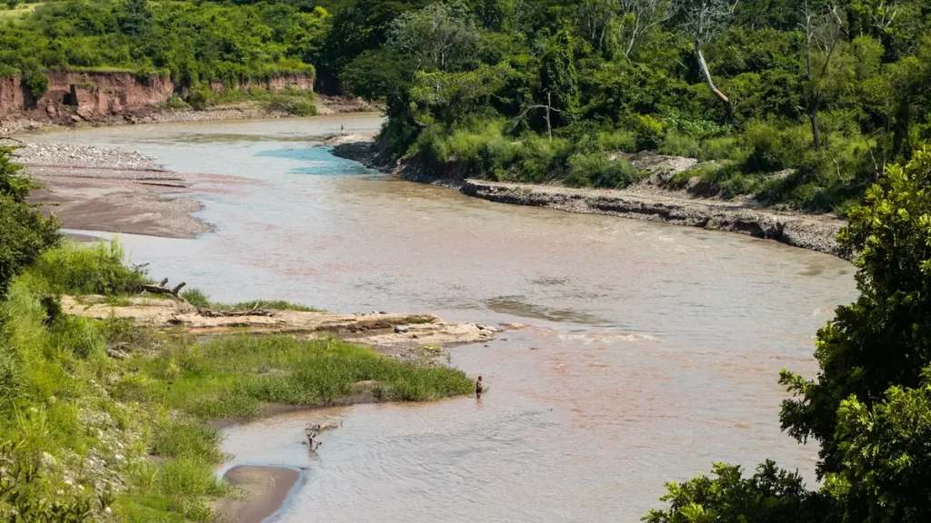
The photo at the top of this page is not Sandusky River.
It is a regional stand-in, honestly captioned but generic — we will not put a name to a river we cannot prove. Send us a photograph you took here and it replaces the stand-in, with your credit on it.
Add a photo of this water
Landscape, not fish — the water itself. Reviewed by hand before it appears. The first one published here earns the Pioneer badge.
Fished this water? Add a photo
Reviewed by hand before it appears. Pick the water, not the spot — we never publish exact locations.
Access
Fremont and the former Ballville Dam site - the center of the spring walleye run.
Rodger Young Park in Fremont - bank and wading access on the run water.
River Cliff Park - walk-in access near the reach this gauge reads.
Tiffin and the Sandusky River Walk - middle-river bank access and summer smallmouth water.
Old Fort and the Highway 12 crossings - riffle water above Fremont, newly opened to the run.
Upper Sandusky and Indian Mill - upper-river wading and kayak access.
Sandusky Bay and the river mouth - open-water launching toward Lake Erie.
Seasons
Spring: the walleye run through late March and April, running a week or two behind the Maumee.
Summer: good smallmouth and catfish fishing on the riffle water between Tiffin and Fremont.
Fall: falling clear water, strong smallmouth and light pressure through the whole river.
Winter: cold, high and mostly unfished until the spring run begins to build.
From the water
No logged trips yet. Be the first to put this water on your map.
Log this water
Fished it or cleaned it? Log in or create a free account to log a trip with photos and earn the waterway badge.
Questions
What is the current flow on the Sandusky River?
As of Nov 2, 7:30 am, the USGS gauge Sandusky River near Fremont OH reads 56 cfs, with water temperature 57.6 F. Conditions update every 15 minutes.
What species can you catch on the Sandusky River?
Anglers target Channel Catfish, Flathead Catfish, Freshwater Drum, Largemouth Bass, Northern Pike, Smallmouth Bass, Walleye, White Bass on the Sandusky River in Ohio.
Where can you access the Sandusky River?
Fremont and the former Ballville Dam site - the center of the spring walleye run. Rodger Young Park in Fremont - bank and wading access on the run water. River Cliff Park - walk-in access near the reach this gauge reads. Tiffin and the Sandusky River Walk - middle-river bank access and summer smallmouth water. Old Fort and the Highway 12 crossings - riffle water above Fremont, newly opened to the run. Upper Sandusky and Indian Mill - upper-river wading and kayak access. Sandusky Bay and the river mouth - open-water launching toward Lake Erie.
When is the best time to fish the Sandusky River?
Spring: the walleye run through late March and April, running a week or two behind the Maumee. Summer: good smallmouth and catfish fishing on the riffle water between Tiffin and Fremont. Fall: falling clear water, strong smallmouth and light pressure through the whole river. Winter: cold, high and mostly unfished until the spring run begins to build.
Where are the fishing regulations for the Sandusky River?
Regulations change by season and section. Read the current rules on the Ohio agency site: https://ohiodnr.gov/buy-and-apply/hunting-fishing-boating/fishing-resources/fishing-regulations