South Fork Spring River Fishing Guides
An Ozark foothill stream of gravel bars and bluff pools that joins the Spring River below Hardy, holding smallmouth through its length and trout where the cold water reaches.
Map of the South Fork Spring River
12 numbered points: 7 access points, 2 bridges, 1 park or conservation area, 1 USGS gauge, 1 point of interest. Tap a marker for details. Reviewed Sep 16, 2026.
- Access / boat ramp (7)
- Bridge crossing (2)
- Park / conservation area (1)
- USGS gauge (1)
- Point of interest (1)
Print it. Bag it. Bring it.Phones die, screens crack, and most of this water has no signal. Print this map, fold it into a zip-top bag or dry bag with your license, and you have a backup your electronics can’t give you. Every marker is numbered so you can say exactly where you are.
Open the printable mapAll 12 points on this map
| # | Point | Type | Lat, Lon | Notes |
|---|---|---|---|---|
| 1 | Arkansas Highway 9 bridge, Salem AR 9 / Main Street, Salem | Bridge crossing | 36.38457, -91.80924 | The upper river at Salem, about 18 river miles above the usual put-in. Southwest Paddler's float starts downstream at the Highway 198 crossing; the water above here is narrower and shallower. |
| 2 | Arkansas Highway 198 crossing (Fernwood Road) Fernwood Road, southeast of Salem | Access / boat ramp | 36.33946, -91.71415 | Southwest Paddler's put-in and river mile 0.0 of the 29.25-mile South Fork run. OSM names the bridge Fernwood Road and carries no route number on it. |
| 3 | Heart Road bridge (Highways 61 and 222) Heart Road, just north of Heart | Access / boat ramp | 36.34786, -91.65873 | Published at river mile 7.84; measured 8.55 mi along the chained centreline from the Highway 198 put-in. OSM names the bridge Heart Road with no route number. |
| 4 | Arkansas Highway 289 crossing at Saddle AR 289, southwest of Saddle | Access / boat ramp | 36.35278, -91.63457 | Published at river mile 10.0, measured 10.73. Many paddlers start here rather than at Highway 198 because the river above Saddle is narrower and shallower. |
| 5 | USGS 07069295 - South Fork Spring River at Saddle USGS streamgauge | USGS gauge | 36.35222, -91.63361 | The gauge this water page reads. Its OSM monitoring-station node sits 0.08 km off the chained centreline, which confirms the coordinate. |
| 6 | Pine Valley Road bridge Pine Valley Road | Bridge crossing | 36.33250, -91.56876 | Measured at river mile 19.80, where Southwest Paddler's ladder puts Slick Rock Ford on County Road 1299. Shipped under the name OSM carries. That report calls the ford dangerous at high water and portageable. |
| 7 | Upper Cherokee Road bridge Cherokee Road, Cherokee Village | Access / boat ramp | 36.31645, -91.54870 | Published at river mile 22.52, measured 23.32. Southwest Paddler notes this bridge and the golf-course low-water bridge just above it may both need a portage. |
| 8 | Cherokee Road bridge at Cherokee Camp Cherokee Road off AR 175 | Access / boat ramp | 36.32225, -91.53402 | Published at river mile 23.9 as Cherokee Camp, measured 24.59. The old bridge piers here are the paddlers' eyeball gauge: more than a foot of freeboard reads too low, less than six inches dangerously high. |
| 9 | Flathead Drive ford Flathead Drive, Cherokee Village | Access / boat ramp | 36.31110, -91.52586 | Published at river mile 25.21 as a low-water bridge and river ford. Southwest Paddler calls it dangerous in high water and portageable on either side. |
| 10 | Papoosa Park Cherokee Village | Park / conservation area | 36.30757, -91.52626 | Town park on the bank between the Flathead Drive and Griffin Road fords, 0.32 km off the centreline. |
| 11 | Griffin Road ford Griffin Road, Cherokee Village | Access / boat ramp | 36.30926, -91.50959 | Published at river mile 26.3 as a low-water bridge and river ford, measured 27.02. The last crossing above the mouth; dangerous in high water and portageable on either side. |
| 12 | Mouth - confluence with the Spring River West of Hardy | Point of interest | 36.31980, -91.49748 | The downstream end of the South Fork, taken from the last vertex of the chained OSM centreline. Southwest Paddler's take-out, Hardy Beach, is about 0.9 mile further down the Spring River and is on that water's own sheet. |
Guides on the South Fork Spring River
Claimed profiles take booking requests. Unclaimed profiles are built from public records so the river is never empty; the guide can claim or remove one any time.
No guides listed yet
Guide or outfit this water? Create your profile. Listing is free, the commission is 10% or 7% with a premium profile, and premium profiles list first on this water.
About the South Fork Spring River
The South Fork drains the Ozark foothills of north central Arkansas and joins the Spring River in the country below Hardy. It is a smaller, quieter stream than the Spring River it feeds, and it has a different character. The Spring River is dominated by the enormous constant discharge of Mammoth Spring at its head, which keeps it cold and high all year. The South Fork is fed by ordinary Ozark springs and seeps, so it runs warmer, lower and more seasonally.
That makes it primarily a smallmouth stream, and a good one. The channel alternates gravel bar and bluff pool in the classic Ozark pattern, with clear water over chert gravel, root wads along the cut banks and limestone ledges dropping into the deeper bends. Smallmouth hold on the current seams and the shaded rock, and they run to respectable size in the larger pools.
The Ozark bass and shadow bass in the same water are worth knowing about. Both are regional rock bass relatives, both are abundant here, and both take the same small crankbaits and soft plastics that the smallmouth do. Longear sunfish are everywhere in the shallows. Where cold water from the springs and from the Spring River influence reaches the lower end, stocked rainbow trout hold through much of the year.
Access is typical for the Arkansas Ozarks, which means a mix of public road crossings, gravel bar landings and private ground in between. Arkansas allows use of the streambed on navigable water, and float fishing by canoe or kayak is the standard approach because it solves the access question and covers water that cannot be reached on foot. Wading between gravel bars is comfortable at summer flows.
Flow drives the season. Spring rain brings the river up and makes it a float rather than a wade, summer drops it low and clear enough to sight fish, and fall brings the most pleasant combination of moderate water and active fish. Winter is cold and slow but the deeper bluff pools continue to produce.
This water needs a real photo
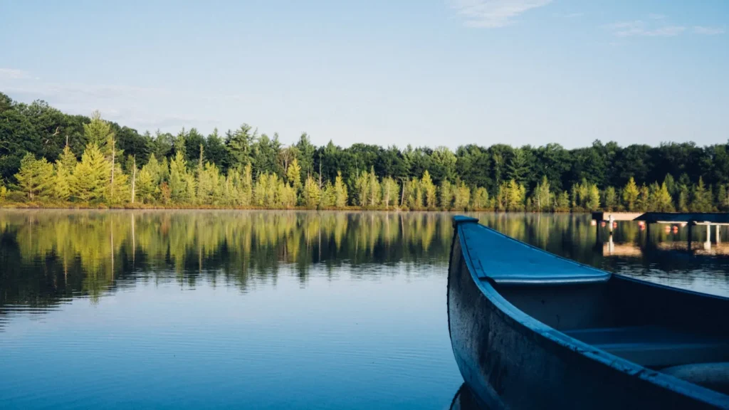
The photo at the top of this page is not South Fork Spring River.
It is a regional stand-in, honestly captioned but generic — we will not put a name to a river we cannot prove. Send us a photograph you took here and it replaces the stand-in, with your credit on it.
Add a photo of this water
Landscape, not fish — the water itself. Reviewed by hand before it appears. The first one published here earns the Pioneer badge.
Fished this water? Add a photo
Reviewed by hand before it appears. Pick the water, not the spot — we never publish exact locations.
Access
Saddle - the community the gauge is named for, on the middle river.
Hardy - the nearest town with services, on the Spring River below the confluence.
Spring River - the larger cold river the South Fork joins.
Mammoth Spring - the enormous spring at the head of the Spring River system to the north.
Salem - the Fulton County seat upstream to the west.
Gravel bar landings at county road crossings - the standard public put ins for floats.
Highway 62 and Highway 289 - the main routes reaching the river corridor.
Seasons
Spring: high water makes it a float, with smallmouth aggressive as the water warms.
Summer: low clear flows ideal for wading gravel bars and sight fishing the pools.
Fall: moderate water, cooling temperatures and the most consistent smallmouth fishing.
Winter: cold and slow, with fish concentrated in the deeper bluff pools and trout below.
From the water
No logged trips yet. Be the first to put this water on your map.
Log this water
Fished it or cleaned it? Log in or create a free account to log a trip with photos and earn the waterway badge.
Questions
What is the current flow on the South Fork Spring River?
As of Sep 17, 6:30 am, the USGS gauge South Fork Spring River at Saddle, AR reads 4 cfs. Conditions update every 15 minutes.
What species can you catch on the South Fork Spring River?
Anglers target Channel Catfish, Longear Sunfish, Ozark Bass, Rainbow Trout, Shadow Bass, Smallmouth Bass on the South Fork Spring River in Arkansas.
Where can you access the South Fork Spring River?
Saddle - the community the gauge is named for, on the middle river. Hardy - the nearest town with services, on the Spring River below the confluence. Spring River - the larger cold river the South Fork joins. Mammoth Spring - the enormous spring at the head of the Spring River system to the north. Salem - the Fulton County seat upstream to the west. Gravel bar landings at county road crossings - the standard public put ins for floats. Highway 62 and Highway 289 - the main routes reaching the river corridor.
When is the best time to fish the South Fork Spring River?
Spring: high water makes it a float, with smallmouth aggressive as the water warms. Summer: low clear flows ideal for wading gravel bars and sight fishing the pools. Fall: moderate water, cooling temperatures and the most consistent smallmouth fishing. Winter: cold and slow, with fish concentrated in the deeper bluff pools and trout below.
Where are the fishing regulations for the South Fork Spring River?
Regulations change by season and section. Read the current rules on the Arkansas agency site: https://www.agfc.com/regulations/general-fishing-regulations/