Fishes Bogachiel River, Hoh River
River · Olympic Peninsula · Washington
Hoh River Fishing Guides
An Olympic Peninsula rain forest river running west from Mount Olympus past the Hoh Rain Forest to the Pacific, fished from a drift boat for wild winter steelhead and fall salmon.
Map of the Hoh River
11 numbered points: 7 campsites, 1 agency office, 1 USGS gauge, 2 points of interest. Tap a marker for details. Reviewed Sep 15, 2026.
- Campsite (7)
- Agency / conservation office (1)
- USGS gauge (1)
- Point of interest (2)
Map data © OpenStreetMap contributors. Points are curated from OpenStreetMap and state agency sources; confirm access and hours before you go.
Print it. Bag it. Bring it.Phones die, screens crack, and most of this water has no signal. Print this map, fold it into a zip-top bag or dry bag with your license, and you have a backup your electronics can’t give you. Every marker is numbered so you can say exactly where you are.
Open the printable mapAll 11 points on this map
| # | Point | Type | Lat, Lon | Notes |
|---|---|---|---|---|
| 1 | Hoh Rainforest Campground Olympic National Park · end of Upper Hoh Road | Campsite | 47.85736, -123.93419 | |
| 2 | Hoh Rain Forest Visitor Center Olympic National Park | Agency / conservation office | 47.86078, -123.93462 | OSM carries this node as the visitor-centre mini-trail trailhead. |
| 3 | Big Spruce Tree Roadside landmark on Upper Hoh Road | Point of interest | 47.83684, -123.97416 | |
| 4 | Hoh River Trust Campground Riverside campground on Upper Hoh Road | Campsite | 47.80384, -124.09848 | |
| 5 | Hard Rain Cafe and RV sites on Upper Hoh Road | Campsite | 47.81722, -124.15347 | |
| 6 | Minnie Peterson Campground DNR campground on Upper Hoh Road | Campsite | 47.81920, -124.17336 | |
| 7 | Hoh Oxbow Campground DNR campground and river launch at US 101 | Campsite | 47.81039, -124.24954 | The busiest access on the lower river; the highway bridge is 200 m downstream. |
| 8 | USGS 12041200 — Hoh River at US 101 near Forks USGS streamgage | USGS gauge | 47.80675, -124.25103 | At the US 101 bridge, beside the Oxbow campground. |
| 9 | Allen's Bar DNR camp on the lower river | Campsite | 47.79811, -124.25251 | |
| 10 | Cottonwood Campground DNR campground on the lower river | Campsite | 47.77960, -124.29239 | |
| 11 | Oil City (Hoh River Mouth) Trailhead Road end at the river mouth | Point of interest | 47.74927, -124.41877 | The last vehicle access on the Hoh; the beach at the mouth is a walk from here. |
Guides on the Hoh River
Claimed profiles take booking requests. Unclaimed profiles are built from public records so the river is never empty; the guide can claim or remove one any time.
About the Hoh River
The Hoh comes off the Olympus glaciers, runs through one of the few temperate rain forests in North America, and reaches the Pacific south of Forks. It is the archetype of the Olympic Peninsula steelhead river: gray-green glacial water, moss-hung maples on the banks, elk tracks on the gravel bars, and a run of wild winter steelhead that draws anglers from around the world in February and March.
Almost all serious fishing here is done from a drift boat. The standard runs are Upper Hoh Road to the Oxbow, Oxbow to Morgans Crossing, and the lower floats down toward the reservation boundary. Guides swing flies on Skagit heads or fish bait and jigs depending on their clientele, and either way the day is about covering water and reading a river that changes its channels every winter. Fall brings chinook and coho, and sea-run cutthroat fishing in late summer is a quiet, pleasant alternative to the winter grind.
The Highway 101 gauge is the one every guide checks. The Hoh rises fast in Pacific storms and carries glacial flour that keeps visibility low even when the level is dropping. Anglers watch for a falling river with two to four feet of visibility; a rising river or a heavy melt event is a lost day. The peninsula gets a great deal of rain, and multi-day trips here are planned around that reality rather than in spite of it.
Forks is the base for everything, with lodging, boat launches and outfitters. The lower river runs through the Hoh Indian Reservation, where tribal regulations apply.
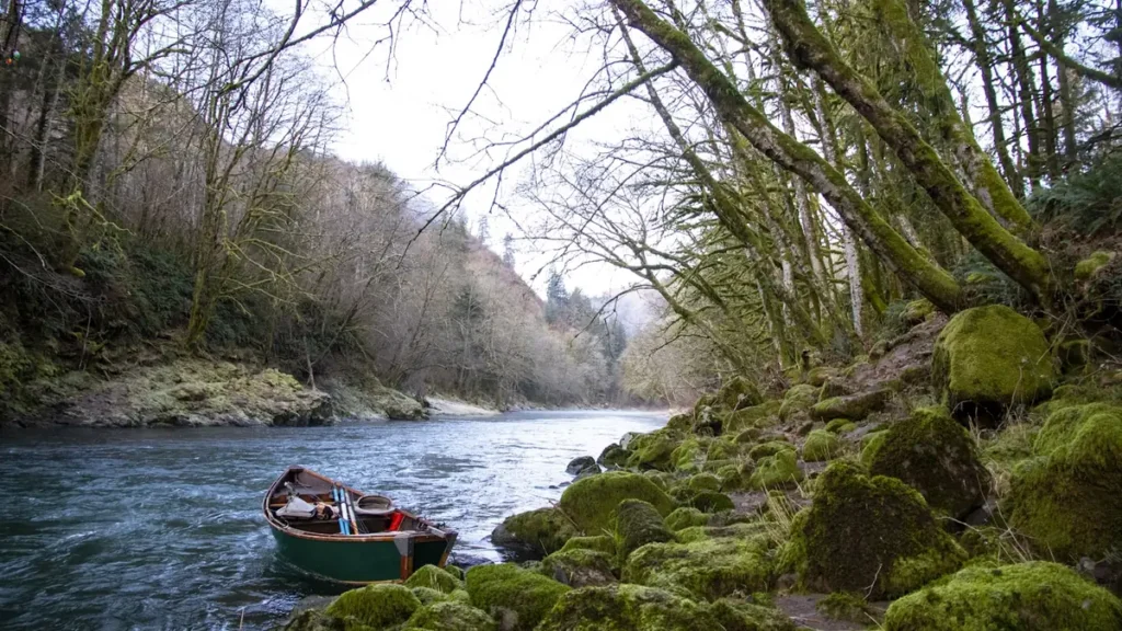
This water needs a real photo
The photo at the top of this page is not Hoh River.
It is a regional stand-in, honestly captioned but generic — we will not put a name to a river we cannot prove. Send us a photograph you took here and it replaces the stand-in, with your credit on it.
Pioneer badgeUnclaimed
Add a photo of this water
Landscape, not fish — the water itself. Reviewed by hand before it appears. The first one published here earns the Pioneer badge.
Fished this water? Add a photo
Reviewed by hand before it appears. Pick the water, not the spot — we never publish exact locations.
Access
Upper Hoh Road and the Hoh Rain Forest (Olympic National Park): upper river access and campground.
Willoughby Creek and Minnie Peterson: upper river campgrounds and launches.
Morgans Crossing: Department of Natural Resources access on the upper river.
Oxbow Campground: mid-river launch.
Cottonwood Recreation Site: lower river access downstream of Highway 101.
Below the reservation boundary tribal regulations apply; check before fishing the lower river.
Seasons
December through April: wild winter steelhead, the main season; check current retention and season rules.
May and June: high water from snowmelt, limited fishing.
July through September: sea-run cutthroat, low clear water, quiet river.
September through November: fall chinook and coho, storm-driven flows.
From the water
No logged trips yet. Be the first to put this water on your map.
Log this water
Fished it or cleaned it? Log in or create a free account to log a trip with photos and earn the waterway badge.
Questions
What is the current flow on the Hoh River?
As of Oct 19, 2:15 am, the USGS gauge HOH RIVER AT US HIGHWAY 101 NEAR FORKS, WA reads 510 cfs, the 13th percentile for this date. Conditions update every 15 minutes.
What species can you catch on the Hoh River?
Anglers target Bull Trout, Chinook Salmon, Coastal Cutthroat Trout, Coho Salmon, Steelhead on the Hoh River in Washington.
Are there fishing guides on the Hoh River?
GuidedFloats lists 3 guides and outfitters on the Hoh River. Claimed profiles accept booking requests; unclaimed profiles are built from public records and link to the business.
Where can you access the Hoh River?
Upper Hoh Road and the Hoh Rain Forest (Olympic National Park): upper river access and campground. Willoughby Creek and Minnie Peterson: upper river campgrounds and launches. Morgans Crossing: Department of Natural Resources access on the upper river. Oxbow Campground: mid-river launch. Cottonwood Recreation Site: lower river access downstream of Highway 101. Below the reservation boundary tribal regulations apply; check before fishing the lower river.
When is the best time to fish the Hoh River?
December through April: wild winter steelhead, the main season; check current retention and season rules. May and June: high water from snowmelt, limited fishing. July through September: sea-run cutthroat, low clear water, quiet river. September through November: fall chinook and coho, storm-driven flows.
Where are the fishing regulations for the Hoh River?
Regulations change by season and section. Read the current rules on the Washington agency site: https://wdfw.wa.gov/fishing/regulations