Mammoth Spring Fishing Guides
One of the largest springs in the world, pushing over two hundred million gallons a day out of the ground on the Arkansas line and creating the Spring River, a cold, fast, year-round trout fishery from its first yard.
Map of the Mammoth Spring
5 numbered points: 1 park or conservation area, 1 agency office, 1 hazard, 1 spring, 1 USGS gauge. Tap a marker for details. Reviewed Sep 22, 2026.
- Park / conservation area (1)
- Agency / conservation office (1)
- Dam / hazard (1)
- Spring (1)
- USGS gauge (1)
Print it. Bag it. Bring it.Phones die, screens crack, and most of this water has no signal. Print this map, fold it into a zip-top bag or dry bag with your license, and you have a backup your electronics can’t give you. Every marker is numbered so you can say exactly where you are.
Open the printable mapAll 5 points on this map
| # | Point | Type | Lat, Lon | Notes |
|---|---|---|---|---|
| 1 | Mammoth Spring About nine million gallons an hour, 58 F year round | Spring | 36.49781, -91.53594 | The largest spring in Arkansas and one of the largest in the world. Every cold-water mile of the Spring River below it runs on this flow. |
| 2 | USGS gauge - Mammoth Spring at Mammoth Spring USGS 07069190 | USGS gauge | 36.49813, -91.53569 | Spring discharge and water temperature. Read it before committing to a Spring River float. |
| 3 | Mammoth Spring State Park Arkansas State Parks - spring lake, 1886 Frisco depot | Park / conservation area | 36.49621, -91.53282 | Walking trail circles the ten-acre spring lake; the visitor centre is in the restored depot. Parking and restrooms at the spring. |
| 4 | Mammoth Spring National Fish Hatchery US Fish and Wildlife Service | Agency / conservation office | 36.49602, -91.53188 | Federal hatchery on the spring lake, across US 63 from the state park. OSM tags the entrance node as a public building. |
| 5 | Mammoth Spring Dam No. 1 Spring-lake outlet dam in the state park | Dam / hazard | 36.49517, -91.53468 | The spring lake empties over this dam into the Spring River. There is no float water above it - the river starts here. |
Guides on the Mammoth Spring
Claimed profiles take booking requests. Unclaimed profiles are built from public records so the river is never empty; the guide can claim or remove one any time.
No guides listed yet
Guide or outfit this water? Create your profile. Listing is free, the commission is 10% or 7% with a premium profile, and premium profiles list first on this water.
About the Mammoth Spring
Mammoth Spring rises at the town of the same name on the Arkansas side of the Missouri border and discharges on the order of two hundred and thirty million gallons a day. That makes it one of the largest springs in the world and by a wide margin the largest in Arkansas. Unlike most big springs, it does not feed an existing river. It creates one. The Spring River begins at the spring pool and is a full-sized stream within a few hundred yards.
The consequence for anglers is unusual. Most southern trout water depends on a dam releasing cold water from the bottom of a reservoir. Here the cold comes straight out of the ground at a near-constant temperature year round, which means the Spring River fishes for trout in August as well as it does in March, and it never ices over in winter.
Rainbow trout are stocked heavily and hold throughout, with a population of browns in the deeper runs. Below the first several miles the river warms enough to support a genuine warmwater fishery as well, and walleye, smallmouth bass and longear sunfish become part of the mix. Channel catfish work the deeper pools. Few streams shift character that quickly.
The spring itself sits within Mammoth Spring State Park, and the pool is not open to fishing. The water to work starts below the dam and the old mill site, and the classic float runs down through Dam Three and the series of shoals and ledges that give the upper river its reputation for fast, technical water.
Outfitters in Mammoth Spring and Hardy run canoe and raft shuttles on the standard sections. The river is popular with paddlers in summer, so early starts and shoulder seasons make for better fishing.
This water needs a real photo
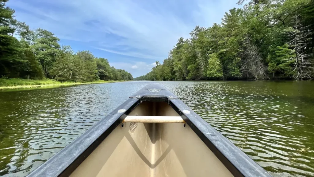
The photo at the top of this page is not Mammoth Spring.
It is a regional stand-in, honestly captioned but generic — we will not put a name to a river we cannot prove. Send us a photograph you took here and it replaces the stand-in, with your credit on it.
Add a photo of this water
Landscape, not fish — the water itself. Reviewed by hand before it appears. The first one published here earns the Pioneer badge.
Fished this water? Add a photo
Reviewed by hand before it appears. Pick the water, not the spot — we never publish exact locations.
Access
Mammoth Spring State Park - the spring pool, the historic depot and the park at the river's head.
Dam Three Access - the first major fishing and float access below the spring.
Saddler Falls - a well-known shoal access on the upper river.
Hardy - the main town downstream, with outfitters, lodging and tackle.
Many Islands - a popular float access on the middle river.
Arkansas Game and Fish Commission accesses - several developed river accesses along the corridor.
US Highway 63 - the main route paralleling the upper river.
Seasons
Spring: strong flows, heavy stocking and excellent trout fishing before the paddling crowds arrive.
Summer: the spring keeps the upper river cold and fishable all summer, though float traffic is heavy midday.
Fall: lower water, clearer conditions and the best wade fishing of the year.
Winter: cold air but constant water temperature, with the river ice free and trout fishing steady.
From the water
No logged trips yet. Be the first to put this water on your map.
Log this water
Fished it or cleaned it? Log in or create a free account to log a trip with photos and earn the waterway badge.
Questions
What species can you catch on the Mammoth Spring?
Anglers target Brown Trout, Channel Catfish, Longear Sunfish, Rainbow Trout, Smallmouth Bass, Walleye on the Mammoth Spring in Arkansas.
Where can you access the Mammoth Spring?
Mammoth Spring State Park - the spring pool, the historic depot and the park at the river's head. Dam Three Access - the first major fishing and float access below the spring. Saddler Falls - a well-known shoal access on the upper river. Hardy - the main town downstream, with outfitters, lodging and tackle. Many Islands - a popular float access on the middle river. Arkansas Game and Fish Commission accesses - several developed river accesses along the corridor. US Highway 63 - the main route paralleling the upper river.
When is the best time to fish the Mammoth Spring?
Spring: strong flows, heavy stocking and excellent trout fishing before the paddling crowds arrive. Summer: the spring keeps the upper river cold and fishable all summer, though float traffic is heavy midday. Fall: lower water, clearer conditions and the best wade fishing of the year. Winter: cold air but constant water temperature, with the river ice free and trout fishing steady.
Where are the fishing regulations for the Mammoth Spring?
Regulations change by season and section. Read the current rules on the Arkansas agency site: https://www.agfc.com/regulations/general-fishing-regulations/