Fishes Pine Creek
Creek · Pennsylvania Wilds · Pennsylvania
Pine Creek Fishing Guides
The river through the Pennsylvania Grand Canyon, running from Ansonia through Blackwell and Cedar Run to Waterville, floated in spring for trout and in summer for smallmouth.
Map of the Pine Creek
34 numbered points: 5 access points, 10 campsites, 1 outfitter, 9 bridges, 3 parks and conservation areas, 3 regulation section limits, 1 hazard, 1 spring, 1 USGS gauge. Tap a marker for details. Reviewed Sep 16, 2026.
- Access / boat ramp (5)
- Campsite (10)
- Outfitter / canoe rental (1)
- Bridge crossing (9)
- Park / conservation area (3)
- Regulation section limit (3)
- Dam / hazard (1)
- Spring (1)
- USGS gauge (1)
Map data © OpenStreetMap contributors. Points are curated from OpenStreetMap and state agency sources; confirm access and hours before you go.
Print it. Bag it. Bring it.Phones die, screens crack, and most of this water has no signal. Print this map, fold it into a zip-top bag or dry bag with your license, and you have a backup your electronics can’t give you. Every marker is numbered so you can say exactly where you are.
Open the printable mapAll 34 points on this map
| # | Point | Type | Lat, Lon | Notes |
|---|---|---|---|---|
| 1 | West Street bridge, Galeton Borough crossing above the dam | Bridge crossing | 41.73573, -77.64802 | |
| 2 | John J. Collins Memorial Park Borough of Galeton | Park / conservation area | 41.73388, -77.64811 | Town park on the creek at the head of the mapped water. |
| 3 | Galeton Dam Dam in Galeton borough | Dam / hazard | 41.73356, -77.64226 | Portage or take out above it — the impoundment behind the dam is the first still water on the creek. |
| 4 | PA 144 bridge, Galeton Bridge Street | Bridge crossing | 41.73359, -77.64208 | |
| 5 | Elk Run Road bridge Township crossing below Galeton | Bridge crossing | 41.74280, -77.57815 | |
| 6 | Snyder's Family Campground Private campground | Campsite | 41.74744, -77.57434 | |
| 7 | Crooked Creek Campground Private campground | Campsite | 41.74777, -77.56529 | Run by DB Adventures LLC per OSM. |
| 8 | US 6 bridge Grand Army of the Republic Highway | Bridge crossing | 41.75265, -77.50340 | The main east-west crossing above Ansonia. |
| 9 | Pine Creek Outfitters Canoe and kayak outfitter, Wellsboro Junction | Outfitter / canoe rental | 41.74691, -77.44446 | Tagged shop=outdoor in OSM; the usual shuttle and rental stop for the gorge float. |
| 10 | Colton Point Road bridge Ansonia, head of the gorge | Bridge crossing | 41.74388, -77.43384 | |
| 11 | Ansonia canoe access Hand launch at Ansonia | Access / boat ramp | 41.74467, -77.42783 | The put-in at the top of the Pine Creek Gorge. Tagged only as a slipway and a parking area called “Canoe Access” in OSM; named here for the village it sits in. |
| 12 | Delayed-harvest reach — upper limit Marsh Creek confluence, Ansonia | Regulation section limit | 41.74317, -77.42837 | Upstream end of the delayed-harvest reach the current PFBC digest lists for Pine Creek, about 3.3 mi. PFBC's own Keystone Select announcement described a shorter reach, so check the PFBC page before you fish it. |
| 13 | Matson Spring Named spring in the upper gorge | Spring | 41.72743, -77.44144 | |
| 14 | Delayed-harvest reach — lower limit Bear Run confluence | Regulation section limit | 41.70823, -77.46076 | Downstream end of the delayed-harvest reach as the current digest describes it. |
| 15 | Colton Point State Park Campground PA DCNR, west rim | Campsite | 41.70796, -77.46797 | Rim campground above the gorge — the creek itself is a steep walk below. |
| 16 | Leonard Harrison State Park Campground PA DCNR, east rim | Campsite | 41.69779, -77.44979 | The east-rim campground and overlook, opposite Colton Point. |
| 17 | Tiadaghton Campground Campsite in the gorge | Campsite | 41.64737, -77.45052 | On the creek bank along the rail trail, reachable on foot or by boat. |
| 18 | Hoffman Campground Campsite on the rail trail | Campsite | 41.54638, -77.38958 | |
| 19 | Pettecote Junction Campground Private campground at Cedar Run | Campsite | 41.52746, -77.44372 | |
| 20 | USGS 01548500 — Pine Creek at Cedar Run Live discharge and water temperature | USGS gauge | 41.52167, -77.44745 | The gauge the water page reads for flow, temperature and the percentile against the historical median. It is also the gauge floaters read before committing to the gorge. |
| 21 | Beulah Land Road bridge Cammal reach | Bridge crossing | 41.52159, -77.44797 | |
| 22 | Gamble Run canoe access Canoe access and parking | Access / boat ramp | 41.50736, -77.45681 | Tagged as a parking area named Gamble Run Canoe Access in OSM. |
| 23 | PA 414 bridge, Brown Township State-route crossing | Bridge crossing | 41.48628, -77.49714 | OSM carries this one as “Bridge in Brown Township”; it is the PA 414 crossing. |
| 24 | Catch-and-release reach — upper limit Slate Run confluence | Regulation section limit | 41.47260, -77.50375 | Upstream end of the catch-and-release reach, about 2.9 mi down to the Bonnell Run confluence at the DCNR Clark Farm access. |
| 25 | Slate Run Road bridge Slate Run village crossing | Bridge crossing | 41.47082, -77.50289 | |
| 26 | Slate Run canoe access Canoe access and parking | Access / boat ramp | 41.47134, -77.50247 | |
| 27 | Tomb Flats Campground Pennsylvania Bureau of Forestry | Campsite | 41.45927, -77.50890 | Primitive state-forest campsite on the creek. |
| 28 | Black Walnut Bottom Pennsylvania Bureau of Forestry | Campsite | 41.44644, -77.51807 | Primitive state-forest campsite on the creek. |
| 29 | Waterville Access Access and parking at Waterville | Access / boat ramp | 41.31220, -77.37753 | |
| 30 | Cummings Township Park Township park at Waterville | Park / conservation area | 41.30891, -77.36451 | |
| 31 | Bonnell Flats Campsite on the lower creek | Campsite | 41.27798, -77.31954 | |
| 32 | Torbert Island Natural Area Pennsylvania Bureau of Forestry | Park / conservation area | 41.22458, -77.32733 | |
| 33 | PCRT Whitetail Access Rail-trail access and parking | Access / boat ramp | 41.22139, -77.31991 | |
| 34 | Railroad Street bridge, Avis Last crossing above the mouth | Bridge crossing | 41.19723, -77.29226 | The West Branch Susquehanna confluence at Jersey Shore is about 3 km below here. |
Guides on the Pine Creek
Claimed profiles take booking requests. Unclaimed profiles are built from public records so the river is never empty; the guide can claim or remove one any time.
About the Pine Creek
Pine Creek runs south through the Pine Creek Gorge, the fifty-mile canyon that Pennsylvania markets as its Grand Canyon, and it is the state’s best-known float stream. From Ansonia down through Blackwell, Cedar Run, Slate Run and Waterville, the creek runs between forested walls with the Pine Creek Rail Trail on one bank and almost no road access on the other, which makes a canoe or raft the natural way to fish it.
Spring is trout season. The creek is stocked in the accessible reaches, holds wild browns and rainbows in the cold tributaries and canyon runs, and the tributaries themselves, Slate Run, Cedar Run and their feeders, are wild brook and brown trout streams good enough to be destinations on their own. The Slate Run area has long been a fly fishing center with a well-known shop and a tradition of catch-and-release water.
By midsummer the main stem warms and the fishing turns to smallmouth bass and rock bass, which is a genuinely good warm-water float and much less crowded than the spring trout season. Water level dictates everything: Pine Creek is a spring-float creek that often gets too low to run by July, and the Cedar Run gauge is what tells you. A few hundred cfs floats comfortably; under about a hundred and fifty you will be dragging; big spring flows move fast through the canyon and demand real paddling skill.
Wellsboro is the base town, with Blackwell, Cedar Run, Slate Run and Waterville as small river stops with lodging, liveries and shuttles.
This water needs a real photo
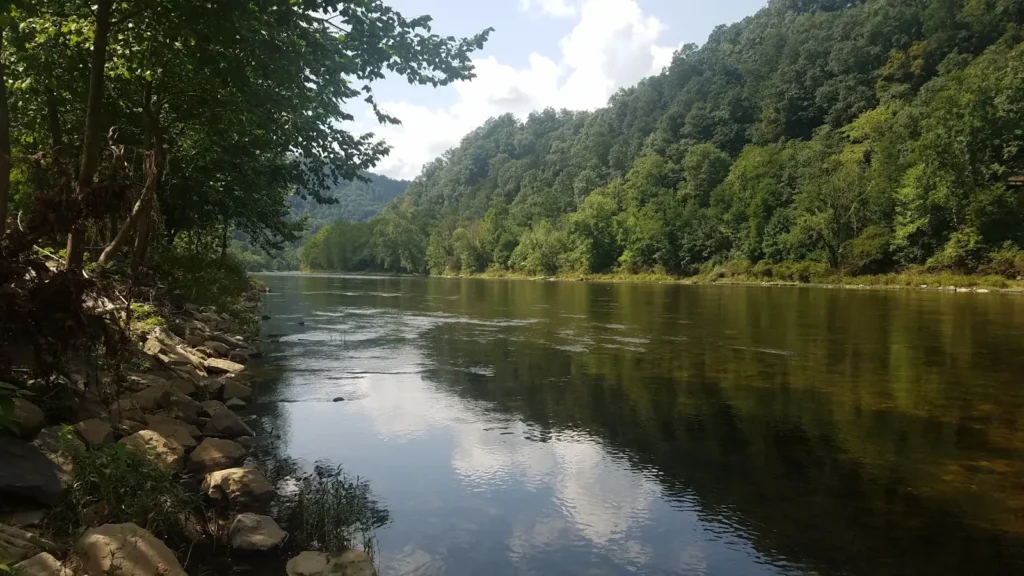
The photo at the top of this page is not Pine Creek.
It is a regional stand-in, honestly captioned but generic — we will not put a name to a river we cannot prove. Send us a photograph you took here and it replaces the stand-in, with your credit on it.
Pioneer badgeUnclaimed
Add a photo of this water
Landscape, not fish — the water itself. Reviewed by hand before it appears. The first one published here earns the Pioneer badge.
Fished this water? Add a photo
Reviewed by hand before it appears. Pick the water, not the spot — we never publish exact locations.
Access
Ansonia: top of the canyon float at the Highway 6 crossing.
Darling Run: the main canyon put-in and rail trail access.
Tiadaghton and Blackwell: mid-canyon accesses with camping.
Cedar Run: village access at the gauge, tributary trout water.
Slate Run: access at the Slate Run confluence, a fly fishing center.
Waterville and Jersey Shore: lower creek accesses toward the West Branch Susquehanna.
The Pine Creek Rail Trail follows the creek and reaches most of the canyon on foot or by bike.
Seasons
March through May: stocked and wild trout, the reliable float window, highest water.
June: transitional; trout in the cold water, smallmouth appearing, levels dropping.
July and August: smallmouth season on the main stem, often too low to float; tributaries hold trout.
September through November: fall rains restore floating levels, good smallmouth and wild trout in the tributaries.
From the water
No logged trips yet. Be the first to put this water on your map.
Log this water
Fished it or cleaned it? Log in or create a free account to log a trip with photos and earn the waterway badge.
Questions
What is the current flow on the Pine Creek?
As of Oct 19, 4:15 am, the USGS gauge Pine Creek at Cedar Run, PA reads 134 cfs, the 44th percentile for this date. Conditions update every 15 minutes.
What species can you catch on the Pine Creek?
Anglers target Brook Trout, Brown Trout, Rainbow Trout, Rock Bass, Smallmouth Bass on the Pine Creek in Pennsylvania.
Are there fishing guides on the Pine Creek?
GuidedFloats lists 1 guide and outfitters on the Pine Creek. Claimed profiles accept booking requests; unclaimed profiles are built from public records and link to the business.
Where can you access the Pine Creek?
Ansonia: top of the canyon float at the Highway 6 crossing. Darling Run: the main canyon put-in and rail trail access. Tiadaghton and Blackwell: mid-canyon accesses with camping. Cedar Run: village access at the gauge, tributary trout water. Slate Run: access at the Slate Run confluence, a fly fishing center. Waterville and Jersey Shore: lower creek accesses toward the West Branch Susquehanna. The Pine Creek Rail Trail follows the creek and reaches most of the canyon on foot or by bike.
When is the best time to fish the Pine Creek?
March through May: stocked and wild trout, the reliable float window, highest water. June: transitional; trout in the cold water, smallmouth appearing, levels dropping. July and August: smallmouth season on the main stem, often too low to float; tributaries hold trout. September through November: fall rains restore floating levels, good smallmouth and wild trout in the tributaries.
Where are the fishing regulations for the Pine Creek?
Regulations change by season and section. Read the current rules on the Pennsylvania agency site: https://www.pa.gov/agencies/fishandboat/fishing/regulations