Fishes Sipsey Fork
River · Bankhead National Forest · Alabama
Sipsey Fork Fishing Guides
Alabama's only year-round trout water below Lewis Smith Dam, plus the wilderness canoe float above it through the Sipsey Wilderness canyons.
Gauge location. Map data © OpenStreetMap contributors.
Guides on the Sipsey Fork
Claimed profiles take booking requests. Unclaimed profiles are built from public records so the river is never empty; the guide can claim or remove one any time.
About the Sipsey Fork
The Sipsey Fork is two experiences stacked on one drainage. Below Lewis Smith Dam, the cold bottom release supports Alabama’s only year-round trout fishery, stocked monthly and fished from the bank and from small boats for a few miles downstream of the dam. Above the reservoir, the Sipsey Fork runs through the Sipsey Wilderness in the Bankhead National Forest, a canyon-and-hardwood float with sandstone bluffs, waterfalls off the canyon walls and some of the best paddling in the Southeast.
The wilderness section is what most floaters come for. It is a spring-run river through a designated wilderness where no motors and no mechanized equipment are allowed, and it fishes for smallmouth and spotted bass and bream between the ledges. The trout water below the dam is a different day entirely: cold, tight, heavily used near the access points, and reliable in the middle of an Alabama summer when nothing else in the state holds trout.
Flow determines whether the wilderness float happens at all. This gauge sits on the upper river and reads low much of the summer, often under twenty cfs, which means dragging a boat. The float window is generally winter and spring after rain, when the number climbs into the tens or hundreds of cfs; the canyon comes up quickly and drops just as fast, so plan around a rain event rather than a calendar. Below the dam, the fishery depends on release rather than on this reading.
Double Springs and Jasper are the nearest towns, with Birmingham about an hour and a half away. The wilderness has no services of any kind, so go in prepared and tell somebody where you launched.
This water needs a real photo
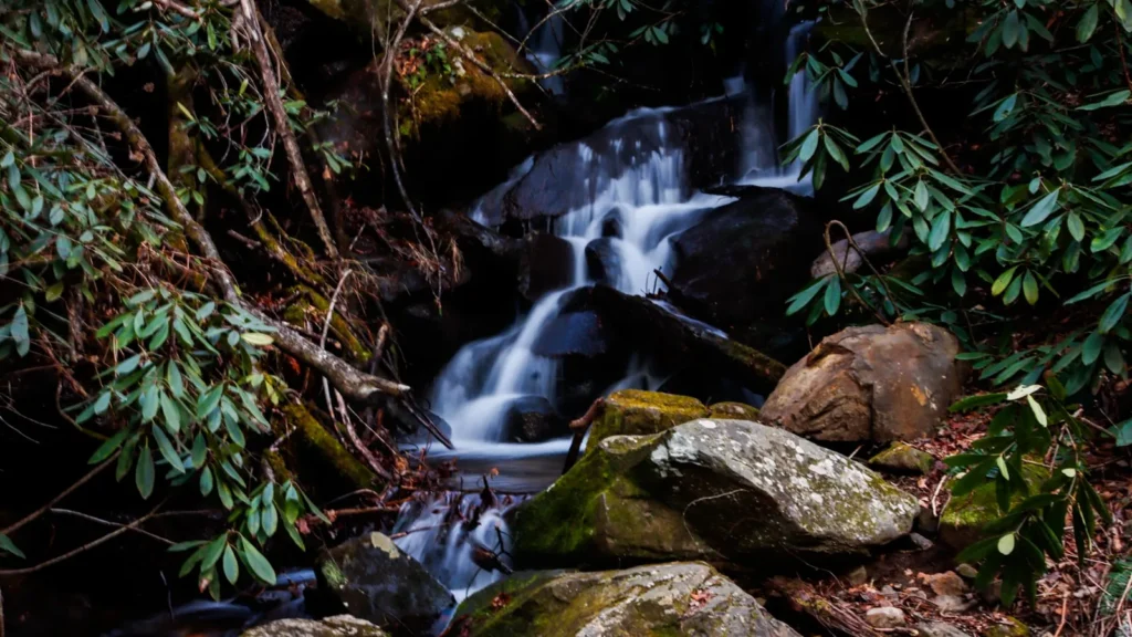
The photo at the top of this page is not Sipsey Fork.
It is a regional stand-in, honestly captioned but generic — we will not put a name to a river we cannot prove. Send us a photograph you took here and it replaces the stand-in, with your credit on it.
Pioneer badgeUnclaimed
Add a photo of this water
Landscape, not fish — the water itself. Reviewed by hand before it appears. The first one published here earns the Pioneer badge.
Fished this water? Add a photo
Reviewed by hand before it appears. Pick the water, not the spot — we never publish exact locations.
Access
Sipsey Recreation Area at County Road 60: the main wilderness put-in on the Sipsey Fork.
Thompson Creek and Borden Creek trailheads: walk-in access into the canyon.
Lewis Smith Dam tailrace: the year-round trout water, bank access and parking.
Riverside and Duncan Bridge: lower river access below the dam.
Sipsey Wilderness trail system: hike-in fishing on the upper forks.
Bankhead National Forest campgrounds: camping near both sections.
No motors or mechanized equipment inside the wilderness boundary.
Seasons
December through April: the reliable float window in the wilderness, after rain.
March through May: best combination of flow, weather and bass fishing.
June through September: low water up top; fish the cold tailwater below the dam instead.
October and November: low, clear and beautiful in the canyon; wade and hike rather than float.
From the water
No logged trips yet. Be the first to put this water on your map.
Log this water
Fished it or cleaned it? Log in or create a free account to log a trip with photos and earn the waterway badge.
Questions
What is the current flow on the Sipsey Fork?
As of Oct 19, 4:00 am, the USGS gauge SIPSEY FORK NEAR GRAYSON AL reads 8 cfs, the 36th percentile for this date, with water temperature 53.8 F. Conditions update every 15 minutes.
What species can you catch on the Sipsey Fork?
Anglers target Bluegill, Channel Catfish, Rainbow Trout, Smallmouth Bass, Spotted Bass on the Sipsey Fork in Alabama.
Are there fishing guides on the Sipsey Fork?
GuidedFloats lists 1 guide and outfitters on the Sipsey Fork. Claimed profiles accept booking requests; unclaimed profiles are built from public records and link to the business.
Where can you access the Sipsey Fork?
Sipsey Recreation Area at County Road 60: the main wilderness put-in on the Sipsey Fork. Thompson Creek and Borden Creek trailheads: walk-in access into the canyon. Lewis Smith Dam tailrace: the year-round trout water, bank access and parking. Riverside and Duncan Bridge: lower river access below the dam. Sipsey Wilderness trail system: hike-in fishing on the upper forks. Bankhead National Forest campgrounds: camping near both sections. No motors or mechanized equipment inside the wilderness boundary.
When is the best time to fish the Sipsey Fork?
December through April: the reliable float window in the wilderness, after rain. March through May: best combination of flow, weather and bass fishing. June through September: low water up top; fish the cold tailwater below the dam instead. October and November: low, clear and beautiful in the canyon; wade and hike rather than float.
Where are the fishing regulations for the Sipsey Fork?
Regulations change by season and section. Read the current rules on the Alabama agency site: https://www.outdooralabama.com/fishing/freshwater-fishing-creel-and-size-limits