Beta

GuidedFloats is in beta. The full site launches March 1, 2027. The mobile app follows.

Guides: claim before March 1, 2027 and your first full season of Premium is free. Claim your founding spot →

Home › Waters › Wisconsin › Chaffee Creek
Spring creek · Central Sands, the Waushara and Marquette county line near Coloma, groundwater-fed trout water beside Interstate 39 · Wisconsin

Chaffee Creek Fishing Guides

Fourteen miles of Class I wild trout water on the Wisconsin sand plain, carrying its highest recorded brown trout density and reached from the Ice Age Trail.
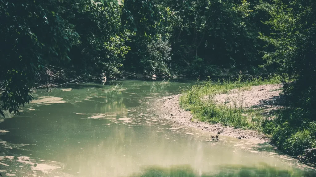
Mist over a green river between wooded banks
Gauge location. Map data © OpenStreetMap contributors.

Guides on the Chaffee Creek

Claimed profiles take booking requests. Unclaimed profiles are built from public records so the river is never empty; the guide can claim or remove one any time.

No guides listed yet

Guide or outfit this water? Create your profile. Listing is free, the commission is 10% or 7% with a premium profile, and premium profiles list first on this water.

About the Chaffee Creek

Chaffee Creek runs across the Waushara and Marquette county line near Coloma, in the Central Sands country of central Wisconsin. This is groundwater country: rain sinks straight into the sand plain and comes back out as cold, steady spring flow, which is why a small stream here can hold wild trout through a Wisconsin summer when larger surface-fed rivers cannot. The gauge sits where Interstate 39 crosses the creek.

The state classifies just under fourteen miles of Chaffee Creek as Class One trout water, from mile one point six six to mile fifteen point six two. Class One is Wisconsin’s top designation and it means something specific: the trout population is self-sustaining, reproduction is sufficient, and the stream requires no stocking at all. Very little water carries that classification for that many continuous miles.

Brown trout dominate. The department’s twenty twenty one trend survey sampled five hundred and sixty of them, with rainbow and brook trout present in smaller numbers alongside. The same survey put catch rates for browns over six inches in the ninety first percentile, the highest density recorded since monitoring began in two thousand and eight, with good numbers of fish in the eight to twelve inch range. Only one young of year fish turned up at the trend site, which biologists attributed to limited spawning gravel and woody debris at that particular location rather than to the stream as a whole.

Access is straightforward but worth getting right. The Ice Age National Scenic Trail crosses the creek on its Chaffee Creek Segment, a two and a half mile stretch with a kiosk at the western end of the Interstate 39 southbound wayside near mile marker one hundred and twenty, and a wooden bridge over the water. Some third party sources refer to a Chaffee Creek State Fishery Area, but no such property appears in the department’s official listings, so the trail and wayside are the reliable public access.

This water needs a real photo

The photo at the top of this page is not Chaffee Creek.

It is a regional stand-in, honestly captioned but generic — we will not put a name to a river we cannot prove. Send us a photograph you took here and it replaces the stand-in, with your credit on it.

Add a photo of this water See the badges

Pioneer badgeUnclaimed

Add a photo of this water

Landscape, not fish — the water itself. Reviewed by hand before it appears. The first one published here earns the Pioneer badge.

Never published. It is how the badge is held for you until member accounts open.

Posting to Chaffee Creek.

JPG, PNG or WebP, up to 12 MB. Landscape orientation looks best at the top of the page. We resize it and strip the location data out of the file.

The name printed under the photo and on your badge. Leave blank to stay anonymous.

Reader photo license v1.0 — the short version:

  • You grant Guided Floats, LLC a non-exclusive, royalty-free license to publish, resize and crop your photo on guidedfloats.com and in GuidedFloats’ own social posts and apps. You keep the copyright and can use the photo anywhere else.
  • You confirm that you took the photo yourself, that publishing it does not infringe anyone else’s rights, and that anyone recognisable in it (or a parent or guardian, if they are under 18) is happy for it to appear here.
  • Credit is printed beside the photo wherever it appears on the site, using the credit name you give us. Leave it blank and we use your name; write “Anonymous” for no name. Your email address is never published.
  • Withdrawing is one email to hello@guidedfloats.com naming the photo. It comes off the site within 7 days.
Read the full license

Version 1.0, dated 6 September 2026. Applies to every photograph submitted to GuidedFloats through the contact form, a species page, or the community board.

1. What you give us

By ticking the box on the form you grant Guided Floats, LLC (“GuidedFloats”, “we”) a non-exclusive, worldwide, royalty-free license to store, copy, resize, crop and display your photograph on guidedfloats.com, in GuidedFloats’ own social media accounts and mobile apps, and in material that promotes the site itself, in connection with the fish, water or community feature you sent it in for. The license lasts until you withdraw it (section 4).

You keep the copyright. The license is not exclusive, so you can use the photo anywhere else and license it to anyone else. We will not sell your photo, license it on to anyone else on its own, or use it in paid advertising for a third party.

2. What you confirm

You confirm that you took the photograph yourself (or otherwise own the rights to it), that you have the right to grant this license, and that publishing the photo does not infringe anyone else’s copyright, privacy or other rights.

If any person is recognisable in the photo, you confirm that they have agreed to its being published here, and that a parent or guardian has agreed on behalf of anyone under 18. Please do not send photographs of other people’s catches, screenshots, or pictures copied from other websites or social media.

3. Credit

We print the credit name you give us beside the photo wherever it appears on the site, and record it as the photo’s creator in the page’s structured data. If you leave the credit blank we use the name you gave us on the form. Write “Anonymous” if you prefer no name at all. Your email address, phone number and the exact spot the photo was taken are never published.

4. Withdrawing the license

You can withdraw the license at any time by emailing hello@guidedfloats.com, or by using the contact form, and telling us which photo you mean. We will remove the photo from guidedfloats.com within 7 days of receiving your message and stop using it in anything new. Copies that are already outside our control — search-engine caches, social posts that have already gone out, printed material already produced — may take longer to disappear or may not be recallable, and we are not responsible for those.

5. What we may do

We choose which photos to publish and may decline any submission without giving a reason. We may crop, resize, sharpen or colour-correct a photo for display, and we may remove a photo at any time. We will not alter a photo in a way that misrepresents the fish, the water or you.

6. Your details

We keep your name, email address, the credit name, the water and date you gave us, and the network address the submission came from, with the submission record, as our evidence of this license. We hold that record for as long as the photo is published and for the retention period described in our privacy policy. Location data that your camera or phone embedded in the file is removed before the photo is published.

7. Versions

The version of this license you accepted is stored with your submission and printed with the photo. A later version does not apply to a photo you have already sent unless you agree to it.

Fished this water? Add a photo

Reviewed by hand before it appears. Pick the water, not the spot — we never publish exact locations.

Never published. We use it only if we need to ask about the photo.

Posting to Chaffee Creek.

JPG, PNG or WebP, up to 12 MB. We resize it and strip the location data out of the file.

The name shown under the photo. Leave blank to stay anonymous.

Reader photo license v1.0 — the short version:

  • You grant Guided Floats, LLC a non-exclusive, royalty-free license to publish, resize and crop your photo on guidedfloats.com and in GuidedFloats’ own social posts and apps. You keep the copyright and can use the photo anywhere else.
  • You confirm that you took the photo yourself, that publishing it does not infringe anyone else’s rights, and that anyone recognisable in it (or a parent or guardian, if they are under 18) is happy for it to appear here.
  • Credit is printed beside the photo wherever it appears on the site, using the credit name you give us. Leave it blank and we use your name; write “Anonymous” for no name. Your email address is never published.
  • Withdrawing is one email to hello@guidedfloats.com naming the photo. It comes off the site within 7 days.
Read the full license

Version 1.0, dated 6 September 2026. Applies to every photograph submitted to GuidedFloats through the contact form, a species page, or the community board.

1. What you give us

By ticking the box on the form you grant Guided Floats, LLC (“GuidedFloats”, “we”) a non-exclusive, worldwide, royalty-free license to store, copy, resize, crop and display your photograph on guidedfloats.com, in GuidedFloats’ own social media accounts and mobile apps, and in material that promotes the site itself, in connection with the fish, water or community feature you sent it in for. The license lasts until you withdraw it (section 4).

You keep the copyright. The license is not exclusive, so you can use the photo anywhere else and license it to anyone else. We will not sell your photo, license it on to anyone else on its own, or use it in paid advertising for a third party.

2. What you confirm

You confirm that you took the photograph yourself (or otherwise own the rights to it), that you have the right to grant this license, and that publishing the photo does not infringe anyone else’s copyright, privacy or other rights.

If any person is recognisable in the photo, you confirm that they have agreed to its being published here, and that a parent or guardian has agreed on behalf of anyone under 18. Please do not send photographs of other people’s catches, screenshots, or pictures copied from other websites or social media.

3. Credit

We print the credit name you give us beside the photo wherever it appears on the site, and record it as the photo’s creator in the page’s structured data. If you leave the credit blank we use the name you gave us on the form. Write “Anonymous” if you prefer no name at all. Your email address, phone number and the exact spot the photo was taken are never published.

4. Withdrawing the license

You can withdraw the license at any time by emailing hello@guidedfloats.com, or by using the contact form, and telling us which photo you mean. We will remove the photo from guidedfloats.com within 7 days of receiving your message and stop using it in anything new. Copies that are already outside our control — search-engine caches, social posts that have already gone out, printed material already produced — may take longer to disappear or may not be recallable, and we are not responsible for those.

5. What we may do

We choose which photos to publish and may decline any submission without giving a reason. We may crop, resize, sharpen or colour-correct a photo for display, and we may remove a photo at any time. We will not alter a photo in a way that misrepresents the fish, the water or you.

6. Your details

We keep your name, email address, the credit name, the water and date you gave us, and the network address the submission came from, with the submission record, as our evidence of this license. We hold that record for as long as the photo is published and for the retention period described in our privacy policy. Location data that your camera or phone embedded in the file is removed before the photo is published.

7. Versions

The version of this license you accepted is stored with your submission and printed with the photo. A later version does not apply to a photo you have already sent unless you agree to it.

Flow alert

Tell me when the Chaffee Creek cfs

Now: 11.6 cfs, read 6:00 pm CDT, Sun Oct 18, 2026 (USGS 04073240, CHAFFEE CREEK AT I-39 NEAR COLOMA, WI).

We never use this address for anything else and never share it. See the privacy policy.

Access

Ice Age Trail Chaffee Creek Segment - the two and a half mile trail section crossing the creek on a wooden bridge.
Interstate 39 southbound wayside - the kiosk and parking at the west end of the trail segment, near mile marker one hundred and twenty.
County Highway Y to County Highway Z - the Marquette County reach used as the state trend survey site.
Coloma - the nearest village, about three and a half miles north of the wayside, with fuel and food.
Wisconsin Dells - the larger town southwest, with lodging and tackle.
Mecan River - the neighbouring Central Sands trout stream, a natural pairing for a second day.
Westfield - the small town east with services and access to the surrounding trout water.

Seasons

Spring: the early catch and release artificial lure season runs from January into early May, then the general season opens.
Summer: spring flow keeps the creek cold and fishable through the warm months, best worked early and late.
Fall: strong fishing on browns as they colour up, with the general stream season closing on the fifteenth of October.
Winter: the early catch and release season reopens in January for anglers willing to fish artificials in the cold.

From the water

No logged trips yet. Be the first to put this water on your map.

Log this water

Fished it or cleaned it? Log in or create a free account to log a trip with photos and earn the waterway badge.

Questions

What is the current flow on the Chaffee Creek?

As of Oct 18, 6:00 pm, the USGS gauge CHAFFEE CREEK AT I-39 NEAR COLOMA, WI reads 12 cfs. Conditions update every 15 minutes.

What species can you catch on the Chaffee Creek?

Anglers target Brook Trout, Brown Trout, Creek Chub, Rainbow Trout, White Sucker on the Chaffee Creek in Wisconsin.

Where can you access the Chaffee Creek?

Ice Age Trail Chaffee Creek Segment - the two and a half mile trail section crossing the creek on a wooden bridge. Interstate 39 southbound wayside - the kiosk and parking at the west end of the trail segment, near mile marker one hundred and twenty. County Highway Y to County Highway Z - the Marquette County reach used as the state trend survey site. Coloma - the nearest village, about three and a half miles north of the wayside, with fuel and food. Wisconsin Dells - the larger town southwest, with lodging and tackle. Mecan River - the neighbouring Central Sands trout stream, a natural pairin...

When is the best time to fish the Chaffee Creek?

Spring: the early catch and release artificial lure season runs from January into early May, then the general season opens. Summer: spring flow keeps the creek cold and fishable through the warm months, best worked early and late. Fall: strong fishing on browns as they colour up, with the general stream season closing on the fifteenth of October. Winter: the early catch and release season reopens in January for anglers willing to fish artificials in the cold.

Where are the fishing regulations for the Chaffee Creek?

Regulations change by season and section. Read the current rules on the Wisconsin agency site: https://dnr.wisconsin.gov/topic/fishing/regulations