Whittlesey Creek Fishing Guides
A small Lake Superior tributary inside a national wildlife refuge, the site of a long coaster brook trout restoration effort and effectively a catch and release steelhead stream.
Guides on the Whittlesey Creek
Claimed profiles take booking requests. Unclaimed profiles are built from public records so the river is never empty; the guide can claim or remove one any time.
No guides listed yet
Guide or outfit this water? Create your profile. Listing is free, the commission is 10% or 7% with a premium profile, and premium profiles list first on this water.
About the Whittlesey Creek
Whittlesey Creek runs into Chequamegon Bay about five miles northwest of Ashland, in Bayfield County, and most of the fishable water sits inside Whittlesey Creek National Wildlife Refuge. The refuge was established in nineteen ninety nine, covers roughly three hundred and twenty nine acres, and takes in about a mile of the main creek along with Little Whittlesey and Terwilliger creeks. It is a small piece of ground by refuge standards, created for a specific purpose.
That purpose was coaster brook trout. Coasters are brook trout that live in Lake Superior and run into tributaries, a life history largely lost across the lake, and Whittlesey Creek became one of the principal places the attempt to bring them back was made. Roughly five hundred thousand brook trout from two coaster strains were stocked at all life stages between nineteen eighty two and nineteen ninety six, alongside habitat work and easements on the surrounding land.
The honest outcome is that it did not establish a self-sustaining population. Project staff have said so directly. Some stocked yearlings did behave as coasters, moving out into Lake Superior and returning, and there is evidence that coasters move between several tributaries rather than keeping to one. The work produced real knowledge even where it did not produce a run, and all brook trout here must now be released immediately.
What an angler actually finds is a naturalised salmonid fishery running up from the lake. Federal surveys count nineteen fish species in the creek, with coho salmon, rainbow trout and steelhead, brown trout and splake among them, and the fishable water concentrated in the lower creek, Little Whittlesey and along the Superior shoreline. The refuge sets a twenty six inch minimum on rainbow, which makes this in practice a catch and release steelhead stream. The season runs from the first Saturday in May to the fifteenth of November, sunrise to sunset.
This water needs a real photo
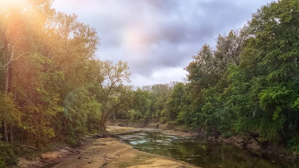
The photo at the top of this page is not Whittlesey Creek.
It is a regional stand-in, honestly captioned but generic — we will not put a name to a river we cannot prove. Send us a photograph you took here and it replaces the stand-in, with your credit on it.
Add a photo of this water
Landscape, not fish — the water itself. Reviewed by hand before it appears. The first one published here earns the Pioneer badge.
Fished this water? Add a photo
Reviewed by hand before it appears. Pick the water, not the spot — we never publish exact locations.
Access
Longbridge Road - the main public access, running south from Highway 13 to refuge land east of the highway.
Highway 13 - the boundary road and the usual reference point for finding the creek.
Long Bridge boat ramp - paddle access to the creek mouth and the Chequamegon Bay shoreline.
Town Hall Road - secondary access on the refuge's western side.
Terwilliger Road - access toward Terwilliger Creek, though that branch holds little game fishing.
Chequamegon Bay shoreline - the Lake Superior frontage where fish stage before running the creek.
Ashland - the nearest city, five miles southeast, with lodging, food and tackle.
Seasons
Spring: the season opens the first Saturday in May, with steelhead the main draw as the creek clears.
Summer: low and warm, with limited fishing and most fish holding out in the bay rather than the creek.
Fall: the best window, with coho and brown trout running up from Lake Superior into the lower creek.
Winter: the season closes on the fifteenth of November and the creek is shut through the cold months.
From the water
No logged trips yet. Be the first to put this water on your map.
Log this water
Fished it or cleaned it? Log in or create a free account to log a trip with photos and earn the waterway badge.
Questions
What is the current flow on the Whittlesey Creek?
As of Oct 18, 5:00 pm, the USGS gauge WHITTLESEY CREEK NEAR ASHLAND, WI reads 18 cfs. Conditions update every 15 minutes.
What species can you catch on the Whittlesey Creek?
Anglers target Brook Trout, Brown Trout, Coho Salmon, Rainbow Trout, Steelhead on the Whittlesey Creek in Wisconsin.
Where can you access the Whittlesey Creek?
Longbridge Road - the main public access, running south from Highway 13 to refuge land east of the highway. Highway 13 - the boundary road and the usual reference point for finding the creek. Long Bridge boat ramp - paddle access to the creek mouth and the Chequamegon Bay shoreline. Town Hall Road - secondary access on the refuge's western side. Terwilliger Road - access toward Terwilliger Creek, though that branch holds little game fishing. Chequamegon Bay shoreline - the Lake Superior frontage where fish stage before running the creek. Ashland - the nearest city, five miles southeast, with l...
When is the best time to fish the Whittlesey Creek?
Spring: the season opens the first Saturday in May, with steelhead the main draw as the creek clears. Summer: low and warm, with limited fishing and most fish holding out in the bay rather than the creek. Fall: the best window, with coho and brown trout running up from Lake Superior into the lower creek. Winter: the season closes on the fifteenth of November and the creek is shut through the cold months.
Where are the fishing regulations for the Whittlesey Creek?
Regulations change by season and section. Read the current rules on the Wisconsin agency site: https://dnr.wisconsin.gov/topic/fishing/regulations