Spencer Stream Fishing Guides
A remote Somerset County stream draining the Spencer Lakes to the Dead River, carrying wild brook trout in country with almost no permanent population.
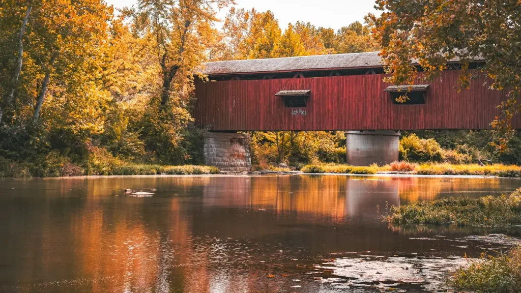
Guides on the Spencer Stream
Claimed profiles take booking requests. Unclaimed profiles are built from public records so the river is never empty; the guide can claim or remove one any time.
No guides listed yet
Guide or outfit this water? Create your profile. Listing is free, the commission is 10% or 7% with a premium profile, and premium profiles list first on this water.
About the Spencer Stream
Spencer Stream drains the Spencer Lakes country of western Somerset County and runs east to join the Dead River above Grand Falls. It is one of the larger tributaries in that system, with a drainage of roughly two hundred square miles, and it passes through unorganized township land with essentially no permanent population. Getting to it means driving gravel roads maintained by timber companies rather than the state, and that single logistical fact is what preserves the fishing. Anglers who make the effort are frequently the only people on the water, which is increasingly rare anywhere in New England.
The fishery is wild brook trout first and foremost. This is the heart of Maine’s brook trout country, the part of the state that holds the great majority of the remaining wild populations in the eastern United States, and Spencer Stream is a characteristic example: cold, tea-stained, boulder-strewn water running through spruce and fir. Landlocked salmon move up from the Dead River system, brown trout are present in smaller numbers, and fallfish and white sucker fill out the assemblage. The fish are not large by national standards but they are wild, and in this country that is the point.
The gauge near Grand Falls reports discharge and stage, and the stream behaves like the freestone drainage it is, rising fast on rain and snowmelt and dropping to low clear summer flows that concentrate fish in the deeper pockets. Because access depends on private timber roads, conditions and gate policies change, and checking locally before a trip is worth doing. Maine’s regulations for brook trout water include specific provisions on tackle and limits in parts of this region, and they should be read for the exact waters being fished rather than assumed from the general law.
This water needs a real photo
The photo at the top of this page is not Spencer Stream.
It is a regional stand-in, honestly captioned but generic — we will not put a name to a river we cannot prove. Send us a photograph you took here and it replaces the stand-in, with your credit on it.
Add a photo of this water
Landscape, not fish — the water itself. Reviewed by hand before it appears. The first one published here earns the Pioneer badge.
Fished this water? Add a photo
Reviewed by hand before it appears. Pick the water, not the spot — we never publish exact locations.
Access
Grand Falls - the gauge reach and the landmark drop on the Dead River just below the confluence.
Spencer Lakes - the headwater lakes at the top of the drainage and the source of the stream's name.
Dead River confluence - the downstream limit, where salmon move up out of the larger river.
The Forks - the nearest village of any size and the base for guides, shuttles and lodging in the region.
Spencer Road - the main timber-company gravel road providing access to the drainage.
Kennebec River corridor - the larger system the Dead feeds, and the usual route in from the south.
Jackman - the nearest town to the north, for supplies and as an alternative approach to the headwaters.
Seasons
Spring: snowmelt and high cold water, with access often limited by road conditions until the ground firms up.
Summer: the main season, with low clear water concentrating wild brook trout in the deeper pools and pocket water.
Fall: brook trout colour up and feed hard before spawning, and the country is at its best, though gates may close for hunting season.
Winter: deep snow and no practical access, with the drainage effectively closed until spring.
From the water
No logged trips yet. Be the first to put this water on your map.
Log this water
Fished it or cleaned it? Log in or create a free account to log a trip with photos and earn the waterway badge.
Questions
What is the current flow on the Spencer Stream?
As of Nov 2, 6:45 am, the USGS gauge Spencer Stream near Grand Falls, Maine reads 51 cfs. Conditions update every 15 minutes.
What species can you catch on the Spencer Stream?
Anglers target Brook Trout, Brown Trout, Fallfish, Landlocked Salmon, White Sucker on the Spencer Stream in Maine.
Where can you access the Spencer Stream?
Grand Falls - the gauge reach and the landmark drop on the Dead River just below the confluence. Spencer Lakes - the headwater lakes at the top of the drainage and the source of the stream's name. Dead River confluence - the downstream limit, where salmon move up out of the larger river. The Forks - the nearest village of any size and the base for guides, shuttles and lodging in the region. Spencer Road - the main timber-company gravel road providing access to the drainage. Kennebec River corridor - the larger system the Dead feeds, and the usual route in from the south. Jackman - the nearest...
When is the best time to fish the Spencer Stream?
Spring: snowmelt and high cold water, with access often limited by road conditions until the ground firms up. Summer: the main season, with low clear water concentrating wild brook trout in the deeper pools and pocket water. Fall: brook trout colour up and feed hard before spawning, and the country is at its best, though gates may close for hunting season. Winter: deep snow and no practical access, with the drainage effectively closed until spring.
Where are the fishing regulations for the Spencer Stream?
Regulations change by season and section. Read the current rules on the Maine agency site: https://www.maine.gov/ifw/fishing-boating/fishing/laws-rules/index.html