Fishes St. Croix River
River · Washington County, the Maine and New Brunswick border water from Vanceboro down through Grand Falls · Maine
St. Croix River Fishing Guides
The Maine and New Brunswick border river below Spednic Lake, one of the best smallmouth bass floats in the Northeast.
Map of the St. Croix River
15 numbered points: 5 access points, 2 bridges, 2 parks and conservation areas, 2 agency offices, 2 regulation section limits, 1 hazard, 1 USGS gauge. Tap a marker for details. Reviewed Sep 26, 2026.
- Access / boat ramp (5)
- Bridge crossing (2)
- Park / conservation area (2)
- Agency / conservation office (2)
- Regulation section limit (2)
- Dam / hazard (1)
- USGS gauge (1)
Map data © OpenStreetMap contributors. Points are curated from OpenStreetMap and state agency sources; confirm access and hours before you go.
Print it. Bag it. Bring it.Phones die, screens crack, and most of this water has no signal. Print this map, fold it into a zip-top bag or dry bag with your license, and you have a backup your electronics can’t give you. Every marker is numbered so you can say exactly where you are.
Open the printable mapAll 15 points on this map
| # | Point | Type | Lat, Lon | Notes |
|---|---|---|---|---|
| 1 | Boundary Road bridge Orient | upper St. Croix | Bridge crossing | 45.81678, -67.78055 | |
| 2 | Forest City Landing Spednic Road, Forest City | Access / boat ramp | 45.65734, -67.70210 | At the East Grand outlet into Spednic Lake. The state names a reach from Mud Lake to Spednic Lake here, but neither lake boundary is placeable on this centreline. |
| 3 | Vanceboro Water Street landing unnamed in OSM | Access / boat ramp | 45.57095, -67.42539 | |
| 4 | USGS gauge - St. Croix River at Vanceboro site 01018500 | USGS gauge | 45.56833, -67.42833 | The gauge this water page reads. Three more stations sit downstream at Baring, Milltown and Calais. |
| 5 | US Customs and Border Protection, Vanceboro port of entry | Agency / conservation office | 45.56824, -67.42948 | This is an international boundary river: the far bank is New Brunswick. Know where the ports of entry are before you cross anything. |
| 6 | Loon Bay Road landing Dyer Twp | unnamed in OSM | Access / boat ramp | 45.40717, -67.45104 | On the Spednic flowage; named from its access road by reverse geocode. |
| 7 | Reach limit - Grand Falls Dam, Baileyville upstream end | Regulation section limit | 45.26727, -67.47777 | Upstream end of the state’s named October reach, which runs down to the Milltown Dam. Placed at the Grand Falls canal dam, the mapped anchor; the powerhouse dam fishway beside it carries its own named closed zone. |
| 8 | Woodland Dam Baileyville | Dam / hazard | 45.15955, -67.40313 | The fishway and a named zone within 75 ft of any part of it are closed ground. |
| 9 | Elm Street landing, Baileyville unnamed in OSM | Access / boat ramp | 45.15398, -67.39277 | |
| 10 | Reach limit - Milltown Dam, Calais downstream end | Regulation section limit | 45.16998, -67.29676 | Downstream end of that same named reach. Placed at the Milltown crossing beside the dam; the state names no reach below here to the head of tide. |
| 11 | Ferry Point Bridge (ME 9) Calais - St. Stephen | international crossing | Bridge crossing | 45.19155, -67.28348 | |
| 12 | US Customs Office, Calais port of entry | Agency / conservation office | 45.19085, -67.28345 | |
| 13 | Calais waterfront landing Waterfront Park Way | unnamed in OSM | Access / boat ramp | 45.19025, -67.27622 | |
| 14 | Flat Iron Park Calais | Park / conservation area | 45.18930, -67.27722 | |
| 15 | Saint Croix Island International Historic Site National Park Service | Park / conservation area | 45.12418, -67.14750 | The NPS visitor centre for the island stands at this point; the island itself lies offshore. |
Guides on the St. Croix River
Claimed profiles take booking requests. Unclaimed profiles are built from public records so the river is never empty; the guide can claim or remove one any time.
Order on this page: premium and outfitter plans first (labelled Premium placement), then claimed free profiles, then unclaimed — one published price, no bidding for position. How placement works
About the St. Croix River
The St. Croix River forms the international border between eastern Maine and New Brunswick, and the gauge at Vanceboro sits at the outlet of Spednic Lake where the river proper begins. Below that outlet the river runs south through a corridor of undeveloped forest toward Grand Falls Flowage and eventually Calais and Passamaquoddy Bay. Very little of the land along it is developed, and the float from Vanceboro down is one of the best-known multi-day canoe trips in the Northeast.
The smallmouth bass fishing is what carries the river’s reputation. The population is dense, the fish are willing, and the water is shallow and broken enough that they can be caught on the surface through much of the summer. It is a river where a beginner can have a genuinely good day and an experienced angler can fish hard and still be surprised. Landlocked salmon are present, chain pickerel are common in the slower flowages, and brook trout hold in the colder feeder streams.
Flow on the St. Croix is managed at the Vanceboro dam, so the gauge reading is a release figure as much as a runoff figure. Paddlers and anglers watch it closely because the character of the river between Vanceboro and Little Falls changes substantially with a few hundred cubic feet per second either way. A low release exposes ledges and slows the trip; a high one makes the rips pushy and the fishing harder to read.
Access is concentrated at a few points because of the border and the forest ownership through the corridor. Vanceboro at the top and the landings around Grand Falls Flowage at the bottom are the practical ends of most trips, with Loon Bay and the campsites along the way serving as intermediate stops for those floating the full run.
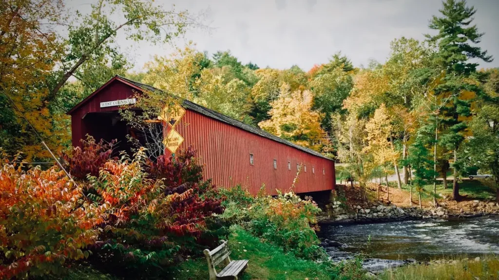
This water needs a real photo
The photo at the top of this page is not St. Croix River.
It is a regional stand-in, honestly captioned but generic — we will not put a name to a river we cannot prove. Send us a photograph you took here and it replaces the stand-in, with your credit on it.
Pioneer badgeUnclaimed
Add a photo of this water
Landscape, not fish — the water itself. Reviewed by hand before it appears. The first one published here earns the Pioneer badge.
Fished this water? Add a photo
Reviewed by hand before it appears. Pick the water, not the spot — we never publish exact locations.
Access
Vanceboro - the gauge reach and the standard put-in at the Spednic Lake outlet.
Spednic Lake - the large flowage above the dam, with launch access.
Little Falls - a rip below Vanceboro reached from the river.
Loon Bay - an intermediate access point on the middle river.
Grand Falls Flowage - the downstream flowage with several public landings.
Kellyland - lower-river access near the Grand Falls dam.
Calais - the tidal end of the system, below the freshwater river.
Seasons
Spring: high, cold water with the smallmouth fishing arriving late in the month of May.
Summer: the peak season, with surface fishing for smallmouth through the rips and flats.
Fall: cooling water, fewer paddlers, and smallmouth feeding hard before the close.
Winter: the river is locked up and fishing moves to the ice on the flowages.
From the water
No logged trips yet. Be the first to put this water on your map.
Log this water
Fished it or cleaned it? Log in or create a free account to log a trip with photos and earn the waterway badge.
Questions
What is the current flow on the St. Croix River?
As of Nov 2, 6:45 am, the USGS gauge St. Croix River at Vanceboro, Maine reads 369 cfs. Conditions update every 15 minutes.
What species can you catch on the St. Croix River?
Anglers target Brook Trout, Chain Pickerel, Landlocked Atlantic Salmon, Muskellunge, Smallmouth Bass on the St. Croix River in Maine.
Are there fishing guides on the St. Croix River?
GuidedFloats lists 1 guide and outfitters on the St. Croix River. Claimed profiles accept booking requests; unclaimed profiles are built from public records and link to the business.
Where can you access the St. Croix River?
Vanceboro - the gauge reach and the standard put-in at the Spednic Lake outlet. Spednic Lake - the large flowage above the dam, with launch access. Little Falls - a rip below Vanceboro reached from the river. Loon Bay - an intermediate access point on the middle river. Grand Falls Flowage - the downstream flowage with several public landings. Kellyland - lower-river access near the Grand Falls dam. Calais - the tidal end of the system, below the freshwater river.
When is the best time to fish the St. Croix River?
Spring: high, cold water with the smallmouth fishing arriving late in the month of May. Summer: the peak season, with surface fishing for smallmouth through the rips and flats. Fall: cooling water, fewer paddlers, and smallmouth feeding hard before the close. Winter: the river is locked up and fishing moves to the ice on the flowages.
Where are the fishing regulations for the St. Croix River?
Regulations change by season and section. Read the current rules on the Maine agency site: https://www.maine.gov/ifw/fishing-boating/fishing/laws-rules.html