South Saluda River Fishing Guides
A steep Blue Ridge Escarpment trout river below Caesars Head and Table Rock, one of the few genuinely coldwater streams in South Carolina.
Guides on the South Saluda River
Claimed profiles take booking requests. Unclaimed profiles are built from public records so the river is never empty; the guide can claim or remove one any time.
No guides listed yet
Guide or outfit this water? Create your profile. Listing is free, the commission is 10% or 7% with a premium profile, and premium profiles list first on this water.
About the South Saluda River
South Carolina is not a trout state in the way North Carolina or Georgia are, and the handful of streams that hold trout are concentrated in a narrow band along the Blue Ridge Escarpment in the northwest corner. The South Saluda is one of the best of them. It falls off the escarpment below Caesars Head, runs past Rocky Bottom through a steep forested valley, and gathers volume quickly as feeder streams come in from either side. The gradient is real: this is pocket water, plunge pools, boulder gardens and short runs rather than the long flat glides of a tailwater.
Rainbow trout are the most numerous fish and are stocked heavily in the accessible reaches, with holdovers growing well in the better water. Brown trout are present and hold in the deeper pools and undercuts, and the wild fish in this system are often browns rather than rainbows. Brook trout occupy the small, cold, high feeder streams above, where a short hike gets you into genuinely wild fish in tight quarters. Lower down, where the water warms, redbreast sunfish, rock bass and the occasional smallmouth bass take over and the river stops being trout water.
Flow and temperature drive the fishing. This is a freestone system with no dam to buffer it, so it rises hard after mountain rain and drops to a trickle in a dry late summer, and the gauge near Rocky Bottom is the number to check. Summer heat pushes trout into the coldest water and the fishing can shut down in the lower reaches entirely. Access runs along US 276 and the surrounding state land, and nearly all guided work here is wade fishing rather than floating.
This water needs a real photo
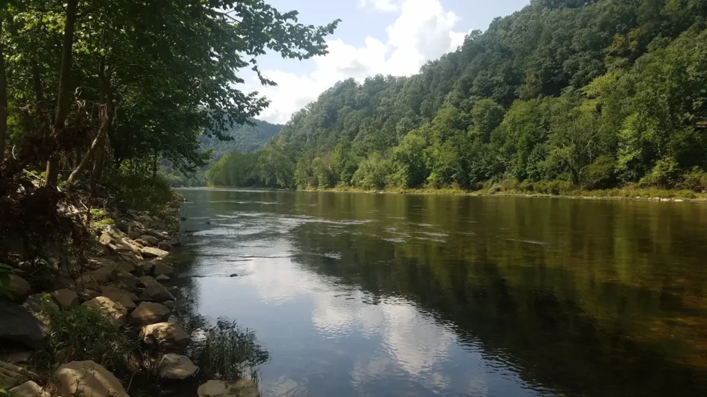
The photo at the top of this page is not South Saluda River.
It is a regional stand-in, honestly captioned but generic — we will not put a name to a river we cannot prove. Send us a photograph you took here and it replaces the stand-in, with your credit on it.
Add a photo of this water
Landscape, not fish — the water itself. Reviewed by hand before it appears. The first one published here earns the Pioneer badge.
Fished this water? Add a photo
Reviewed by hand before it appears. Pick the water, not the spot — we never publish exact locations.
Access
Rocky Bottom - the gauge location and the main reference point on the upper river.
US 276 corridor - the highway along the valley, with repeated pullouts and wade entries.
Caesars Head State Park - escarpment state park at the head of the watershed.
Table Rock State Park - the adjoining state park, with lodging, camping and trail access.
Jones Gap State Park - public land on the neighbouring Middle Saluda, with trail access to water.
Mountain Bridge Wilderness - the surrounding protected area linking the escarpment parks.
Cleveland - the small community downstream, the nearest point for supplies.
Seasons
Spring: the best season, with good flow, active fish and the strongest hatches of the year.
Summer: low and warm in the lower reaches, pushing the fishing high into the cold feeder water.
Fall: cooling water brings browns onto the feed and the escarpment colour draws crowds.
Winter: cold and often high after rain, with deep nymphing on milder days the realistic approach.
From the water
No logged trips yet. Be the first to put this water on your map.
Log this water
Fished it or cleaned it? Log in or create a free account to log a trip with photos and earn the waterway badge.
Questions
What is the current flow on the South Saluda River?
As of Nov 2, 7:45 am, the USGS gauge SOUTH SALUDA RIVER NEAR ROCKY BOTTOM, SC reads 10 cfs, with water temperature 54.5 F. Conditions update every 15 minutes.
What species can you catch on the South Saluda River?
Anglers target Brook Trout, Brown Trout, Creek Chub, Rainbow Trout, Redbreast Sunfish, Rock Bass, Smallmouth Bass on the South Saluda River in South Carolina.
Where can you access the South Saluda River?
Rocky Bottom - the gauge location and the main reference point on the upper river. US 276 corridor - the highway along the valley, with repeated pullouts and wade entries. Caesars Head State Park - escarpment state park at the head of the watershed. Table Rock State Park - the adjoining state park, with lodging, camping and trail access. Jones Gap State Park - public land on the neighbouring Middle Saluda, with trail access to water. Mountain Bridge Wilderness - the surrounding protected area linking the escarpment parks. Cleveland - the small community downstream, the nearest point for suppli...
When is the best time to fish the South Saluda River?
Spring: the best season, with good flow, active fish and the strongest hatches of the year. Summer: low and warm in the lower reaches, pushing the fishing high into the cold feeder water. Fall: cooling water brings browns onto the feed and the escarpment colour draws crowds. Winter: cold and often high after rain, with deep nymphing on milder days the realistic approach.
Where are the fishing regulations for the South Saluda River?
Regulations change by season and section. Read the current rules on the South Carolina agency site: https://www.dnr.sc.gov/regulations.html