Fishes Kings River
River · Ozarks · Arkansas
Kings River Fishing Guides
A free-flowing Ozark smallmouth stream running north from the Boston Mountains through bluff-lined bends to Table Rock Lake, best floated in spring.
Map of the Kings River
13 numbered points: 5 access points, 1 campsite, 1 outfitter, 3 bridges, 1 park or conservation area, 1 USGS gauge, 1 point of interest. Tap a marker for details. Reviewed Sep 7, 2026.
- Access / boat ramp (5)
- Campsite (1)
- Outfitter / canoe rental (1)
- Bridge crossing (3)
- Park / conservation area (1)
- USGS gauge (1)
- Point of interest (1)
Map data © OpenStreetMap contributors. Points are curated from OpenStreetMap and state agency sources; confirm access and hours before you go.
Print it. Bag it. Bring it.Phones die, screens crack, and most of this water has no signal. Print this map, fold it into a zip-top bag or dry bag with your license, and you have a backup your electronics can’t give you. Every marker is numbered so you can say exactly where you are.
Open the printable mapAll 13 points on this map
| # | Point | Type | Lat, Lon | Notes |
|---|---|---|---|---|
| 1 | Kings River headwaters (Boston Mountains) Source reach near Boston · Kings River Falls Natural Area a few miles below | Point of interest | 35.97742, -93.54241 | Class III whitewater from Dripping Springs to AR 74 in high water only; not a fishing float. |
| 2 | AR 74 bridge near Kingston Arkansas Highway 74 | Bridge crossing | 36.01820, -93.53941 | Bottom of the upper whitewater run. |
| 3 | AR 21 bridge Arkansas Highway 21 | Bridge crossing | 36.08830, -93.54183 | |
| 4 | US 412 bridge at Marble US Highway 412 | Bridge crossing | 36.13721, -93.58131 | Marble is the usual top of the smallmouth floats when there is enough water. |
| 5 | Marshall Ford Low-water bridge crossing (Madison County Road 1505) | Access / boat ramp | 36.18996, -93.65163 | Put-in for the long Marshall Ford–Rockhouse float (about 15.7 miles). Placed at the county-road bridge. |
| 6 | Rockhouse Access Rockhouse Road low-water crossing | Access / boat ramp | 36.28007, -93.66287 | Rockhouse–Trigger Gap is about 7.7 miles. Approximate location, placed by river mile. |
| 7 | Kings River Outfitters 8190 Hwy 221, Eureka Springs · canoe & kayak rental, shuttles, camping | Outfitter / canoe rental | 36.31519, -93.66683 | At the Trigger Gap bridge. |
| 8 | Trigger Gap (AR 221 bridge) Arkansas Highway 221 crossing · outfitter accesses on both sides | Access / boat ramp | 36.31610, -93.66407 | Busiest put-in on the river. Trigger Gap–US 62 is about 12.9 miles of the best smallmouth water. |
| 9 | US 62 bridge access US Highway 62 west of Berryville · public access | Access / boat ramp | 36.39453, -93.63648 | Common take-out; the river slows toward Table Rock Lake below here. |
| 10 | AR 143 bridge (Grandview) access Arkansas Highway 143 crossing south of Grandview | Access / boat ramp | 36.42668, -93.62341 | Last road access above the Table Rock Lake arm. |
| 11 | USGS 07050500 Kings River near Berryville At the AR 143 bridge | USGS gauge | 36.42722, -93.62083 | Check this gauge before a Marble or Marshall Ford start; the upper floats go thin in summer. |
| 12 | Kings River Public Use Area USACE · Table Rock Lake arm, ramp | Park / conservation area | 36.55217, -93.61040 | The river is lake water from here down. |
| 13 | Viola Public Use Area USACE · campground and ramp on the Kings River arm of Table Rock Lake | Campsite | 36.56202, -93.59586 |
Guides on the Kings River
Claimed profiles take booking requests. Unclaimed profiles are built from public records so the river is never empty; the guide can claim or remove one any time.
About the Kings River
The Kings River is one of the last undammed streams in the Arkansas Ozarks, running north out of the Boston Mountains through Madison and Carroll counties to Table Rock Lake in Missouri. It is a bluff-and-gravel river, clear and shallow, with towering limestone walls on the outside of the bends and long gravel bars on the inside, and it is the kind of water that people who love Ozark smallmouth fishing consider close to perfect.
Smallmouth bass are the reason to be here. They hold on the current seams below every riffle and against the bluff faces in the deeper pools, and a fly rod with a popper or a light spinning rod with a tube jig covers the whole trip. Spotted and largemouth bass mix in, bream are everywhere in summer, and the Kings River Falls Natural Area at the top of the drainage is worth the walk. There are no dams and no reservoir influence, so the fishing is entirely about rainfall and season.
The Berryville gauge is the number that decides the day. Roughly 100 to 500 cfs is comfortable float water with defined riffles. Late-summer readings can drop into the tens of cfs, which means a walk-and-drag trip rather than a float, and spring rain can push it into the thousands and make the bends fast and pushy. This is a flashy Ozark river: it rises fast, drops fast, and clears within a couple of days.
Berryville, Marble and Eureka Springs are the nearest towns, with several liveries running shuttles in season. Access is a series of low-water bridges and gravel-bar landings, and the last few miles into Table Rock are slower, deeper water.
This water needs a real photo
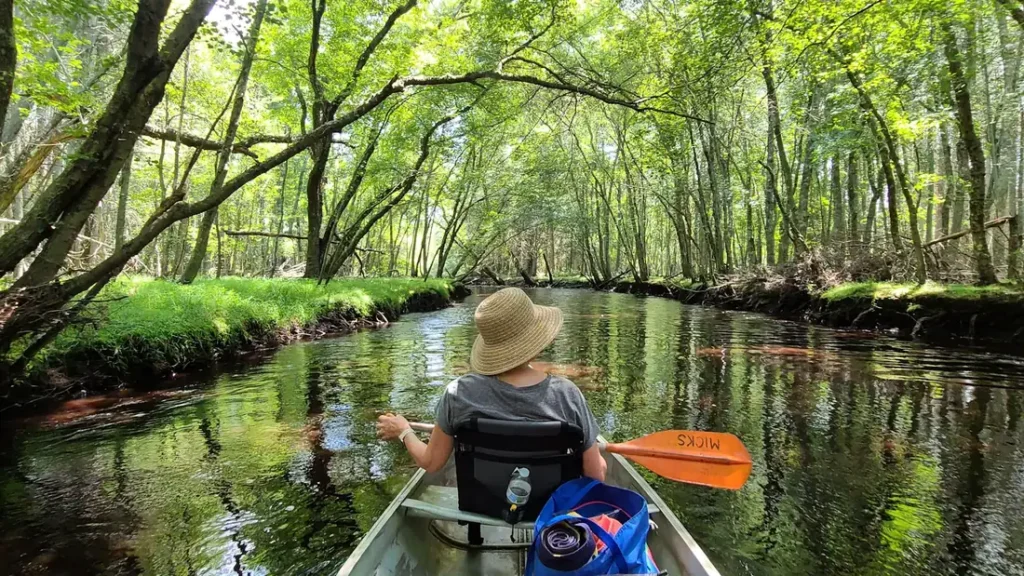
The photo at the top of this page is not Kings River.
It is a regional stand-in, honestly captioned but generic — we will not put a name to a river we cannot prove. Send us a photograph you took here and it replaces the stand-in, with your credit on it.
Pioneer badgeUnclaimed
Add a photo of this water
Landscape, not fish — the water itself. Reviewed by hand before it appears. The first one published here earns the Pioneer badge.
Fished this water? Add a photo
Reviewed by hand before it appears. Pick the water, not the spot — we never publish exact locations.
Access
Kings River Falls Natural Area: headwater access and a short hike to the falls.
Marble and Marshall Ford: upper river low-water bridge accesses.
Trigger Gap: the most-used put-in on the middle river.
Rockhouse and Grandview: mid-river gravel bar accesses.
Berryville area: access near the gauge.
Kings River Access on Highway 62: the standard lower launch.
Table Rock Lake: the bottom of the river, slow deep water into the lake.
Seasons
March through May: the reliable float season, good flow and prespawn smallmouth.
June: still floatable most years, warm water and topwater fishing.
July through September: usually too low to float; wade the riffles and pools instead.
October and November: fall rain can reopen the float window, with the best smallmouth fishing of the year.
From the water
No logged trips yet. Be the first to put this water on your map.
Log this water
Fished it or cleaned it? Log in or create a free account to log a trip with photos and earn the waterway badge.
Questions
What is the current flow on the Kings River?
As of Oct 18, 5:15 pm, the USGS gauge Kings River near Berryville, AR reads 68 cfs, the 57th percentile for this date. Conditions update every 15 minutes.
What species can you catch on the Kings River?
Anglers target Bluegill, Channel Catfish, Largemouth Bass, Longear Sunfish, Smallmouth Bass, Spotted Bass on the Kings River in Arkansas.
Are there fishing guides on the Kings River?
GuidedFloats lists 1 guide and outfitters on the Kings River. Claimed profiles accept booking requests; unclaimed profiles are built from public records and link to the business.
Where can you access the Kings River?
Kings River Falls Natural Area: headwater access and a short hike to the falls. Marble and Marshall Ford: upper river low-water bridge accesses. Trigger Gap: the most-used put-in on the middle river. Rockhouse and Grandview: mid-river gravel bar accesses. Berryville area: access near the gauge. Kings River Access on Highway 62: the standard lower launch. Table Rock Lake: the bottom of the river, slow deep water into the lake.
When is the best time to fish the Kings River?
March through May: the reliable float season, good flow and prespawn smallmouth. June: still floatable most years, warm water and topwater fishing. July through September: usually too low to float; wade the riffles and pools instead. October and November: fall rain can reopen the float window, with the best smallmouth fishing of the year.
Where are the fishing regulations for the Kings River?
Regulations change by season and section. Read the current rules on the Arkansas agency site: https://www.agfc.com/regulations/general-fishing-regulations/