Fishes Gallatin River
River · Southwest Montana · Montana
Gallatin River Fishing Guides
A wade-only freestone running out of Yellowstone through the Gallatin Canyon past Big Sky to Bozeman, pocket water the whole way and no boats allowed.
Map of the Gallatin River
6 numbered points: 5 access points, 1 USGS gauge. Tap a marker for details. Reviewed Sep 7, 2026.
- Access / boat ramp (5)
- USGS gauge (1)
Map data © OpenStreetMap contributors. Points are curated from OpenStreetMap and state agency sources; confirm access and hours before you go.
Print it. Bag it. Bring it.Phones die, screens crack, and most of this water has no signal. Print this map, fold it into a zip-top bag or dry bag with your license, and you have a backup your electronics can’t give you. Every marker is numbered so you can say exactly where you are.
Open the printable mapAll 6 points on this map
| # | Point | Type | Lat, Lon | Notes |
|---|---|---|---|---|
| 1 | USGS gauge 06043500 — Gallatin River near Gallatin Gateway Real-time flow and stage | USGS gauge | 45.49730, -111.27071 | Check it before you launch. Station is in the lower canyon above Gallatin Gateway. |
| 2 | Kirk Wildlife Refuge Fishing Access Site Montana FWP · walk-in | Access / boat ramp | 45.51036, -111.26106 | 5 miles south of Gallatin Gateway on Hwy 191, just north of the Spanish Creek Road turnoff. A riverfront strip, fishing access only. |
| 3 | Axtell Bridge Fishing Access Site Montana FWP · hand launch | Access / boat ramp | 45.62339, -111.20486 | 4.3 miles south of Four Corners on Hwy 191 to Axtell Bridge Road. |
| 4 | Shed's Bridge Fishing Access Site Montana FWP | Access / boat ramp | 45.67378, -111.20919 | 7 miles west of Bozeman on Hwy 84. |
| 5 | Cameron Bridge Fishing Access Site Montana FWP | Access / boat ramp | 45.73773, -111.22012 | 2 miles south of Belgrade on Hwy 85 at mile marker 5, then 2 miles west on West Cameron Bridge Road. |
| 6 | Erwin Bridge Fishing Access Site Montana FWP · walk-in | Access / boat ramp | 45.76922, -111.23904 | 4 miles west of Belgrade on Amsterdam Road (Route 347). Toilet, no ramp. |
Guides on the Gallatin River
Claimed profiles take booking requests. Unclaimed profiles are built from public records so the river is never empty; the guide can claim or remove one any time.
About the Gallatin River
The Gallatin starts in Yellowstone National Park, runs north through the Gallatin Canyon past Big Sky, and opens into the valley above Bozeman before joining the Madison and Jefferson at Three Forks to form the Missouri. It is the odd river out among Montana’s famous trout streams because fishing from a boat is prohibited on most of it, which means every fish in the Gallatin is caught by somebody standing in it.
That restriction is the river’s gift. Highway 191 follows the canyon for forty miles with pullouts every few hundred yards, and an angler can fish a hundred different pieces of pocket water in a day without seeing another person in the water. Rainbows, browns and cutthroat hold in the seams behind boulders, the fish are not large by Montana standards, and they are willing. The salmonfly hatch in early July and the fall streamer fishing are the two events worth planning around, and the meadow water inside the park is a quieter, smaller-stream experience.
The Gallatin Gateway gauge reads the river as it leaves the canyon. Roughly 300 to 900 cfs is comfortable wading; runoff in late May and June can push it past 2,000, when the canyon runs brown and the whitewater rafts take over. Late summer drops it low and clear, which makes for easy wading and spooky fish, and irrigation diversion affects the valley reaches below the canyon.
Bozeman and Big Sky bracket the river, and the drive between them is the access. Fly shops in both towns, easy roadside parking and no boat required make this the most approachable of the three rivers around Bozeman.
This water needs a real photo
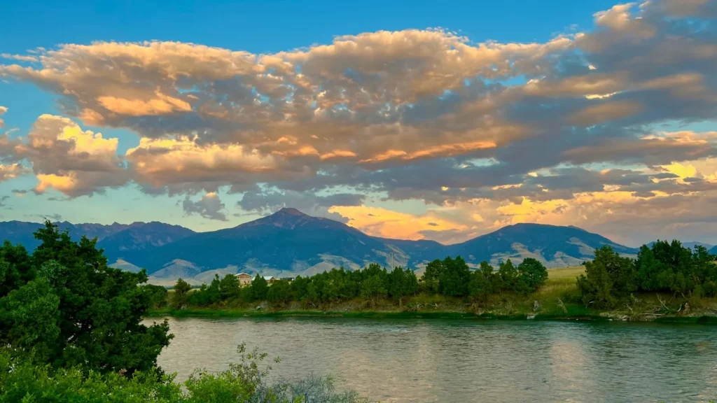
The photo at the top of this page is not Gallatin River.
It is a regional stand-in, honestly captioned but generic — we will not put a name to a river we cannot prove. Send us a photograph you took here and it replaces the stand-in, with your credit on it.
Pioneer badgeUnclaimed
Add a photo of this water
Landscape, not fish — the water itself. Reviewed by hand before it appears. The first one published here earns the Pioneer badge.
Fished this water? Add a photo
Reviewed by hand before it appears. Pick the water, not the spot — we never publish exact locations.
Access
Yellowstone National Park: the headwaters and the meadow reaches, park regulations apply.
Taylor Fork and Sage Creek: upper canyon access along Highway 191.
Big Sky and the Storm Castle area: mid-canyon pullouts and popular water.
House Rock and the Mad Mile: canyon whitewater reaches with good pocket fishing.
Gallatin Gateway: access near the gauge where the canyon opens.
Axtell Bridge and Cameron Bridge: valley access below the canyon.
Fishing from a boat is prohibited on most of the river; plan to wade.
Seasons
Year-round on the lower river; the park section follows park season dates.
April and May: pre-runoff fishing, then high, off-color water.
Late June and July: salmonflies as the river drops, the best weeks of the season.
August through October: terrestrials, low clear water, then brown trout on streamers in the fall.
From the water
No logged trips yet. Be the first to put this water on your map.
Log this water
Fished it or cleaned it? Log in or create a free account to log a trip with photos and earn the waterway badge.
Questions
What is the current flow on the Gallatin River?
As of Oct 18, 6:00 pm, the USGS gauge Gallatin River near Gallatin Gateway, MT reads 360 cfs, the 19th percentile for this date. Conditions update every 15 minutes.
What species can you catch on the Gallatin River?
Anglers target Brook Trout, Brown Trout, Cutthroat Trout, Mountain Whitefish, Rainbow Trout on the Gallatin River in Montana.
Are there fishing guides on the Gallatin River?
GuidedFloats lists 2 guides and outfitters on the Gallatin River. Claimed profiles accept booking requests; unclaimed profiles are built from public records and link to the business.
Where can you access the Gallatin River?
Yellowstone National Park: the headwaters and the meadow reaches, park regulations apply. Taylor Fork and Sage Creek: upper canyon access along Highway 191. Big Sky and the Storm Castle area: mid-canyon pullouts and popular water. House Rock and the Mad Mile: canyon whitewater reaches with good pocket fishing. Gallatin Gateway: access near the gauge where the canyon opens. Axtell Bridge and Cameron Bridge: valley access below the canyon. Fishing from a boat is prohibited on most of the river; plan to wade.
When is the best time to fish the Gallatin River?
Year-round on the lower river; the park section follows park season dates. April and May: pre-runoff fishing, then high, off-color water. Late June and July: salmonflies as the river drops, the best weeks of the season. August through October: terrestrials, low clear water, then brown trout on streamers in the fall.
Where are the fishing regulations for the Gallatin River?
Regulations change by season and section. Read the current rules on the Montana agency site: https://fwp.mt.gov/fish/regulations