Conecuh River Fishing Guides
A tannin-stained south Alabama river running white sandbars and cypress bends through the Conecuh National Forest toward the Florida line and Escambia Bay.
Guides on the Conecuh River
Claimed profiles take booking requests. Unclaimed profiles are built from public records so the river is never empty; the guide can claim or remove one any time.
No guides listed yet
Guide or outfit this water? Create your profile. Listing is free, the commission is 10% or 7% with a premium profile, and premium profiles list first on this water.
About the Conecuh River
The Conecuh rises in Bullock County and runs roughly two hundred and thirty miles southwest across the Alabama coastal plain, crossing into Florida below Century where it becomes the Escambia River and empties into Escambia Bay. The USGS gauge at the State Highway 41 crossing near Brewton watches about twenty-six hundred square miles, which makes it the reliable flow reference for the lower two-thirds of the river. It reports discharge and stage and carries no active temperature series, so trip planning here runs on stage and recent rainfall.
What the river looks like is classic Gulf coastal plain. The water is tea-colored from tannin, the bends are lined with cypress and tupelo, and the inside of nearly every meander carries a broad white sand bar. Those bars are the reason the Conecuh has a real paddling and camping culture: they make natural campsites, and a multi-day float with overnight stops on sand is the signature trip. Much of the middle river runs through or alongside the Conecuh National Forest, which keeps the corridor undeveloped for long stretches.
The fishing is warmwater and generous. Largemouth and spotted bass hold on cypress knees, undercut banks and woody structure, and the river carries a strong catfish population, with channel, flathead and blue catfish all present and flatheads reaching serious size in the deeper bends. Bluegill, redear sunfish, longear sunfish and black crappie fill out the panfish end, and the sloughs and oxbows off the main channel fish well in warm months.
Flow is the practical constraint. Summer levels can drop far enough to force dragging over shoals and sandbars, while winter and spring rain pushes the river into the swamp and makes both landing and camping difficult. Late spring and early fall generally give the best combination of floatable water and usable sand.
This water needs a real photo
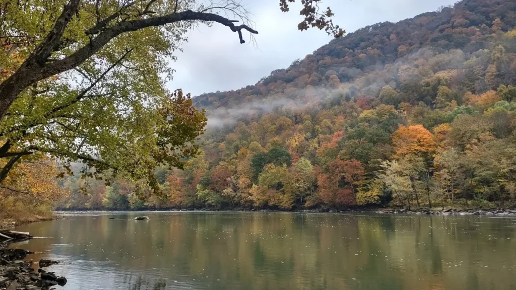
The photo at the top of this page is not Conecuh River.
It is a regional stand-in, honestly captioned but generic — we will not put a name to a river we cannot prove. Send us a photograph you took here and it replaces the stand-in, with your credit on it.
Add a photo of this water
Landscape, not fish — the water itself. Reviewed by hand before it appears. The first one published here earns the Pioneer badge.
Fished this water? Add a photo
Reviewed by hand before it appears. Pick the water, not the spot — we never publish exact locations.
Access
State Highway 41 bridge near Brewton - the gauge site and a common put-in for the lower river.
Gantt and Point A areas upstream - tailrace water below the two power dams on the upper river.
Conecuh National Forest crossings on Forest Service roads - remote put-ins for multi-day floats.
Brooklyn bridge access - a popular start for the forest section.
River Falls and Andalusia area landings - upper-river access with easier road support.
Burnt Corn Creek confluence area - tributary water and additional catfish habitat.
Century, Florida crossing near the state line - the usual downstream takeout before the Escambia.
Seasons
Spring: high, stable water and the best bass fishing, though sandbars stay flooded early.
Summer: low and warm; excellent sandbar camping but shoals may require dragging.
Fall: falling water, clearing color and the most comfortable float conditions of the year.
Winter: cold and often high after frontal rain; catfish still bite in the deep bends.
From the water
No logged trips yet. Be the first to put this water on your map.
Log this water
Fished it or cleaned it? Log in or create a free account to log a trip with photos and earn the waterway badge.
Questions
What is the current flow on the Conecuh River?
As of Sep 17, 5:30 am, the USGS gauge CONECUH RIVER AT STATE HWY 41 NEAR BREWTON, AL. reads 329 cfs. Conditions update every 15 minutes.
What species can you catch on the Conecuh River?
Anglers target Black Crappie, Blue Catfish, Bluegill, Channel Catfish, Flathead Catfish, Largemouth Bass, Longear Sunfish, Redear Sunfish, Spotted Bass on the Conecuh River in Alabama.
Where can you access the Conecuh River?
State Highway 41 bridge near Brewton - the gauge site and a common put-in for the lower river. Gantt and Point A areas upstream - tailrace water below the two power dams on the upper river. Conecuh National Forest crossings on Forest Service roads - remote put-ins for multi-day floats. Brooklyn bridge access - a popular start for the forest section. River Falls and Andalusia area landings - upper-river access with easier road support. Burnt Corn Creek confluence area - tributary water and additional catfish habitat. Century, Florida crossing near the state line - the usual downstream takeout b...
When is the best time to fish the Conecuh River?
Spring: high, stable water and the best bass fishing, though sandbars stay flooded early. Summer: low and warm; excellent sandbar camping but shoals may require dragging. Fall: falling water, clearing color and the most comfortable float conditions of the year. Winter: cold and often high after frontal rain; catfish still bite in the deep bends.
Where are the fishing regulations for the Conecuh River?
Regulations change by season and section. Read the current rules on the Alabama agency site: https://www.outdooralabama.com/fishing/freshwater-fishing-creel-and-size-limits