Warm Springs Creek Fishing Guides
A spring-fed Big Lost River tributary below Mackay, running clear and cold off the White Knob country with a gauge below the irrigation diversion that shows exactly how much water is left in the creek.
Guides on the Warm Springs Creek
Claimed profiles take booking requests. Unclaimed profiles are built from public records so the river is never empty; the guide can claim or remove one any time.
No guides listed yet
Guide or outfit this water? Create your profile. Listing is free, the commission is 10% or 7% with a premium profile, and premium profiles list first on this water.
About the Warm Springs Creek
Warm Springs Creek runs into the Big Lost River valley below Mackay, and it is a different animal from the Montana creek of the same name. This one is fed by springs at the foot of the White Knob Mountains, which gives it clarity and a cold, even temperature that the Big Lost itself loses in a hot August. It is small water by any measure, the kind of creek a competent angler can cross in two strides, but the fish in it are wild and the setting between the Lost River Range and the White Knobs is as good as eastern Idaho offers.
The gauge sits below an irrigation diversion, and that placement is the single most important thing to know about the creek. What the gauge reads is not what the springs produce, it is what is left after the ditches have taken their share, and in the heart of the irrigation season that difference is substantial. A low summer reading does not mean the springs have failed. It means the water is in the hay fields. Anglers who check the number before driving out will know whether they are going to fish a creek or a trickle, and in a drought year the answer can change week to week.
Rainbow trout are the dominant fish, brook trout hold in the smaller upper water, and mountain whitefish move up out of the Big Lost. None of them are large by Idaho standards and that is not the point. This is short-line, small-fly fishing in clear water where the fish can see everything, and a careful approach matters far more than a long cast. The valley is open range and public land is mixed with private hay ground, so gates and fences should be treated with respect.
This water needs a real photo
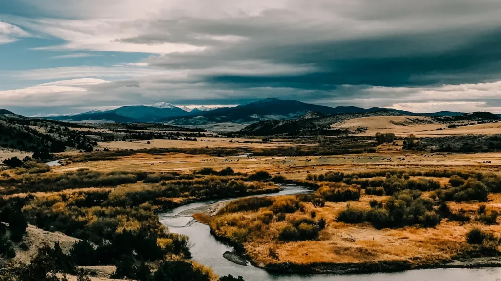
The photo at the top of this page is not Warm Springs Creek.
It is a regional stand-in, honestly captioned but generic — we will not put a name to a river we cannot prove. Send us a photograph you took here and it replaces the stand-in, with your credit on it.
Add a photo of this water
Landscape, not fish — the water itself. Reviewed by hand before it appears. The first one published here earns the Pioneer badge.
Fished this water? Add a photo
Reviewed by hand before it appears. Pick the water, not the spot — we never publish exact locations.
Access
Mackay - the town at the heart of the Big Lost valley, with fuel, food, lodging and the nearest tackle. / Big Lost River confluence - the downstream end, where the creek joins the main river below town. / Trail Creek Road - the route west into the White Knob country and the upper drainage. / US 93 - the highway through the valley and the main approach from Arco or Challis. / Mackay Reservoir - the nearby impoundment, a useful alternative when the creek is drawn down by irrigation. / Irrigation diversion - the structure at the gauge, a clear landmark and the dividing line between full and reduced flow. / Custer County gravel roads - the local network reaching the creek, rough but passable in a high-clearance vehicle.
Seasons
Spring: runoff and irrigation start together, so flows swing hard and the creek can be off-colour well into June. / Summer: the diversion is at full draw and the gauge reading is essential, but when water is present the cold spring flow fishes beautifully through the hottest weeks. / Fall: ditches close and the creek comes back up, which makes September and October the most reliable months of the year here. / Winter: cold, low and largely inaccessible, with valley roads drifted and the fishing effectively over.
From the water
No logged trips yet. Be the first to put this water on your map.
Log this water
Fished it or cleaned it? Log in or create a free account to log a trip with photos and earn the waterway badge.
Questions
What is the current flow on the Warm Springs Creek?
As of Oct 18, 4:30 pm, the USGS gauge WARM SPRINGS CREEK BELOW DIVERSION NR MACKAY ID reads 40 cfs. Conditions update every 15 minutes.
What species can you catch on the Warm Springs Creek?
Anglers target Brook Trout, Brown Trout, Mountain Whitefish, Rainbow Trout on the Warm Springs Creek in Idaho.
Where can you access the Warm Springs Creek?
Mackay - the town at the heart of the Big Lost valley, with fuel, food, lodging and the nearest tackle. / Big Lost River confluence - the downstream end, where the creek joins the main river below town. / Trail Creek Road - the route west into the White Knob country and the upper drainage. / US 93 - the highway through the valley and the main approach from Arco or Challis. / Mackay Reservoir - the nearby impoundment, a useful alternative when the creek is drawn down by irrigation. / Irrigation diversion - the structure at the gauge, a clear landmark and the dividing line between full and reduc...
When is the best time to fish the Warm Springs Creek?
Spring: runoff and irrigation start together, so flows swing hard and the creek can be off-colour well into June. / Summer: the diversion is at full draw and the gauge reading is essential, but when water is present the cold spring flow fishes beautifully through the hottest weeks. / Fall: ditches close and the creek comes back up, which makes September and October the most reliable months of the year here. / Winter: cold, low and largely inaccessible, with valley roads drifted and the fishing effectively over.
Where are the fishing regulations for the Warm Springs Creek?
Regulations change by season and section. Read the current rules on the Idaho agency site: https://idfg.idaho.gov/rules/fish