Valley Creek Fishing Guides
A meadow creek running under the Sawtooth peaks into the Salmon River at Stanley, holding native cutthroat and bull trout and receiving salmon that have come nearly nine hundred miles inland.
Map of the Valley Creek
12 numbered points: 4 access points, 2 campsites, 3 bridges, 2 parks and conservation areas, 1 USGS gauge. Tap a marker for details. Reviewed Sep 23, 2026.
- Access / boat ramp (4)
- Campsite (2)
- Bridge crossing (3)
- Park / conservation area (2)
- USGS gauge (1)
Print it. Bag it. Bring it.Phones die, screens crack, and most of this water has no signal. Print this map, fold it into a zip-top bag or dry bag with your license, and you have a backup your electronics can’t give you. Every marker is numbered so you can say exactly where you are.
Open the printable mapAll 12 points on this map
| # | Point | Type | Lat, Lon | Notes |
|---|---|---|---|---|
| 1 | Sheep Trail Campground Sawtooth National Forest · State Highway 21 | Campsite | 44.30572, -115.05675 | Small Forest Service campground on the upper creek, 290 m from the water on the Stanley-Banner Summit highway. The uppermost developed site on this sheet. |
| 2 | M-M (M Bar M) Sportsman Access IDFG · USFS ground, foot access | Access / boat ramp | 44.28862, -115.03266 | Walk-in access about 8.5 miles west of Stanley: take the M-M Sportsman Access turn off State Highway 21 and drive 0.8 mile, or reach it from Forest Service Road 682. The published coordinate is the parking area, 0.74 km from the creek. Off- |
| 3 | Forest Road 627 crossing National Forest Development Road 627 · FS 627 | Bridge crossing | 44.29466, -115.02696 | Named forest-road crossing on the upper meadow reach, the only bridge between the headwaters and the highway crossing. |
| 4 | Park Creek Overlook and Ski Area State Highway 21 · winter recreation site | Park / conservation area | 44.28277, -115.02721 | Plowed pullout and nordic area on the highway above the creek, 1.06 km back from the water. A parking landmark on a reach with little else, not a developed fishing access. |
| 5 | State Highway 21 bridge ID 21 · Custer County | Bridge crossing | 44.25354, -115.00654 | The highway crossing of Valley Creek. A second crossing on National Forest Development Road 653 sits about 130 m east and is the same site for planning purposes. |
| 6 | Stanley RV + Camp private · 35 caravan pitches, power and wifi | Campsite | 44.24573, -115.00550 | Private RV and tent campground on the highway 260 m from the creek, between the Highway 21 bridge and the Dry Creek access. |
| 7 | Dry Creek Access IDFG · USFS, roadside parking | Access / boat ramp | 44.23883, -115.00021 | Roadside parking on State Highway 21 within easy walking distance of the creek. For road, campground and permitted-use questions the Sawtooth NRA's Stanley Ranger Station is 2.5 miles south of the Highway 21 and 75 junction. |
| 8 | Sheep Bridge Access IDFG · Sawtooth NRA, 2-acre site | Access / boat ramp | 44.23240, -114.98793 | Graveled parking area 2.5 miles west of Stanley on State Highway 21, a short walk from the water. Daylight use only. |
| 9 | Valley Creek Access (IDFG easement) IDFG easement across private land · foot access only | Access / boat ramp | 44.21862, -114.94233 | The lowest public access on the creek. The easement runs about 400 feet east of the Sawtooth Terra Tracts Road bridge along the south bank - stay inside the posted boundaries. Daylight use only, and the ground either side of it is private. |
| 10 | Stanley Park Stanley town park | Park / conservation area | 44.21123, -114.93833 | The town's park, about 0.8 km south of the creek near the airport and the disc golf course. A place to sort gear rather than an access. |
| 11 | USGS 13295000 — Valley Creek at Stanley USGS · live flow, stage and webcam | USGS gauge | 44.22250, -114.93111 | The creek's only gauge, 0.3 km above the Salmon River confluence and 35 m off the mapped channel. Matched on ref rather than on distance: it is the single monitoring station in the box and it carries ref 13295000. USGS also runs a HIVIS cam |
| 12 | State Highway 75 bridge, Stanley Salmon River Scenic Byway · ID 75 | Bridge crossing | 44.22491, -114.92898 | The last crossing before the mouth, in Stanley. The Salmon River Bridge Access on the far side of the junction is a Salmon River launch and belongs to that river's sheet, not this one. |
Guides on the Valley Creek
Claimed profiles take booking requests. Unclaimed profiles are built from public records so the river is never empty; the guide can claim or remove one any time.
No guides listed yet
Guide or outfit this water? Create your profile. Listing is free, the commission is 10% or 7% with a premium profile, and premium profiles list first on this water.
About the Valley Creek
Valley Creek comes down out of the hills northwest of Stanley and joins the Salmon River right at the edge of town, under one of the more photographed mountain skylines in the American West. The Sawtooths rise directly behind it, and the creek itself runs quietly through sagebrush flat and willow meadow, a gentle stream in dramatic country. It is small, clear and cold, with a gravel bottom and long undercut banks.
The fish are what make it significant rather than merely scenic. Native westslope cutthroat trout are the main resident, and they take dry flies readily in the meadow water. Bull trout are present, a threatened native char that cannot survive anywhere the water is not genuinely cold and clean, and they must be released. Brook trout are established in places, mountain whitefish are common, and the creek is used as spawning and rearing habitat by anadromous fish.
Those anadromous runs are the extraordinary part. Chinook salmon and steelhead that reach this drainage have come from the Pacific up the Columbia, the Snake and the Salmon, passing a series of dams and travelling something close to nine hundred miles and climbing more than six thousand feet to get here. The Sawtooth Valley is about as far inland and as high as salmon go anywhere on Earth, and the runs are a small fraction of their historic size.
Because of that, regulations are strict and specific, and they change. Portions of the drainage are closed seasonally to protect spawning fish, salmon and steelhead fishing is tightly controlled and often not open at all, and bull trout are entirely protected. Reading the current rules for this particular creek before fishing is not optional here.
Access is easy and public. The Sawtooth National Recreation Area covers the valley, the highway and forest roads cross and follow the creek, and Stanley sits at the confluence with lodging, guides and services. The meadow sections are best fished on foot with a light rod and a careful approach, because the water is clear and the fish are used to seeing people.
This water needs a real photo
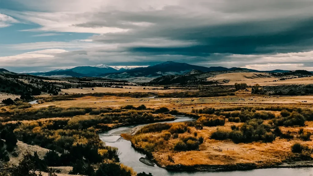
The photo at the top of this page is not Valley Creek.
It is a regional stand-in, honestly captioned but generic — we will not put a name to a river we cannot prove. Send us a photograph you took here and it replaces the stand-in, with your credit on it.
Add a photo of this water
Landscape, not fish — the water itself. Reviewed by hand before it appears. The first one published here earns the Pioneer badge.
Fished this water? Add a photo
Reviewed by hand before it appears. Pick the water, not the spot — we never publish exact locations.
Access
Stanley - the town at the confluence, with lodging, outfitters and services.
Salmon River - the larger river the creek enters at Stanley.
Sawtooth National Recreation Area - the federal land covering the valley and the surrounding peaks.
Highway 21 - the road following the creek northwest out of Stanley.
Sawtooth Fish Hatchery - the state facility on the upper Salmon River nearby.
Redfish Lake - the well known lake and sockeye destination south of town.
Stanley Lake - the lake in the upper Valley Creek drainage.
Seasons
Spring: high cold runoff with the creek generally out of shape until late in the season.
Summer: the prime window, with clear meadow water and willing cutthroat on dry flies.
Fall: cooling water, fewer visitors and seasonal closures in place to protect spawning fish.
Winter: deep snow and ice, with the valley effectively closed to fishing.
From the water
No logged trips yet. Be the first to put this water on your map.
Log this water
Fished it or cleaned it? Log in or create a free account to log a trip with photos and earn the waterway badge.
Questions
What is the current flow on the Valley Creek?
As of Nov 2, 6:00 am, the USGS gauge VALLEY CREEK AT STANLEY ID reads 119 cfs. Conditions update every 15 minutes.
What species can you catch on the Valley Creek?
Anglers target Brook Trout, Bull Trout, Chinook Salmon, Mountain Whitefish, Rainbow Trout, Westslope Cutthroat Trout on the Valley Creek in Idaho.
Where can you access the Valley Creek?
Stanley - the town at the confluence, with lodging, outfitters and services. Salmon River - the larger river the creek enters at Stanley. Sawtooth National Recreation Area - the federal land covering the valley and the surrounding peaks. Highway 21 - the road following the creek northwest out of Stanley. Sawtooth Fish Hatchery - the state facility on the upper Salmon River nearby. Redfish Lake - the well known lake and sockeye destination south of town. Stanley Lake - the lake in the upper Valley Creek drainage.
When is the best time to fish the Valley Creek?
Spring: high cold runoff with the creek generally out of shape until late in the season. Summer: the prime window, with clear meadow water and willing cutthroat on dry flies. Fall: cooling water, fewer visitors and seasonal closures in place to protect spawning fish. Winter: deep snow and ice, with the valley effectively closed to fishing.
Where are the fishing regulations for the Valley Creek?
Regulations change by season and section. Read the current rules on the Idaho agency site: https://idfg.idaho.gov/rules/fish