South Elkhorn Creek Fishing Guides
A Bluegrass limestone creek running out of the springs west of Lexington through horse farm country, and the upper arm of one of Kentucky's best smallmouth systems.
Map of the South Elkhorn Creek
22 numbered points: 1 access point, 1 campsite, 1 outfitter, 18 bridges, 1 USGS gauge. Tap a marker for details. Reviewed Oct 23, 2026.
- Access / boat ramp (1)
- Campsite (1)
- Outfitter / canoe rental (1)
- Bridge crossing (18)
- USGS gauge (1)
Print it. Bag it. Bring it.Phones die, screens crack, and most of this water has no signal. Print this map, fold it into a zip-top bag or dry bag with your license, and you have a backup your electronics can’t give you. Every marker is numbered so you can say exactly where you are.
Open the printable mapAll 22 points on this map
| # | Point | Type | Lat, Lon | Notes |
|---|---|---|---|---|
| 1 | Old Versailles Road Residential crossing | Bridge crossing | 38.04224, -84.62539 | |
| 2 | Versailles Road (US 60) Twin trunk spans; one is mapped here | Bridge crossing | 38.04264, -84.62604 | US 60 crosses on two parallel spans about 14 m apart; only the upstream one is on the sheet. |
| 3 | USGS streamgauge Live stage and discharge | USGS gauge | 38.04313, -84.62633 | Roster coordinate; USGS 03289000, South Elkhorn Creek at Fort Spring. |
| 4 | Bosworth Lane Lane crossing | Bridge crossing | 38.06105, -84.63061 | |
| 5 | Elkchester Road Road crossing | Bridge crossing | 38.06668, -84.62843 | |
| 6 | Paynes Mill Road Residential crossing | Bridge crossing | 38.08043, -84.63958 | |
| 7 | Old Frankfort Pike (KY 1681) State secondary crossing | Bridge crossing | 38.10330, -84.64118 | |
| 8 | Browns Mill Road (upper) First of two crossings on the same road | Bridge crossing | 38.10888, -84.63373 | Browns Mill Road crosses twice, about 1.2 km apart; both are on the sheet. |
| 9 | Browns Mill Road (lower) Second of two crossings on the same road | Bridge crossing | 38.11175, -84.63278 | |
| 10 | South Weisenberger Mill Road Residential crossing | Bridge crossing | 38.11622, -84.64298 | OSM spells this way "South Weinsenberger Mill Road"; the corrected spelling is printed. |
| 11 | Kayaking the Midway Canoe and kayak livery put-in at Midway | Access / boat ramp | 38.12162, -84.64035 | The only put-in mapped on South Elkhorn. OSM tags it leisure=slipway; it is a commercial livery, so hours, fees and shuttles are not confirmed here. |
| 12 | South Weisenberger Mill Road Residential crossing | Bridge crossing | 38.12594, -84.63827 | |
| 13 | Weisenberger Mill Road Crossing at the historic mill | Bridge crossing | 38.12812, -84.63686 | |
| 14 | Leestown Road (US 62 / US 421) Primary crossing | Bridge crossing | 38.14132, -84.64513 | |
| 15 | Moores Mill Road Lane crossing | Bridge crossing | 38.16030, -84.64394 | |
| 16 | Interstate 64 Twin motorway spans; one is mapped here | Bridge crossing | 38.16087, -84.64429 | I 64 crosses on two parallel spans about 26 m apart; only one is on the sheet. |
| 17 | Georgetown Road (KY 341) State tertiary crossing | Bridge crossing | 38.17611, -84.66901 | |
| 18 | Fishers Mill Road Residential crossing | Bridge crossing | 38.17369, -84.70611 | |
| 19 | Woodlake Road (KY 1685) State secondary crossing | Bridge crossing | 38.18529, -84.73791 | |
| 20 | Dick's Sporting Goods General sporting goods, about 3 km off the creek | Outfitter / canoe rental | 38.17561, -84.82066 | No bait, tackle or fly shop is mapped anywhere on South Elkhorn. This is the nearest place to buy line and lures, and it is a big-box store, not a tackle shop. |
| 21 | Elkhorn Campground Private campground at the Forks of Elkhorn | Campsite | 38.21032, -84.80280 | Tagged tourism=caravan_site. It sits at the Forks, where South Elkhorn meets North Elkhorn to form Elkhorn Creek. |
| 22 | Georgetown Road (US 460) Crossing at the Forks of Elkhorn | Bridge crossing | 38.21509, -84.79875 | The lowest crossing on South Elkhorn; below it the stream is Elkhorn Creek. |
Guides on the South Elkhorn Creek
Claimed profiles take booking requests. Unclaimed profiles are built from public records so the river is never empty; the guide can claim or remove one any time.
No guides listed yet
Guide or outfit this water? Create your profile. Listing is free, the commission is 10% or 7% with a premium profile, and premium profiles list first on this water.
About the South Elkhorn Creek
South Elkhorn Creek rises in the springs and sinkholes of the Inner Bluegrass, a landscape built on limestone that lies close enough to the surface to shape everything above it. The same rock that gives the region its pastures and its horse farms gives the creek its character: alkaline water, heavy aquatic life, gravel and ledge bottom, and a baseflow that holds up through dry stretches better than a surface-fed stream would.
The creek runs west and north from the edge of Lexington, dropping through a series of short falls and long pools before joining North Elkhorn to form Elkhorn Creek proper. Elkhorn is widely regarded as one of the best smallmouth streams in Kentucky, and the South Fork is where a good deal of that fishery is produced. The water here is smaller and more intimate than the main stem, wadeable through most of its length, and it rewards anglers willing to move.
Smallmouth are the reason to come. They hold on the ledge drops, the current seams below the riffles and the shaded rock banks, and they are aggressive in a way that suits small topwater plugs and crayfish patterns. Rock bass share the same water and are abundant enough to be a genuine part of the day. Longear sunfish colour the shallows, and channel catfish work the deeper pools after dark.
Land ownership is the central practical issue. This is farm country, much of it in large private holdings, and the creek runs through pasture and horse operations for long stretches. Kentucky law allows fishing from a boat on navigable water, but wading access generally requires permission or a public road crossing, and asking first is both the legal and the sensible course. Public frontage exists at bridges and a few parks.
The creek is small enough that rainfall moves it quickly. It stains after a storm and clears within a day or two, and summer low water concentrates fish in the deeper ledge pools where they can be sight fished in good light. Spring and fall carry the most reliable conditions and the most active fish.
This water needs a real photo
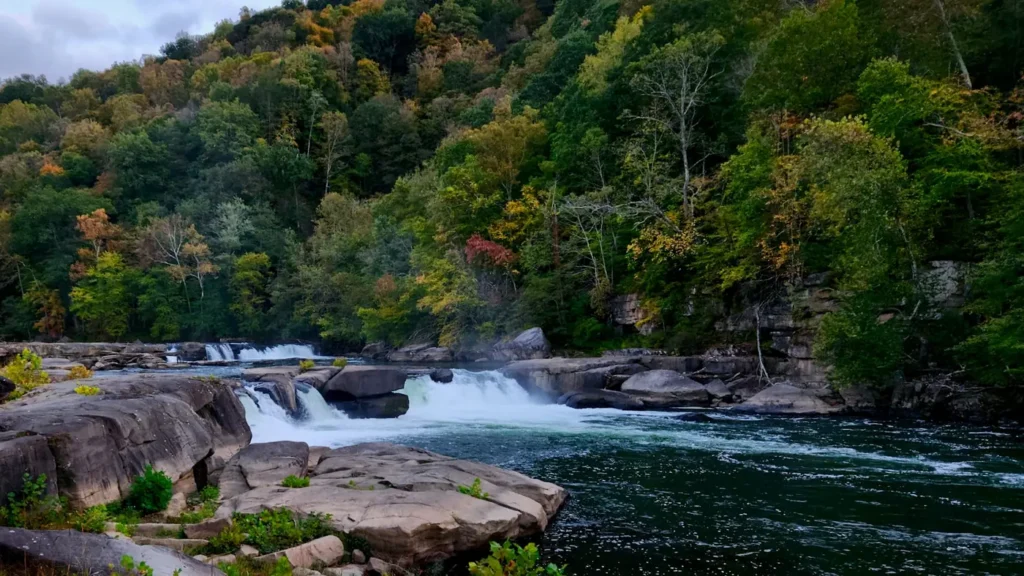
The photo at the top of this page is not South Elkhorn Creek.
It is a regional stand-in, honestly captioned but generic — we will not put a name to a river we cannot prove. Send us a photograph you took here and it replaces the stand-in, with your credit on it.
Add a photo of this water
Landscape, not fish — the water itself. Reviewed by hand before it appears. The first one published here earns the Pioneer badge.
Fished this water? Add a photo
Reviewed by hand before it appears. Pick the water, not the spot — we never publish exact locations.
Access
Fort Spring - the small community the gauge is named for, on the upper creek.
Lexington - the city at the head of the drainage, with full services and the nearest airport.
Versailles - the Woodford County town near the middle reaches.
Midway - the village between the forks, a common reference point.
Elkhorn Creek - the larger stream formed where the South and North forks meet.
Kentucky River - the river receiving Elkhorn Creek downstream.
County road bridge crossings - the practical public entry points along the creek.
Seasons
Spring: high fertile water and the most aggressive smallmouth fishing of the year.
Summer: low clear water concentrates fish in the ledge pools and rewards early starts.
Fall: cooling temperatures and steady flows make for the most consistent conditions.
Winter: cold and clear, with fish holding deep and slow in the larger pools.
From the water
No logged trips yet. Be the first to put this water on your map.
Log this water
Fished it or cleaned it? Log in or create a free account to log a trip with photos and earn the waterway badge.
Questions
What is the current flow on the South Elkhorn Creek?
As of Nov 2, 6:25 am, the USGS gauge SOUTH ELKHORN CREEK AT FORT SPRING, KY reads 1 cfs, with water temperature 56.5 F. Conditions update every 15 minutes.
What species can you catch on the South Elkhorn Creek?
Anglers target Bluegill, Channel Catfish, Longear Sunfish, Rock Bass, Smallmouth Bass, Spotted Bass on the South Elkhorn Creek in Kentucky.
Where can you access the South Elkhorn Creek?
Fort Spring - the small community the gauge is named for, on the upper creek. Lexington - the city at the head of the drainage, with full services and the nearest airport. Versailles - the Woodford County town near the middle reaches. Midway - the village between the forks, a common reference point. Elkhorn Creek - the larger stream formed where the South and North forks meet. Kentucky River - the river receiving Elkhorn Creek downstream. County road bridge crossings - the practical public entry points along the creek.
When is the best time to fish the South Elkhorn Creek?
Spring: high fertile water and the most aggressive smallmouth fishing of the year. Summer: low clear water concentrates fish in the ledge pools and rewards early starts. Fall: cooling temperatures and steady flows make for the most consistent conditions. Winter: cold and clear, with fish holding deep and slow in the larger pools.
Where are the fishing regulations for the South Elkhorn Creek?
Regulations change by season and section. Read the current rules on the Kentucky agency site: https://fw.ky.gov/FishBoatGuide/Pages/default.aspx