Fishes Potomac River
River · Upper Potomac · Maryland
Potomac River Fishing Guides
The upper Potomac above Washington, a wide, shallow, ledge-and-grass river that is one of the great smallmouth bass fisheries on the East Coast.
Gauge location. Map data © OpenStreetMap contributors.
Guides on the Potomac River
Claimed profiles take booking requests. Unclaimed profiles are built from public records so the river is never empty; the guide can claim or remove one any time.
About the Potomac River
Above the fall line at Washington the Potomac is a completely different river from the tidal water most people picture. From Cumberland down through Hancock, Williamsport, Shepherdstown, Harpers Ferry, Point of Rocks and on to Whites Ferry it is wide, shallow, ledgy and full of grass beds, and it fishes as one of the best smallmouth bass rivers in the eastern United States. The Chesapeake and Ohio Canal towpath runs along the entire Maryland bank, which gives the river something few big rivers have: continuous public access for a hundred and eighty miles.
Smallmouth are the fishery. The combination of ledge rock, grass beds and abundant crayfish and baitfish produces both numbers and quality, and float trips in a raft or jet boat are the standard guided day. Largemouth take the slower backwaters and the grass, channel and flathead catfish are abundant, walleye run in the spring, and muskellunge have become a serious cold-weather pursuit in the reaches above Harpers Ferry. Striped bass come up as far as Great Falls in the spring below Point of Rocks.
The Point of Rocks gauge is the reference number for the whole middle reach and the one that guides quote. Moderate readings mean wadeable ledges, clear water and good floating. High spring water or a big rain in the Shenandoah Valley browns it out and makes the ledges dangerous; it clears from the top down over several days. Late-summer lows are clear, grassy and technical, and the best fishing is at first and last light. Wading anglers should respect the ledges, which drop off abruptly.
Point of Rocks, Brunswick, Harpers Ferry, Shepherdstown and Williamsport are the access towns along the corridor.
This water needs a real photo
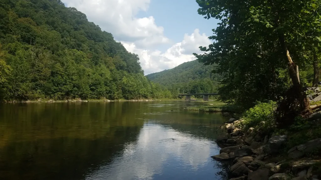
The photo at the top of this page is not Potomac River.
It is a regional stand-in, honestly captioned but generic — we will not put a name to a river we cannot prove. Send us a photograph you took here and it replaces the stand-in, with your credit on it.
Pioneer badgeUnclaimed
Add a photo of this water
Landscape, not fish — the water itself. Reviewed by hand before it appears. The first one published here earns the Pioneer badge.
Fished this water? Add a photo
Reviewed by hand before it appears. Pick the water, not the spot — we never publish exact locations.
Access
Point of Rocks: boat ramp and access at the gauge.
Brunswick and Lander: C and O Canal ramps and campsites.
Harpers Ferry and the Shenandoah confluence: the best-known reach.
Dargan Bend and Antietam Creek: canal access points upstream.
Shepherdstown and Taylors Landing: mid-river ramps.
Williamsport and Dam Number 5: upper reaches and the pool water.
C and O Canal towpath: continuous bank access along the entire Maryland shore.
Seasons
March and April: walleye and high spring water; muskellunge fishing at its best.
May and June: the strongest smallmouth months, spawning and post-spawn.
July and August: low clear water, grass beds, topwater at dawn and dusk.
September through November: the biggest smallmouth of the year and excellent floating.
From the water
No logged trips yet. Be the first to put this water on your map.
Log this water
Fished it or cleaned it? Log in or create a free account to log a trip with photos and earn the waterway badge.
Questions
What is the current flow on the Potomac River?
As of Oct 19, 2:55 am, the USGS gauge POTOMAC RIVER AT POINT OF ROCKS, MD reads 5,030 cfs, the 79th percentile for this date, with water temperature 59.7 F. Conditions update every 15 minutes.
What species can you catch on the Potomac River?
Anglers target Channel Catfish, Flathead Catfish, Largemouth Bass, Muskellunge, Smallmouth Bass, Striped Bass, Walleye on the Potomac River in Maryland.
Are there fishing guides on the Potomac River?
GuidedFloats lists 1 guide and outfitters on the Potomac River. Claimed profiles accept booking requests; unclaimed profiles are built from public records and link to the business.
Where can you access the Potomac River?
Point of Rocks: boat ramp and access at the gauge. Brunswick and Lander: C and O Canal ramps and campsites. Harpers Ferry and the Shenandoah confluence: the best-known reach. Dargan Bend and Antietam Creek: canal access points upstream. Shepherdstown and Taylors Landing: mid-river ramps. Williamsport and Dam Number 5: upper reaches and the pool water. C and O Canal towpath: continuous bank access along the entire Maryland shore.
When is the best time to fish the Potomac River?
March and April: walleye and high spring water; muskellunge fishing at its best. May and June: the strongest smallmouth months, spawning and post-spawn. July and August: low clear water, grass beds, topwater at dawn and dusk. September through November: the biggest smallmouth of the year and excellent floating.
Where are the fishing regulations for the Potomac River?
Regulations change by season and section. Read the current rules on the Maryland agency site: https://dnr.maryland.gov/fisheries/pages/regulations/index.aspx