Greer Spring Fishing Guides
The second largest spring in Missouri, pouring cold water out of a wooded hollow and roughly doubling the Eleven Point River in the space of a mile, which is what makes the river below it hold trout all summer.
Map of the Greer Spring
10 numbered points: 2 access points, 1 campsite, 1 outfitter, 1 park or conservation area, 1 regulation section limit, 1 hazard, 1 spring, 1 USGS gauge, 1 point of interest. Tap a marker for details. Reviewed Sep 22, 2026.
- Access / boat ramp (2)
- Campsite (1)
- Outfitter / canoe rental (1)
- Park / conservation area (1)
- Regulation section limit (1)
- Dam / hazard (1)
- Spring (1)
- USGS gauge (1)
- Point of interest (1)
Print it. Bag it. Bring it.Phones die, screens crack, and most of this water has no signal. Print this map, fold it into a zip-top bag or dry bag with your license, and you have a backup your electronics can’t give you. Every marker is numbered so you can say exactly where you are.
Open the printable mapAll 10 points on this map
| # | Point | Type | Lat, Lon | Notes |
|---|---|---|---|---|
| 1 | Greer Spring Second-largest spring in Missouri | Spring | 36.78676, -91.34780 | About 222 million gallons a day from two outlets in a deep hollow. It roughly doubles the Eleven Point River a mile below. |
| 2 | Greer Spring cave outlet Lower of the spring's two openings | Point of interest | 36.78660, -91.34879 | Part of the flow comes out of this cave mouth; the rest boils up in the channel just above it. |
| 3 | USGS gauge - Greer Spring at Greer USGS 07071000 | USGS gauge | 36.78661, -91.34753 | One of the longest spring records in the Ozarks. For float levels read the Eleven Point gauge downstream at Bardley. |
| 4 | Greer Spring Trailhead USFS - MO 19, foot access only | Access / boat ramp | 36.77976, -91.34575 | A mile of trail drops roughly 200 feet to the spring. There is no vehicle or boat access to the spring itself - this is the only way in. |
| 5 | Richard's Canoe Rental Canoe and kayak livery on MO 19 | Outfitter / canoe rental | 36.77167, -91.34919 | Tagged as a park in OSM; it is a livery serving the upper Eleven Point out of Greer Crossing. |
| 6 | Eleven Point Blue Ribbon Trout Area - upper limit Greer Spring Branch junction | Regulation section limit | 36.79839, -91.33875 | MDC's Blue Ribbon reach starts where the spring branch meets the Eleven Point and runs 5.5 miles to Turner Mill Access. Rules on the MDC site; marker placed on the OSM branch mouth. |
| 7 | Bellah Falls Named rapid below the spring branch | Dam / hazard | 36.79729, -91.33608 | The first drop the cold water runs through. Scout it at low flow; it is the one feature on this reach worth a look from the bank. |
| 8 | Greer Access USFS - Greer Crossing, MO 19 bridge | Access / boat ramp | 36.79310, -91.33152 | The main launch for the upper Eleven Point, three quarters of a mile below the spring branch mouth. |
| 9 | Greer Crossing picnic area USFS - Greer Crossing Recreation Area | Park / conservation area | 36.79373, -91.33192 | Day-use tables beside the launch, with a water tap tagged a few metres away. |
| 10 | Greer Crossing Campground USFS - Mark Twain National Forest | Campsite | 36.79413, -91.32930 | OSM calls it Greer Springs Campground; the Forest Service name is Greer Crossing Recreation Area. Sites above the launch. |
Guides on the Greer Spring
Claimed profiles take booking requests. Unclaimed profiles are built from public records so the river is never empty; the guide can claim or remove one any time.
No guides listed yet
Guide or outfit this water? Create your profile. Listing is free, the commission is 10% or 7% with a premium profile, and premium profiles list first on this water.
About the Greer Spring
Greer Spring is the second largest spring in Missouri and one of the largest in the country, discharging on the order of two hundred million gallons a day. What makes it unusual among big Ozark springs is that it is not a roadside attraction. The spring rises at the bottom of a steep wooded hollow, and reaching it means walking most of a mile down a trail and then climbing back out. That walk is the reason the place still feels wild.
The spring branch runs less than a mile before it reaches the Eleven Point River, and over that short distance it roughly doubles the river’s flow. The effect downstream is dramatic. Above the confluence the Eleven Point is a modest, warm Ozark stream. Below it the river is bigger, colder and clearer, and it stays cold enough through July and August to hold trout in a part of the country where that is otherwise impossible.
Rainbow trout are stocked in the river below the spring and a population of brown trout has established itself there as well. The Eleven Point carries a National Scenic River designation, which has kept the corridor undeveloped and public, and the combination of cold water and protected shoreline gives this stretch a character closer to a western tailwater than to a typical Missouri float.
Warmwater fishing persists alongside the trout. Smallmouth bass hold in the faster gravel runs, and Ozark bass, shadow bass and longear sunfish are common in the pools and along the bluff edges. Anglers who float the full run below the spring often catch trout and smallmouth in the same day, sometimes in the same pool, which is a genuinely odd experience the first time.
Access is by float more than by wading. The river below the spring is big enough to want a canoe or johnboat, and outfitters in the area run shuttles on the standard stretches. The spring branch itself is closed to fishing, so the water to work is the river from the confluence down. Summer weekends bring paddlers; spring and fall are quieter and generally fish better.
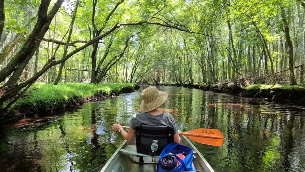
This water needs a real photo
The photo at the top of this page is not Greer Spring.
It is a regional stand-in, honestly captioned but generic — we will not put a name to a river we cannot prove. Send us a photograph you took here and it replaces the stand-in, with your credit on it.
Add a photo of this water
Landscape, not fish — the water itself. Reviewed by hand before it appears. The first one published here earns the Pioneer badge.
Fished this water? Add a photo
Reviewed by hand before it appears. Pick the water, not the spot — we never publish exact locations.
Access
Greer Spring Trail - the national forest trail down to the spring itself, steep and worth the walk.
Greer Crossing Recreation Area - the main Eleven Point access and campground on Highway 19.
Turner Mill - a float access downstream with an old mill wheel still standing.
Riverton - the Highway 160 crossing and a common float takeout.
Alton - the nearest town of any size, with fuel, food and lodging.
Mark Twain National Forest - the public land that covers most of this corridor.
Eleven Point National Scenic River - the designation that keeps the river corridor protected and open.
Seasons
Spring: high, cold water and the strongest flows of the year, with good trout fishing once it drops.
Summer: the reason this river matters, staying cold below the spring when everything else warms up.
Fall: low, clear water, heavy leaf color and the best smallmouth fishing of the year.
Winter: cold but stable, with the spring flow keeping the river ice free and fishable.
From the water
No logged trips yet. Be the first to put this water on your map.
Log this water
Fished it or cleaned it? Log in or create a free account to log a trip with photos and earn the waterway badge.
Questions
What is the current flow on the Greer Spring?
As of Nov 2, 6:15 am, the USGS gauge Greer Spring at Greer, MO reads 189 cfs. Conditions update every 15 minutes.
What species can you catch on the Greer Spring?
Anglers target Brown Trout, Channel Catfish, Longear Sunfish, Ozark Bass, Rainbow Trout, Shadow Bass, Smallmouth Bass on the Greer Spring in Missouri.
Where can you access the Greer Spring?
Greer Spring Trail - the national forest trail down to the spring itself, steep and worth the walk. Greer Crossing Recreation Area - the main Eleven Point access and campground on Highway 19. Turner Mill - a float access downstream with an old mill wheel still standing. Riverton - the Highway 160 crossing and a common float takeout. Alton - the nearest town of any size, with fuel, food and lodging. Mark Twain National Forest - the public land that covers most of this corridor. Eleven Point National Scenic River - the designation that keeps the river corridor protected and open.
When is the best time to fish the Greer Spring?
Spring: high, cold water and the strongest flows of the year, with good trout fishing once it drops. Summer: the reason this river matters, staying cold below the spring when everything else warms up. Fall: low, clear water, heavy leaf color and the best smallmouth fishing of the year. Winter: cold but stable, with the spring flow keeping the river ice free and fishable.
Where are the fishing regulations for the Greer Spring?
Regulations change by season and section. Read the current rules on the Missouri agency site: https://mdc.mo.gov/fishing/regulations