Roubidoux Creek Fishing Guides
A Pulaski County spring creek rising at Roubidoux Spring in Waynesville, stocked with rainbow trout and running clear and cold to the Gasconade.
Map of the Roubidoux Creek
5 numbered points: 2 parks and conservation areas, 2 regulation section limits, 1 spring. Tap a marker for details. Reviewed Sep 6, 2026.
- Park / conservation area (2)
- Regulation section limit (2)
- Spring (1)
Print it. Bag it. Bring it.Phones die, screens crack, and most of this water has no signal. Print this map, fold it into a zip-top bag or dry bag with your license, and you have a backup your electronics can’t give you. Every marker is numbered so you can say exactly where you are.
Open the printable mapAll 5 points on this map
| # | Point | Type | Lat, Lon | Notes |
|---|---|---|---|---|
| 1 | Roubidoux Spring Waynesville - head of the trout water | Spring | 37.82540, -92.20150 | The spring rises in the city park and is the head of the stocked section. |
| 2 | White Ribbon trout area - upper limit at Roubidoux Spring Runs 3.1 miles to the Gasconade | Regulation section limit | 37.82540, -92.20150 | MDC's White Ribbon area starts at the spring. Boundary only - check the current rules before you fish. |
| 3 | Roy Laughlin Park City of Waynesville | Park / conservation area | 37.82604, -92.20309 | Creekside city park just below the spring. |
| 4 | Roubidoux Park City of Waynesville | Park / conservation area | 37.83334, -92.20061 | The main creekside park; parking and the easiest walk-in water in town. |
| 5 | White Ribbon trout area - lower limit at the Gasconade Confluence with the Gasconade River | Regulation section limit | 37.85069, -92.21362 | Lower end of the 3.1 mile section, placed on the last vertex of the OSM creek centreline at the confluence - treat as approximate. |
Guides on the Roubidoux Creek
Claimed profiles take booking requests. Unclaimed profiles are built from public records so the river is never empty; the guide can claim or remove one any time.
No guides listed yet
Guide or outfit this water? Create your profile. Listing is free, the commission is 10% or 7% with a premium profile, and premium profiles list first on this water.
About the Roubidoux Creek
Roubidoux Creek rises at Roubidoux Spring in the middle of Waynesville, Missouri, and runs north through Pulaski County and the edge of Fort Leonard Wood to join the Gasconade River. The spring itself discharges tens of millions of gallons a day from the Ozark aquifer, which is what makes the creek what it is: cold, clear, chemically stable, and capable of holding trout well downstream of a point where a rain-fed creek this size would run warm by June. The USGS station at Polla Road, below the fort, reports discharge and stage on the lower reach.
The Missouri Department of Conservation manages the spring branch and the reach through Waynesville as a winter trout area and stocks rainbow trout, which creates an unusual Ozark fishery — genuine cold-water trout water inside a town park, with wild smallmouth bass water immediately below it. Below the trout section the creek turns into a very good Ozark smallmouth stream, with rock bass, longear sunfish and bluegill throughout, and channel catfish in the deeper pools toward the Gasconade confluence.
Fishing here is wading and short-float water. The trout reach is walk-and-wade with light fly and spinning tackle, small nymphs, scuds and midges working the way they do on any spring creek. The lower creek suits a kayak or canoe float with the angler getting out on the gravel to work each riffle and root wad. Because the flow is spring-fed, the creek stays fishable during Ozark summers that shut down surrounding rain-fed streams, and it clears quickly after storms.
Access is unusually good for an Ozark creek. Waynesville city park land covers the spring and much of the trout reach, and there are several county road crossings downstream. Note that the creek runs along and through Fort Leonard Wood land in places, where access is restricted and posted. A Missouri fishing permit plus a trout permit is required to keep trout in the managed area; the MDC link below carries the current seasonal rules, which differ between the winter catch-and-release season and the rest of the year.
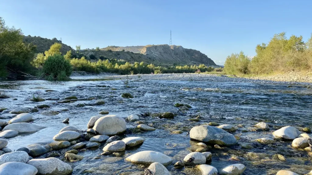
This water needs a real photo
The photo at the top of this page is not Roubidoux Creek.
It is a regional stand-in, honestly captioned but generic — we will not put a name to a river we cannot prove. Send us a photograph you took here and it replaces the stand-in, with your credit on it.
Add a photo of this water
Landscape, not fish — the water itself. Reviewed by hand before it appears. The first one published here earns the Pioneer badge.
Fished this water? Add a photo
Reviewed by hand before it appears. Pick the water, not the spot — we never publish exact locations.
Access
Roubidoux Spring and Waynesville City Park — the headspring and the core walk-and-wade trout reach.
Laughlin Park, Waynesville — in-town bank and wading access with parking.
Highway 17 crossings north of Waynesville — roadside access to the middle creek.
Polla Road crossing — access at the USGS gauge on the lower reach.
Fort Leonard Wood boundary crossings — restricted, posted, and not open general access.
Gasconade River confluence landings — float take-out for lower-creek trips.
County road gravel crossings in northern Pulaski County — informal wade-in points.
Seasons
Spring: strong flows, stocked rainbow trout in the managed reach and smallmouth waking up below it.
Summer: the spring keeps the upper creek cold and fishable while surrounding streams warm out.
Fall: the best smallmouth month range on the lower creek, with low clear water and heavy feeding.
Winter: the catch-and-release trout season on the spring branch, fishable on all but the coldest days.
From the water
No logged trips yet. Be the first to put this water on your map.
Log this water
Fished it or cleaned it? Log in or create a free account to log a trip with photos and earn the waterway badge.
Questions
What species can you catch on the Roubidoux Creek?
Anglers target Bluegill, Channel Catfish, Longear Sunfish, Rainbow Trout, Rock Bass, Smallmouth Bass on the Roubidoux Creek in Missouri.
Where can you access the Roubidoux Creek?
Roubidoux Spring and Waynesville City Park — the headspring and the core walk-and-wade trout reach. Laughlin Park, Waynesville — in-town bank and wading access with parking. Highway 17 crossings north of Waynesville — roadside access to the middle creek. Polla Road crossing — access at the USGS gauge on the lower reach. Fort Leonard Wood boundary crossings — restricted, posted, and not open general access. Gasconade River confluence landings — float take-out for lower-creek trips. County road gravel crossings in northern Pulaski County — informal wade-in points.
When is the best time to fish the Roubidoux Creek?
Spring: strong flows, stocked rainbow trout in the managed reach and smallmouth waking up below it. Summer: the spring keeps the upper creek cold and fishable while surrounding streams warm out. Fall: the best smallmouth month range on the lower creek, with low clear water and heavy feeding. Winter: the catch-and-release trout season on the spring branch, fishable on all but the coldest days.
Where are the fishing regulations for the Roubidoux Creek?
Regulations change by season and section. Read the current rules on the Missouri agency site: https://mdc.mo.gov/fishing/regulations