Mill Creek Fishing Guides
Seven and a half miles of spring-fed Phelps County creek on national forest and conservation area ground, with wild rainbows, tight cover, and a short drive from Rolla.
Map of the Mill Creek
7 numbered points: 1 park or conservation area, 2 regulation section limits, 2 springs, 2 points of interest. Tap a marker for details. Reviewed Sep 16, 2026.
- Park / conservation area (1)
- Regulation section limit (2)
- Spring (2)
- Point of interest (2)
Print it. Bag it. Bring it.Phones die, screens crack, and most of this water has no signal. Print this map, fold it into a zip-top bag or dry bag with your license, and you have a backup your electronics can’t give you. Every marker is numbered so you can say exactly where you are.
Open the printable mapAll 7 points on this map
| # | Point | Type | Lat, Lon | Notes |
|---|---|---|---|---|
| 1 | Mill Creek Blue Ribbon Trout Area — upper limit At Yelton Spring | Regulation section limit | 37.81750, -91.94050 | MDC Blue Ribbon reach runs from Yelton Spring downstream to the junction with Little Piney Creek, about 7.7 miles, and takes in Wilkins Spring and its spring branch. Boundary only — check MDC for the rules. |
| 2 | Yelton Spring Head of the Blue Ribbon reach | Spring | 37.81750, -91.94050 | The spring that puts cold water into Mill Creek and marks the top of the trout water. |
| 3 | Wilkins Spring Second spring, inside the reach | Spring | 37.83576, -91.93738 | Named in the MDC boundary description along with its spring branch. |
| 4 | Dewitt Pond Trailhead USFS · west side, Kaintuck trails | Point of interest | 37.83695, -91.93896 | Trailhead parking on the Mark Twain NF beside the creek at Wilkins Spring. |
| 5 | Mill Creek Picnic Site USFS · Mark Twain National Forest | Park / conservation area | 37.87315, -91.92962 | Forest Service day-use site on the creek; the usual parking for the middle reach. |
| 6 | Kaintuck Hollow North Trailhead USFS · Mark Twain National Forest | Point of interest | 37.86988, -91.92388 | Trailhead about half a kilometre off the creek above the picnic site. |
| 7 | Mill Creek Blue Ribbon Trout Area — lower limit At the Little Piney Creek junction | Regulation section limit | 37.91160, -91.93478 | The downstream end of the Blue Ribbon reach is the confluence with Little Piney Creek. Boundary only — check MDC for the rules. |
Guides on the Mill Creek
Claimed profiles take booking requests. Unclaimed profiles are built from public records so the river is never empty; the guide can claim or remove one any time.
No guides listed yet
Guide or outfit this water? Create your profile. Listing is free, the commission is 10% or 7% with a premium profile, and premium profiles list first on this water.
About the Mill Creek
Mill Creek rises under the Mark Twain National Forest west of Rolla and runs to its junction with Little Piney Creek. Yelton Spring marks the top of the Blue Ribbon section and Wilkins Spring, the larger of the two, comes in partway down and is where consistent trout habitat really begins. The 7.7 regulated miles include Wilkins Spring and its branch. Between the Forest Service and the Department of Conservation, most of the watershed is public ground, which makes this the easiest of the three Phelps County creeks to fish without knocking on a door.
The trout are wild and stream-bred. The Forest Service names Mill Creek as one of only three streams on the forest with naturally reproducing rainbows, alongside Little Piney and Spring Creek. MDC describes a moderate population dominated by fish under twelve inches, with fish up to eighteen holding in the deeper pools. Most anglers catch four to ten inch fish all day and see a fourteen-incher if they are patient. Nobody catches many keepers here, and the eighteen-inch limit means almost everything you touch goes back.
It is small water and it fishes small. MDC’s advice is to wade in quietly, fish slowly, and expect the fish to spook, and that is exactly right. Back-casting room in the good water is usually tight, so a short rod and a long leader beat a nine-footer, and dry flies work better than the brush would suggest. Bohigian Conservation Area carries about a mile and a quarter of frontage with two parking lots, and the Forest Service picnic area upstream is the other obvious starting point. Kaintuck Hollow Trail runs nearby with sixteen miles of loops if you want to make a day of it.
All six Blue Ribbon areas carry the same rules: flies and artificial lures only, no soft plastic, natural or scented baits for any species, an eighteen-inch minimum length, a daily limit of one trout, and no porous-soled waders. Gigging, bowfishing and atlatls are prohibited. Read the MDC page for this water before you fish it, because the boundaries are specific and posted, and a trout caught outside the marked section does not count toward the slam.
This water needs a real photo
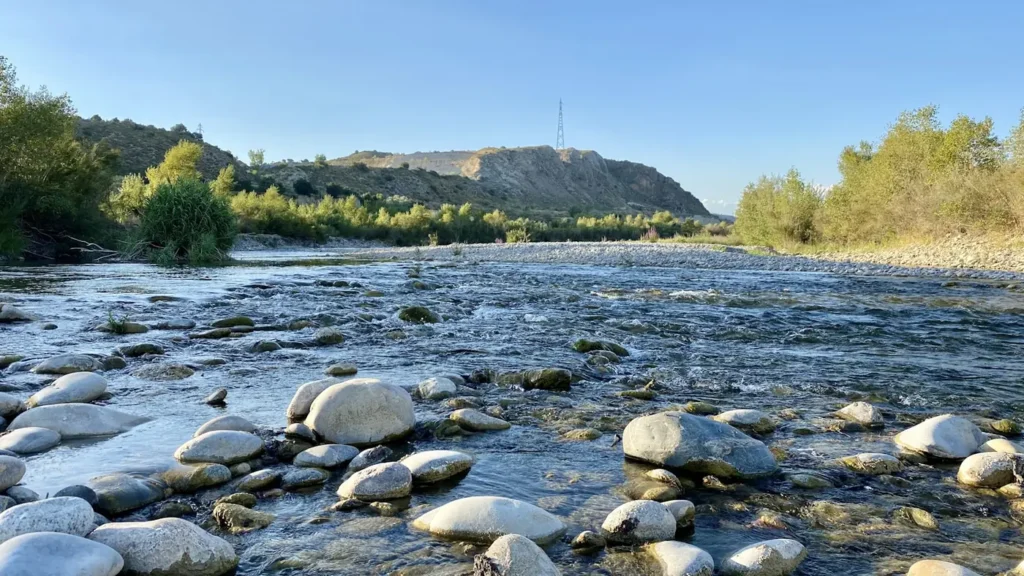
The photo at the top of this page is not Mill Creek.
It is a regional stand-in, honestly captioned but generic — we will not put a name to a river we cannot prove. Send us a photograph you took here and it replaces the stand-in, with your credit on it.
Add a photo of this water
Landscape, not fish — the water itself. Reviewed by hand before it appears. The first one published here earns the Pioneer badge.
Fished this water? Add a photo
Reviewed by hand before it appears. Pick the water, not the spot — we never publish exact locations.
Access
Mill Creek Recreation Area, Mark Twain National Forest - day-use picnic ground on the creek. From Rolla, I-44 west about 6 miles to the Highway T exit, south 3 miles to Highway P, right 3 miles, then left on County Road 7550 for 2 miles. Three picnic sites, no restroom and no drinking water.
Bohigian Conservation Area (MDC) - 437 acres with roughly 1.25 miles of Mill Creek frontage and two parking lots.
Forest Service and MDC ground upstream of the picnic area along Mill Creek Road.
Kaintuck Hollow Trail - adjoining foot access, dispersed camping permitted 100 feet from water and trail, none at the trailheads.
Expect private inholdings between the public tracts. Walk-wade only; there is no floatable water here.
Seasons
Spring: high, cold and the most productive stretch of the year, with fish spread out of the deep pools.
Summer: fishable early and late. The springs hold the temperature better than Crane does, but low clear water makes the fish harder every week.
Fall: the pick of the seasons on this creek. Stable flows, cool water and light pressure.
Winter: open and quiet. Wild rainbows spawn from December into mid-March; leave the pale gravel patches alone.
From the water
No logged trips yet. Be the first to put this water on your map.
Log this water
Fished it or cleaned it? Log in or create a free account to log a trip with photos and earn the waterway badge.
Questions
What species can you catch on the Mill Creek?
Anglers target Rainbow Trout on the Mill Creek in Missouri.
Where can you access the Mill Creek?
Mill Creek Recreation Area, Mark Twain National Forest - day-use picnic ground on the creek. From Rolla, I-44 west about 6 miles to the Highway T exit, south 3 miles to Highway P, right 3 miles, then left on County Road 7550 for 2 miles. Three picnic sites, no restroom and no drinking water. Bohigian Conservation Area (MDC) - 437 acres with roughly 1.25 miles of Mill Creek frontage and two parking lots. Forest Service and MDC ground upstream of the picnic area along Mill Creek Road. Kaintuck Hollow Trail - adjoining foot access, dispersed camping permitted 100 feet from water and trail, none a...
When is the best time to fish the Mill Creek?
Spring: high, cold and the most productive stretch of the year, with fish spread out of the deep pools. Summer: fishable early and late. The springs hold the temperature better than Crane does, but low clear water makes the fish harder every week. Fall: the pick of the seasons on this creek. Stable flows, cool water and light pressure. Winter: open and quiet. Wild rainbows spawn from December into mid-March; leave the pale gravel patches alone.
Where are the fishing regulations for the Mill Creek?
Regulations change by season and section. Read the current rules on the Missouri agency site: https://mdc.mo.gov/fishing/regulations/special-waterbody-regulations/mill-creek