Strong River Fishing Guides
A small sand-bottomed Mississippi river with white sand bars, clear water and a float-and-swim culture that most anglers overlook.
Guides on the Strong River
Claimed profiles take booking requests. Unclaimed profiles are built from public records so the river is never empty; the guide can claim or remove one any time.
No guides listed yet
Guide or outfit this water? Create your profile. Listing is free, the commission is 10% or 7% with a premium profile, and premium profiles list first on this water.
About the Strong River
The Strong River is the sort of water that people who grew up nearby are quietly loyal to and nobody else has heard of. It runs southwest through Simpson County over a bed of clean white sand, cutting steep banks on the outside of its bends and dropping broad sand bars on the inside, and its water runs noticeably clearer than the Pearl it eventually joins. The D’Lo Water Park reach is locally famous as a swimming and tubing spot, which tells an angler most of what they need to know about the summer character of the river.
The fishery is a classic southern small-river mix. Largemouth and spotted bass hold against the cut banks, the root wads and the deeper outside bends. The sunfish population is the everyday pleasure – bluegill, redear and longear are abundant and take a popper or a cricket readily, and longear in particular are spectacularly coloured here. Channel catfish work the deeper holes, flatheads hold in the log jams, and crappie stack in the slower water and the backwaters near the Pearl confluence.
Bowfin are present and worth mentioning, because an angler who hooks one on light tackle in a warm backwater will remember it. They are ancient, powerful and entirely unbothered by low oxygen, and they are a legitimate sport fish rather than a nuisance if approached in the right spirit.
The Strong floats well in a kayak or canoe at moderate water, and the sand bars make for easy stops and good camping on the longer trips. Access is a mix of bridge crossings, the D’Lo Water Park and informal put-ins, so scout before committing to a long day. USGS publishes no drainage area for this gauge, which is worth knowing rather than guessing at; the river rises and falls quickly with south Mississippi rainfall, so check the gauge and the forecast together.
This water needs a real photo
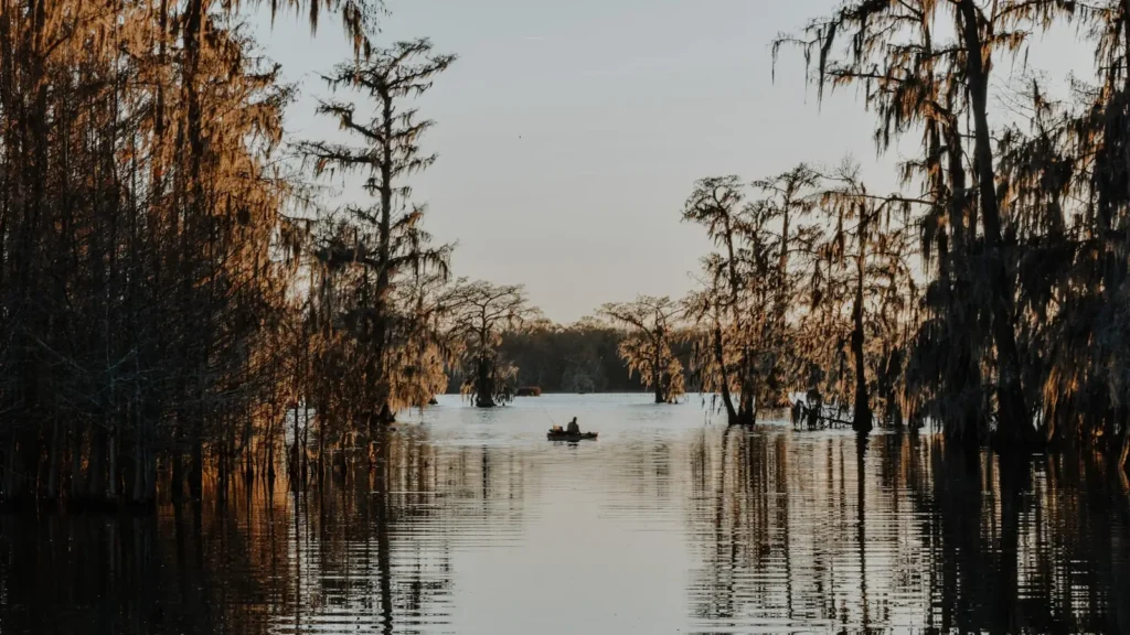
The photo at the top of this page is not Strong River.
It is a regional stand-in, honestly captioned but generic — we will not put a name to a river we cannot prove. Send us a photograph you took here and it replaces the stand-in, with your credit on it.
Add a photo of this water
Landscape, not fish — the water itself. Reviewed by hand before it appears. The first one published here earns the Pioneer badge.
Fished this water? Add a photo
Reviewed by hand before it appears. Pick the water, not the spot — we never publish exact locations.
Access
Robert Bush Road near Pinola - the gauge reach and a bridge access.
D'Lo Water Park - the best-known access, swimming and float launch.
Pinola - bridge and roadside access on the middle river.
Highway 49 crossing - access on the lower river.
Mendenhall area - access on the middle reach.
Magee area crossings - upper river bridge access.
Pearl River confluence - the bottom of the run.
Seasons
Spring: the best flows of the year and strong bass and crappie fishing.
Summer: low clear water, heavy tubing traffic on weekends, best fished early.
Fall: quiet water, cooling temperatures and excellent sunfish and bass fishing.
Winter: slow and cold, with catfish and crappie in the deeper holes.
From the water
No logged trips yet. Be the first to put this water on your map.
Log this water
Fished it or cleaned it? Log in or create a free account to log a trip with photos and earn the waterway badge.
Questions
What is the current flow on the Strong River?
As of Sep 17, 5:15 am, the USGS gauge STRONG RIVER AT ROBERT BUSH RD NR PINOLA, MS reads 83 cfs. Conditions update every 15 minutes.
What species can you catch on the Strong River?
Anglers target Black Crappie, Bluegill, Bowfin, Channel Catfish, Flathead Catfish, Largemouth Bass, Longear Sunfish, Redear Sunfish, Spotted Bass, White Crappie on the Strong River in Mississippi.
Where can you access the Strong River?
Robert Bush Road near Pinola - the gauge reach and a bridge access. D'Lo Water Park - the best-known access, swimming and float launch. Pinola - bridge and roadside access on the middle river. Highway 49 crossing - access on the lower river. Mendenhall area - access on the middle reach. Magee area crossings - upper river bridge access. Pearl River confluence - the bottom of the run.
When is the best time to fish the Strong River?
Spring: the best flows of the year and strong bass and crappie fishing. Summer: low clear water, heavy tubing traffic on weekends, best fished early. Fall: quiet water, cooling temperatures and excellent sunfish and bass fishing. Winter: slow and cold, with catfish and crappie in the deeper holes.
Where are the fishing regulations for the Strong River?
Regulations change by season and section. Read the current rules on the Mississippi agency site: https://www.mdwfp.com/enforcement-education/general-fishing-rules-regulations