Fishes Bighorn River
Tailwater · Southeast Montana · Montana
Bighorn River Fishing Guides
The tailwater below Yellowtail Dam at Fort Smith, thirteen miles of the most consistently productive brown and rainbow trout water in Montana.
Map of the Bighorn River
12 numbered points: 7 access points, 2 bridges, 1 agency office, 2 USGS gauges. Tap a marker for details. Reviewed Sep 7, 2026.
- Access / boat ramp (7)
- Bridge crossing (2)
- Agency / conservation office (1)
- USGS gauge (2)
Map data © OpenStreetMap contributors. Points are curated from OpenStreetMap and state agency sources; confirm access and hours before you go.
Print it. Bag it. Bring it.Phones die, screens crack, and most of this water has no signal. Print this map, fold it into a zip-top bag or dry bag with your license, and you have a backup your electronics can’t give you. Every marker is numbered so you can say exactly where you are.
Open the printable mapAll 12 points on this map
| # | Point | Type | Lat, Lon | Notes |
|---|---|---|---|---|
| 1 | Afterbay boat ramp, Fort Smith Below the Yellowtail Afterbay | Access / boat ramp | 45.31690, -107.92075 | The put-in for the upper river. Unnamed in OpenStreetMap; it sits just below the afterbay at Fort Smith. |
| 2 | USGS 06287000 - Bighorn River below Yellowtail Afterbay Dam USGS monitoring location | USGS gauge | 45.31690, -107.91889 | The release gauge for the whole tailwater - the number every guide quotes. Read it before you launch. |
| 3 | MT 313 bridge, Fort Smith Tagged Route 12 in OSM | Bridge crossing | 45.31615, -107.92141 | The road bridge at Fort Smith, right beside the ramp. |
| 4 | Bighorn Canyon NRA visitor contact station National Park Service · Fort Smith | Agency / conservation office | 45.31746, -107.92150 | Park information at Fort Smith; the dam and the afterbay are NPS ground. |
| 5 | Boat ramp at river mile 3.8 Unnamed in OpenStreetMap | Access / boat ramp | 45.34413, -107.87758 | Concrete ramp about 3.8 river miles below the Afterbay. No name recorded in OSM - read the sign at the top of the ramp. |
| 6 | Boat ramp at river mile 6.4 Unnamed in OpenStreetMap | Access / boat ramp | 45.35405, -107.83702 | Second mapped ramp, about 6.4 river miles down. |
| 7 | Bighorn Fishing Access Site Montana FWP · Hwy 313 | Access / boat ramp | 45.41460, -107.78648 | The standard take-out for the upper river, about 12 river miles below the Afterbay. 5.7 mi south of St. Xavier on Hwy 313. |
| 8 | USGS gauge at the St. Xavier bridge USGS monitoring location | USGS gauge | 45.46073, -107.74809 | Second USGS station on the reach, about 16 river miles down. |
| 9 | St. Xavier bridge Pryor-St. Xavier Cut Across | Bridge crossing | 45.46111, -107.74899 | River crossing at St. Xavier, about 16 river miles below the Afterbay. |
| 10 | Mallard's Landing Fishing Access Site Montana FWP | Access / boat ramp | 45.52148, -107.72427 | About 21 river miles down. 5.5 mi north of St. Xavier on Hwy 313, then 1.8 mi west. |
| 11 | Two Leggins Fishing Access Site Montana FWP · Crow Reservation | Access / boat ramp | 45.64534, -107.65865 | About 32 river miles down, 6.5 mi south of Hardin on Hwy 313. |
| 12 | Arapooish Fishing Access Site Montana FWP · near Hardin | Access / boat ramp | 45.75382, -107.56795 | Lowest mapped access on this sheet: 0.5 mi north of Hardin on Hwy 47, then 2 mi east. |
Guides on the Bighorn River
Claimed profiles take booking requests. Unclaimed profiles are built from public records so the river is never empty; the guide can claim or remove one any time.
About the Bighorn River
The Bighorn below Yellowtail Dam is a fish factory. Cold, stable releases out of Bighorn Lake, a limestone-rich food base and a broad gravel channel combine to produce trout densities that make experienced anglers recalibrate what a good day means. The famous water is the thirteen miles from the Afterbay to Bighorn Access, with a second, quieter stretch continuing down to Mallards Landing.
Brown trout and rainbows share the river in roughly equal measure and they eat small flies with confidence. The Bighorn is a nymphing river first, with sowbugs, scuds and midges producing all year, but the dry fly fishing during the black caddis in late June and the trico spinner falls in August and September is as good as any tailwater in the West. Guided days are drift boat days, and the boat ramp at the Afterbay on a July morning looks like a parking lot for a concert.
The Yellowtail Afterbay gauge is the release number and it drives everything. Roughly 2,500 to 4,500 cfs is comfortable working water; releases above that push the boats along and move fish off the flats, and lower winter releases concentrate fish and improve wading. Because the reservoir is managed for the whole basin, releases can change substantially between seasons, so check before booking.
Fort Smith is the whole town, essentially a collection of lodges and shops serving the river, and Billings is an hour and a half northwest. The river runs through the Crow Reservation, and access rules and tribal permits apply outside the designated public access points, so use the established ramps.
This water needs a real photo
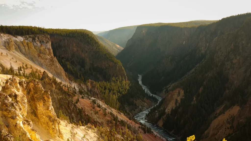
The photo at the top of this page is not Bighorn River.
It is a regional stand-in, honestly captioned but generic — we will not put a name to a river we cannot prove. Send us a photograph you took here and it replaces the stand-in, with your credit on it.
Pioneer badgeUnclaimed
Add a photo of this water
Landscape, not fish — the water itself. Reviewed by hand before it appears. The first one published here earns the Pioneer badge.
Fished this water? Add a photo
Reviewed by hand before it appears. Pick the water, not the spot — we never publish exact locations.
Access
Afterbay Dam, Fort Smith: the top of the tailwater and the busiest boat ramp in Montana.
Lind Ranch: mid-river access on the famous upper thirteen miles.
Bighorn Access (Three Mile): the standard takeout for the upper float.
Mallards Landing: the bottom of the second, quieter float.
Two Leggins and Grant Marsh: lower river access toward Hardin.
The river crosses the Crow Reservation; use designated public access sites and respect tribal land.
Seasons
Year-round tailwater; winter fishing here is genuinely productive.
March through May: baetis hatches and moderate flows, the first big season.
Late June and July: black caddis, then heavy summer flows and heavy boat traffic.
August through October: tricos, terrestrials and the best combination of fish and weather all year.
From the water
No logged trips yet. Be the first to put this water on your map.
Log this water
Fished it or cleaned it? Log in or create a free account to log a trip with photos and earn the waterway badge.
Questions
What is the current flow on the Bighorn River?
As of Oct 18, 5:15 pm, the USGS gauge Bighorn R bl Yellowtail Afterbay Dam nr St. Xavier reads 1,600 cfs, the 14th percentile for this date. Conditions update every 15 minutes.
What species can you catch on the Bighorn River?
Anglers target Brown Trout, Mountain Whitefish, Rainbow Trout on the Bighorn River in Montana.
Are there fishing guides on the Bighorn River?
GuidedFloats lists 5 guides and outfitters on the Bighorn River. Claimed profiles accept booking requests; unclaimed profiles are built from public records and link to the business.
Where can you access the Bighorn River?
Afterbay Dam, Fort Smith: the top of the tailwater and the busiest boat ramp in Montana. Lind Ranch: mid-river access on the famous upper thirteen miles. Bighorn Access (Three Mile): the standard takeout for the upper float. Mallards Landing: the bottom of the second, quieter float. Two Leggins and Grant Marsh: lower river access toward Hardin. The river crosses the Crow Reservation; use designated public access sites and respect tribal land.
When is the best time to fish the Bighorn River?
Year-round tailwater; winter fishing here is genuinely productive. March through May: baetis hatches and moderate flows, the first big season. Late June and July: black caddis, then heavy summer flows and heavy boat traffic. August through October: tricos, terrestrials and the best combination of fish and weather all year.
Where are the fishing regulations for the Bighorn River?
Regulations change by season and section. Read the current rules on the Montana agency site: https://fwp.mt.gov/fish/regulations