Fishes Flathead Lake
Lake · Flathead Valley · Montana
Flathead Lake Fishing Guides
The largest natural freshwater lake west of the Mississippi, twenty-eight miles of clear water under the Mission Mountains, with a lake trout fishery and a complicated conservation story.
Map of the Flathead Lake
23 numbered points: 1 access point, 1 campsite, 17 parks and conservation areas, 1 agency office, 2 hazards, 1 USGS gauge. Tap a marker for details. Reviewed Sep 15, 2026.
- Access / boat ramp (1)
- Campsite (1)
- Park / conservation area (17)
- Agency / conservation office (1)
- Dam / hazard (2)
- USGS gauge (1)
Map data © OpenStreetMap contributors. Points are curated from OpenStreetMap and state agency sources; confirm access and hours before you go.
Print it. Bag it. Bring it.Phones die, screens crack, and most of this water has no signal. Print this map, fold it into a zip-top bag or dry bag with your license, and you have a backup your electronics can’t give you. Every marker is numbered so you can say exactly where you are.
Open the printable mapAll 23 points on this map
| # | Point | Type | Lat, Lon | Notes |
|---|---|---|---|---|
| 1 | Polson / Flathead Lake KOA Holiday Private · Polson | Campsite | 47.69943, -114.18752 | |
| 2 | Seli’š Ksanka Qlispe’ Dam Energy Keepers, Inc. · lake outlet | Dam / hazard | 47.67756, -114.23416 | The dam at the lake's outlet into the Flathead River. |
| 3 | Walstead Park West shore | Park / conservation area | 47.81138, -114.26540 | |
| 4 | Big Arm Unit — Flathead Lake State Park Montana FWP · camping and boat access | Park / conservation area | 47.80869, -114.31265 | Ramp and campground share the site in OpenStreetMap; shown as one point. |
| 5 | Lakeside Community Park Lakeside · town park | Park / conservation area | 48.01970, -114.22328 | OpenStreetMap also carries a “Volunteer Park” 60 m away; treated as the same green. |
| 6 | Flathead Lake State Park — West Shore Unit Montana FWP | Park / conservation area | 47.94939, -114.18845 | |
| 7 | Flathead Waterfowl Production Area US Fish & Wildlife Service · north shore | Park / conservation area | 48.08079, -114.15040 | |
| 8 | Bigfork Ranger Station Flathead National Forest | Agency / conservation office | 48.06619, -114.08324 | |
| 9 | Flathead Lake State Park — Wayfarers Unit Montana FWP · camping and boat access | Park / conservation area | 48.05440, -114.08206 | Unit and campground are mapped separately; shown as one point. |
| 10 | Osborn Landing Bigfork | Access / boat ramp | 48.06153, -114.07203 | The one public boat landing on this lake that OpenStreetMap actually maps as an access. |
| 11 | Sliter Memorial Park Bigfork · town park | Park / conservation area | 48.05862, -114.07280 | |
| 12 | Big Fork Dam Bigfork · Swan River | Dam / hazard | 48.05910, -114.07108 | On the Swan just above its mouth at the lake's north-east corner. |
| 13 | Beardance Picnic Area East shore | Park / conservation area | 47.95637, -114.03441 | |
| 14 | Flathead Picnic Area East shore | Park / conservation area | 47.94106, -114.02789 | |
| 15 | Flathead Lake State Park — Yellow Bay Unit Montana FWP · east shore | Park / conservation area | 47.87578, -114.02836 | |
| 16 | Finley Point Unit — Flathead Lake State Park Montana FWP · camping and boat access | Park / conservation area | 47.75454, -114.08265 | |
| 17 | Mission Bay Preserve South-east shore | Park / conservation area | 47.69521, -114.11283 | |
| 18 | Boettcher Park Polson · town park | Park / conservation area | 47.69791, -114.13317 | |
| 19 | Ducharme Park Polson · town park | Park / conservation area | 47.69357, -114.15416 | |
| 20 | Salish Point Park Polson · town park | Park / conservation area | 47.69670, -114.16039 | |
| 21 | USGS 12371550 — Flathead Lake at Polson USGS gauging station | USGS gauge | 47.69691, -114.16130 | |
| 22 | Sacajawea Park Polson · town park | Park / conservation area | 47.69579, -114.16350 | |
| 23 | Riverside Park Polson · at the outlet | Park / conservation area | 47.69337, -114.16609 |
Guides on the Flathead Lake
Claimed profiles take booking requests. Unclaimed profiles are built from public records so the river is never empty; the guide can claim or remove one any time.
Order on this page: premium and outfitter plans first (labelled Premium placement), then claimed free profiles, then unclaimed — one published price, no bidding for position. How placement works
About the Flathead Lake
Flathead Lake is the largest natural freshwater lake west of the Mississippi, running twenty-eight miles south from the Flathead River delta to Polson under the wall of the Mission Mountains. It is deep, cold and exceptionally clear, and it sits at the centre of one of the more closely watched fisheries management stories in the West.
Lake trout dominate the catch. They were introduced a century ago, expanded dramatically after mysis shrimp were established in the system, and are now the main target for anglers and simultaneously the main problem for the native fish. Both the state and the Confederated Salish and Kootenai Tribes actively encourage lake trout harvest, and there are organised removal events.
The native fish are the other half of the story. Bull trout and westslope cutthroat trout are present, both are of conservation concern, and the rules around them are strict and specific. Anyone fishing here should read the current regulations carefully rather than assume, because they differ from most of Montana and because the southern half of the lake lies within the Flathead Reservation and is managed under tribal rules and permits.
Lake whitefish and yellow perch are abundant and provide excellent everyday fishing, and northern pike hold in the weedy bays and the river delta.
Scale is worth stating plainly. Flathead covers close to two hundred square miles and reaches nearly four hundred feet deep, and the wind can build serious water on it in an afternoon. A boat adequate for a Montana reservoir is not necessarily adequate here.
The gauge below reports lake elevation. Flathead is regulated at Polson, filled through early summer and drawn down through autumn, and the swing is enough to change shoreline access and where fish hold along the drop-offs.
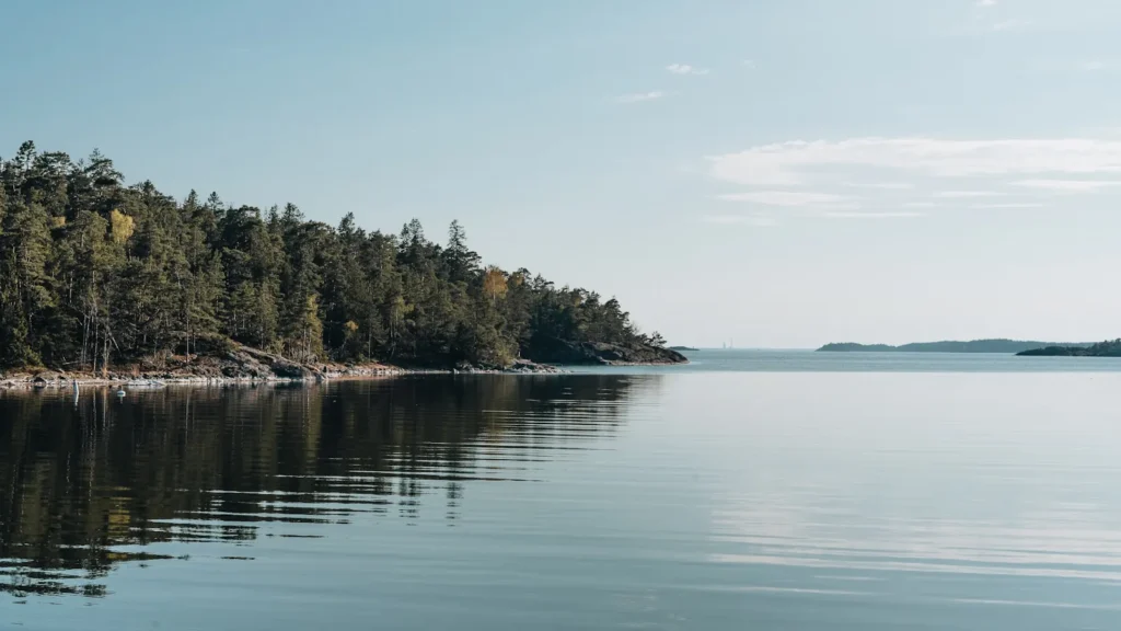
This water needs a real photo
The photo at the top of this page is not Flathead Lake.
It is a regional stand-in, honestly captioned but generic — we will not put a name to a river we cannot prove. Send us a photograph you took here and it replaces the stand-in, with your credit on it.
Pioneer badgeUnclaimed
Add a photo of this water
Landscape, not fish — the water itself. Reviewed by hand before it appears. The first one published here earns the Pioneer badge.
Pool right now
2,891.26ft
- 24 hours-0.06 ft → steady
- For the dateHigh for the date
Reading taken 29 min ago at USGS 12371550, Flathead Lake at Polson MT. Elevation is the surface of the lake above the survey datum, not depth. Source.
Fished this water? Add a photo
Reviewed by hand before it appears. Pick the water, not the spot — we never publish exact locations.
Access
Polson and the south shore: ramps and services, within the Flathead Reservation.
Wayfarers, Yellow Bay and Finley Point state parks: ramps and camping on the east shore.
Somers and Lakeside: north and west shore access.
Big Arm and Elmo: western shore state park access.
The Flathead River delta at the north end is shallower, weedier water.
Kalispell and Polson have full services and guides.
Note: the southern half is within the Flathead Reservation. Tribal permits apply.
Seasons
Winter: lake trout and perch, with limited ice in the sheltered bays.
Spring: lake trout accessible in shallower water and perch in the bays.
Summer: deep lake trout, whitefish, and the clearest water of the year.
Fall: the drawdown, feeding lake trout and very few boats.
From the water
No logged trips yet. Be the first to put this water on your map.
Log this water
Fished it or cleaned it? Log in or create a free account to log a trip with photos and earn the waterway badge.
Questions
What species can you catch on the Flathead Lake?
Anglers target Bull Trout, Lake Trout, Lake Whitefish, Northern Pike, Westslope Cutthroat Trout, Yellow Perch on the Flathead Lake in Montana.
Are there fishing guides on the Flathead Lake?
GuidedFloats lists 1 guide and outfitters on the Flathead Lake. Claimed profiles accept booking requests; unclaimed profiles are built from public records and link to the business.
Where can you access the Flathead Lake?
Polson and the south shore: ramps and services, within the Flathead Reservation. Wayfarers, Yellow Bay and Finley Point state parks: ramps and camping on the east shore. Somers and Lakeside: north and west shore access. Big Arm and Elmo: western shore state park access. The Flathead River delta at the north end is shallower, weedier water. Kalispell and Polson have full services and guides. Note: the southern half is within the Flathead Reservation. Tribal permits apply.
When is the best time to fish the Flathead Lake?
Winter: lake trout and perch, with limited ice in the sheltered bays. Spring: lake trout accessible in shallower water and perch in the bays. Summer: deep lake trout, whitefish, and the clearest water of the year. Fall: the drawdown, feeding lake trout and very few boats.
Where are the fishing regulations for the Flathead Lake?
Regulations change by season and section. Read the current rules on the Montana agency site: https://fwp.mt.gov/fish/regulations