Conesus Lake Fishing Guides
The westernmost Finger Lake, a shallow and fertile eight-mile water south of Rochester with a strong walleye, bass and panfish fishery.
Map of the Conesus Lake
11 numbered points: 4 access points, 1 bait & fly shop, 1 park or conservation area, 1 regulation section limit, 1 hazard, 1 USGS gauge, 2 points of interest. Tap a marker for details. Reviewed Sep 22, 2026.
- Access / boat ramp (4)
- Bait, tackle & fly shop (1)
- Park / conservation area (1)
- Regulation section limit (1)
- Dam / hazard (1)
- USGS gauge (1)
- Point of interest (2)
Print it. Bag it. Bring it.Phones die, screens crack, and most of this water has no signal. Print this map, fold it into a zip-top bag or dry bag with your license, and you have a backup your electronics can’t give you. Every marker is numbered so you can say exactly where you are.
Open the printable mapAll 11 points on this map
| # | Point | Type | Lat, Lon | Notes |
|---|---|---|---|---|
| 1 | Conesus Lake Waterway Access NYSDEC hand launch - north end at Lakeville | Access / boat ramp | 42.83461, -77.70733 | Named on the OSM access polygon; the launch itself is carried in NYSDEC's Boat_Launch_Sites layer, which records parking for about 120 cars. |
| 2 | Doc's Tackle Lakeville - bait, tackle and apparel | Bait, tackle & fly shop | 42.83607, -77.70637 | Tagged shop=fishing in OSM with a street address and phone from the NYS address-point dataset. Confirmed open and trading from the shop's own posts. |
| 3 | Vitale Park Canoe Launch Town of Livonia park - hand launch | Access / boat ramp | 42.83431, -77.70421 | Inside Vitale Park at the north-east corner of the lake. Matches the second NYSDEC hand-launch record at this end, parking for about 50 cars. |
| 4 | Conesus Lake Boat Launch NY State Parks (OPRHP) - hard-surface ramp | Access / boat ramp | 42.77573, -77.71083 | The lake's only hard-surface ramp. East shore, mid-lake; NYSDEC's launch layer records parking for about 70 cars. |
| 5 | Mark's Leisure Time Marina East shore - marina and dockage | Point of interest | 42.76050, -77.71245 | |
| 6 | Smith Boys Jansen Marine of Conesus East shore - marina and fuel dock | Point of interest | 42.74209, -77.71150 | |
| 7 | Conesus Inlet reach limit - at Conesus Lake NYSDEC Region 8 - lower limit of the inlet reach | Regulation section limit | 42.72343, -77.71431 | NYSDEC lists the Conesus Inlet Fish and Wildlife Management Area as its own reach: from Conesus Lake south to and including the dam on Conesus Inlet, excepting the canal west of the inlet and the inlet north of the canal. |
| 8 | Conesus Inlet Access NYSDEC - hand launch at the head of the lake | Access / boat ramp | 42.72226, -77.71561 | In the Conesus Inlet Wildlife Management Area at the south end. NYSDEC's launch layer records parking for about 40 cars. |
| 9 | Conesus Inlet WMA Dam Weir on Conesus Inlet, about 1 km above the lake | Dam / hazard | 42.71556, -77.70915 | Mapped as a weir in OSM. It is the upstream limit named in the NYSDEC reach above, so the water above and below it is described separately. |
| 10 | Long Point Park Livingston County - west shore | Park / conservation area | 42.78101, -77.72112 | County park on the point, with shoreline frontage opposite the state boat launch. |
| 11 | USGS 04227980 - Conesus Lake near Lakeville Lake level | USGS gauge | 42.79425, -77.72075 | Lake-level monitoring location. Coordinates taken from the water's own roster entry, which matches the USGS station in OSM to five decimal places. |
Guides on the Conesus Lake
Claimed profiles take booking requests. Unclaimed profiles are built from public records so the river is never empty; the guide can claim or remove one any time.
No guides listed yet
Guide or outfit this water? Create your profile. Listing is free, the commission is 10% or 7% with a premium profile, and premium profiles list first on this water.
About the Conesus Lake
Conesus is the westernmost of the Finger Lakes and the one least like the rest of them. Where Seneca and Cayuga are deep, cold and oligotrophic, Conesus is about eight miles long, barely a mile wide and shallow – under seventy feet at its deepest – which makes it warm, fertile and highly productive. It sits in farm country a little over twenty miles south of Rochester with a heavily developed shoreline of cottages and year-round homes, and it has been a working recreational lake for well over a century.
The fishery reflects that fertility. Walleye are the primary draw and are both stocked and naturally reproducing, holding on the deeper flats and moving shallow at dusk, which makes evening and night trips the productive pattern through summer. Largemouth bass are abundant in the weed beds and around the extensive dock structure, and smallmouth work the harder bottom near the inlet and the deeper drop-offs. Northern pike and stocked tiger muskie give the lake real predator interest, and chain pickerel are common. Black crappie, bluegill and yellow perch support a heavy panfish following, particularly through the ice.
The lake’s challenges are the familiar ones for shallow fertile water: heavy summer weed growth, periodic harmful algal blooms in late summer, and an ongoing watershed management effort aimed at nutrient loading from the surrounding farmland. Anglers should check the county’s bloom advisories in August and September. Because the lake is small, weekend boat traffic is genuinely felt, and most guided trips run early or late in the day. This gauge near Lakeville reports lake elevation rather than water temperature, so use it for launching and water-level questions and carry a thermometer for timing the walleye bite.
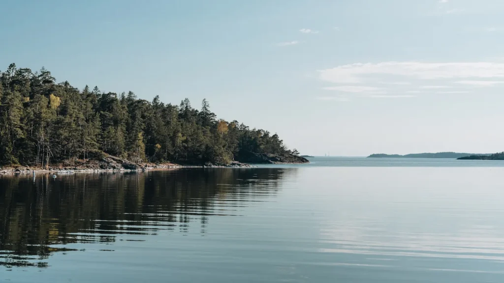
This water needs a real photo
The photo at the top of this page is not Conesus Lake.
It is a regional stand-in, honestly captioned but generic — we will not put a name to a river we cannot prove. Send us a photograph you took here and it replaces the stand-in, with your credit on it.
Add a photo of this water
Landscape, not fish — the water itself. Reviewed by hand before it appears. The first one published here earns the Pioneer badge.
Pool right now
- 24 hours-0.05 ft → steady
- For the dateAbout normal for the date
Reading taken 1h ago at USGS 04227980, CONESUS LAKE NEAR LAKEVILLE NY. Elevation is the surface of the lake above the survey datum, not depth. Source.
Fished this water? Add a photo
Reviewed by hand before it appears. Pick the water, not the spot — we never publish exact locations.
Access
Conesus Lake State Boat Launch at Lakeville - the main public ramp at the north end near the gauge.
Long Point Park on the east shore - town park with parking, shoreline access and a launch.
Vitale Park in Lakeville - developed north-end access and parking.
Conesus Inlet Fish and Wildlife Management Area - south-end marsh access and spring fishing.
McPherson Point on the west shore - informal access and shoreline fishing.
Sandy Bottom Park in Livonia - beach and shoreline access at the north end.
Conesus Inlet Creek - tributary access for spring walleye and pike movement.
Seasons
Spring: the strongest walleye and pike fishing of the year as fish stage near the inlet and the shallow south end.
Summer: heavy weed growth, excellent largemouth fishing on the edges, and after-dark walleye trips to avoid the traffic.
Fall: weeds die back, smallmouth move to the drop-offs and walleye fishing improves again in cooling water.
Winter: a well-established ice fishery for perch, crappie, pike and walleye once the lake locks up.
From the water
No logged trips yet. Be the first to put this water on your map.
Log this water
Fished it or cleaned it? Log in or create a free account to log a trip with photos and earn the waterway badge.
Questions
What species can you catch on the Conesus Lake?
Anglers target Black Crappie, Bluegill, Chain Pickerel, Largemouth Bass, Northern Pike, Smallmouth Bass, Walleye, Yellow Perch on the Conesus Lake in New York.
Where can you access the Conesus Lake?
Conesus Lake State Boat Launch at Lakeville - the main public ramp at the north end near the gauge. Long Point Park on the east shore - town park with parking, shoreline access and a launch. Vitale Park in Lakeville - developed north-end access and parking. Conesus Inlet Fish and Wildlife Management Area - south-end marsh access and spring fishing. McPherson Point on the west shore - informal access and shoreline fishing. Sandy Bottom Park in Livonia - beach and shoreline access at the north end. Conesus Inlet Creek - tributary access for spring walleye and pike movement.
When is the best time to fish the Conesus Lake?
Spring: the strongest walleye and pike fishing of the year as fish stage near the inlet and the shallow south end. Summer: heavy weed growth, excellent largemouth fishing on the edges, and after-dark walleye trips to avoid the traffic. Fall: weeds die back, smallmouth move to the drop-offs and walleye fishing improves again in cooling water. Winter: a well-established ice fishery for perch, crappie, pike and walleye once the lake locks up.
Where are the fishing regulations for the Conesus Lake?
Regulations change by season and section. Read the current rules on the New York agency site: https://dec.ny.gov/things-to-do/freshwater-fishing/regulations