Lookout Point Lake Fishing Guides
The largest reservoir on the Middle Fork Willamette, an hour from Eugene, with a deep drawdown cycle that concentrates bass and crappie into the lower basin by late summer.
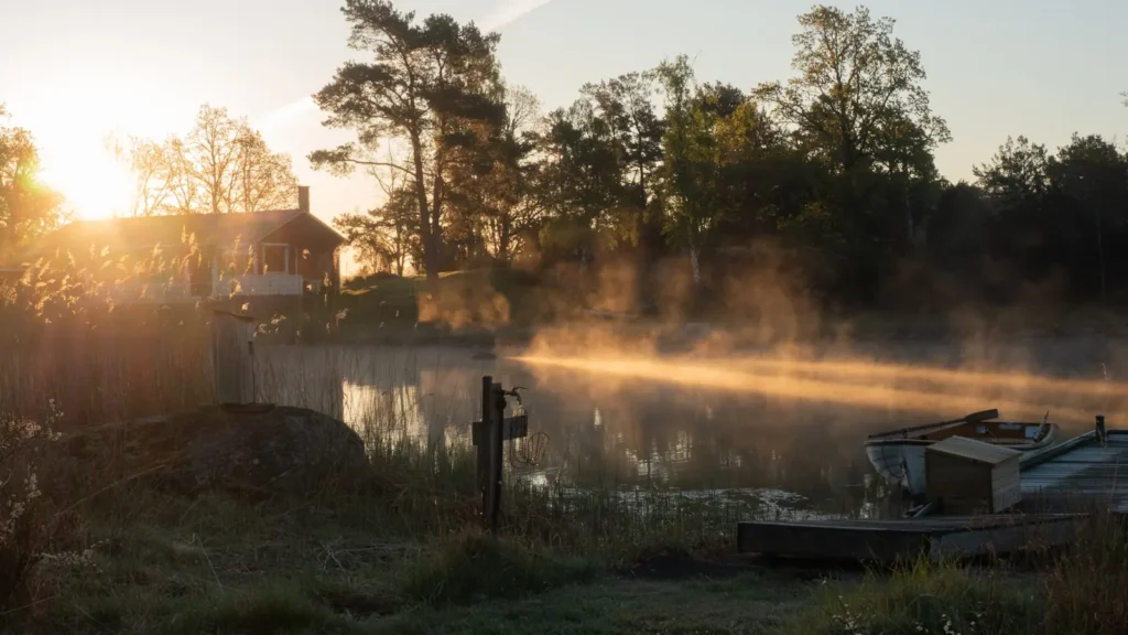
Guides on the Lookout Point Lake
Claimed profiles take booking requests. Unclaimed profiles are built from public records so the river is never empty; the guide can claim or remove one any time.
No guides listed yet
Guide or outfit this water? Create your profile. Listing is free, the commission is 10% or 7% with a premium profile, and premium profiles list first on this water.
About the Lookout Point Lake
Lookout Point Lake is the largest of the Middle Fork Willamette impoundments, held behind a Corps of Engineers dam above the town of Lowell and less than an hour from Eugene. It is a flood-control reservoir first and a recreation water second, and anyone fishing it needs to understand that order of priorities. The lake is filled through the spring, held high through the summer, and then drawn down substantially in the autumn to make room for winter rain. At full pool it is a long, deep, steep-sided lake; by late autumn it is a fraction of that, with wide mud flats and the old river channel exposed.
That cycle governs the fishing completely. Through spring and summer the lake fishes well for rainbow and cutthroat trout in the upper water column and for largemouth and smallmouth bass along the rocky shoreline and around submerged timber. Black crappie and bluegill are abundant and concentrate near structure, and bullhead and mountain whitefish are present. As the drawdown proceeds the fish are pushed into a progressively smaller volume in the lower basin, which makes them easier to find and is why many local anglers prefer the late-season window despite the difficult access.
The gauge reports reservoir elevation on a drainage of about nine hundred and ninety-one square miles, and that elevation reading is the single most practical piece of information for planning a trip. It tells you which ramps are usable, how far the water is from the parking areas, and roughly where the fish will be concentrated. Lookout Point is a Corps project but it carries a live USGS elevation series, which is what makes it reportable here. Oregon regulations are updated regularly and should be checked for current limits.
This water needs a real photo
The photo at the top of this page is not Lookout Point Lake.
It is a regional stand-in, honestly captioned but generic — we will not put a name to a river we cannot prove. Send us a photograph you took here and it replaces the stand-in, with your credit on it.
Add a photo of this water
Landscape, not fish — the water itself. Reviewed by hand before it appears. The first one published here earns the Pioneer badge.
Pool right now
- 24 hours-0.72 ft ↓ falling
Reading taken 35 min ago at USGS 14149000, LOOKOUT POINT LAKE NEAR LOWELL, OR. Elevation is the surface of the lake above the survey datum, not depth. Source.
Fished this water? Add a photo
Reviewed by hand before it appears. Pick the water, not the spot — we never publish exact locations.
Access
Lowell - the town below the dam and the nearest base for supplies and lodging.
Lowell State Recreation Site - the main developed access on the lake, with a boat ramp and day use area.
Dexter - the neighbouring community downstream, between this lake and Dexter Lake.
Lookout Point Dam - the structure at the lower end that governs the lake's level year round.
Highway 58 corridor - the road following the lake's length and the main route to the access points.
Middle Fork Willamette inflow - the upper end, where the river enters and trout concentrate in cooler water.
Eugene - the nearest city, under an hour west, for guides, tackle and travel connections.
Seasons
Spring: the lake fills toward full pool and trout fishing is at its best in the upper water column as the water warms.
Summer: held high for recreation, with bass and crappie along the shoreline structure and the most comfortable boating of the year.
Fall: the drawdown begins and concentrates fish in the lower basin, excellent fishing but with ramps progressively harder to use.
Winter: drawn well down for flood control, with limited access and the lake at its least usable.
From the water
No logged trips yet. Be the first to put this water on your map.
Log this water
Fished it or cleaned it? Log in or create a free account to log a trip with photos and earn the waterway badge.
Questions
What species can you catch on the Lookout Point Lake?
Anglers target Black Crappie, Bluegill, Bullhead, Cutthroat Trout, Largemouth Bass, Mountain Whitefish, Rainbow Trout, Smallmouth Bass on the Lookout Point Lake in Oregon.
Where can you access the Lookout Point Lake?
Lowell - the town below the dam and the nearest base for supplies and lodging. Lowell State Recreation Site - the main developed access on the lake, with a boat ramp and day use area. Dexter - the neighbouring community downstream, between this lake and Dexter Lake. Lookout Point Dam - the structure at the lower end that governs the lake's level year round. Highway 58 corridor - the road following the lake's length and the main route to the access points. Middle Fork Willamette inflow - the upper end, where the river enters and trout concentrate in cooler water. Eugene - the nearest city, unde...
When is the best time to fish the Lookout Point Lake?
Spring: the lake fills toward full pool and trout fishing is at its best in the upper water column as the water warms. Summer: held high for recreation, with bass and crappie along the shoreline structure and the most comfortable boating of the year. Fall: the drawdown begins and concentrates fish in the lower basin, excellent fishing but with ramps progressively harder to use. Winter: drawn well down for flood control, with limited access and the lake at its least usable.
Where are the fishing regulations for the Lookout Point Lake?
Regulations change by season and section. Read the current rules on the Oregon agency site: https://myodfw.com/recreation-report/regulation-updates