Black Earth Creek Fishing Guides
One of the best known limestone spring creeks in the Midwest, a Dane County valley with wild brown trout inside half an hour of Madison.
Map of the Black Earth Creek
36 numbered points: 1 campsite, 16 bridges, 16 parks and conservation areas, 1 agency office, 1 hazard, 1 USGS gauge. Tap a marker for details. Reviewed Sep 25, 2026.
- Campsite (1)
- Bridge crossing (16)
- Park / conservation area (16)
- Agency / conservation office (1)
- Dam / hazard (1)
- USGS gauge (1)
Print it. Bag it. Bring it.Phones die, screens crack, and most of this water has no signal. Print this map, fold it into a zip-top bag or dry bag with your license, and you have a backup your electronics can’t give you. Every marker is numbered so you can say exactly where you are.
Open the printable mapAll 36 points on this map
| # | Point | Type | Lat, Lon | Notes |
|---|---|---|---|---|
| 1 | Black Earth Creek Natural Resource Area – Headwaters Dane County · creek headwaters | Park / conservation area | 43.10019, -89.54621 | County natural resource area on the spring headwaters east of Cross Plains, at the top of the trout water. |
| 2 | Ice Age National Scenic Trail Office National Park Service · 1.3 km from the creek | Agency / conservation office | 43.08182, -89.61185 | NPS office for the Ice Age National Scenic Trail at Cross Plains. Listed for contact, not as an access. |
| 3 | Cross Plains State Park Wisconsin DNR · 0.9 km from the creek | Park / conservation area | 43.08541, -89.61331 | DNR unit in the Black Earth Creek valley at Cross Plains, still being assembled. |
| 4 | Stagecoach Road Road crossing | Bridge crossing | 43.09677, -89.62568 | Upper-valley crossing above Cross Plains. |
| 5 | Black Earth Creek Fishery Area Wisconsin DNR · uppermost parcel | Park / conservation area | 43.09818, -89.63285 | DNR fishery-area land on the upper creek above Cross Plains. Public wading access. |
| 6 | Mammoth's Back Preserve Ice Age Trail Alliance | Park / conservation area | 43.10123, -89.63806 | Preserve on the valley side at Cross Plains, 0.07 km from the creek. |
| 7 | County Highway P Road crossing · Cross Plains | Bridge crossing | 43.11089, -89.64555 | Crossing at the head of Cross Plains village. |
| 8 | Main Street Road crossing · Cross Plains | Bridge crossing | 43.11186, -89.64609 | Village crossing in Cross Plains. |
| 9 | Zander Community Nature Park Village of Cross Plains | Park / conservation area | 43.11270, -89.65230 | Village nature park with creek frontage below Cross Plains, 0.09 km from the water. |
| 10 | Black Earth Creek Fishery Area Wisconsin DNR · Cross Plains reach | Park / conservation area | 43.11373, -89.65566 | DNR fishery-area land immediately below Cross Plains. |
| 11 | Market Street Road crossing | Bridge crossing | 43.11301, -89.66017 | Crossing below Cross Plains. |
| 12 | US Highway 14 Road crossing | Bridge crossing | 43.11515, -89.66414 | First of three US 14 crossings down the valley. |
| 13 | Andersen Preserve dispersed camping area Ice Age Trail Alliance · 0.86 km from the creek | Campsite | 43.12428, -89.65854 | Dispersed campsite on the S.B. Andersen Memorial Preserve above the creek valley. |
| 14 | Festge County Park Dane County Parks · 0.69 km from the creek | Park / conservation area | 43.12382, -89.68480 | Bluff-top county park overlooking the Black Earth Creek valley. |
| 15 | Black Earth Creek Fishery Area Wisconsin DNR · Salmo Pond reach | Park / conservation area | 43.11723, -89.68742 | DNR fishery-area land on the reach above Salmo Pond. |
| 16 | Salmo Pond County Park Dane County Parks · WI DNR shore-fishing site | Park / conservation area | 43.11868, -89.69150 | County park on the pond beside the creek; the only Wisconsin DNR shore-fishing site on this water. |
| 17 | South Valley Road Road crossing | Bridge crossing | 43.12493, -89.70976 | Mid-valley crossing between Salmo Pond and Black Earth. |
| 18 | Black Earth Creek Fishery Area Wisconsin DNR · above Black Earth | Park / conservation area | 43.13176, -89.72702 | DNR fishery-area land on the reach above Black Earth village. |
| 19 | USGS 05406500 · Black Earth Creek at Black Earth Live stage and discharge | USGS gauge | 43.13417, -89.73222 | Placed on the roster gauge coordinate, which falls on the centreline at Black Earth, 0.03 km off the line. |
| 20 | Kahl Road Road crossing · Black Earth | Bridge crossing | 43.13712, -89.74154 | Crossing at Black Earth village. |
| 21 | Creekside Park Village of Black Earth | Park / conservation area | 43.13774, -89.74240 | Village park on the creek in Black Earth, 0.05 km from the water. |
| 22 | US Highway 14 Road crossing · Black Earth | Bridge crossing | 43.14167, -89.74333 | Second US 14 crossing, at Black Earth. |
| 23 | Black Earth Creek Fishery Area Wisconsin DNR · below Black Earth | Park / conservation area | 43.14480, -89.74797 | DNR fishery-area land on the reach below Black Earth. |
| 24 | State Street Road crossing · Black Earth | Bridge crossing | 43.14332, -89.74974 | Village crossing below Black Earth. |
| 25 | Olson Road Road crossing | Bridge crossing | 43.15618, -89.77639 | Lower-valley crossing above Mazomanie. |
| 26 | Black Earth Creek Fishery Area Wisconsin DNR · lowest parcel | Park / conservation area | 43.16107, -89.77107 | Lowest DNR fishery-area parcel, on the reach above Mazomanie. |
| 27 | Helen's Bridge Named road crossing | Bridge crossing | 43.16395, -89.77746 | Named crossing on the lower creek above the Mazomanie dam. |
| 28 | Mazomanie Dam WI dam 2WP881 | Dam / hazard | 43.16669, -89.78323 | Dam at Mazomanie impounding Lake Marion. No through route over the structure. |
| 29 | Lake Marion Park Village of Mazomanie | Park / conservation area | 43.16818, -89.78480 | Village park on the Lake Marion impoundment, 0.08 km from the water. |
| 30 | Hudson Street Road crossing · Mazomanie | Bridge crossing | 43.17670, -89.78785 | Village crossing in Mazomanie. |
| 31 | Bridge Street Road crossing · Mazomanie | Bridge crossing | 43.17979, -89.79555 | Village crossing below Mazomanie. |
| 32 | Lions Park Village of Mazomanie | Park / conservation area | 43.17921, -89.80347 | Village park on the creek below Mazomanie, 0.12 km from the water. |
| 33 | Walking Iron County Park Dane County Parks · 0.65 km from the creek | Park / conservation area | 43.18430, -89.81388 | County park on the lower creek corridor west of Mazomanie. |
| 34 | Hudson Road Road crossing | Bridge crossing | 43.17655, -89.81856 | Lower crossing on the reach toward the Wisconsin River. |
| 35 | Morrill Road Road crossing | Bridge crossing | 43.16430, -89.84312 | Crossing on the lowest reach. |
| 36 | Blynn Road Road crossing | Bridge crossing | 43.16277, -89.86287 | Last road crossing above the mouth. |
Guides on the Black Earth Creek
Claimed profiles take booking requests. Unclaimed profiles are built from public records so the river is never empty; the guide can claim or remove one any time.
No guides listed yet
Guide or outfit this water? Create your profile. Listing is free, the commission is 10% or 7% with a premium profile, and premium profiles list first on this water.
About the Black Earth Creek
Black Earth Creek runs west through a narrow Driftless valley from Cross Plains, past Black Earth and Mazomanie, toward the Wisconsin River. It is one of the most written about trout streams in the Midwest and one of the very few nationally recognized wild trout fisheries that sits within a short drive of a major city. Madison is roughly half an hour east, which shapes both the pressure the creek receives and the amount of attention its management gets.
It is a genuine limestone spring creek. The valley sits in the Driftless Area, the corner of the upper Midwest the last glaciation missed, and the creek is fed by groundwater emerging from dolomite and sandstone rather than by surface runoff off a till plain. That gives it stable cold flows through the summer, water that stays open through a Wisconsin winter, and the dissolved minerals that support the heavy scud, sowbug and mayfly populations behind the fast trout growth here.
Brown trout are the fish and the population is wild and self sustaining through most of the creek. The fish run larger than the small stream average, and the lower reaches in particular hold browns that surprise people who expect a creek this size to produce only modest trout. Brook trout occupy the coldest spring fed headwater tributaries, and rainbows appear in some of the more heavily used public water. Decades of habitat work have shaped the stream substantially.
Access is the reason it is fishable at all given its reputation. Wisconsin holds extensive public fishing easements along the valley, marked and legally walkable, and there are state wildlife and fishery areas on the corridor as well. The easement system means anglers can fish long stretches without asking permission, which is unusual for private valley farmland and is the single biggest practical difference between this creek and much of the Driftless.
The fishing is technical and the creek fishes smaller than its reputation suggests. Clear spring water, wary wild browns and open grassy banks mean the fish usually see the angler first. Staying low, approaching from downstream and using fine tippet matter more than fly choice. Scuds and sowbugs work all year, caddis and small mayflies carry the spring and early summer, and terrestrials fished tight to the grass edge are as reliable as anything from midsummer on.
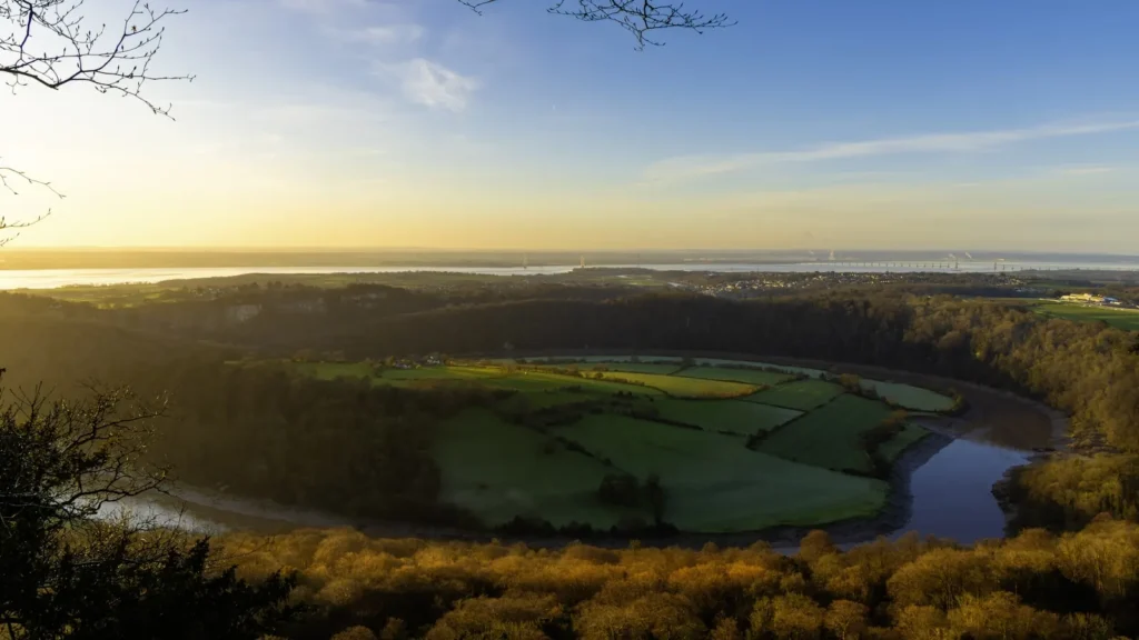
This water needs a real photo
The photo at the top of this page is not Black Earth Creek.
It is a regional stand-in, honestly captioned but generic — we will not put a name to a river we cannot prove. Send us a photograph you took here and it replaces the stand-in, with your credit on it.
Add a photo of this water
Landscape, not fish — the water itself. Reviewed by hand before it appears. The first one published here earns the Pioneer badge.
Fished this water? Add a photo
Reviewed by hand before it appears. Pick the water, not the spot — we never publish exact locations.
Access
Black Earth - the village on the creek and the gauge location.
Cross Plains - the village at the upper end of the trout water.
Black Earth Creek Wildlife Area - the state tract on the lower valley.
Wisconsin public fishing easements - the marked walkable easements along the valley.
Mazomanie - the village near the lower creek toward the Wisconsin River.
Madison - the nearest city, roughly half an hour east, with full services.
Wisconsin River - the larger river receiving the creek below Mazomanie.
Seasons
Spring: rising water and the first strong hatches, with the creek off color after heavy rain.
Summer: stable cold spring flows, heavy terrestrial fishing and the most technical conditions.
Fall: cooling water and brown trout coloring for the spawn in quiet valley stretches.
Winter: open water at the springs and a genuine catch and release winter season.
From the water
No logged trips yet. Be the first to put this water on your map.
Log this water
Fished it or cleaned it? Log in or create a free account to log a trip with photos and earn the waterway badge.
Questions
What is the current flow on the Black Earth Creek?
As of Nov 2, 6:00 am, the USGS gauge BLACK EARTH CREEK AT BLACK EARTH, WI reads 38 cfs. Conditions update every 15 minutes.
What species can you catch on the Black Earth Creek?
Anglers target Brook Trout, Brown Trout, Rainbow Trout on the Black Earth Creek in Wisconsin.
Where can you access the Black Earth Creek?
Black Earth - the village on the creek and the gauge location. Cross Plains - the village at the upper end of the trout water. Black Earth Creek Wildlife Area - the state tract on the lower valley. Wisconsin public fishing easements - the marked walkable easements along the valley. Mazomanie - the village near the lower creek toward the Wisconsin River. Madison - the nearest city, roughly half an hour east, with full services. Wisconsin River - the larger river receiving the creek below Mazomanie.
When is the best time to fish the Black Earth Creek?
Spring: rising water and the first strong hatches, with the creek off color after heavy rain. Summer: stable cold spring flows, heavy terrestrial fishing and the most technical conditions. Fall: cooling water and brown trout coloring for the spawn in quiet valley stretches. Winter: open water at the springs and a genuine catch and release winter season.
Where are the fishing regulations for the Black Earth Creek?
Regulations change by season and section. Read the current rules on the Wisconsin agency site: https://dnr.wisconsin.gov/topic/fishing/regulations