Fishes Carters Lake, Lake Allatoona
Reservoir · North Georgia mountains · Georgia
Carters Lake Fishing Guides
The deepest lake in Georgia, a pumped-storage project in the mountains with almost no shoreline development and a daily water-level swing that fish respond to.
Map of the Carters Lake
10 numbered points: 5 access points, 2 campsites, 1 outfitter, 1 hazard, 1 USGS gauge. Tap a marker for details. Reviewed Sep 26, 2026.
- Access / boat ramp (5)
- Campsite (2)
- Outfitter / canoe rental (1)
- Dam / hazard (1)
- USGS gauge (1)
Map data © OpenStreetMap contributors. Points are curated from OpenStreetMap and state agency sources; confirm access and hours before you go.
Print it. Bag it. Bring it.Phones die, screens crack, and most of this water has no signal. Print this map, fold it into a zip-top bag or dry bag with your license, and you have a backup your electronics can’t give you. Every marker is numbered so you can say exactly where you are.
Open the printable mapAll 10 points on this map
| # | Point | Type | Lat, Lon | Notes |
|---|---|---|---|---|
| 1 | Carters Dam Corps of Engineers, Murray County | Dam / hazard | 34.61371, -84.67125 | The 445-ft earthen dam at the lake's west end - the highest east of the Mississippi. Pumped-storage generation moves the reregulation pool below it without warning. |
| 2 | USGS gauge - Carters Lake Roster gauge coordinate | USGS gauge | 34.61658, -84.67311 | Lake level and outflow for the Carters project. Check it before a pumped-storage day; the reregulation pool below the dam rises fast. |
| 3 | Dam Site COE, Murray County - paved ramp, fee | Access / boat ramp | 34.60684, -84.65715 | The ramp closest to the dam and the usual launch for the lower lake. Campground and day-use area on the same road. |
| 4 | Carters Lake Marina and Resort Private marina, Gilmer County | Outfitter / canoe rental | 34.60245, -84.65063 | The lake's only marina - slips, fuel, boat and pontoon rental, cabins. The one place on Carters to hire a boat. |
| 5 | Woodring Branch Day Use Area COE, Gilmer County - paved ramp, fee | Access / boat ramp | 34.61021, -84.63555 | Mid-lake ramp and swim beach on the north shore, separate from the campground 900 m west. |
| 6 | Woodring Branch Camping Area COE campground, Gilmer County | Campsite | 34.61262, -84.64596 | Corps campground on the north shore with its own launch. Open seasonally; reservable. |
| 7 | Doll Mountain Day Use Area COE, Gilmer County - paved ramp, fee | Access / boat ramp | 34.61080, -84.61525 | Ramp on the Doll Mountain peninsula, the usual launch for the upper Coosawattee arm. |
| 8 | Doll Mountain Camping Area COE campground, Gilmer County | Campsite | 34.60932, -84.61816 | Corps campground beside the Doll Mountain ramp, 200 m from the day-use area. |
| 9 | Ridgeway COE, Gilmer County - paved ramp, fee | Access / boat ramp | 34.65055, -84.61031 | The northernmost ramp on the lake, on the Tails Creek arm. Mountain-bike trailhead at the same site. |
| 10 | Coosawattee - Carters Lake WMA COE / WMA - paved ramp, no fee | Access / boat ramp | 34.61026, -84.67930 | On the reregulation reservoir BELOW Carters Dam, not on the lake itself. The tailwater launch; water level here swings with generation. |
Guides on the Carters Lake
Claimed profiles take booking requests. Unclaimed profiles are built from public records so the river is never empty; the guide can claim or remove one any time.
Order on this page: premium and outfitter plans first (labelled Premium placement), then claimed free profiles, then unclaimed — one published price, no bidding for position. How placement works
About the Carters Lake
Carters is the deepest lake in Georgia and it neither looks nor fishes like the rest of the state. The Corps built it as a pumped-storage project on the Coosawattee River in the mountains north of Ellijay, and the combination of great depth, steep forested shoreline and almost no private development gives it clear water and a genuinely remote feel within about two hours of Atlanta.
Spotted bass are the primary fishery and they behave the way spots behave in deep clear water: relating to bluff ends, points and bait rather than to cover, and feeding well off the bank in water most anglers would idle straight over. Largemouth are present but secondary. The lake also holds walleye, which is unusual this far south and is the result of stocking into water cold enough to support them through the summer.
Pumped storage is the thing to understand before fishing Carters. Water is moved between the main lake and the reregulation pool below the dam, and the resulting level change is larger and faster than on a conventional reservoir. It can move within a single day. Fish respond to that movement, and anglers who fish it often plan around the generation schedule at least as much as around the weather.
Access is almost entirely through Corps recreation areas, and there is no strip of docks and boathouses to fish. That absence changes the game: without shoreline cover to work along, anglers here spend their time on offshore structure, on the timber lines left in the creek arms, and on bait. It rewards electronics and patience more than casting accuracy.
The gauge below gives the lake surface elevation. On most reservoirs that number tells you about the season. On Carters it tells you about today.
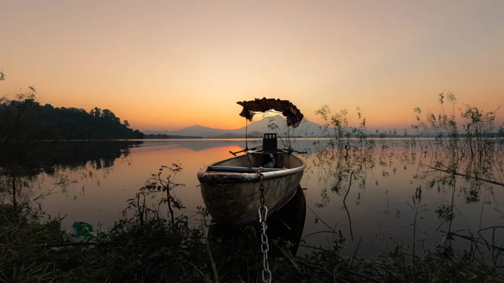
This water needs a real photo
The photo at the top of this page is not Carters Lake.
It is a regional stand-in, honestly captioned but generic — we will not put a name to a river we cannot prove. Send us a photograph you took here and it replaces the stand-in, with your credit on it.
Pioneer badgeUnclaimed
Add a photo of this water
Landscape, not fish — the water itself. Reviewed by hand before it appears. The first one published here earns the Pioneer badge.
Pool right now
1,071.76ft
- 24 hours+0.23 ft ↑ rising
- For the dateAbout normal for the date
Reading taken 51 min ago at USGS 02381400, CARTERS LAKE NEAR CARTERS, GA. Elevation is the surface of the lake above the survey datum, not depth. Source.
Fished this water? Add a photo
Reviewed by hand before it appears. Pick the water, not the spot — we never publish exact locations.
Access
Woodring Branch: Corps ramp and campground on the north side.
Doll Mountain: Corps ramp, camping and access to the upper lake.
Ridgeway: day-use ramp with quick access to the main lake.
Damsite and the reregulation pool: bank access and a separate small fishery below.
Carters Lake Marina: the only marina on the lake, with fuel and rentals.
Coosawattee arm: the upper end, shallower and first to colour after rain.
Note: development is minimal, so nearly all access is through Corps recreation areas.
Seasons
Winter: deep, clear and slow, with walleye beginning to move toward the upper end.
Spring: the best all-round fishing, spotted bass shallow and walleye catchable.
Summer: deep fish, very clear water, early starts and light line.
Fall: cooling water brings bait and bass back up onto the points.
From the water
No logged trips yet. Be the first to put this water on your map.
Log this water
Fished it or cleaned it? Log in or create a free account to log a trip with photos and earn the waterway badge.
Questions
What species can you catch on the Carters Lake?
Anglers target Black Crappie, Bluegill, Channel Catfish, Largemouth Bass, Spotted Bass, Walleye on the Carters Lake in Georgia.
Are there fishing guides on the Carters Lake?
GuidedFloats lists 1 guide and outfitters on the Carters Lake. Claimed profiles accept booking requests; unclaimed profiles are built from public records and link to the business.
Where can you access the Carters Lake?
Woodring Branch: Corps ramp and campground on the north side. Doll Mountain: Corps ramp, camping and access to the upper lake. Ridgeway: day-use ramp with quick access to the main lake. Damsite and the reregulation pool: bank access and a separate small fishery below. Carters Lake Marina: the only marina on the lake, with fuel and rentals. Coosawattee arm: the upper end, shallower and first to colour after rain. Note: development is minimal, so nearly all access is through Corps recreation areas.
When is the best time to fish the Carters Lake?
Winter: deep, clear and slow, with walleye beginning to move toward the upper end. Spring: the best all-round fishing, spotted bass shallow and walleye catchable. Summer: deep fish, very clear water, early starts and light line. Fall: cooling water brings bait and bass back up onto the points.
Where are the fishing regulations for the Carters Lake?
Regulations change by season and section. Read the current rules on the Georgia agency site: https://georgiawildlife.com/fishing-regulations