Spring Creek Fishing Guides
A genuine limestone spring creek in the Dougherty Plain karst of southwest Georgia, drained by four hundred and ninety square miles of sinkhole country and running clear into the upper end of Lake Seminole.
Guides on the Spring Creek
Claimed profiles take booking requests. Unclaimed profiles are built from public records so the river is never empty; the guide can claim or remove one any time.
No guides listed yet
Guide or outfit this water? Create your profile. Listing is free, the commission is 10% or 7% with a premium profile, and premium profiles list first on this water.
About the Spring Creek
Spring Creek drains four hundred and ninety square miles of the Dougherty Plain, the limestone karst belt of southwest Georgia, and reaches Lake Seminole a short distance below the gauge near Iron City. It is a spring creek in the literal sense rather than the borrowed one. The underlying Floridan aquifer feeds the channel through springs and seeps along its length, and that groundwater contribution is what keeps the creek flowing and comparatively clear through a dry southern summer when surface-fed streams nearby are reduced to pools.
The gauge reads rainfall, discharge and stage. On a karst stream the relationship between those three is worth understanding before a trip, because a rain event on the Dougherty Plain can vanish into sinkholes rather than reaching the channel, and a modest rainfall total does not always produce the rise you would expect. Flow is the number that matters most here, and a steady reading generally means clear water and a good day.
The creek runs over limestone ledge and gravel with sand between, and it holds rock structure of a kind that is scarce elsewhere in the coastal plain. That rock is why shoal bass are present, a species with a limited range centred on the Apalachicola basin and one of the more sought-after fish in the state. Largemouth and spotted bass share the water, redear sunfish grow large on the abundant snails, and bluegill and redbreast sunfish are everywhere. Crappie push up from Seminole in spring, and channel and flathead catfish hold in the deeper bends.
The lower reach backs up into Lake Seminole and is boatable; the upper creek is small, shaded water best suited to a kayak, a canoe or wading where the landowner situation allows.
This water needs a real photo
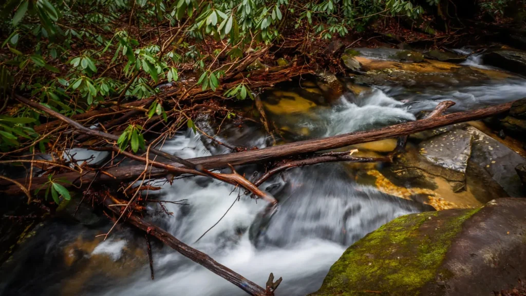
The photo at the top of this page is not Spring Creek.
It is a regional stand-in, honestly captioned but generic — we will not put a name to a river we cannot prove. Send us a photograph you took here and it replaces the stand-in, with your credit on it.
Add a photo of this water
Landscape, not fish — the water itself. Reviewed by hand before it appears. The first one published here earns the Pioneer badge.
Fished this water? Add a photo
Reviewed by hand before it appears. Pick the water, not the spot — we never publish exact locations.
Access
Iron City - the closest small town, immediately upstream of the gauge, with basic services.
Colquitt - the Miller County seat to the north, with fuel, food, lodging and tackle.
Lake Seminole - the reservoir the creek enters, with numerous public ramps within a short drive.
Seminole State Park - a developed public park on the lake with camping, cabins and a ramp.
Bainbridge - the nearest city of size, roughly half an hour east, with guides and full services.
Spring Creek Park - a county access point on the lower creek near the lake end.
Donalsonville - the Seminole County seat to the south, with additional lodging.
Seasons
Spring: shoal bass and largemouth turn on over the rock, and crappie push up out of Seminole into the lower creek.
Summer: the spring flow keeps the creek cooler and clearer than the surrounding country, making this one of the better hot-weather options in the region.
Fall: excellent bass fishing as the water cools, with shoal bass holding on the ledges and sunfish still active.
Winter: low and very clear, which makes for technical sight fishing on the shoals and reliable catfishing in the deeper bends.
From the water
No logged trips yet. Be the first to put this water on your map.
Log this water
Fished it or cleaned it? Log in or create a free account to log a trip with photos and earn the waterway badge.
Questions
What is the current flow on the Spring Creek?
As of Oct 18, 5:00 pm, the USGS gauge SPRING CREEK NEAR IRON CITY, GA reads 305 cfs. Conditions update every 15 minutes.
What species can you catch on the Spring Creek?
Anglers target Black Crappie, Bluegill, Bowfin, Chain Pickerel, Channel Catfish, Flathead Catfish, Largemouth Bass, Longnose Gar, Redbreast Sunfish, Redear Sunfish, Shoal Bass, Spotted Bass, Warmouth, White Crappie on the Spring Creek in Georgia.
Where can you access the Spring Creek?
Iron City - the closest small town, immediately upstream of the gauge, with basic services. Colquitt - the Miller County seat to the north, with fuel, food, lodging and tackle. Lake Seminole - the reservoir the creek enters, with numerous public ramps within a short drive. Seminole State Park - a developed public park on the lake with camping, cabins and a ramp. Bainbridge - the nearest city of size, roughly half an hour east, with guides and full services. Spring Creek Park - a county access point on the lower creek near the lake end. Donalsonville - the Seminole County seat to the south, wit...
When is the best time to fish the Spring Creek?
Spring: shoal bass and largemouth turn on over the rock, and crappie push up out of Seminole into the lower creek. Summer: the spring flow keeps the creek cooler and clearer than the surrounding country, making this one of the better hot-weather options in the region. Fall: excellent bass fishing as the water cools, with shoal bass holding on the ledges and sunfish still active. Winter: low and very clear, which makes for technical sight fishing on the shoals and reliable catfishing in the deeper bends.
Where are the fishing regulations for the Spring Creek?
Regulations change by season and section. Read the current rules on the Georgia agency site: https://georgiawildlife.com/fishing-regulations