Ogeechee River Fishing Guides
A free-flowing blackwater river across the Georgia coastal plain with no dams on its mainstem, best known for its redbreast sunfish fishery.
Map of the Ogeechee River
18 numbered points: 8 access points, 4 bridges, 4 parks and conservation areas, 1 USGS gauge, 1 point of interest. Tap a marker for details. Reviewed Sep 26, 2026.
- Access / boat ramp (8)
- Bridge crossing (4)
- Park / conservation area (4)
- USGS gauge (1)
- Point of interest (1)
Print it. Bag it. Bring it.Phones die, screens crack, and most of this water has no signal. Print this map, fold it into a zip-top bag or dry bag with your license, and you have a backup your electronics can’t give you. Every marker is numbered so you can say exactly where you are.
Open the printable mapAll 18 points on this map
| # | Point | Type | Lat, Lon | Notes |
|---|---|---|---|---|
| 1 | Carters Ford Road Southwest Warren County | Bridge crossing | 33.47744, -82.87061 | The first mapped crossing on the river. On the upper Ogeechee the road bridges are the only places to reach the water for 90 km. |
| 2 | Powelton Road Hancock-Warren county line | Bridge crossing | 33.43717, -82.84685 | Public road crossing; no ramp and no parking on the record. |
| 3 | Macon Highway Warren County | Bridge crossing | 33.29546, -82.78154 | GA 16 crossing. No mapped access here, but it breaks a long bridgeless stretch. |
| 4 | Agricola Road Jefferson-Glascock county line | Bridge crossing | 33.19777, -82.74104 | The last crossing above the GA 88 ramp, about 35 km upstream of it. |
| 5 | State Highway 88 DNR-WRD, Jefferson County | Access / boat ramp | 33.04463, -82.60337 | The uppermost public ramp on the Ogeechee, at the Fall Line Freeway crossing. The USGS gauge sits within a few metres of it. |
| 6 | USGS gauge - Ogeechee River at GA 88 USGS streamgage | USGS gauge | 33.04458, -82.60367 | The stage and discharge gauge the water page reads. Coordinates come from the site roster. |
| 7 | US Highway 1 (SR4) DNR-WRD, Jefferson County | Access / boat ramp | 32.96782, -82.39027 | DNR ramp at the US 1 crossing, 37 km below the GA 88 ramp. |
| 8 | State Highway 78 DNR-WRD, Jefferson County | Access / boat ramp | 32.86993, -82.31930 | DNR ramp at the Midville Highway crossing. |
| 9 | Oliver Bridge WMA DNR, Bulloch County | Access / boat ramp | 32.49453, -81.55600 | The only public access in the 142 km between the GA 78 ramp and Morgan's Bridge. Canoe access and bank fishing; status not stated on the DNR record. |
| 10 | Morgan's Bridge (SR204) DNR-WRD, Bryan County | Access / boat ramp | 32.07971, -81.38559 | DNR ramp at the GA 204 crossing, where the river turns tidal. OSM slipway confirms. |
| 11 | Joyner's Corner Tackle shop, Bryan County | Point of interest | 32.08193, -81.37222 | Mapped as a fishing shop about 1 km from Morgan's Bridge - the only tackle storefront found on the whole river. |
| 12 | Great Ogeechee Lakes Chatham County Parks & Recreation | Park / conservation area | 32.04236, -81.34689 | County park on the tidal river below the Canal Trail. |
| 13 | Savannah Ogeechee Canal Trail Chatham County Parks & Recreation | Park / conservation area | 32.02176, -81.31997 | Trail park along the old Savannah-Ogeechee Canal on the river's north bank. |
| 14 | Blue Sky Preserve Chatham County Parks & Recreation | Park / conservation area | 31.99888, -81.30326 | County preserve on the tidal river above King's Ferry. |
| 15 | Kings Ferry DNR-CRD, Chatham County | Access / boat ramp | 31.97862, -81.28800 | Coastal Resources ramp at the US 17 crossing. Tidal water; no bank fishing on the DNR record. |
| 16 | Fort McAllister Marina Private marina, Bryan County | Access / boat ramp | 31.88580, -81.21209 | Marina ramp near the mouth; fee. |
| 17 | Fort McAllister / Ogeechee River DNR-CRD, Bryan County | Access / boat ramp | 31.88924, -81.20380 | The lowest public ramp on the river, beside Fort McAllister. Tidal. |
| 18 | Fort McAllister State Park Georgia State Parks & Historic Sites | Park / conservation area | 31.88532, -81.19465 | State park and Civil War earthwork at the mouth. Mapped about 1 km off the channel. |
Guides on the Ogeechee River
Claimed profiles take booking requests. Unclaimed profiles are built from public records so the river is never empty; the guide can claim or remove one any time.
No guides listed yet
Guide or outfit this water? Create your profile. Listing is free, the commission is 10% or 7% with a premium profile, and premium profiles list first on this water.
About the Ogeechee River
The Ogeechee is one of the longest undammed rivers in the United States, running roughly two hundred and fifty miles from the fall line in east-central Georgia to Ossabaw Sound south of Savannah without a single mainstem dam. That absence is the reason it fishes the way it does. The river rises and falls with rainfall alone, it moves sand and rebuilds sandbars freely, and it retains the tea-coloured blackwater character – stained with tannin from the swamp forest, acidic and low in sediment – that has largely been engineered out of comparable southern rivers.
The signature fishery is redbreast sunfish, called redbellies locally, and the Ogeechee is one of the best rivers in the Southeast for them. They hold along the cypress knees, the undercut banks and the woody structure that the river constantly rearranges, and the traditional method is a small boat drifting the bends with crickets or small spinners. Largemouth bass are strong throughout, and the river also carries bowfin, longnose gar, chain pickerel, black crappie and a serious channel and flathead catfish fishery. Striped bass and shad push into the lower reaches from tidewater in spring.
The river’s public reputation was badly damaged by a large fish kill in 2011 traced to an industrial discharge, and the recovery, monitoring and litigation that followed are still part of the local conversation. The fishery itself has rebounded well. Practically, anglers should expect shallow, sandy, snag-filled water best run in a jon boat or a kayak, with launches spaced widely and long stretches of river between them. This gauge at the Georgia 88 crossing near Grange reads the upper river and reports discharge and stage but no usable water temperature series.
This water needs a real photo
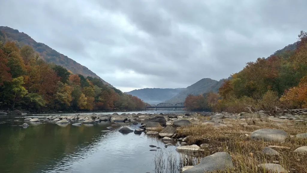
The photo at the top of this page is not Ogeechee River.
It is a regional stand-in, honestly captioned but generic — we will not put a name to a river we cannot prove. Send us a photograph you took here and it replaces the stand-in, with your credit on it.
Add a photo of this water
Landscape, not fish — the water itself. Reviewed by hand before it appears. The first one published here earns the Pioneer badge.
Fished this water? Add a photo
Reviewed by hand before it appears. Pick the water, not the spot — we never publish exact locations.
Access
Georgia 88 bridge near Grange - the crossing at the gauge, with informal launching.
Rocky Ford landing in Screven County - established ramp on the middle river.
Highway 24 bridge landing near Millen - public access with parking.
Dover landing off Highway 80 - a widely used middle-river launch.
Kings Ferry Park on Highway 17 south of Savannah - developed lower-river access and ramp.
Morgan's Bridge landing in Bulloch County - middle-river ramp near Statesboro.
Fort McAllister State Park - tidewater access near the mouth at Ossabaw Sound.
Seasons
Spring: the best redbreast fishing of the year as the water warms, with shad and striped bass entering the lower river.
Summer: low, clear, warm blackwater with excellent sunfish and bass fishing from a small boat.
Fall: falling water, concentrated fish and the strongest catfish months of the year.
Winter: higher, colder water after the winter rains and very limited guided activity.
From the water
No logged trips yet. Be the first to put this water on your map.
Log this water
Fished it or cleaned it? Log in or create a free account to log a trip with photos and earn the waterway badge.
Questions
What is the current flow on the Ogeechee River?
As of Nov 2, 6:15 am, the USGS gauge OGEECHEE RIVER AT GA 88, NEAR GRANGE, GA reads 12 cfs. Conditions update every 15 minutes.
What species can you catch on the Ogeechee River?
Anglers target Black Crappie, Bowfin, Chain Pickerel, Channel Catfish, Flathead Catfish, Largemouth Bass, Longnose Gar, Redbreast Sunfish on the Ogeechee River in Georgia.
Where can you access the Ogeechee River?
Georgia 88 bridge near Grange - the crossing at the gauge, with informal launching. Rocky Ford landing in Screven County - established ramp on the middle river. Highway 24 bridge landing near Millen - public access with parking. Dover landing off Highway 80 - a widely used middle-river launch. Kings Ferry Park on Highway 17 south of Savannah - developed lower-river access and ramp. Morgan's Bridge landing in Bulloch County - middle-river ramp near Statesboro. Fort McAllister State Park - tidewater access near the mouth at Ossabaw Sound.
When is the best time to fish the Ogeechee River?
Spring: the best redbreast fishing of the year as the water warms, with shad and striped bass entering the lower river. Summer: low, clear, warm blackwater with excellent sunfish and bass fishing from a small boat. Fall: falling water, concentrated fish and the strongest catfish months of the year. Winter: higher, colder water after the winter rains and very limited guided activity.
Where are the fishing regulations for the Ogeechee River?
Regulations change by season and section. Read the current rules on the Georgia agency site: https://georgiawildlife.com/fishing-regulations