Fishes Davidson River
River · Pisgah National Forest in the southern Blue Ridge of western North Carolina, above and below Brevard in Transylvania County · North Carolina
Davidson River Fishing Guides
The most famous trout stream in North Carolina, a cold Pisgah freestone with large, thoroughly educated wild browns and rainbows in a short, heavily fished corridor.
Map of the Davidson River
23 numbered points: 6 access points, 1 campsite, 7 bridges, 2 parks and conservation areas, 2 agency offices, 2 hazards, 1 USGS gauge, 2 points of interest. Tap a marker for details. Reviewed Sep 25, 2026.
- Access / boat ramp (6)
- Campsite (1)
- Bridge crossing (7)
- Park / conservation area (2)
- Agency / conservation office (2)
- Dam / hazard (2)
- USGS gauge (1)
- Point of interest (2)
Map data © OpenStreetMap contributors. Points are curated from OpenStreetMap and state agency sources; confirm access and hours before you go.
Print it. Bag it. Bring it.Phones die, screens crack, and most of this water has no signal. Print this map, fold it into a zip-top bag or dry bag with your license, and you have a backup your electronics can’t give you. Every marker is numbered so you can say exactly where you are.
Open the printable mapAll 23 points on this map
| # | Point | Type | Lat, Lon | Notes |
|---|---|---|---|---|
| 1 | Lanning Ridge Road bridge Upper river, FR 475 area | Bridge crossing | 35.28557, -82.82956 | The highest road crossing on the river, 9 m off the chained line. Everything above here is headwater water inside the catch-and-release reach. |
| 2 | Davidson River Road bridge (upper) Forest Road 475 | Bridge crossing | 35.28404, -82.82813 | Landed 4 m off the centreline - the closest agreement of any crossing on the river. Pairs with the Daniel Ridge parking 300 m away. |
| 3 | Daniel Ridge Trailhead Parking USFS - Pisgah Ranger District | Access / boat ramp | 35.28458, -82.82865 | 44 m off the water and the first signed parking on the way down. Walk-in access to the headwater pools; this whole reach is catch and release, artificial flies and lures only. |
| 4 | Cove Creek Parking Area USFS - Forest Road 475 | Access / boat ramp | 35.28307, -82.81692 | 87 m off the water at the Cove Creek confluence, and the road bridge sits 88 m away on the same pull-off. |
| 5 | Davidson River Road bridge (Cove Creek) Forest Road 475 | Bridge crossing | 35.28312, -82.81716 | The second FR 475 crossing, beside the Cove Creek parking. 88 m off the chained line. |
| 6 | Hatchery intake weir Unnamed in OSM - on the line | Dam / hazard | 35.28482, -82.79938 | Sits exactly on the centreline above the state hatchery and is the only structure in the river's upper half. Read it before you wade through. |
| 7 | Bobby N. Setzer State Fish Hatchery NCWRC - Pisgah Center for Wildlife Education | Agency / conservation office | 35.28436, -82.79400 | 63 m off the water. The state hatchery and its education centre sit on the bank here; this is the staffed agency presence on the upper river, and the fish in the hatchery-supported water downstream come from it. |
| 8 | Fish Hatchery Parking USFS / NCWRC - shared lot | Access / boat ramp | 35.28431, -82.79123 | 49 m off the water and the busiest parking on the upper river. Serves the hatchery, the education centre and the pools either side of it. |
| 9 | Looking Glass Rock Trailhead Roadside pull-off, 56 m off the water | Point of interest | 35.29098, -82.77668 | A hiking trailhead rather than fishing access, but it is the landmark everyone on FR 475 navigates by and it parks cars within a cast of the river. |
| 10 | Coontree Picnic Area USFS day-use area | Park / conservation area | 35.28927, -82.76373 | 50 m off the water on US 276, with parking, tables and a short walk to the river. One of the few developed river-side stops between the hatchery and the campground. |
| 11 | Stillwater Picnic Parking USFS - US 276 | Access / boat ramp | 35.28503, -82.76090 | 41 m off the water. Small roadside lot serving the slower water it is named for. |
| 12 | Avery Creek confluence - regulation boundary NCWRC designation changes here | Point of interest | 35.28674, -82.73596 | Above here: Catch and Release / Artificial Flies and Lures Only Trout Waters to the headwaters, excluding Avery, Looking Glass, Grogan and Cedar Rock Creeks. Below: Hatchery Supported Trout Waters to the lower USFS boundary. |
| 13 | Davidson River Campground USFS - Pisgah Ranger District | Campsite | 35.28335, -82.72928 | 142 m off the water and the only named campground on the river. Its numbered loops carry eleven unnamed OSM camp nodes between them; they are one place and ship as one point. |
| 14 | Pisgah District Ranger Station USFS - Pisgah National Forest | Agency / conservation office | 35.28481, -82.72697 | 82 m off the water. The staffed district office and visitor centre for the whole forest, on the bank where US 276 leaves the river. The Andy Cove nature trail at its door is the same place and does not ship separately. |
| 15 | Black Mountain Trailhead Parking USFS - Pisgah Ranger District | Access / boat ramp | 35.28375, -82.72231 | 163 m off the water - the furthest-out parking that still earns a pin here, because it is the last lot before the river leaves the forest. |
| 16 | Job Corp bridge Named crossing, 11 m off the line | Bridge crossing | 35.28192, -82.72174 | The lowest crossing inside the national forest. Named in OSM for the Job Corps centre it serves. |
| 17 | Art Loeb Trailhead Parking USFS - Art Loeb Trail southern terminus | Access / boat ramp | 35.28198, -82.72106 | 26 m off the water. The last forest parking on the river and the closest of any lot to the bank. |
| 18 | Sycamore Flats Picnic Area USFS day-use area | Park / conservation area | 35.27553, -82.71287 | 102 m off the water, near the foot of the forest. Tables, parking and open bank - the standard family stop on the lower river. |
| 19 | USGS 03441000 Davidson River near Brevard Flow and stage | USGS gauge | 35.27306, -82.70583 | 18.0 km down the chained line, beside the US 64 / US 276 bridge. The NWIS site record reproduced the roster coordinate to all eight decimals. The second station, at Old Henderson Highway, is below this reach. |
| 20 | US 64 / US 276 bridge Two carriageways, one crossing | Bridge crossing | 35.27296, -82.70504 | The main highway crossing at Pisgah Forest, 12 m off the line, with the USGS gage on it. Below here the river runs through town to the French Broad. |
| 21 | Davidson River Village Connector Tertiary road, 8 m off the line | Bridge crossing | 35.27185, -82.69875 | The town crossing below US 64. OSM carries it as four short ways either side of the braid; they are one crossing. |
| 22 | Low weir below Davidson River Village Unnamed in OSM - 7 m off the line | Dam / hazard | 35.26826, -82.70131 | The lower of the river's two weirs, in the braided reach near the bottom. Worth knowing about before you wade or drift the last two kilometres. |
| 23 | Old Hendersonville Highway bridge Old US 64 | Bridge crossing | 35.25502, -82.69767 | The last crossing before the French Broad confluence, 51 m off the chained line and 660 m above the mouth. |
Guides on the Davidson River
Claimed profiles take booking requests. Unclaimed profiles are built from public records so the river is never empty; the guide can claim or remove one any time.
Order on this page: premium and outfitter plans first (labelled Premium placement), then claimed free profiles, then unclaimed — one published price, no bidding for position. How placement works
About the Davidson River
The Davidson is a small river with an outsized reputation. It runs off the high ground of Pisgah National Forest, gathers the Avery Creek and Looking Glass Creek drainages, and reaches the gauge above Brevard as a clear, cold, tight freestone stream shaded almost the whole way by rhododendron and hemlock. What makes it famous is not size but the fish. The catch-and-release, artificial-lure-only water below the fish hatchery holds browns and rainbows far larger than a stream this narrow has any business supporting, and those fish have seen enough anglers to be genuinely difficult.
That difficulty is the point and it shapes how the river is guided. This is technical water: long leaders, small flies, careful approach, and a lot of time spent watching before casting. Midges and small mayflies matter more than big attractors through most of the year, and the hatchery outflow enriches the upper section enough that fish key on very specific food. Below the special regulation water the river opens out, gets more hatchery-supported stocking and more casual pressure, and fishes more like a conventional mountain stream. Wild brook trout persist in the higher feeder creeks for anglers willing to walk.
The corridor is short and the road runs alongside most of it, so the Davidson is easy to reach and correspondingly crowded, particularly on summer weekends when Pisgah is full. Early mornings, weekdays and the shoulder seasons are worth planning around. Because it is a freestone and not a tailwater, it responds hard and fast to rain: a thunderstorm in the headwaters can put it out of shape within hours and drop it back into shape almost as quickly. The gauge reports water temperature as well as flow, which is useful here in late summer when the lower river warms and the fish stack up near cold tributary mouths.
This water needs a real photo
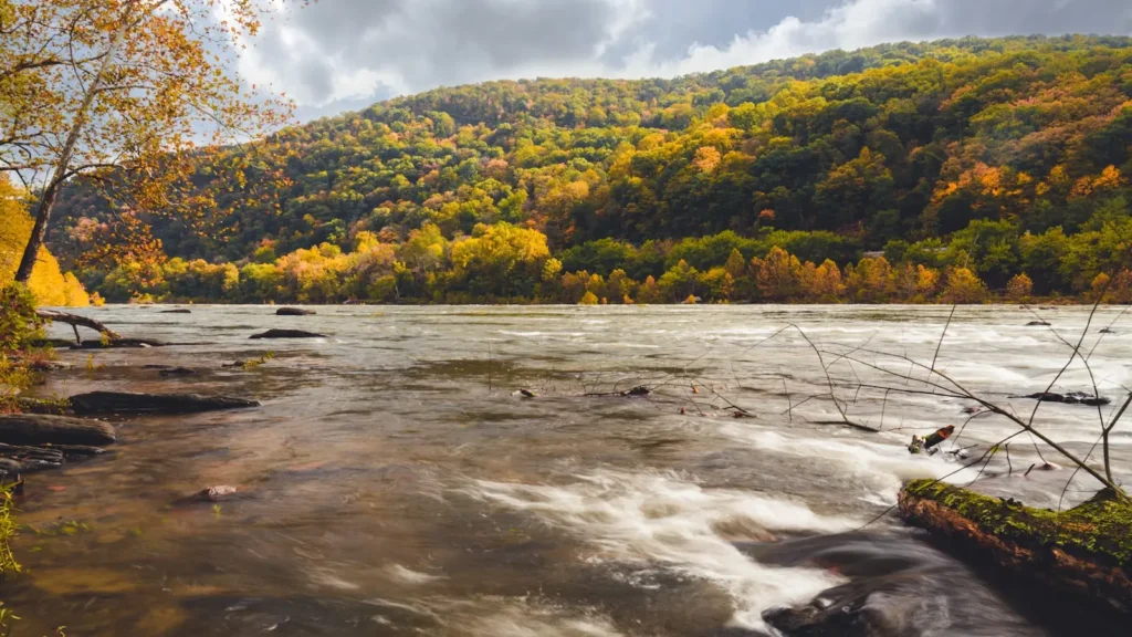
The photo at the top of this page is not Davidson River.
It is a regional stand-in, honestly captioned but generic — we will not put a name to a river we cannot prove. Send us a photograph you took here and it replaces the stand-in, with your credit on it.
Pioneer badgeUnclaimed
Add a photo of this water
Landscape, not fish — the water itself. Reviewed by hand before it appears. The first one published here earns the Pioneer badge.
Fished this water? Add a photo
Reviewed by hand before it appears. Pick the water, not the spot — we never publish exact locations.
Access
Davidson River Campground on US 276 - the main developed access with parking and a long stretch of walkable bank.
Pisgah Center for Wildlife Education and the fish hatchery - parking at the top of the catch-and-release water.
Avery Creek Road pull-offs - access to the middle river and the Avery Creek confluence.
Looking Glass Falls and Sliding Rock parking on US 276 - upper corridor access, busy in summer.
English Chapel pull-off - convenient mid-river parking on the special regulation section.
Highway 280 bridge below Brevard - lower river access on the hatchery-supported water.
Forest Service road pull-offs along US 276 - numerous small parking spots the length of the corridor.
Seasons
Spring: the best hatches of the year, rising water from mountain rain, and the most consistent dry fly fishing.
Summer: low and clear, early and late only, with fish concentrated near cold tributary mouths as the lower river warms.
Fall: cooling water, browns turning aggressive before the spawn, and far fewer people in the corridor after Labor Day.
Winter: cold, low and technical, midge fishing on the catch-and-release water for anglers who like solitude.
From the water
No logged trips yet. Be the first to put this water on your map.
Log this water
Fished it or cleaned it? Log in or create a free account to log a trip with photos and earn the waterway badge.
Questions
What is the current flow on the Davidson River?
As of Nov 2, 7:30 am, the USGS gauge DAVIDSON RIVER NEAR BREVARD, NC reads 42 cfs, with water temperature 52.3 F. Conditions update every 15 minutes.
What species can you catch on the Davidson River?
Anglers target Brook Trout, Brown Trout, Rainbow Trout on the Davidson River in North Carolina.
Are there fishing guides on the Davidson River?
GuidedFloats lists 3 guides and outfitters on the Davidson River. Claimed profiles accept booking requests; unclaimed profiles are built from public records and link to the business.
Where can you access the Davidson River?
Davidson River Campground on US 276 - the main developed access with parking and a long stretch of walkable bank. Pisgah Center for Wildlife Education and the fish hatchery - parking at the top of the catch-and-release water. Avery Creek Road pull-offs - access to the middle river and the Avery Creek confluence. Looking Glass Falls and Sliding Rock parking on US 276 - upper corridor access, busy in summer. English Chapel pull-off - convenient mid-river parking on the special regulation section. Highway 280 bridge below Brevard - lower river access on the hatchery-supported water. Forest Servic...
When is the best time to fish the Davidson River?
Spring: the best hatches of the year, rising water from mountain rain, and the most consistent dry fly fishing. Summer: low and clear, early and late only, with fish concentrated near cold tributary mouths as the lower river warms. Fall: cooling water, browns turning aggressive before the spawn, and far fewer people in the corridor after Labor Day. Winter: cold, low and technical, midge fishing on the catch-and-release water for anglers who like solitude.
Where are the fishing regulations for the Davidson River?
Regulations change by season and section. Read the current rules on the North Carolina agency site: https://www.ncwildlife.gov/fishing/regulations