Cattaraugus Creek Fishing Guides
The largest and longest-fishing steelhead tributary on New York's Lake Erie shore, with a long run of holding water from Zoar Valley down through Gowanda to the lake.
Guides on the Cattaraugus Creek
Claimed profiles take booking requests. Unclaimed profiles are built from public records so the river is never empty; the guide can claim or remove one any time.
No guides listed yet
Guide or outfit this water? Create your profile. Listing is free, the commission is 10% or 7% with a premium profile, and premium profiles list first on this water.
About the Cattaraugus Creek
Cattaraugus Creek is the anchor of the Lake Erie steelhead fishery in New York. It is by a wide margin the biggest of the state’s Erie tributaries, and because it is big it holds fishable water when the smaller creeks along the shore are either blown out or bone dry. Steelhead enter from the lake at Irving and run upstream through the Seneca Nation reservation lands, past Gowanda where this gauge sits, and on into the deep shale walls of the Zoar Valley gorge, giving the river far more holding water and a far longer season than its neighbors.
Steelhead are the reason almost everyone fishes it. The run builds with autumn rain from October, peaks through November and December, and the fish hold over through the winter into a strong spring push, so the practical season stretches across six months or more. Brown trout are stocked and mixed in, coho and chinook show in the fall, and in the warmer months the creek turns into a respectable smallmouth stream that almost nobody fishes. The gorge water is scenic, remote in feel and physically demanding to reach.
Two things govern a trip here. The first is water: the Cattaraugus is a shale-bottomed creek that clouds heavily after rain and takes longer to drop than the small tributaries, and there is a real window between too muddy and too low when the fishing is exceptional. Watching the gauge trend is essential. The second is access. Substantial reaches run through Seneca Nation of Indians territory, where a separate tribal license and separate rules apply, and other stretches are private. Anglers should confirm which reach they are fishing and carry the correct license for it before starting the day.
This water needs a real photo
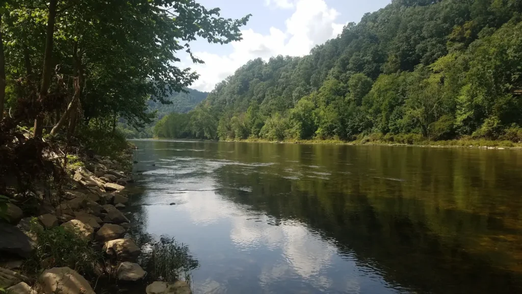
The photo at the top of this page is not Cattaraugus Creek.
It is a regional stand-in, honestly captioned but generic — we will not put a name to a river we cannot prove. Send us a photograph you took here and it replaces the stand-in, with your credit on it.
Add a photo of this water
Landscape, not fish — the water itself. Reviewed by hand before it appears. The first one published here earns the Pioneer badge.
Fished this water? Add a photo
Reviewed by hand before it appears. Pick the water, not the spot — we never publish exact locations.
Access
Gowanda town access near the gauge - the standard reference point and popular upstream access.
Zoar Valley Multiple Use Area - gorge access upstream of Gowanda with steep trails.
Scoby Dam Park near Springville - upper access at the top of the steelhead run.
Versailles access on the lower creek - reach requiring a Seneca Nation license.
Irving and the Route 5 crossing - lower creek access near the Lake Erie mouth.
Cattaraugus Creek Boat Launch at the harbor - lake access and the bottom of the run.
Point Peter Road and Forty Road pull-offs - informal middle creek access points.
Seasons
Spring: a strong late steelhead push through March and April as the creek drops and warms.
Summer: steelhead gone, the creek low and clear, and a quiet, uncrowded smallmouth fishery in its place.
Fall: the run builds from October with autumn rain, bringing steelhead plus coho and chinook.
Winter: peak numbers of holdover steelhead with cold, low, clear water and slow technical presentations.
From the water
No logged trips yet. Be the first to put this water on your map.
Log this water
Fished it or cleaned it? Log in or create a free account to log a trip with photos and earn the waterway badge.
Questions
What is the current flow on the Cattaraugus Creek?
As of Sep 17, 6:15 am, the USGS gauge CATTARAUGUS CREEK AT GOWANDA NY reads 256 cfs, with water temperature 66.9 F. Conditions update every 15 minutes.
What species can you catch on the Cattaraugus Creek?
Anglers target Brown Trout, Chinook Salmon, Coho Salmon, Rainbow Trout, Smallmouth Bass, Steelhead on the Cattaraugus Creek in New York.
Where can you access the Cattaraugus Creek?
Gowanda town access near the gauge - the standard reference point and popular upstream access. Zoar Valley Multiple Use Area - gorge access upstream of Gowanda with steep trails. Scoby Dam Park near Springville - upper access at the top of the steelhead run. Versailles access on the lower creek - reach requiring a Seneca Nation license. Irving and the Route 5 crossing - lower creek access near the Lake Erie mouth. Cattaraugus Creek Boat Launch at the harbor - lake access and the bottom of the run. Point Peter Road and Forty Road pull-offs - informal middle creek access points.
When is the best time to fish the Cattaraugus Creek?
Spring: a strong late steelhead push through March and April as the creek drops and warms. Summer: steelhead gone, the creek low and clear, and a quiet, uncrowded smallmouth fishery in its place. Fall: the run builds from October with autumn rain, bringing steelhead plus coho and chinook. Winter: peak numbers of holdover steelhead with cold, low, clear water and slow technical presentations.
Where are the fishing regulations for the Cattaraugus Creek?
Regulations change by season and section. Read the current rules on the New York agency site: https://dec.ny.gov/things-to-do/freshwater-fishing/regulations