Cache River Fishing Guides
A bald cypress swamp river in the far south of Illinois, holding trees a thousand years old and bass and bowfin under them.
Guides on the Cache River
Claimed profiles take booking requests. Unclaimed profiles are built from public records so the river is never empty; the guide can claim or remove one any time.
No guides listed yet
Guide or outfit this water? Create your profile. Listing is free, the commission is 10% or 7% with a premium profile, and premium profiles list first on this water.
About the Cache River
The Cache is unlike anything else in Illinois and arguably unlike anything else this far north. It runs through a genuine bald cypress and water tupelo swamp in the deep southern tip of the state, in country that has more in common with the Louisiana bottoms than with the prairie. Some of the cypress here are over a thousand years old, among the oldest living things east of the Rockies, and the wetland complex is important enough to be recognised internationally. The river itself is slow to the point of near-stillness in places, tea-coloured with tannin, and it winds through a maze of sloughs, backwater and standing timber.
Fishing it is a paddling proposition. A canoe or kayak is the right tool and often the only tool, because the channel narrows, the timber closes in, and there are stretches where the way through is not obvious. What you find is a classic southern swamp fish community. Largemouth bass hold tight against the cypress knees and in the shade of the buttressed trunks. Bowfin – a fish that has been doing this since before the cypress arrived – are common and will take a fly or a lure with real violence. Chain pickerel ambush from the grass, crappie and bluegill fill the open sloughs, and catfish work the deeper channel.
Much of the corridor is protected as state natural area and national wildlife refuge ground, so public access is genuinely good, but the flip side is that regulations vary by tract and some areas are closed seasonally for waterfowl. Read the posted rules for the specific unit. The gauge at Forman publishes discharge and stage but no water temperature. In this watershed the stage matters far more than the flow – high water spreads the river into the swamp and scatters the fish, while a stable low pool concentrates them.
This water needs a real photo
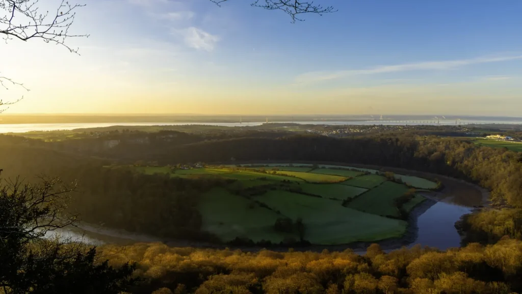
The photo at the top of this page is not Cache River.
It is a regional stand-in, honestly captioned but generic — we will not put a name to a river we cannot prove. Send us a photograph you took here and it replaces the stand-in, with your credit on it.
Add a photo of this water
Landscape, not fish — the water itself. Reviewed by hand before it appears. The first one published here earns the Pioneer badge.
Fished this water? Add a photo
Reviewed by hand before it appears. Pick the water, not the spot — we never publish exact locations.
Access
Cache River State Natural Area - the headline access, with several designated canoe launches.
Section 8 Woods Nature Preserve - walk-in access to old-growth cypress.
Cypress Creek National Wildlife Refuge tracts - public ground with seasonal restrictions.
Forman area gauge access - roadside entry near the gauge.
Heron Pond trailhead - foot access to the classic cypress slough.
Lower Cache River canoe trail - the signature paddling route through standing timber.
US 51 crossing near Ullin - bridge access to the lower river.
Seasons
Spring: high water spreads into the swamp; bass move shallow and the fishing is scattered but strong.
Summer: warm, low and buggy, with tight bass fishing in the cypress shade and good bowfin action.
Fall: the best paddling season - stable water, colour in the tupelo and concentrated fish.
Winter: cold and quiet; some tracts close for waterfowl, so check the unit rules before going.
From the water
No logged trips yet. Be the first to put this water on your map.
Log this water
Fished it or cleaned it? Log in or create a free account to log a trip with photos and earn the waterway badge.
Questions
What is the current flow on the Cache River?
As of Sep 17, 6:00 am, the USGS gauge CACHE RIVER AT FORMAN, IL reads 4 cfs. Conditions update every 15 minutes.
What species can you catch on the Cache River?
Anglers target Black Crappie, Bluegill, Bowfin, Chain Pickerel, Channel Catfish, Common Carp, Flathead Catfish, Freshwater Drum, Largemouth Bass, Longear Sunfish, Longnose Gar, White Crappie, Yellow Perch on the Cache River in Illinois.
Where can you access the Cache River?
Cache River State Natural Area - the headline access, with several designated canoe launches. Section 8 Woods Nature Preserve - walk-in access to old-growth cypress. Cypress Creek National Wildlife Refuge tracts - public ground with seasonal restrictions. Forman area gauge access - roadside entry near the gauge. Heron Pond trailhead - foot access to the classic cypress slough. Lower Cache River canoe trail - the signature paddling route through standing timber. US 51 crossing near Ullin - bridge access to the lower river.
When is the best time to fish the Cache River?
Spring: high water spreads into the swamp; bass move shallow and the fishing is scattered but strong. Summer: warm, low and buggy, with tight bass fishing in the cypress shade and good bowfin action. Fall: the best paddling season - stable water, colour in the tupelo and concentrated fish. Winter: cold and quiet; some tracts close for waterfowl, so check the unit rules before going.
Where are the fishing regulations for the Cache River?
Regulations change by season and section. Read the current rules on the Illinois agency site: https://www.ifishillinois.org/site-documents/FishingDigest.pdf