Fishes Aroostook River
River · North-central Aroostook County, the upper Aroostook valley above Ashland and Masardis · Maine
Aroostook River Fishing Guides
Maine's largest northern river outside the St. John, with wild brook trout in the upper valley and smallmouth and muskellunge below.
Map of the Aroostook River
23 numbered points: 8 access points, 1 bait & fly shop, 1 outfitter, 7 bridges, 3 parks and conservation areas, 1 agency office, 1 hazard, 1 USGS gauge. Tap a marker for details. Reviewed Sep 25, 2026.
- Access / boat ramp (8)
- Bait, tackle & fly shop (1)
- Outfitter / canoe rental (1)
- Bridge crossing (7)
- Park / conservation area (3)
- Agency / conservation office (1)
- Dam / hazard (1)
- USGS gauge (1)
Map data © OpenStreetMap contributors. Points are curated from OpenStreetMap and state agency sources; confirm access and hours before you go.
Print it. Bag it. Bring it.Phones die, screens crack, and most of this water has no signal. Print this map, fold it into a zip-top bag or dry bag with your license, and you have a backup your electronics can’t give you. Every marker is numbered so you can say exactly where you are.
Open the printable mapAll 23 points on this map
| # | Point | Type | Lat, Lon | Notes |
|---|---|---|---|---|
| 1 | Aroostook River hand-carry access Upper river between Oxbow and Masardis | Access / boat ramp | 46.42822, -68.55272 | Unnamed slipway in OSM. |
| 2 | Shephard Rips Rips on the upper river | Dam / hazard | 46.47726, -68.45115 | |
| 3 | Masardis Ranger Station Ranger station, Masardis | Agency / conservation office | 46.49318, -68.37336 | |
| 4 | Masardis boat launch Slipway at Masardis | Access / boat ramp | 46.50406, -68.36268 | Unnamed slipway in OSM. |
| 5 | USGS gauge 01015800 - Aroostook River near Masardis Live stage and discharge | USGS gauge | 46.52306, -68.37167 | |
| 6 | Garfield Road Crossing beside the gauge | Bridge crossing | 46.52319, -68.37211 | |
| 7 | Pollard Flat Wildlife Management Area Maine Dept. of Inland Fisheries & Wildlife | Park / conservation area | 46.53415, -68.37891 | |
| 8 | Gateway Trading Post Outdoor store, Ashland | Bait, tackle & fly shop | 46.63146, -68.43030 | |
| 9 | Station Street Route 11 crossing, Ashland | Bridge crossing | 46.63202, -68.41877 | |
| 10 | Ashland boat launch Slipway at Ashland | Access / boat ramp | 46.63418, -68.41750 | Unnamed slipway in OSM. |
| 11 | Ashland Community Memorial Park Town park | Park / conservation area | 46.63059, -68.40180 | |
| 12 | Portage Road Route 11 crossing above Ashland | Bridge crossing | 46.65194, -68.42221 | |
| 13 | Thomas Brewer Memorial Park boat launch Washburn | Access / boat ramp | 46.77604, -68.15528 | Launch inside Thomas Brewer Memorial Park. |
| 14 | South Wade Road Crossing at Washburn | Bridge crossing | 46.77582, -68.15407 | |
| 15 | Aroostook River Access - Presque Isle City river access and launch | Access / boat ramp | 46.70383, -68.00600 | |
| 16 | Main Street US 1 crossing, Presque Isle | Bridge crossing | 46.70332, -68.00847 | |
| 17 | Perception of Aroostook Paddlesport shop, Presque Isle | Outfitter / canoe rental | 46.70540, -68.00731 | |
| 18 | Fort Street Route 161 crossing, Caribou | Bridge crossing | 46.85383, -68.00285 | |
| 19 | Caribou boat launch Slipway at Caribou | Access / boat ramp | 46.85551, -68.00309 | Unnamed slipway in OSM. |
| 20 | Veteran's Memorial Park Caribou riverfront park | Park / conservation area | 46.85807, -68.01003 | |
| 21 | Forbes Pit Boat Launch Between Caribou and Fort Fairfield | Access / boat ramp | 46.82443, -67.92126 | |
| 22 | Bridge Street US 1A crossing, Fort Fairfield | Bridge crossing | 46.77364, -67.83349 | |
| 23 | Aroostook River Access - Fort Fairfield Town river access and launch | Access / boat ramp | 46.77326, -67.82802 | Lowest US access above the New Brunswick line. |
Guides on the Aroostook River
Claimed profiles take booking requests. Unclaimed profiles are built from public records so the river is never empty; the guide can claim or remove one any time.
Order on this page: premium and outfitter plans first (labelled Premium placement), then claimed free profiles, then unclaimed — one published price, no bidding for position. How placement works
About the Aroostook River
The Aroostook River rises in the commercial forest west of Ashland and runs east across the whole width of Aroostook County before crossing into New Brunswick at Fort Fairfield. The gauge near Masardis sits high in that run, above the farm country, where the river is still gathering water from the Machias, the St. Croix Stream and the other forest tributaries that give the upper valley its character. It is a big river by northern Maine standards and a remote one along most of its length.
Two fisheries share the drainage and they do not overlap much. The upper river and its tributaries hold wild brook trout, and those reaches are the reason anglers make the drive. Downstream of Ashland the river warms and broadens, and smallmouth bass become the practical target through the summer months, with muskellunge now established through the lower drainage and the New Brunswick reaches below it. Landlocked salmon show up seasonally where the cold tributaries enter.
The river is paddled as much as it is waded. A canoe covers the water between the few road crossings far more efficiently than walking does, and the stretch from Masardis down toward Ashland is the one most often floated. Access points are spread out, so a day here is usually planned as a float between two known landings rather than as a series of short walk-ins from the road.
Timing follows the snow. The upper Aroostook runs hard and cold into May, and the wild trout fishing is at its best once that water drops but before midsummer heat pushes fish into the tributary mouths. September brings the water back down to a good level and the trout back into the main river. The gauge at Masardis is the honest read on whether the float is worth the drive.
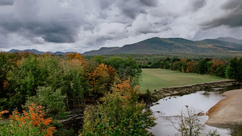
This water needs a real photo
The photo at the top of this page is not Aroostook River.
It is a regional stand-in, honestly captioned but generic — we will not put a name to a river we cannot prove. Send us a photograph you took here and it replaces the stand-in, with your credit on it.
Pioneer badgeUnclaimed
Add a photo of this water
Landscape, not fish — the water itself. Reviewed by hand before it appears. The first one published here earns the Pioneer badge.
Fished this water? Add a photo
Reviewed by hand before it appears. Pick the water, not the spot — we never publish exact locations.
Access
Masardis - the gauge reach, with a bridge crossing and roadside access.
Ashland - the main town on the river, with a launch and supplies.
Sheridan - bank access on the reach between Ashland and Washburn.
St. Croix Stream confluence - a cold tributary mouth worth fishing in summer.
Machias River confluence - the largest upper tributary, reached above Masardis.
Oxbow - upstream access to the remote reach above the gauge.
Washburn - the downstream end of the smallmouth water, with a public landing.
Seasons
Spring: high, cold and pushy into May, with the best trout fishing coming as it drops.
Summer: smallmouth through the lower river, with trout holding at cold tributary mouths.
Fall: falling water and cooler temperatures bring wild brook trout back into the main river.
Winter: closed to open-water fishing through the cold months in most of the drainage.
From the water
No logged trips yet. Be the first to put this water on your map.
Log this water
Fished it or cleaned it? Log in or create a free account to log a trip with photos and earn the waterway badge.
Questions
What is the current flow on the Aroostook River?
As of Nov 2, 7:15 am, the USGS gauge Aroostook River near Masardis, Maine reads 85 cfs. Conditions update every 15 minutes.
What species can you catch on the Aroostook River?
Anglers target Brook Trout, Burbot, Chain Pickerel, Landlocked Atlantic Salmon, Muskellunge, Smallmouth Bass on the Aroostook River in Maine.
Are there fishing guides on the Aroostook River?
GuidedFloats lists 1 guide and outfitters on the Aroostook River. Claimed profiles accept booking requests; unclaimed profiles are built from public records and link to the business.
Where can you access the Aroostook River?
Masardis - the gauge reach, with a bridge crossing and roadside access. Ashland - the main town on the river, with a launch and supplies. Sheridan - bank access on the reach between Ashland and Washburn. St. Croix Stream confluence - a cold tributary mouth worth fishing in summer. Machias River confluence - the largest upper tributary, reached above Masardis. Oxbow - upstream access to the remote reach above the gauge. Washburn - the downstream end of the smallmouth water, with a public landing.
When is the best time to fish the Aroostook River?
Spring: high, cold and pushy into May, with the best trout fishing coming as it drops. Summer: smallmouth through the lower river, with trout holding at cold tributary mouths. Fall: falling water and cooler temperatures bring wild brook trout back into the main river. Winter: closed to open-water fishing through the cold months in most of the drainage.
Where are the fishing regulations for the Aroostook River?
Regulations change by season and section. Read the current rules on the Maine agency site: https://www.maine.gov/ifw/fishing-boating/fishing/laws-rules.html