Fishes Green Lake
Lake · Green Lake County, Wisconsin, the east central part of the state between Madison and Oshkosh · Wisconsin
Green Lake Fishing Guides
Wisconsin's deepest inland lake at well over two hundred feet, cold enough to hold lake trout in the middle of farm country and fished year round for a wide mix of species.
Map of the Green Lake
25 numbered points: 8 access points, 3 campsites, 2 bridges, 10 parks and conservation areas, 1 hazard, 1 USGS gauge. Tap a marker for details. Reviewed Sep 25, 2026.
- Access / boat ramp (8)
- Campsite (3)
- Bridge crossing (2)
- Park / conservation area (10)
- Dam / hazard (1)
- USGS gauge (1)
Map data © OpenStreetMap contributors. Points are curated from OpenStreetMap and state agency sources; confirm access and hours before you go.
Print it. Bag it. Bring it.Phones die, screens crack, and most of this water has no signal. Print this map, fold it into a zip-top bag or dry bag with your license, and you have a backup your electronics can’t give you. Every marker is numbered so you can say exactly where you are.
Open the printable mapAll 25 points on this map
| # | Point | Type | Lat, Lon | Notes |
|---|---|---|---|---|
| 1 | Camp Grow Green Lake Conference Center | Campsite | 43.78861, -89.00977 | |
| 2 | Wick Nature Preserve Green Lake Conservancy | Park / conservation area | 43.78567, -89.02385 | |
| 3 | Dodge Memorial County Park Green Lake County | Park / conservation area | 43.77855, -89.04917 | |
| 4 | Dodge Memorial Park Access Green Lake County · concrete panel ramp | Access / boat ramp | 43.77835, -89.05055 | Ramp at the south-west end of the lake, in Dodge Memorial County Park. |
| 5 | USGS gauge 434840089000001 Green Lake at Green Lake, WI | USGS gauge | 43.81111, -89.00000 | Lake-level gauge. Follow the link for the current reading. |
| 6 | Beyers Cove Boat Launch West end of the lake | Access / boat ramp | 43.80557, -89.06775 | |
| 7 | Norwegian Bay Wetlands & Boardwalk Green Lake Conservancy · boardwalk | Park / conservation area | 43.81291, -89.03922 | |
| 8 | Winnebago Trail Nature Preserve Green Lake Conservancy · woodland | Park / conservation area | 43.81509, -89.02319 | |
| 9 | Assembly Creek and Springs Conservancy Green Lake Conservancy | Park / conservation area | 43.81654, -89.03527 | |
| 10 | Anderson Cabins & Camping Green Lake Conference Center | Campsite | 43.81885, -89.02940 | The conference centre’s camping area. Its five internal lodging circles are not listed separately. |
| 11 | Forest Avenue Oak Savannah Green Lake Conservancy | Park / conservation area | 43.83678, -88.97315 | |
| 12 | Hattie Sherwood Park Boat Launch City of Green Lake · gravel ramp | Access / boat ramp | 43.84337, -88.96697 | Ramp in Hattie Sherwood Park, which also has the city campground beside it. |
| 13 | Canal Street Launch City of Green Lake · concrete plank ramp | Access / boat ramp | 43.84799, -88.96267 | Launch on the outlet canal at the north-east end of the lake. |
| 14 | Upper Green Lake Dam Outlet dam · NID WI00633 | Dam / hazard | 43.84682, -88.96070 | The lake outlet at the head of the Puchyan River, at the north-east corner of the lake in the city of Green Lake. |
| 15 | Mill Street Outlet crossing, city of Green Lake | Bridge crossing | 43.84665, -88.96013 | Road crossing immediately below the outlet dam. Two OSM ways carry this name a few metres apart; one is shipped. |
| 16 | Friday Club Park City of Green Lake | Park / conservation area | 43.84684, -88.95793 | |
| 17 | Deacon Mills Park Boat Ramp City of Green Lake · downtown lakefront | Access / boat ramp | 43.84332, -88.96121 | Ramp in Deacon Mills Park on the downtown waterfront. |
| 18 | Highknocker Park City of Green Lake | Park / conservation area | 43.83963, -88.95602 | |
| 19 | Daycholah Lookout Overlook on the north shore | Park / conservation area | 43.83662, -88.95869 | Named for Daycholah, the Ho-Chunk name for the lake. |
| 20 | Duering’s Landing City of Green Lake · gravel ramp | Access / boat ramp | 43.83612, -88.93631 | North-shore landing. The WDNR layer spells it Duerings; OSM carries the apostrophe. |
| 21 | Sunset County Park Boat Ramp Green Lake County · concrete panel ramp | Access / boat ramp | 43.82625, -88.92737 | Ramp in Sunset County Park at the east end of the lake. |
| 22 | County Road A East end of the lake | Bridge crossing | 43.82442, -88.92659 | |
| 23 | Horners Landing Green Lake County · concrete ramp | Access / boat ramp | 43.81733, -88.95632 | South-shore landing. |
| 24 | Pilgrim Center Church camp, south shore | Campsite | 43.81632, -88.93124 | |
| 25 | Tuleta Hill Prairie Conservancy Green Lake Conservancy · prairie | Park / conservation area | 43.80702, -88.98456 |
Guides on the Green Lake
Claimed profiles take booking requests. Unclaimed profiles are built from public records so the river is never empty; the guide can claim or remove one any time.
Order on this page: premium and outfitter plans first (labelled Premium placement), then claimed free profiles, then unclaimed — one published price, no bidding for position. How placement works
About the Green Lake
Green Lake is the deepest natural inland lake in Wisconsin, dropping to more than two hundred and thirty feet in a state where most lakes are a fraction of that. It covers around seventy three hundred acres in the farmland of the east central part of the state, and its depth is the reason it fishes nothing like its neighbours. The lake stratifies strongly in summer and holds a cold, oxygenated layer through the warm months.
That cold water supports a coldwater fishery that has no business existing this far south in Wisconsin. Lake trout are stocked and hold in the deep basin, and brown trout are present as well. Anglers troll for them in summer using downriggers and lead core, working the thermocline in water that would be far too warm at the surface. It is genuinely unusual to fish lake trout with corn and soybean fields visible on the shore.
The warmwater fishery is equally good and far more accessible. Walleye use the rock bars and the drop-offs, smallmouth bass hold on the extensive gravel and rubble shoreline structure, largemouth work the weedy bays, and northern pike hunt the shallower flats. The lake has clear water and abundant structure, so the fishing is more about locating the right depth and edge than about covering huge distances.
The lake has been a resort destination since the nineteenth century, when steamboats and grand hotels brought visitors up from Chicago and Milwaukee. Much of the shoreline is developed and privately held as a result, and the lake sees substantial recreational boat traffic in summer. Public access is adequate but concentrated at a handful of launches and parks rather than spread around the shore.
Seasons split cleanly. Spring brings walleye and smallmouth into the shallows and offers the best shore-adjacent fishing of the year. Summer sends the trout deep and pushes serious anglers offshore with electronics. Fall is the strongest all-round window as the lake turns over and fish spread out. Winter ice fishing is popular, though the depth means ice forms later and less predictably than on shallower lakes.
This water needs a real photo
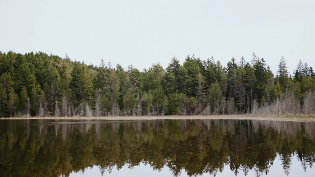
The photo at the top of this page is not Green Lake.
It is a regional stand-in, honestly captioned but generic — we will not put a name to a river we cannot prove. Send us a photograph you took here and it replaces the stand-in, with your credit on it.
Pioneer badgeUnclaimed
Add a photo of this water
Landscape, not fish — the water itself. Reviewed by hand before it appears. The first one published here earns the Pioneer badge.
Fished this water? Add a photo
Reviewed by hand before it appears. Pick the water, not the spot — we never publish exact locations.
Access
Green Lake - the city on the north shore, with launches, tackle and services.
Public boat landings around the lake - the main access points, concentrated rather than continuous.
Green Lake County Park - the county park with shoreline and launch access.
Ripon - the nearby town to the northwest.
Fond du Lac - the larger city to the northeast at the foot of Lake Winnebago.
Madison - the nearest metropolitan area, southwest, and the source of much of the traffic.
Fox River - the river system draining the surrounding country.
Seasons
Spring: walleye and smallmouth move shallow and the lake offers its most accessible fishing.
Summer: strong stratification sends lake trout deep, with trolling the offshore basin the main approach.
Fall: turnover spreads fish out and produces the most consistent all-round fishing of the year.
Winter: ice forms later than on shallow lakes, with a solid panfish and pike fishery once it does.
From the water
No logged trips yet. Be the first to put this water on your map.
Log this water
Fished it or cleaned it? Log in or create a free account to log a trip with photos and earn the waterway badge.
Questions
What species can you catch on the Green Lake?
Anglers target Brown Trout, Lake Trout, Largemouth Bass, Northern Pike, Smallmouth Bass, Walleye on the Green Lake in Wisconsin.
Are there fishing guides on the Green Lake?
GuidedFloats lists 3 guides and outfitters on the Green Lake. Claimed profiles accept booking requests; unclaimed profiles are built from public records and link to the business.
Where can you access the Green Lake?
Green Lake - the city on the north shore, with launches, tackle and services. Public boat landings around the lake - the main access points, concentrated rather than continuous. Green Lake County Park - the county park with shoreline and launch access. Ripon - the nearby town to the northwest. Fond du Lac - the larger city to the northeast at the foot of Lake Winnebago. Madison - the nearest metropolitan area, southwest, and the source of much of the traffic. Fox River - the river system draining the surrounding country.
When is the best time to fish the Green Lake?
Spring: walleye and smallmouth move shallow and the lake offers its most accessible fishing. Summer: strong stratification sends lake trout deep, with trolling the offshore basin the main approach. Fall: turnover spreads fish out and produces the most consistent all-round fishing of the year. Winter: ice forms later than on shallow lakes, with a solid panfish and pike fishery once it does.
Where are the fishing regulations for the Green Lake?
Regulations change by season and section. Read the current rules on the Wisconsin agency site: https://dnr.wisconsin.gov/topic/fishing/regulations