Fishes Skagit River
River · North Cascades · Washington
Skagit River Fishing Guides
The biggest river in Puget Sound, running out of the North Cascades past Marblemount, Rockport and Concrete, with salmon runs, bull trout and the most storied winter steelhead water in Washington.
Map of the Skagit River
16 numbered points: 6 access points, 3 campsites, 4 parks and conservation areas, 1 agency office, 1 hazard, 1 USGS gauge. Tap a marker for details. Reviewed Sep 15, 2026.
- Access / boat ramp (6)
- Campsite (3)
- Park / conservation area (4)
- Agency / conservation office (1)
- Dam / hazard (1)
- USGS gauge (1)
Map data © OpenStreetMap contributors. Points are curated from OpenStreetMap and state agency sources; confirm access and hours before you go.
Print it. Bag it. Bring it.Phones die, screens crack, and most of this water has no signal. Print this map, fold it into a zip-top bag or dry bag with your license, and you have a backup your electronics can’t give you. Every marker is numbered so you can say exactly where you are.
Open the printable mapAll 16 points on this map
| # | Point | Type | Lat, Lon | Notes |
|---|---|---|---|---|
| 1 | Gorge Dam Seattle City Light | Dam / hazard | 48.69780, -121.20877 | Upstream limit of the free-flowing river; everything above is the Gorge, Diablo and Ross reservoirs. |
| 2 | Lower Goodell Creek Campground North Cascades National Park | Campsite | 48.67794, -121.27249 | Campground at Newhalem, at the top of the Wild and Scenic reach. |
| 3 | Boat launch at Goodell Creek Newhalem - unnamed in OpenStreetMap | Access / boat ramp | 48.67193, -121.26957 | The put-in below Newhalem; OSM maps the ramp but does not name it. |
| 4 | Cascade Wagon Road Campground Marblemount | Campsite | 48.52664, -121.41754 | |
| 5 | Marblemount Fish Hatchery WDFW | Agency / conservation office | 48.52277, -121.41829 | Hatchery on the Cascade River side of Marblemount. |
| 6 | Marblemount Boat Launch Marblemount | Access / boat ramp | 48.52658, -121.42864 | Top of the classic drift, at the Cascade River confluence. |
| 7 | Pressentin County Park Skagit County | Park / conservation area | 48.52448, -121.43447 | County park on the bank just below the Marblemount launch. |
| 8 | Riverside Park | Park / conservation area | 48.49445, -121.54175 | Small riverside park on the reach above Rockport. |
| 9 | Howard Miller Steelhead Park Skagit County - launch and campground | Access / boat ramp | 48.48489, -121.60901 | Rockport's park at the Sauk confluence; the ramp, the park polygon and the campground node merged to one point. |
| 10 | Fisherman Access Concrete | Access / boat ramp | 48.53493, -121.73424 | Bank access above the Baker River mouth. |
| 11 | Baker River Boat Launch Concrete | Access / boat ramp | 48.53385, -121.73850 | Launch at the Baker River confluence, the middle-river hub. |
| 12 | USGS gauge 12194000 - Skagit River near Concrete Live stage and discharge | USGS gauge | 48.52428, -121.77097 | The gauge this water page reads from. |
| 13 | Rasar State Park Campground Washington State Parks | Campsite | 48.51679, -121.90478 | State park campground with river frontage below Birdsview. |
| 14 | Hamilton Boat Launch Hamilton | Access / boat ramp | 48.51651, -121.98109 | Town launch; two OSM polygons 50 m apart merged to one point. |
| 15 | Lyman City Park Lyman | Park / conservation area | 48.52669, -122.06809 | |
| 16 | Ann Wolford River Edge Park Lyman | Park / conservation area | 48.52045, -122.09196 | Lowest mapped river park on this reach; below here the Skagit runs to Sedro-Woolley and the delta. |
Guides on the Skagit River
Claimed profiles take booking requests. Unclaimed profiles are built from public records so the river is never empty; the guide can claim or remove one any time.
About the Skagit River
The Skagit drains a huge piece of the North Cascades and enters Puget Sound near Mount Vernon. It is a big, cold, glacier-fed river with a run of every Pacific salmon species, a native char population, sea-run cutthroat, and a steelhead history that made the upper river between Rockport and Marblemount famous well beyond the Northwest.
What the river offers depends entirely on the calendar and on current regulations, which change here more often than on most rivers. Pink salmon flood the system in odd-numbered years and are the easiest introduction to Northwest salmon fishing there is. Chinook and coho follow their own schedules. Bull trout fishing on the upper river, with big streamers on a sink tip, is a genuinely good and underrated fishery. Steelhead seasons on the Skagit have been closed, reopened as limited catch-and-release fisheries, and adjusted repeatedly under co-management with the treaty tribes, so anyone planning a trip needs to check the current rules rather than the reputation.
The Concrete gauge reads a large drainage that includes the Baker River and the upper dams. Winter storm events move it fast, and the river can go from clear to chocolate in a day and take several days to drop back. Glacial melt colors the upper river in warm summer weather. Guides look for a dropping river with three or four feet of visibility.
Sedro-Woolley, Concrete, Rockport and Marblemount line the highway. Boat access is good, the water is big enough to demand a competent oarsman, and winter days here are short, wet and cold.
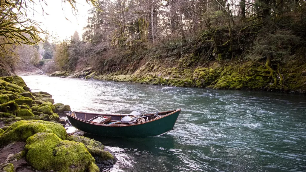
This water needs a real photo
The photo at the top of this page is not Skagit River.
It is a regional stand-in, honestly captioned but generic — we will not put a name to a river we cannot prove. Send us a photograph you took here and it replaces the stand-in, with your credit on it.
Pioneer badgeUnclaimed
Add a photo of this water
Landscape, not fish — the water itself. Reviewed by hand before it appears. The first one published here earns the Pioneer badge.
Fished this water? Add a photo
Reviewed by hand before it appears. Pick the water, not the spot — we never publish exact locations.
Access
Marblemount: upper river ramp near the Cascade River confluence.
Rockport and Howard Miller Steelhead Park: campground and ramp in the heart of the upper river.
Sutter Creek and Sauk River confluence: access to the Sauk and the middle Skagit.
Concrete and the Baker River confluence: access near the gauge.
Birdsview and Faber Ferry: middle river ramps.
Sedro-Woolley, Burlington and Mount Vernon: lower river access toward the sound.
Seasons
Check current Washington rules before planning; Skagit seasons change year to year.
Winter and early spring: catch-and-release steelhead when a season is open, bull trout on the upper river.
Summer: glacial melt colors the river; sea-run cutthroat and resident fish in the tributaries.
Late summer and fall: pink salmon in odd years, then chinook, coho and chum through the fall.
From the water
No logged trips yet. Be the first to put this water on your map.
Log this water
Fished it or cleaned it? Log in or create a free account to log a trip with photos and earn the waterway badge.
Questions
What is the current flow on the Skagit River?
As of Oct 19, 3:45 am, the USGS gauge SKAGIT RIVER NEAR CONCRETE, WA reads 6,260 cfs, the 27th percentile for this date. Conditions update every 15 minutes.
What species can you catch on the Skagit River?
Anglers target Bull Trout, Chinook Salmon, Chum Salmon, Coastal Cutthroat Trout, Coho Salmon, Pink Salmon, Steelhead on the Skagit River in Washington.
Are there fishing guides on the Skagit River?
GuidedFloats lists 1 guide and outfitters on the Skagit River. Claimed profiles accept booking requests; unclaimed profiles are built from public records and link to the business.
Where can you access the Skagit River?
Marblemount: upper river ramp near the Cascade River confluence. Rockport and Howard Miller Steelhead Park: campground and ramp in the heart of the upper river. Sutter Creek and Sauk River confluence: access to the Sauk and the middle Skagit. Concrete and the Baker River confluence: access near the gauge. Birdsview and Faber Ferry: middle river ramps. Sedro-Woolley, Burlington and Mount Vernon: lower river access toward the sound.
When is the best time to fish the Skagit River?
Check current Washington rules before planning; Skagit seasons change year to year. Winter and early spring: catch-and-release steelhead when a season is open, bull trout on the upper river. Summer: glacial melt colors the river; sea-run cutthroat and resident fish in the tributaries. Late summer and fall: pink salmon in odd years, then chinook, coho and chum through the fall.
Where are the fishing regulations for the Skagit River?
Regulations change by season and section. Read the current rules on the Washington agency site: https://wdfw.wa.gov/fishing/regulations