Fishes Wisconsin River
River · Driftless Area · Wisconsin
Wisconsin River Fishing Guides
The Lower Wisconsin State Riverway, ninety-two undammed miles of sandbars and islands from Prairie du Sac to the Mississippi, floated for smallmouth, walleye and catfish.
Gauge location. Map data © OpenStreetMap contributors.
Guides on the Wisconsin River
Claimed profiles take booking requests. Unclaimed profiles are built from public records so the river is never empty; the guide can claim or remove one any time.
About the Wisconsin River
Below the last dam at Prairie du Sac the Wisconsin River runs ninety-two miles to the Mississippi without another impoundment, through a corridor of sandbars, wooded islands and bluffs protected as the Lower Wisconsin State Riverway. It is the longest free-flowing stretch of river in the Midwest and it is a genuinely different kind of fishing trip: shallow, sandy, braided water where you read sandbar edges and wing dams instead of rocks.
Smallmouth bass are the main quarry and the river holds them in numbers, along with walleye that stack below the Prairie du Sac dam in spring, a good musky population, channel and flathead catfish that reach serious size, and a native lake sturgeon run. Most guided days are run in jet boats or shallow-draft boats because the sandbars move constantly and a prop is a liability. Canoe and kayak trips with sandbar camping are the other tradition here, and it is one of the best multi-day paddle trips in the Midwest.
The Muscoda gauge reads a very large basin. Summer flows in the low thousands of cfs give normal sandbar conditions; spring flows several times higher cover the bars, move the channels and change the river’s shape for the season. Because the bed is sand, the navigable channel genuinely relocates from year to year, which is why local knowledge matters more here than on a rock-bottom river.
Sauk City, Spring Green, Muscoda, Boscobel and Prairie du Chien line the corridor. Spring Green is the best-known base, and the whole valley is easy driving from Madison.
This water needs a real photo
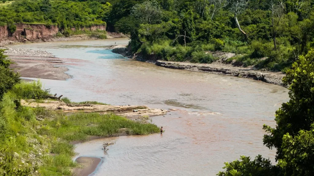
The photo at the top of this page is not Wisconsin River.
It is a regional stand-in, honestly captioned but generic — we will not put a name to a river we cannot prove. Send us a photograph you took here and it replaces the stand-in, with your credit on it.
Pioneer badgeUnclaimed
Add a photo of this water
Landscape, not fish — the water itself. Reviewed by hand before it appears. The first one published here earns the Pioneer badge.
Fished this water? Add a photo
Reviewed by hand before it appears. Pick the water, not the spot — we never publish exact locations.
Access
Prairie du Sac and Sauk City: the top of the free-flowing river below the dam, prime spring walleye water.
Arena and Mazomanie: upper riverway landings.
Spring Green and Peck's Landing: mid-river access and the busiest recreation stretch.
Lone Rock and Muscoda: landings near the gauge.
Boscobel and Woodman: lower river ramps.
Bridgeport and Wyalusing State Park: the Mississippi confluence at the bottom of the riverway.
Seasons
March through May: walleye below the Prairie du Sac dam, high water and moving sand.
June through August: prime smallmouth and catfish, sandbar camping, low clear water by August.
September and October: the best smallmouth month, cooling water, few boats.
November through February: musky and walleye until ice; the river freezes in most winters.
From the water
No logged trips yet. Be the first to put this water on your map.
Log this water
Fished it or cleaned it? Log in or create a free account to log a trip with photos and earn the waterway badge.
Questions
What is the current flow on the Wisconsin River?
As of Oct 19, 4:00 am, the USGS gauge WISCONSIN RIVER AT MUSCODA, WI reads 5,290 cfs, the 44th percentile for this date. Conditions update every 15 minutes.
What species can you catch on the Wisconsin River?
Anglers target Channel Catfish, Flathead Catfish, Lake Sturgeon, Muskellunge, Smallmouth Bass, Walleye on the Wisconsin River in Wisconsin.
Are there fishing guides on the Wisconsin River?
GuidedFloats lists 1 guide and outfitters on the Wisconsin River. Claimed profiles accept booking requests; unclaimed profiles are built from public records and link to the business.
Where can you access the Wisconsin River?
Prairie du Sac and Sauk City: the top of the free-flowing river below the dam, prime spring walleye water. Arena and Mazomanie: upper riverway landings. Spring Green and Peck's Landing: mid-river access and the busiest recreation stretch. Lone Rock and Muscoda: landings near the gauge. Boscobel and Woodman: lower river ramps. Bridgeport and Wyalusing State Park: the Mississippi confluence at the bottom of the riverway.
When is the best time to fish the Wisconsin River?
March through May: walleye below the Prairie du Sac dam, high water and moving sand. June through August: prime smallmouth and catfish, sandbar camping, low clear water by August. September and October: the best smallmouth month, cooling water, few boats. November through February: musky and walleye until ice; the river freezes in most winters.
Where are the fishing regulations for the Wisconsin River?
Regulations change by season and section. Read the current rules on the Wisconsin agency site: https://dnr.wisconsin.gov/topic/fishing/regulations