Lewis Creek Fishing Guides
A Champlain Valley creek draining seventy-seven square miles from the Green Mountain foothills, with wild trout in the upper water and runs of lake fish pushing up from Lake Champlain below.
Guides on the Lewis Creek
Claimed profiles take booking requests. Unclaimed profiles are built from public records so the river is never empty; the guide can claim or remove one any time.
No guides listed yet
Guide or outfit this water? Create your profile. Listing is free, the commission is 10% or 7% with a premium profile, and premium profiles list first on this water.
About the Lewis Creek
Lewis Creek drains about seventy-seven square miles of Addison and Chittenden counties, rising in the Green Mountain foothills and falling west across the Champlain Valley to Lake Champlain. The gauge at North Ferrisburgh reads discharge and stage continuously. That drop from mountain to lake in a relatively short distance is what gives the creek two quite different personalities, and an angler who understands the division will choose a reach to match the season rather than driving to the same bridge every time.
The upper creek is cold, tumbling and forested, running over ledge and cobble through a series of falls and pools, and it holds wild brook trout and brown trout. As the creek leaves the foothills and crosses the clay soils of the Champlain Valley the gradient eases sharply, the water warms through the summer, and the character becomes that of a slow meandering lowland stream with deep bends, overhanging banks and silt. Smallmouth bass, northern pike, yellow perch and rock bass use that lower water, and it fishes far better in summer than the trout reaches do.
The feature that makes Lewis Creek genuinely interesting is what comes up from the lake. Lake Champlain supports runs of steelhead and landlocked Atlantic salmon, and tributaries like this one receive them, principally in spring and autumn. The falls on the creek limit how far those fish can ascend, which concentrates them in the lower reaches and makes timing a matter of real consequence. The discharge reading is the tool for judging it, because a run needs water to move.
Access is a mix of road crossings, town land and private farmland, and Vermont’s landowner relations are generally good but permission still matters. The creek is small enough to be fished comfortably on foot, and wading is the natural approach through the upper water.
This water needs a real photo
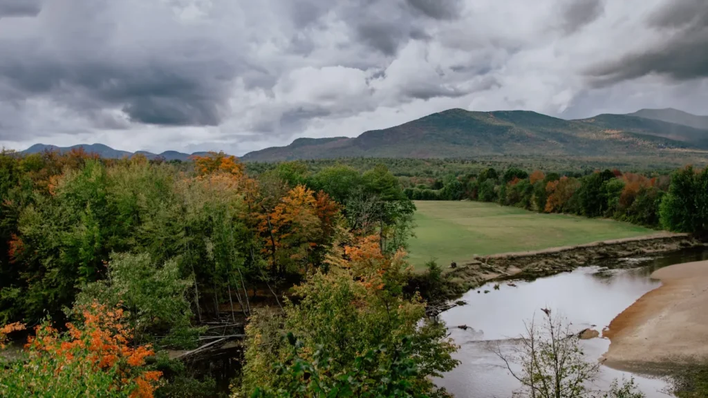
The photo at the top of this page is not Lewis Creek.
It is a regional stand-in, honestly captioned but generic — we will not put a name to a river we cannot prove. Send us a photograph you took here and it replaces the stand-in, with your credit on it.
Add a photo of this water
Landscape, not fish — the water itself. Reviewed by hand before it appears. The first one published here earns the Pioneer badge.
Fished this water? Add a photo
Reviewed by hand before it appears. Pick the water, not the spot — we never publish exact locations.
Access
North Ferrisburgh - the village at the gauge and the usual reference point for the middle creek.
Road crossings through Ferrisburgh and Starksboro - the standard access points along the valley.
Lake Champlain - the lake the creek enters, source of the steelhead and salmon runs.
Vergennes - the nearest small city to the south, with fuel, food, lodging and tackle.
Burlington - the regional centre roughly half an hour north, with fly shops and guides.
Little Otter Creek - a neighbouring Champlain tributary with similar lake-run potential.
New Haven River - a nearby Green Mountain stream offering classic freestone trout fishing.
Seasons
Spring: high water and the spring run of lake fish into the lower creek make this the most anticipated period.
Summer: the upper creek holds trout in the cold pools while the lower water fishes for smallmouth bass and pike.
Fall: the autumn run brings steelhead and landlocked salmon up from the lake and brown trout colour up above.
Winter: flows are low and the creek is largely left alone, with most local effort moving out onto Lake Champlain.
From the water
No logged trips yet. Be the first to put this water on your map.
Log this water
Fished it or cleaned it? Log in or create a free account to log a trip with photos and earn the waterway badge.
Questions
What is the current flow on the Lewis Creek?
As of Oct 18, 5:15 pm, the USGS gauge LEWIS CREEK AT NORTH FERRISBURG, VT reads 36 cfs. Conditions update every 15 minutes.
What species can you catch on the Lewis Creek?
Anglers target Brook Trout, Brown Trout, Fallfish, Landlocked Salmon, Northern Pike, Rainbow Trout, Rock Bass, Smallmouth Bass, Steelhead, White Sucker, Yellow Perch on the Lewis Creek in Vermont.
Where can you access the Lewis Creek?
North Ferrisburgh - the village at the gauge and the usual reference point for the middle creek. Road crossings through Ferrisburgh and Starksboro - the standard access points along the valley. Lake Champlain - the lake the creek enters, source of the steelhead and salmon runs. Vergennes - the nearest small city to the south, with fuel, food, lodging and tackle. Burlington - the regional centre roughly half an hour north, with fly shops and guides. Little Otter Creek - a neighbouring Champlain tributary with similar lake-run potential. New Haven River - a nearby Green Mountain stream offering...
When is the best time to fish the Lewis Creek?
Spring: high water and the spring run of lake fish into the lower creek make this the most anticipated period. Summer: the upper creek holds trout in the cold pools while the lower water fishes for smallmouth bass and pike. Fall: the autumn run brings steelhead and landlocked salmon up from the lake and brown trout colour up above. Winter: flows are low and the creek is largely left alone, with most local effort moving out onto Lake Champlain.
Where are the fishing regulations for the Lewis Creek?
Regulations change by season and section. Read the current rules on the Vermont agency site: https://www.vtfishandwildlife.com/fish/fishing-regulations