Fishes Chattooga River
River · North Georgia · Georgia
Chattooga River Fishing Guides
A Wild and Scenic river on the Georgia and South Carolina line, wild trout in the upper sections and legendary whitewater below, with no development on either bank.
Map of the Chattooga River
15 numbered points: 5 access points, 6 campsites, 1 bridge, 1 park or conservation area, 1 regulation section limit, 1 USGS gauge. Tap a marker for details. Reviewed Sep 26, 2026.
- Access / boat ramp (5)
- Campsite (6)
- Bridge crossing (1)
- Park / conservation area (1)
- Regulation section limit (1)
- USGS gauge (1)
Map data © OpenStreetMap contributors. Points are curated from OpenStreetMap and state agency sources; confirm access and hours before you go.
Print it. Bag it. Bring it.Phones die, screens crack, and most of this water has no signal. Print this map, fold it into a zip-top bag or dry bag with your license, and you have a backup your electronics can’t give you. Every marker is numbered so you can say exactly where you are.
Open the printable mapAll 15 points on this map
| # | Point | Type | Lat, Lon | Notes |
|---|---|---|---|---|
| 1 | Burrells Ford Campground USFS, walk-in | Campsite | 34.96901, -83.11814 | Walk-in only, about a quarter mile from the parking area. The Burrells Place day-use area sits 200 m upstream on the same access road. |
| 2 | Chattooga Trail footbridge, Burrells Ford foot crossing | Bridge crossing | 34.96923, -83.11965 | Carries the Chattooga River Trail (TR 221). A foot crossing, not a road bridge. |
| 3 | Sandy Beach Campsite riverside, walk-in | Campsite | 34.94215, -83.12078 | |
| 4 | Simms Field riverside, walk-in | Campsite | 34.94318, -83.11919 | |
| 5 | Licklog Falls Campground walk-in | Campsite | 34.92907, -83.12996 | |
| 6 | Russell Farmstead USFS interpretive site | Park / conservation area | 34.90971, -83.17274 | Historic homestead on the Georgia bank, just above the GA 28 crossing. |
| 7 | Hwy 28 Chattooga River Access USFS boating site, GA/SC line | Access / boat ramp | 34.90791, -83.18050 | The main upper put-in, at the GA 28 bridge. OSM maps a slipway 40 m away and the Bartram Trail trailhead 100 m off; all one access on the ground. |
| 8 | Delayed Harvest section - downstream limit GA 28 bridge | Regulation section limit | 34.90786, -83.18104 | Georgia's delayed-harvest reach runs upstream from the GA 28 bridge to the mouth of Reed Creek. Boundary only - check the current regulations for what applies inside it. |
| 9 | Long Bottom Ford USFS campground | Campsite | 34.89834, -83.18667 | |
| 10 | Earl's Ford Chattooga River Access USFS boating site | Access / boat ramp | 34.87650, -83.22966 | Reached by a rough forest road. The usual Section III put-in; everything below here is whitewater. |
| 11 | Hwy 76 Chattooga River Access USFS boating site, GA 76 bridge | Access / boat ramp | 34.81501, -83.30510 | At the GA 76 bridge, the busiest access on the river and the Section III take-out / Section IV put-in. |
| 12 | USGS gauge - Chattooga River near Clayton at the GA 76 bridge | USGS gauge | 34.81378, -83.30636 | Sits beside the Hwy 76 access, so its reading is the one most floaters key off. |
| 13 | Woodall Shoals Chattooga River Access USFS boating site | Access / boat ramp | 34.79769, -83.31226 | Short, steep carry to the water on the South Carolina bank. |
| 14 | Tugaloo Boat Ramp trailered, Lake Tugaloo | Access / boat ramp | 34.73688, -83.34524 | The lowest access on the mapped river, on Lake Tugaloo where the Chattooga ends. The standard Section IV take-out is a flat-water paddle from the river mouth to here. |
| 15 | Backcountry Campsite #1 near the Tugaloo end | Campsite | 34.73049, -83.35801 |
Guides on the Chattooga River
Claimed profiles take booking requests. Unclaimed profiles are built from public records so the river is never empty; the guide can claim or remove one any time.
About the Chattooga River
The Chattooga is the rare eastern river that looks the way it did a century ago. Designated Wild and Scenic in 1974, it runs fifty-seven miles from the North Carolina mountains along the Georgia and South Carolina border to Lake Tugaloo, with no roads, no houses and no development within a quarter mile of either bank. It is best known to the public as whitewater, Sections III and IV are national-caliber rafting, and known to anglers as a wild trout river that asks something of you.
Fishing centers on the upper river. Section 00 and Section I above Highway 28 hold wild brown and rainbow trout and, in the small feeder streams, southern Appalachian brook trout. The Delayed Harvest section near Burrells Ford is managed as catch-and-release with artificials from November through mid-May and is the most reliable place on the river to find numbers of fish. Below Section II the river turns into serious whitewater, and redeye bass mix with trout in the warmer lower reaches.
The Clayton gauge is the reference for both anglers and boaters. Readings in the low hundreds of cfs mean clear, wadeable trout water in the upper sections; a couple of thousand means the whitewater sections are running hard and the fishing is off. The river responds fast to mountain rain and drops nearly as fast, and the trails in and out of the gorge are steep enough that a rising river is a real problem.
Clayton is the Georgia base, with Highlands and Cashiers over the North Carolina line and Walhalla on the South Carolina side. A Georgia or South Carolina license fishes the border water; check which side you are standing on.
This water needs a real photo
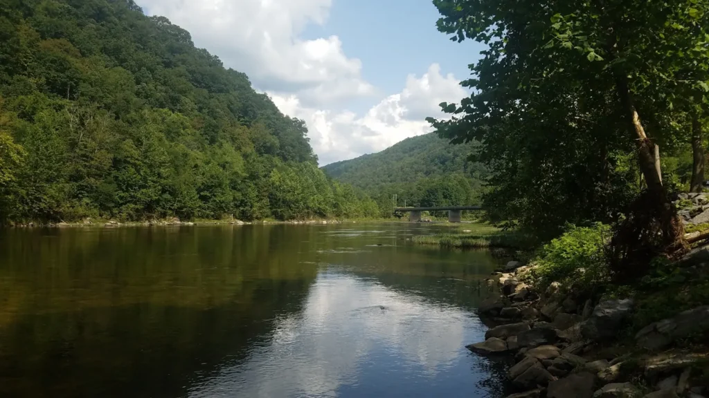
The photo at the top of this page is not Chattooga River.
It is a regional stand-in, honestly captioned but generic — we will not put a name to a river we cannot prove. Send us a photograph you took here and it replaces the stand-in, with your credit on it.
Pioneer badgeUnclaimed
Add a photo of this water
Landscape, not fish — the water itself. Reviewed by hand before it appears. The first one published here earns the Pioneer badge.
Fished this water? Add a photo
Reviewed by hand before it appears. Pick the water, not the spot — we never publish exact locations.
Access
Burrells Ford: the main upper-river access, campground and the Delayed Harvest water.
Highway 28 Bridge: the boundary between the upper fishing water and Section II.
Sandy Ford and Earls Ford: gravel-road access to the middle river.
Bull Sluice at Highway 76: the Section III put-in and a well-known overlook.
Chattooga River Trail: long walk-in access along the Georgia bank.
Ellicott Rock Wilderness: headwater access where three states meet.
Woodall Shoals and Long Creek: South Carolina side accesses on the lower river.
Seasons
Year-round on the main river; the Delayed Harvest section runs November through mid-May.
March through May: the best hatches and comfortable water levels.
June through August: warm afternoons; fish the headwaters and early mornings.
September through November: cool water, wild brown trout on the move, the quietest months in the gorge.
From the water
No logged trips yet. Be the first to put this water on your map.
Log this water
Fished it or cleaned it? Log in or create a free account to log a trip with photos and earn the waterway badge.
Questions
What is the current flow on the Chattooga River?
As of Oct 19, 3:00 am, the USGS gauge CHATTOOGA RIVER NEAR CLAYTON, GA reads 182 cfs, the 21st percentile for this date. Conditions update every 15 minutes.
What species can you catch on the Chattooga River?
Anglers target Brook Trout, Brown Trout, Rainbow Trout, Redeye Bass on the Chattooga River in Georgia.
Are there fishing guides on the Chattooga River?
GuidedFloats lists 1 guide and outfitters on the Chattooga River. Claimed profiles accept booking requests; unclaimed profiles are built from public records and link to the business.
Where can you access the Chattooga River?
Burrells Ford: the main upper-river access, campground and the Delayed Harvest water. Highway 28 Bridge: the boundary between the upper fishing water and Section II. Sandy Ford and Earls Ford: gravel-road access to the middle river. Bull Sluice at Highway 76: the Section III put-in and a well-known overlook. Chattooga River Trail: long walk-in access along the Georgia bank. Ellicott Rock Wilderness: headwater access where three states meet. Woodall Shoals and Long Creek: South Carolina side accesses on the lower river.
When is the best time to fish the Chattooga River?
Year-round on the main river; the Delayed Harvest section runs November through mid-May. March through May: the best hatches and comfortable water levels. June through August: warm afternoons; fish the headwaters and early mornings. September through November: cool water, wild brown trout on the move, the quietest months in the gorge.
Where are the fishing regulations for the Chattooga River?
Regulations change by season and section. Read the current rules on the Georgia agency site: https://georgiawildlife.com/fishing-regulations