Narraguagus River Fishing Guides
One of the last Downeast Atlantic salmon rivers, running two hundred and twenty-seven square miles of Washington County barrens and forest to tidewater at Cherryfield, with a long gauge record at the village.
Map of the Narraguagus River
20 numbered points: 2 access points, 6 bridges, 8 parks and conservation areas, 2 regulation section limits, 1 hazard, 1 USGS gauge. Tap a marker for details. Reviewed Sep 25, 2026.
- Access / boat ramp (2)
- Bridge crossing (6)
- Park / conservation area (8)
- Regulation section limit (2)
- Dam / hazard (1)
- USGS gauge (1)
Print it. Bag it. Bring it.Phones die, screens crack, and most of this water has no signal. Print this map, fold it into a zip-top bag or dry bag with your license, and you have a backup your electronics can’t give you. Every marker is numbered so you can say exactly where you are.
Open the printable mapAll 20 points on this map
| # | Point | Type | Lat, Lon | Notes |
|---|---|---|---|---|
| 1 | 32-07-0 Road Woods-road crossing on the upper river | Bridge crossing | 44.99301, -68.10449 | |
| 2 | Stud Mill Road Main woods-road crossing | Bridge crossing | 44.97076, -68.12418 | |
| 3 | Bracey Pond Road Woods-road crossing | Bridge crossing | 44.94791, -68.10878 | |
| 4 | Airline Road Route 9 (the Airline) crossing | Bridge crossing | 44.84255, -68.06982 | |
| 5 | Chalk Pond Preserve Downeast Salmon Federation preserve | Park / conservation area | 44.82769, -68.07657 | |
| 6 | Reach boundary - Route 193 bridge, Deblois MDIFW reach boundary at the ME 193 crossing | Regulation section limit | 44.74054, -68.01349 | Boundary of a reach listed under this river in the MDIFW special fishing laws. The rules themselves are not restated here - check the current law book. |
| 7 | Popple Hill Preserve Downeast Salmon Federation preserve | Park / conservation area | 44.69041, -67.97427 | |
| 8 | McHatton Brook Preserve Downeast Salmon Federation preserve | Park / conservation area | 44.67182, -67.97702 | |
| 9 | Narraguagus Junction Wildlife Management Area Maine Dept. of Inland Fisheries & Wildlife | Park / conservation area | 44.63275, -67.96768 | |
| 10 | Cherryfield hand-carry access Slipway above the ice-control dam | Access / boat ramp | 44.60922, -67.93791 | Unnamed slipway in OSM. |
| 11 | Cherryfield Dam Ice-control dam, Cherryfield | Dam / hazard | 44.60822, -67.93851 | Special MDIFW rules apply at and just below this dam - check the current law book. |
| 12 | USGS gauge 01022500 - Narraguagus River at Cherryfield Live stage and discharge | USGS gauge | 44.60806, -67.93528 | |
| 13 | Cable Pool Park Riverside park, Cherryfield | Park / conservation area | 44.60916, -67.93584 | |
| 14 | North Street Cherryfield village crossing | Bridge crossing | 44.60723, -67.92779 | |
| 15 | Veteran's Memorial Park Riverside park, Cherryfield | Park / conservation area | 44.60315, -67.92661 | |
| 16 | Stewart Park Riverside park, Cherryfield | Park / conservation area | 44.59877, -67.92486 | |
| 17 | Reach boundary - Route 1 bridge, Cherryfield MDIFW reach boundary at the US 1 crossing | Regulation section limit | 44.59810, -67.92516 | Boundary of a reach listed under this river in the MDIFW special fishing laws. The rules themselves are not restated here - check the current law book. |
| 18 | Bridge Street US 1A crossing, Milbridge | Bridge crossing | 44.54203, -67.88191 | |
| 19 | Milbridge Town Marina Town marina and launch on the tidal river | Access / boat ramp | 44.54424, -67.87725 | |
| 20 | Milbridge Commons Maine Coast Heritage Trust | Park / conservation area | 44.53344, -67.88027 |
Guides on the Narraguagus River
Claimed profiles take booking requests. Unclaimed profiles are built from public records so the river is never empty; the guide can claim or remove one any time.
No guides listed yet
Guide or outfit this water? Create your profile. Listing is free, the commission is 10% or 7% with a premium profile, and premium profiles list first on this water.
About the Narraguagus River
The Narraguagus rises in the lakes and bogs of interior Washington County and runs south through blueberry barrens and coastal forest to tidewater at Cherryfield, entering Narraguagus Bay below the village. Two hundred and twenty-seven square miles drain to the gauge, which sits at Cherryfield and carries one of the longer continuous records in Downeast Maine. Discharge and stage are both on the record. A temperature sensor is listed at the site but has not been returning values, so this page shows no water temperature rather than a stale figure.
This is one of the small group of Downeast rivers that still support wild Atlantic salmon, and that fact governs everything about how the river is fished and regulated. The Gulf of Maine population is listed as endangered under federal law, and Atlantic salmon may not be targeted or taken. Anglers fishing for other species here should know the rules before wetting a line and should handle any salmon encountered incidentally with real care. The river has a long history as a salmon river and the pools below Cherryfield carry names that go back generations.
What remains open is still worth the drive. Wild brook trout are present through the system and in the tributaries, and the Narraguagus has the cold clean water they need. Smallmouth bass and chain pickerel occupy the slower lower reaches and the lake-influenced water above. American eel run the river, and landlocked salmon are present in the connected lake waters upstream.
The character is granite ledge, boulder and gravel through quick runs, with long slow flowages where the river passes through bog and lake. It is a fine river to paddle, and the barrens country it crosses is unlike anywhere else in the state.
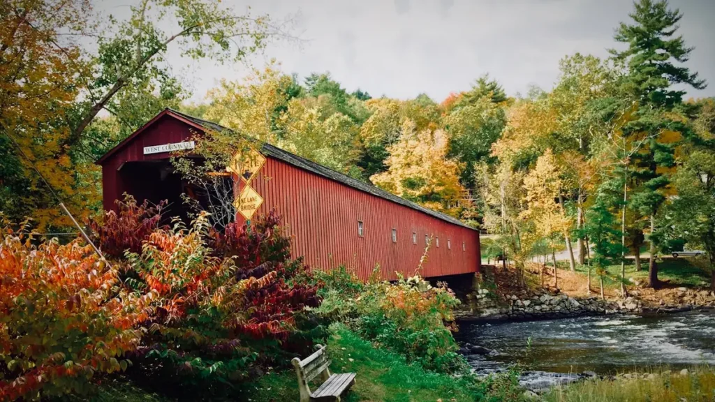
This water needs a real photo
The photo at the top of this page is not Narraguagus River.
It is a regional stand-in, honestly captioned but generic — we will not put a name to a river we cannot prove. Send us a photograph you took here and it replaces the stand-in, with your credit on it.
Add a photo of this water
Landscape, not fish — the water itself. Reviewed by hand before it appears. The first one published here earns the Pioneer badge.
Fished this water? Add a photo
Reviewed by hand before it appears. Pick the water, not the spot — we never publish exact locations.
Access
Cherryfield - the village at the gauge and the head of tide, with fuel, food and basic services.
Milbridge - the coastal town at Narraguagus Bay, with lodging, food and harbour access.
Route 193 corridor - the road paralleling much of the river with informal access points.
Machias - the Washington County seat to the east, with full services and guides.
Ellsworth - the regional centre west, with tackle, lodging and a wider range of supply.
Donnell Pond Public Reserved Land - public land to the west with camping and additional water.
Schoodic Peninsula - the Acadia National Park district south, worth a day on a longer trip.
Seasons
Spring: high cold water from snowmelt, with brook trout fishing improving through May as the river drops.
Summer: low clear water and warm afternoons, so fish early and late and move upstream to the colder tributaries.
Fall: the most pleasant fishing of the year, with brook trout active again and the barrens turning red.
Winter: the river is largely frozen and fishing is limited to the connected lake waters under the state ice rules.
From the water
No logged trips yet. Be the first to put this water on your map.
Log this water
Fished it or cleaned it? Log in or create a free account to log a trip with photos and earn the waterway badge.
Questions
What is the current flow on the Narraguagus River?
As of Oct 18, 6:00 pm, the USGS gauge Narraguagus River at Cherryfield, Maine reads 180 cfs. Conditions update every 15 minutes.
What species can you catch on the Narraguagus River?
Anglers target American Eel, Atlantic Salmon, Brook Trout, Chain Pickerel, Landlocked Salmon, Smallmouth Bass, White Sucker on the Narraguagus River in Maine.
Where can you access the Narraguagus River?
Cherryfield - the village at the gauge and the head of tide, with fuel, food and basic services. Milbridge - the coastal town at Narraguagus Bay, with lodging, food and harbour access. Route 193 corridor - the road paralleling much of the river with informal access points. Machias - the Washington County seat to the east, with full services and guides. Ellsworth - the regional centre west, with tackle, lodging and a wider range of supply. Donnell Pond Public Reserved Land - public land to the west with camping and additional water. Schoodic Peninsula - the Acadia National Park district south,...
When is the best time to fish the Narraguagus River?
Spring: high cold water from snowmelt, with brook trout fishing improving through May as the river drops. Summer: low clear water and warm afternoons, so fish early and late and move upstream to the colder tributaries. Fall: the most pleasant fishing of the year, with brook trout active again and the barrens turning red. Winter: the river is largely frozen and fishing is limited to the connected lake waters under the state ice rules.
Where are the fishing regulations for the Narraguagus River?
Regulations change by season and section. Read the current rules on the Maine agency site: https://www.maine.gov/ifw/fishing-boating/fishing/laws-rules/index.html