Lehigh River below Francis E. Walter Dam Fishing Guides
A Pocono tailwater below Francis E. Walter Dam with a gauge reporting flow and temperature, where scheduled releases govern both the trout fishing and the whitewater.
Map of the Lehigh River below Francis E. Walter Dam
20 numbered points: 7 access points, 2 outfitters, 5 bridges, 1 park or conservation area, 1 agency office, 1 hazard, 1 USGS gauge, 2 points of interest. Tap a marker for details. Reviewed Sep 25, 2026.
- Access / boat ramp (7)
- Outfitter / canoe rental (2)
- Bridge crossing (5)
- Park / conservation area (1)
- Agency / conservation office (1)
- Dam / hazard (1)
- USGS gauge (1)
- Point of interest (2)
Print it. Bag it. Bring it.Phones die, screens crack, and most of this water has no signal. Print this map, fold it into a zip-top bag or dry bag with your license, and you have a backup your electronics can’t give you. Every marker is numbered so you can say exactly where you are.
Open the printable mapAll 20 points on this map
| # | Point | Type | Lat, Lon | Notes |
|---|---|---|---|---|
| 1 | Francis E. Walter Dam US Army Corps of Engineers | Dam / hazard | 41.11277, -75.72205 | Head of the reach. The river below here is a release fishery - what the Corps is letting out of the reservoir sets the day, and the whitewater release schedule fills the gorge on published dates. |
| 2 | Launch below Francis E. Walter Dam Unnamed in OSM - Corps tailrace area | Access / boat ramp | 41.11014, -75.72380 | The first launch below the dam, 38 m off the water. The two slipways 400 m upstream are on the reservoir, not the river. |
| 3 | USGS 01447800 Lehigh River below Francis E. Walter Reservoir Flow and stage | USGS gauge | 41.10472, -75.73212 | 1.44 km below the dam and 44 m off the chained centreline. The roster coordinate reproduced the NWIS site record exactly. |
| 4 | Pennsylvania Turnpike Northeast Extension (I-476) Two carriageways, one crossing | Bridge crossing | 41.10419, -75.74949 | Landed 7 m off the centreline - the closest agreement of any crossing on the reach. No access here; it is a landmark for placing yourself in the first 5 km. |
| 5 | Whitewater Challengers White Haven base - 1.4 km from the river | Outfitter / canoe rental | 41.06558, -75.75297 | The largest of the outfitters running the Lehigh Gorge release trips out of White Haven. Pocono Whitewater (Route 903) and Whitewater Rafting Adventures (Nesquehoning) also run the gorge but sit 4.1 km and 2.8 km off the water. |
| 6 | D&L Trail White Haven trailhead and parking Walk-in - Delaware & Lehigh Trail | Access / boat ramp | 41.05996, -75.77241 | 98 m off the water. The North White Haven trailhead sits 200 m upstream and a second trailhead 100 m downstream; all three serve the same parking. The unnamed road crossing 250 m above, 34 m off the water, is the White Haven bridge. |
| 7 | Interstate 80 (Z. H. Confair Memorial Highway) Two carriageways, one crossing | Bridge crossing | 41.05566, -75.77058 | Crosses immediately above the White Haven access; the eastbound and westbound decks are separate OSM ways 27 m apart and ship as one crossing. |
| 8 | Lehigh Gorge State Park - White Haven Access PA DCNR - hand launch | Access / boat ramp | 41.05354, -75.77042 | The standard put-in for the gorge and the top of the state park. OSM carries the access as three separate polygons and the launch itself as three lanes 20 m off the water; they are one place and ship as one point. |
| 9 | D&L Trail Lehigh Tannery Trailhead Walk-in - Delaware & Lehigh Trail | Access / boat ramp | 41.03828, -75.76178 | 65 m off the water. The Tannery Road crossing is 50 m away and rides in here rather than as a separate bridge marker. Last road-served point before the gorge closes in. |
| 10 | Hickory Run Visitor Center and Park Office PA DCNR - administers Lehigh Gorge State Park | Agency / conservation office | 41.02454, -75.68915 | The staffed office for this river's state park, but it is 4.0 km east of the water at Hickory Run rather than on the bank. There is no ranger station or office mapped anywhere on the reach itself. |
| 11 | Buttermilk Falls Trailside, 56 m off the river | Point of interest | 40.97113, -75.75350 | One of the two named falls dropping into the gorge just above Rockport, visible from the D&L Trail and from the water. |
| 12 | Lehigh Gorge State Park - Rockport Access PA DCNR - non-powered launch | Access / boat ramp | 40.96662, -75.75469 | The only vehicle access in the 35 km between White Haven and Glen Onoko, reached down Rockport Road. Launch node sits 18 m off the water. Below here there is no road access at all for 21 km. |
| 13 | Lukes Falls Trailside, 61 m off the river | Point of interest | 40.96542, -75.75043 | The second named falls at Rockport, 400 m below the access. |
| 14 | D&L Trail crossing at Penn Haven Junction Rail-trail bridge - no vehicle access | Bridge crossing | 40.94528, -75.74686 | The only structure of any kind in the 21 km between Rockport and Glen Onoko. It ships because it is the single feature in its reach, and it is how you know where you are in the middle of the gorge. |
| 15 | Glen Onoko Lehigh River Access PA DCNR - Lehigh Gorge State Park | Access / boat ramp | 40.88279, -75.75963 | The take-out for the gorge run, 48 m off the water. The D&L Trail parking and trailhead sit 220 m upstream and serve it. The Glen Onoko Falls trail above the lot has been closed to the public since 2019. |
| 16 | Nesquehoning Trestle Railroad - no public crossing | Bridge crossing | 40.87413, -75.75672 | 86 m off the centreline. The last landmark before the river turns into Jim Thorpe. |
| 17 | North Street Jim Thorpe Borough | Bridge crossing | 40.86993, -75.73764 | The road crossing at the top of town, 60 m off the chained line. |
| 18 | Twining Park Jim Thorpe Borough | Park / conservation area | 40.86904, -75.73495 | 156 m off the water - the only borough park close enough to the bank to be useful. Sam Miller Field and Kemmerer Park are 411 m and 571 m off and were dropped. |
| 19 | Jim Thorpe Lehigh River Access Jim Thorpe Borough | Access / boat ramp | 40.86503, -75.73518 | Foot of the reach, 38 m off the chained line. Below here the river runs on toward Lehighton and leaves this page. |
| 20 | Blue Mountain Sports & Wear Susquehanna Street, Jim Thorpe | Outfitter / canoe rental | 40.86293, -75.73851 | Outdoor shop and rental counter 372 m from the landing - the closest retail to the water on the whole reach. OSM carries no tackle or fly shop anywhere on this river; the two that trade in town publish no mappable address. |
Guides on the Lehigh River below Francis E. Walter Dam
Claimed profiles take booking requests. Unclaimed profiles are built from public records so the river is never empty; the guide can claim or remove one any time.
No guides listed yet
Guide or outfit this water? Create your profile. Listing is free, the commission is 10% or 7% with a premium profile, and premium profiles list first on this water.
About the Lehigh River below Francis E. Walter Dam
The Lehigh River below Francis E. Walter Dam runs out of the Poconos into the Lehigh Gorge, a steep forested canyon that is one of the more dramatic river corridors in Pennsylvania. The dam is a Corps of Engineers flood-control structure, and the reach below it is a genuine tailwater whose character is set by what the Corps is releasing on any given day.
The gauge immediately below the dam reports stage, discharge and water temperature, and on this river all three are essential reading. Releases here are scheduled rather than continuous, and the schedule serves several masters: flood control, downstream water supply, a trout fishery that depends on cold summer releases, and a whitewater rafting industry that depends on high ones. A recreational release day and a good day’s fishing are not the same day. The temperature trace matters just as much, because the reach’s value as trout water through July and August rests entirely on cold water being drawn from the reservoir rather than warm water off the top.
Trout are the principal fishery in the upper gorge, with stocked and holdover browns and rainbows and some wild fish in the tributaries. Below the gorge, as the river warms, smallmouth bass take over and provide excellent fishing through the summer. Walleye are present in the lower reaches. American shad run up the Lehigh in the spring, a restored run that has become a fishery in its own right.
Access is through Lehigh Gorge State Park, which follows the river with a rail-trail giving walking and cycling access to water that would otherwise be very hard to reach. Anglers should check the release schedule before travelling, and should treat a release as a safety matter rather than an inconvenience.
This water needs a real photo
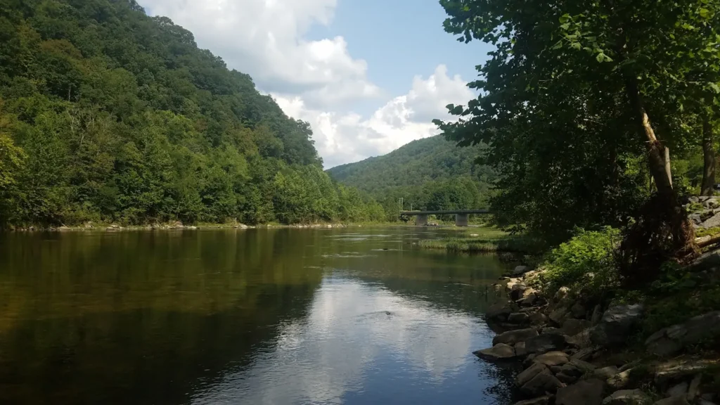
The photo at the top of this page is not Lehigh River below Francis E. Walter Dam.
It is a regional stand-in, honestly captioned but generic — we will not put a name to a river we cannot prove. Send us a photograph you took here and it replaces the stand-in, with your credit on it.
Add a photo of this water
Landscape, not fish — the water itself. Reviewed by hand before it appears. The first one published here earns the Pioneer badge.
Fished this water? Add a photo
Reviewed by hand before it appears. Pick the water, not the spot — we never publish exact locations.
Access
Francis E. Walter Dam - the structure controlling the reach, and the gauge site immediately below it.
White Haven - the nearest town at the head of the gorge, with parking, trail access and services.
Lehigh Gorge State Park - the park following the river, with a rail-trail giving access along the canyon.
Rockport - a mid-gorge access point reached by a gravel road, and a common rafting put-in.
Jim Thorpe - the town at the bottom of the gorge, the main outfitting centre with tackle, guides and lodging.
Lehigh Gorge Trail - the rail-trail itself, the practical way to reach water away from the road crossings.
Hickory Run State Park - adjacent public land with tributary streams holding wild brook trout.
Seasons
Spring: high and cold with runoff and releases, with the shad run beginning as the water warms.
Summer: governed by the release schedule, with cold releases keeping the upper gorge fishable and smallmouth strong below.
Fall: flows settle, the gorge is at its best for colour and trout, and smallmouth feed hard before winter.
Winter: cold and difficult, with limited access, though the tailwater stays open below the dam.
From the water
No logged trips yet. Be the first to put this water on your map.
Log this water
Fished it or cleaned it? Log in or create a free account to log a trip with photos and earn the waterway badge.
Questions
What is the current flow on the Lehigh River below Francis E. Walter Dam?
As of Oct 18, 5:30 pm, the USGS gauge Lehigh R bl Francis E Walter Res nr White Haven PA reads 700 cfs, with water temperature 52.9 F. Conditions update every 15 minutes.
What species can you catch on the Lehigh River below Francis E. Walter Dam?
Anglers target American Shad, Brook Trout, Brown Trout, Fallfish, Rainbow Trout, Rock Bass, Smallmouth Bass, Walleye, White Sucker on the Lehigh River below Francis E. Walter Dam in Pennsylvania.
Where can you access the Lehigh River below Francis E. Walter Dam?
Francis E. Walter Dam - the structure controlling the reach, and the gauge site immediately below it. White Haven - the nearest town at the head of the gorge, with parking, trail access and services. Lehigh Gorge State Park - the park following the river, with a rail-trail giving access along the canyon. Rockport - a mid-gorge access point reached by a gravel road, and a common rafting put-in. Jim Thorpe - the town at the bottom of the gorge, the main outfitting centre with tackle, guides and lodging. Lehigh Gorge Trail - the rail-trail itself, the practical way to reach water away from the ro...
When is the best time to fish the Lehigh River below Francis E. Walter Dam?
Spring: high and cold with runoff and releases, with the shad run beginning as the water warms. Summer: governed by the release schedule, with cold releases keeping the upper gorge fishable and smallmouth strong below. Fall: flows settle, the gorge is at its best for colour and trout, and smallmouth feed hard before winter. Winter: cold and difficult, with limited access, though the tailwater stays open below the dam.
Where are the fishing regulations for the Lehigh River below Francis E. Walter Dam?
Regulations change by season and section. Read the current rules on the Pennsylvania agency site: https://www.fishandboat.com/Fishing/Pages/Regulations.aspx