Lake Como Fishing Guides
A mountain irrigation lake under the Como Peaks in the Bitterroot Range, close enough to Darby to fish in an evening and wild enough to feel remote.
Guides on the Lake Como
Claimed profiles take booking requests. Unclaimed profiles are built from public records so the river is never empty; the guide can claim or remove one any time.
No guides listed yet
Guide or outfit this water? Create your profile. Listing is free, the commission is 10% or 7% with a premium profile, and premium profiles list first on this water.
About the Lake Como
Lake Como sits in a glacial basin on the east front of the Bitterroot Range west of Darby, held by a low dam that raised a natural lake into an irrigation storage reservoir for the Bitterroot valley below. The Como Peaks rise steeply behind it and Rock Creek enters at the head, running down out of the Selway Bitterroot Wilderness. The whole basin is Bitterroot National Forest land, which means the shoreline is public, developed with campgrounds and a trail that circles the water, and unusually accessible for a mountain lake of this character.
The gauge reports lake elevation, and as with any irrigation reservoir that number tells most of the story. The lake fills with snowmelt through late spring, holds near full through early summer, and is then drawn down through the irrigation season to serve the valley below. By late summer the surface can be well down, exposing a wide band of rocky shoreline and changing both the boat access and where fish hold. Anglers who check the elevation trace before driving up save themselves a wasted trip in a dry year.
The fishery is mixed salmonid water. Rainbow trout and westslope cutthroat are the mainstays, with brown and brook trout present, kokanee salmon in the open water and mountain whitefish throughout. Bull trout occur in the drainage and are protected, so identification matters here in a way it does not on most waters. Rock Creek above the lake offers small stream cutthroat fishing into the wilderness, and the Bitterroot River in the valley below is the larger draw for guided trips, which keeps pressure on the lake itself relatively modest outside high summer. The road in from the valley is short and paved most of the way, so this is one of the few mountain lakes in the Bitterroot that can be fished on an evening after work, and that accessibility is much of its appeal to anglers based in Hamilton and Darby.
This water needs a real photo
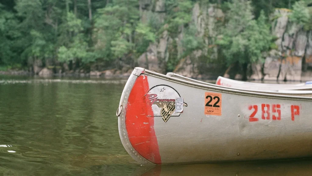
The photo at the top of this page is not Lake Como.
It is a regional stand-in, honestly captioned but generic — we will not put a name to a river we cannot prove. Send us a photograph you took here and it replaces the stand-in, with your credit on it.
Add a photo of this water
Landscape, not fish — the water itself. Reviewed by hand before it appears. The first one published here earns the Pioneer badge.
Pool right now
- 24 hours-0.12 ft ↓ falling
Reading taken 56 min ago at USGS 12344500, Lake Como near Darby, MT. Elevation is the surface of the lake above the survey datum, not depth. Source.
Fished this water? Add a photo
Reviewed by hand before it appears. Pick the water, not the spot — we never publish exact locations.
Access
Darby - the nearest town in the valley, with services, lodging and access to the Lake Como road.
Lake Como Recreation Area - the Forest Service site at the lake, with campgrounds, a ramp and the loop trail.
Rock Creek - the inflow at the head of the lake, with trail access into the wilderness above.
Bitterroot River - the main stem in the valley below and the principal guided fishery in the area.
Selway-Bitterroot Wilderness - the protected country west, with trailheads and backcountry lakes.
Hamilton - the county seat north, with fly shops, outfitters and full services.
Missoula - roughly an hour and a half north, with the nearest airport and full services.
Seasons
Spring: filling with snowmelt and cold, with fishing improving steadily as the pool comes up and the ice goes.
Summer: full early then drawing down, with the best boat access and the peak of the recreation season in the basin.
Fall: low pool, thin crowds and strong shoreline fishing as trout concentrate in the remaining water.
Winter: frozen and quiet, with ice fishing when conditions allow and a snowbound access road for much of the season.
From the water
No logged trips yet. Be the first to put this water on your map.
Log this water
Fished it or cleaned it? Log in or create a free account to log a trip with photos and earn the waterway badge.
Questions
What species can you catch on the Lake Como?
Anglers target Brook Trout, Brown Trout, Bull Trout, Kokanee Salmon, Lake Trout, Largemouth Bass, Mountain Whitefish, Rainbow Trout, Westslope Cutthroat Trout, Yellow Perch on the Lake Como in Montana.
Where can you access the Lake Como?
Darby - the nearest town in the valley, with services, lodging and access to the Lake Como road. Lake Como Recreation Area - the Forest Service site at the lake, with campgrounds, a ramp and the loop trail. Rock Creek - the inflow at the head of the lake, with trail access into the wilderness above. Bitterroot River - the main stem in the valley below and the principal guided fishery in the area. Selway-Bitterroot Wilderness - the protected country west, with trailheads and backcountry lakes. Hamilton - the county seat north, with fly shops, outfitters and full services. Missoula - roughly an...
When is the best time to fish the Lake Como?
Spring: filling with snowmelt and cold, with fishing improving steadily as the pool comes up and the ice goes. Summer: full early then drawing down, with the best boat access and the peak of the recreation season in the basin. Fall: low pool, thin crowds and strong shoreline fishing as trout concentrate in the remaining water. Winter: frozen and quiet, with ice fishing when conditions allow and a snowbound access road for much of the season.
Where are the fishing regulations for the Lake Como?
Regulations change by season and section. Read the current rules on the Montana agency site: https://fwp.mt.gov/fish/regulations